
- Brief description
-
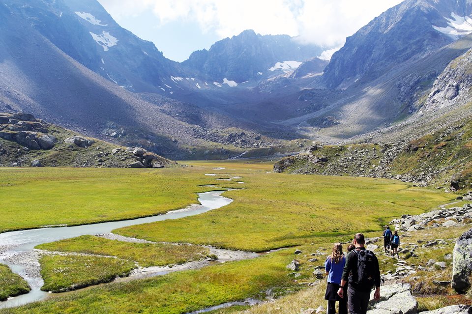
Silver cascades and beautiful marshlands.
- Difficulty
-
medium
- Rating
-
- Starting point
-
Falbeson
- Route
-
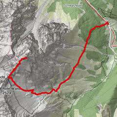
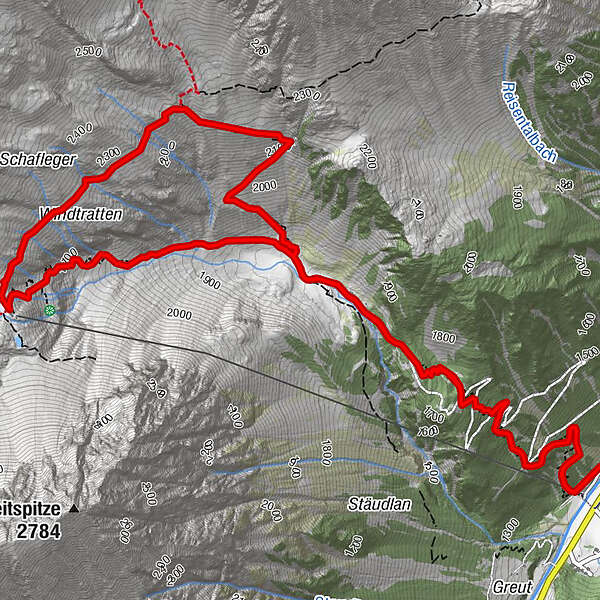
Waldcafe0.0 kmFalbesoner Ochsenalm2.3 kmNeue Regensburger Hütte5.5 kmFalbesoner Fall5.5 kmFalbesoner Ochsenalm7.3 kmWaldcafe9.6 km
- Best season
-
JanFebMarAprMayJunJulAugSepOctNovDec
- Description
-
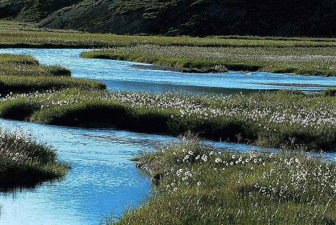
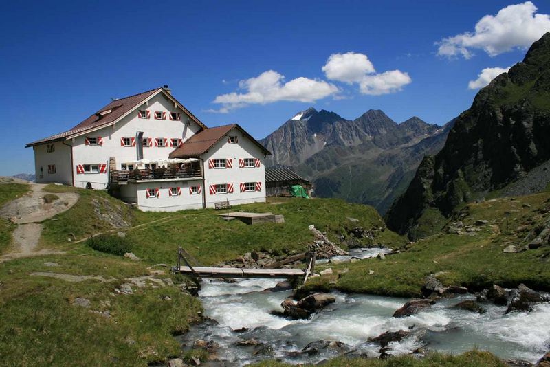
An insider tip for landscape aficionados: The area around the new Regensburger Hut is well worth hiking. Below the hut, the Falbesonbach waterfall drops a steep two-stepped cliff. Right next to the hut there is a small lake and the hill moor "Hohes Moos" stretches behind the hut. In summer the meadows are white with cotton grass.
- Directions
-
At the beginning through the steep mountain forest to the Ochsenalm hut. When you reach this plateau the view itself is worth the hike. On the one hand the hut with grazing cows and in the background the waterfall. After a short stop the steep road leads to the hut , just behind you see the small lake and the moor "Hohes Moos" - a natural paradise.
- Highest point
- 2,290 m
- Endpoint
-
New Regensburger Hut
- Height profile
-

- Equipment
-
good hiking equipment
- Tips
-
If you start early, you have more time to enjoy the nature at "Hohes Moos".
- Public transportation
-
with the free bus (depature every 15 minutes) from the Hotel Stubaierhof to the "Waldcafe/Falbeson" station.
- Parking
-
straight at the hotel Stubaierhof and then by bus (free) or at the Pub Waldcafe.
- Author
-
The tour Waterfall and Hohes Moos is used by outdooractive.com provided.
GPS Downloads


General info
Refreshment stop
Insider tip
Flora
A lot of view
Other tours in the regions
-
Brixen und Umgebung
1974
-
Stubaital
1206
-
Stubaier Gletscher
288