
© ÖAV-Hüttenfinder - Alpenverein Innsbruck

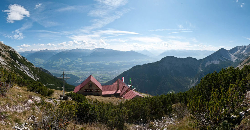
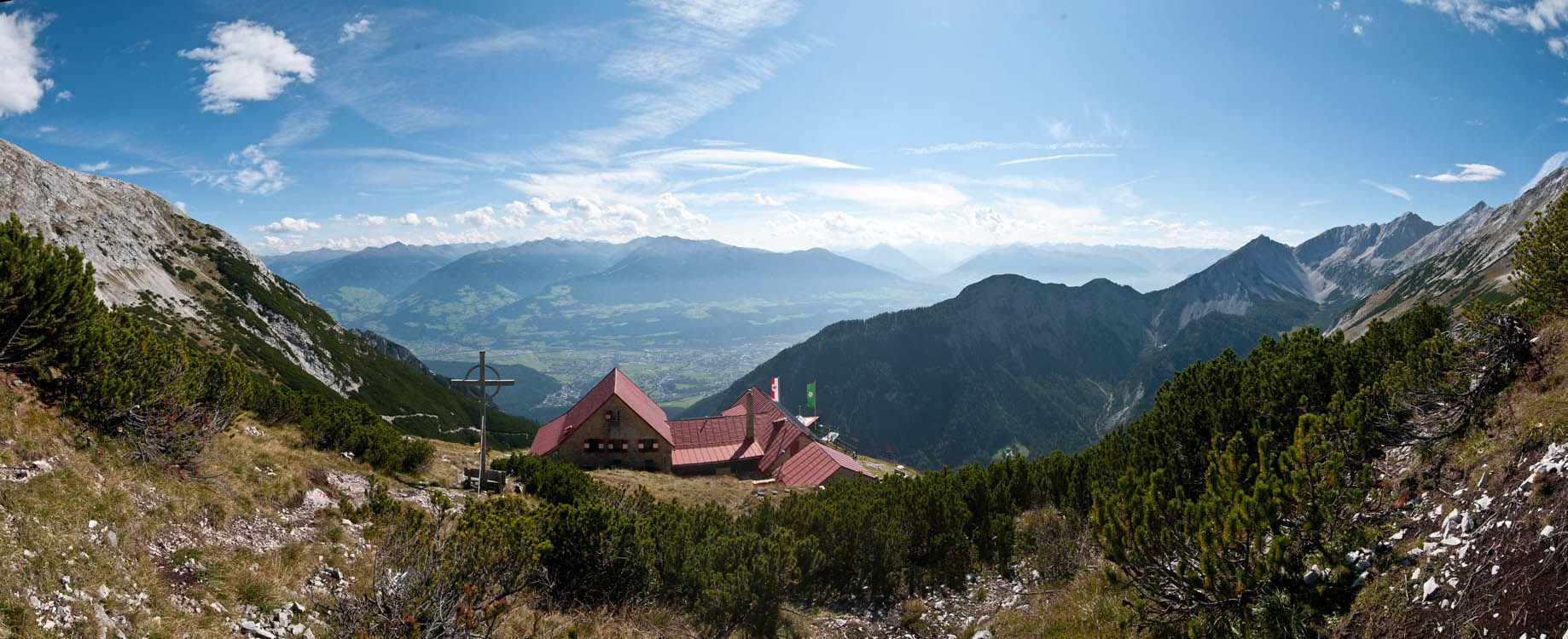
© Alpenverein Hall in Tirol - Michael Larcher
© Alpenverein Hall in Tirol - Michael Larcher

© ÖAV-Hüttenfinder - Alpenverein Innsbruck

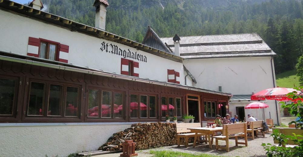
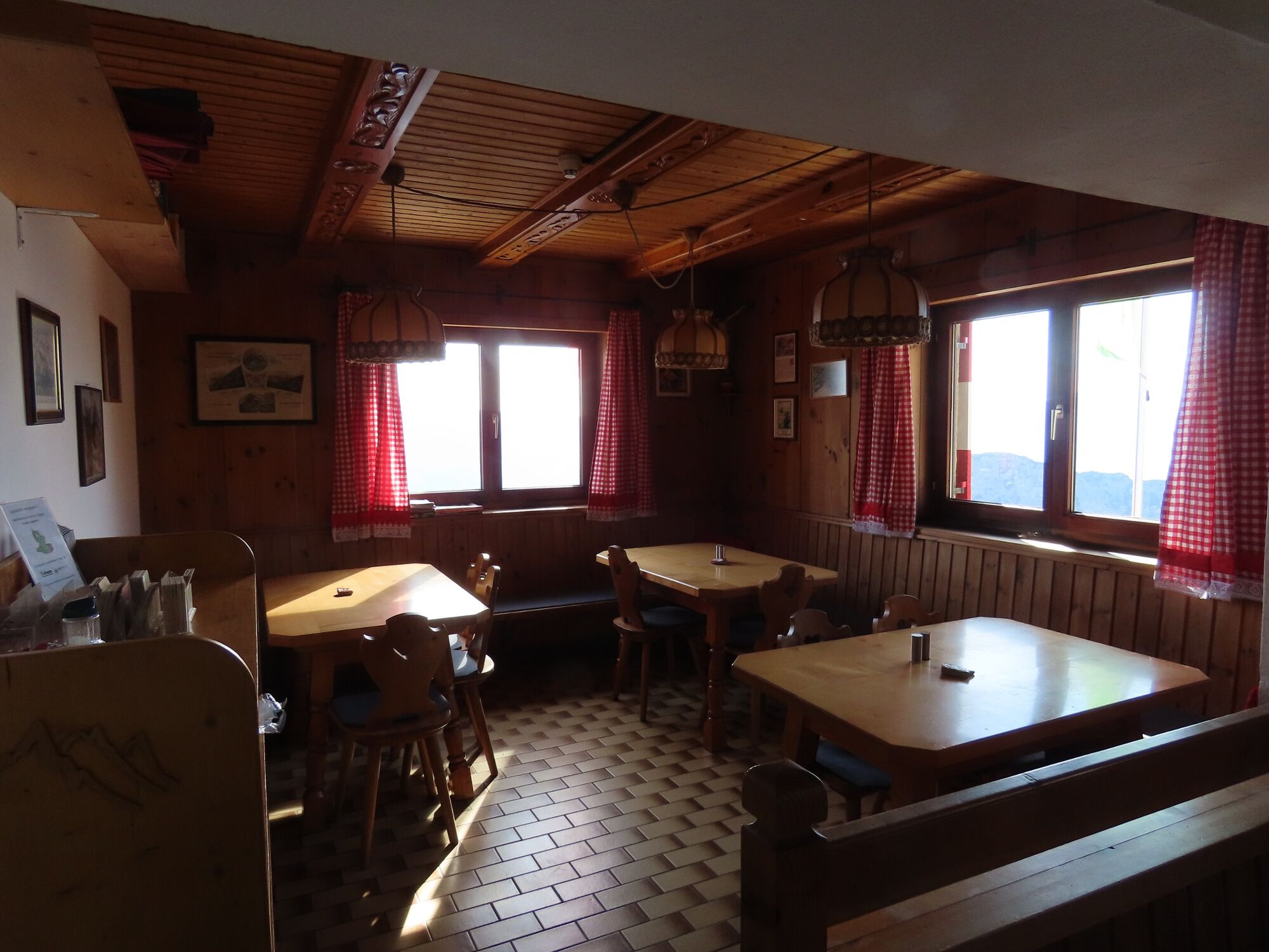
© Tourismusverband Region Hall-Wattens - Anne W.

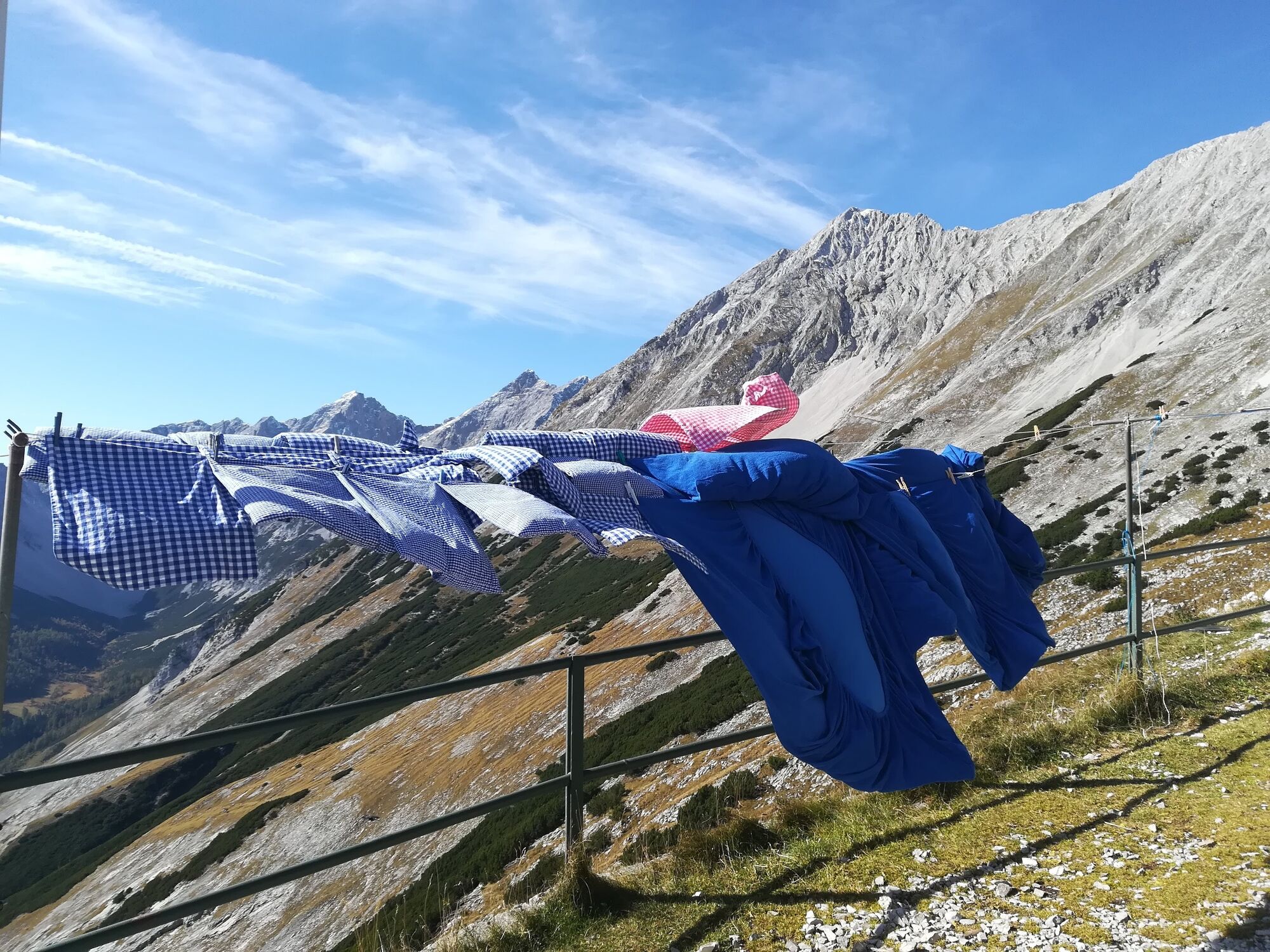
© Tourismusverband Region Hall-Wattens - Anne W.

© Tourismusverband Region Hall-Wattens - Anne W.

© Tourismusverband Region Hall-Wattens - Anne W.

© Tourismusverband Region Hall-Wattens - Anne W.
- Brief description
-
Throught the Halltal we take the trail up to the Bettwurf Hut
- Difficulty
-
difficult
- Rating
-
- Starting point
-
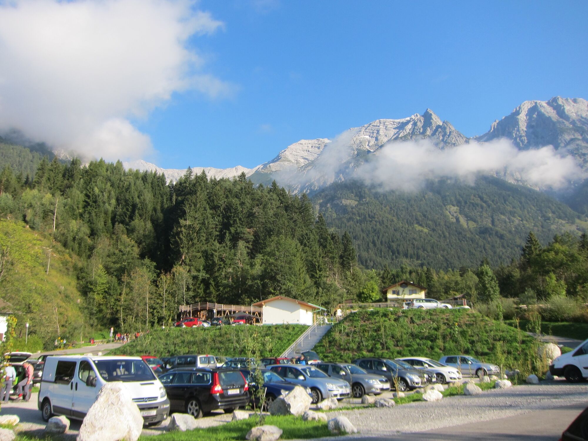
Halltal Parkplatz
- Route
-
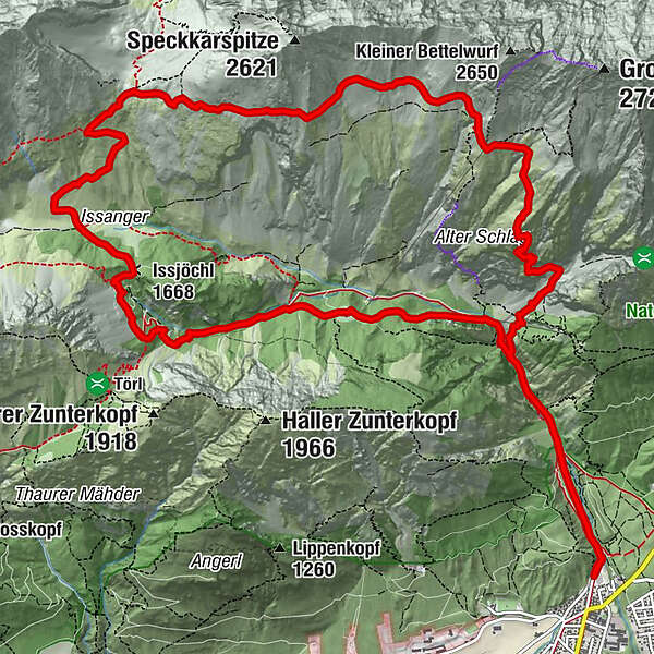
Bergerkapelle1.0 kmBettelwurfeck2.2 kmJakobibründlquelle2.2 kmKohlanger3.2 kmJausenstation St. Magdalena (1,287 m)3.4 kmErzherzogberg (1,424 m)4.8 kmHerrenhäuser (1,490 m)5.3 kmRuppertikapelle5.3 kmIssjöchl (1,668 m)6.4 kmKohlstatt (1,978 m)8.6 kmBettelwurfhütte (2,077 m)12.8 kmBeim Juchezer14.1 kmGamsgufel15.5 kmUntere Bettelwurfreise15.6 kmBergerkapelle17.2 km
- Best season
-
JanFebMarAprMayJunJulAugSepOctNovDec
- Description
-
Up to the Bettelwurf Hut through the Halltal. The way back takes us to the Lafatscherjoch.
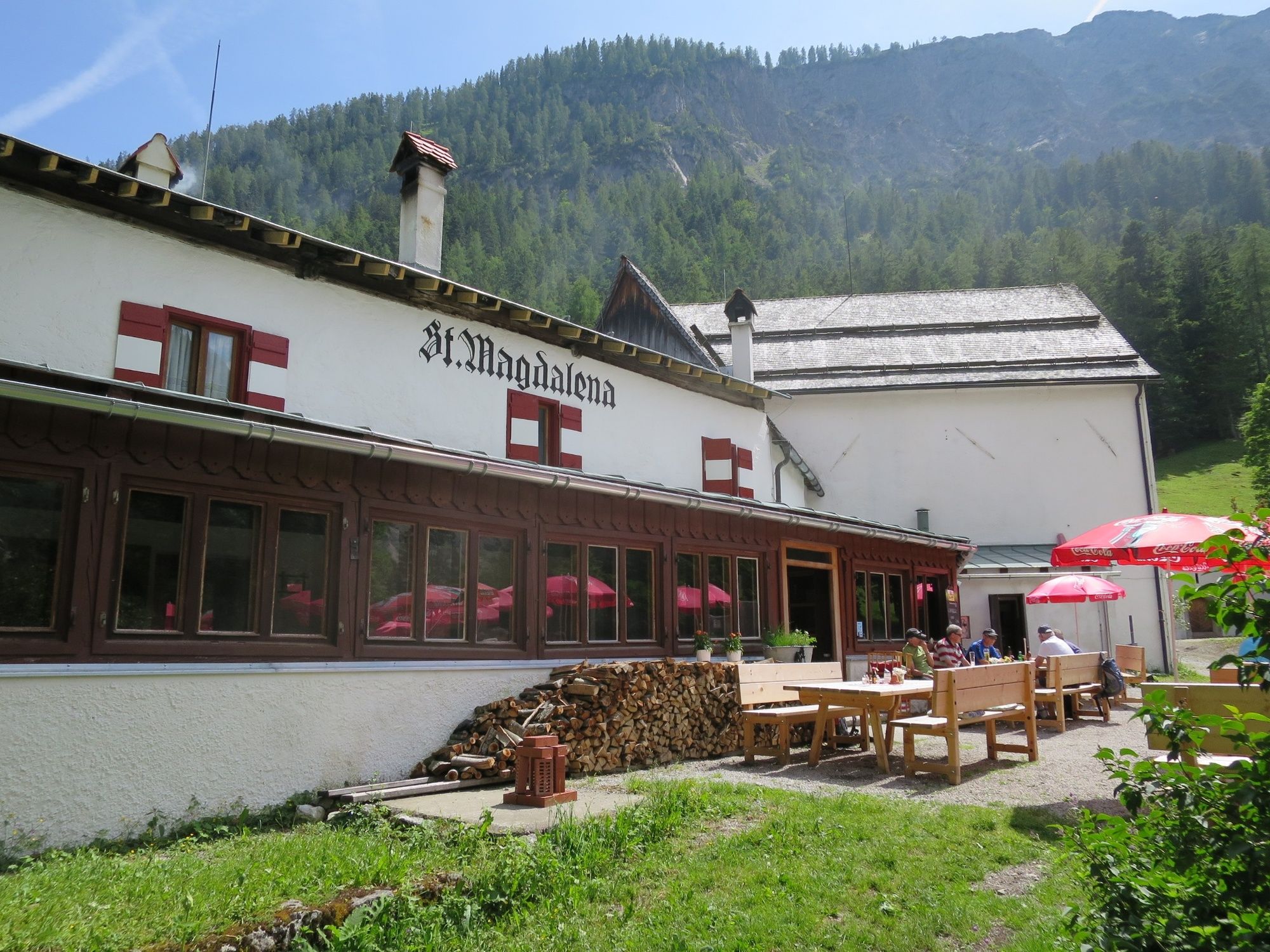
During the summer month it is possbile to take a shuttle bus to the Gasthof St. Magdalena.
- Directions
-
Unfortunatelly the direkt trail is closed. So you have to take the way over the Lafatscherjoch to get there and return. Start at the Halltal Valley entrance to the Issanger and further on up to the Lafatscherjoch. Up there we follow the "panoramic" path to Bettelwurfhütte. Taking the same way back!
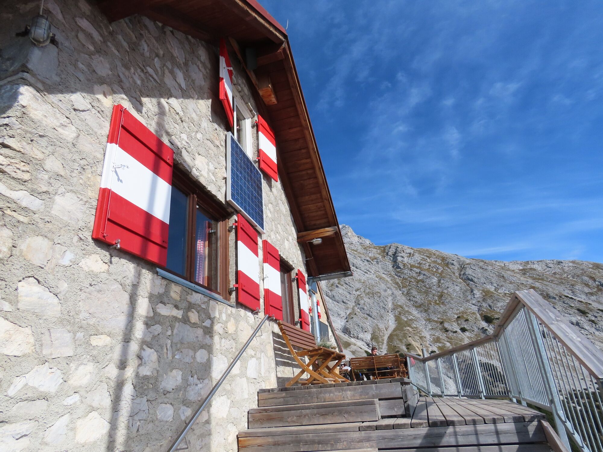
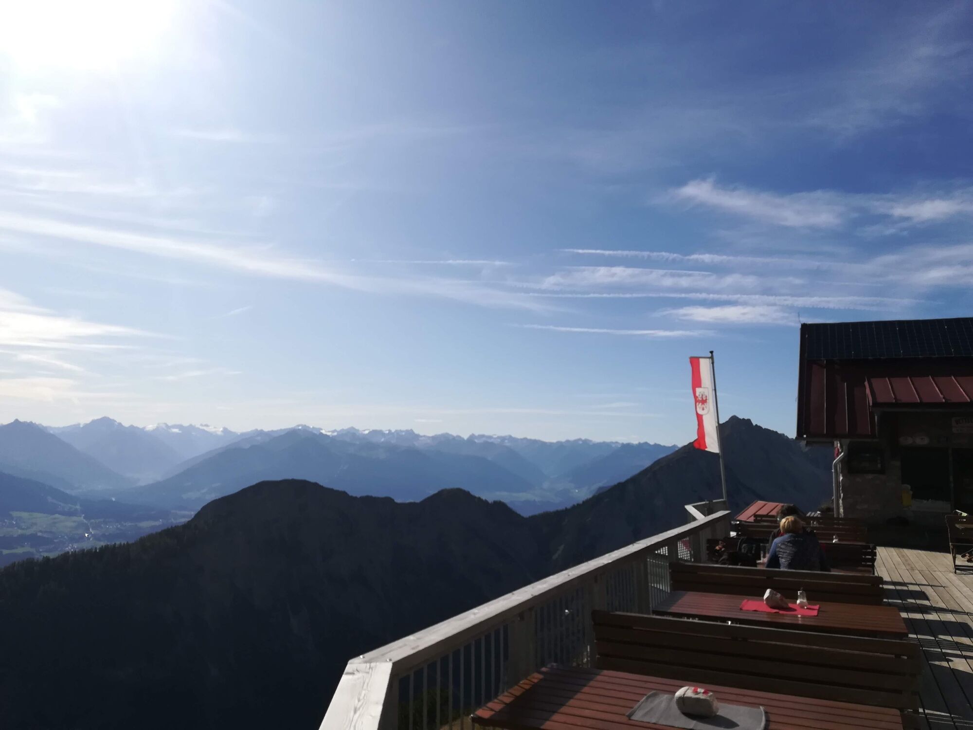
- Highest point
- 2,181 m
- Endpoint
-
Halltal Parkplatz
- Height profile
-

- Safety instructions
-
Unfortunatelly the trail 222 is closed!
- Tips
-
Herrenhäuser (buildings that formerly accommodated salt miners)
- Additional information
- Public transportation
-
Bus 502/503 Eichat/Bettelwurfsiedlung


- Author
-
The tour From the Halltal to the Bettelwurf Mountain Hut is used by outdooractive.com provided.
GPS Downloads


General info
Refreshment stop
Insider tip
A lot of view
Other tours in the regions
-
Ferienregion Hall - Wattens
1479
-
Absam
344


