

© Tourismusverband Region Hall-Wattens - Hall Wattens

© Tourismusverband Region Hall-Wattens - Hall Wattens

© Tourismusverband Region Hall-Wattens - Hall Wattens

© Tourismusverband Region Hall-Wattens - Hall Wattens

© Tourismusverband Region Hall-Wattens - Hall Wattens
- Brief description
-
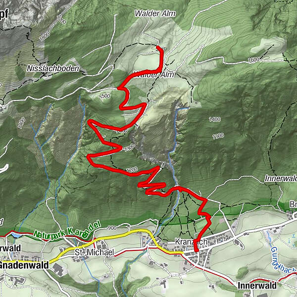
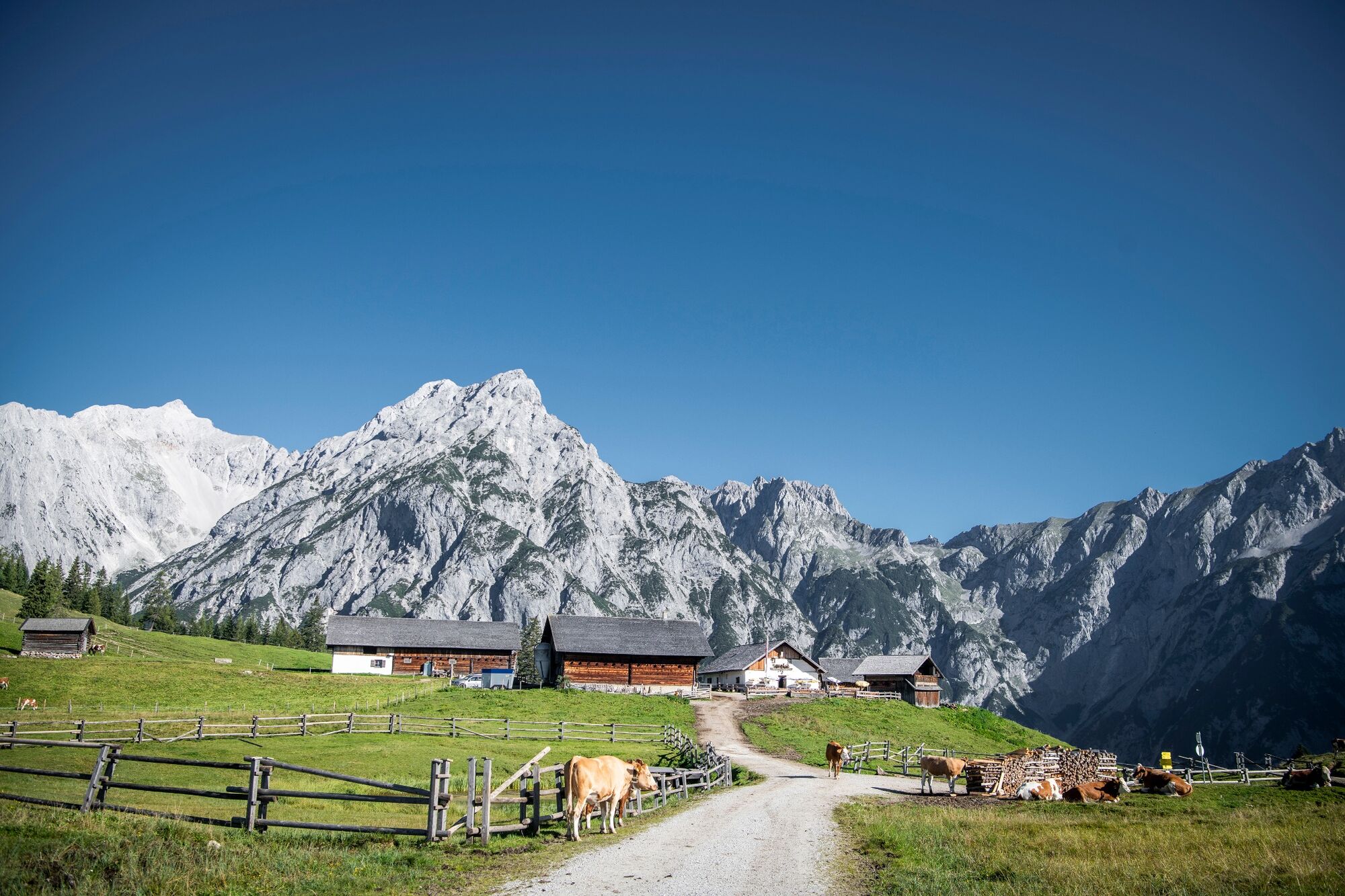
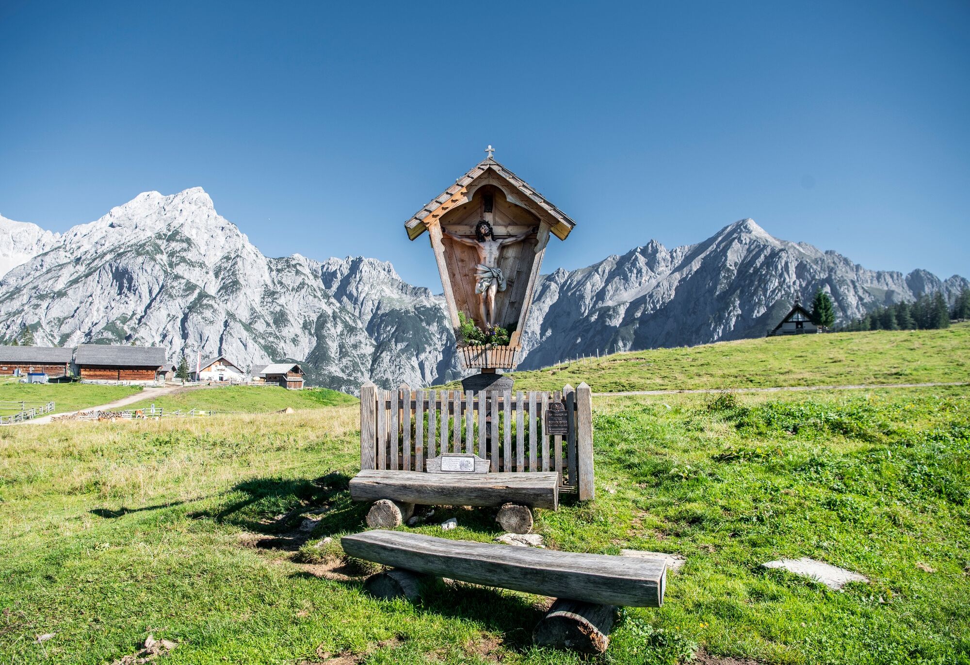
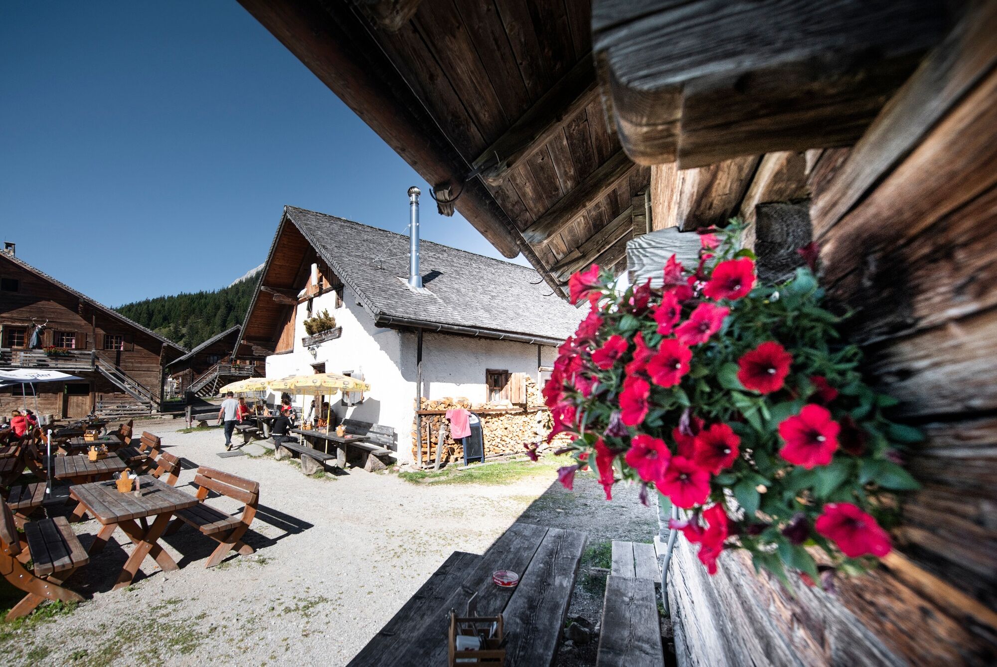
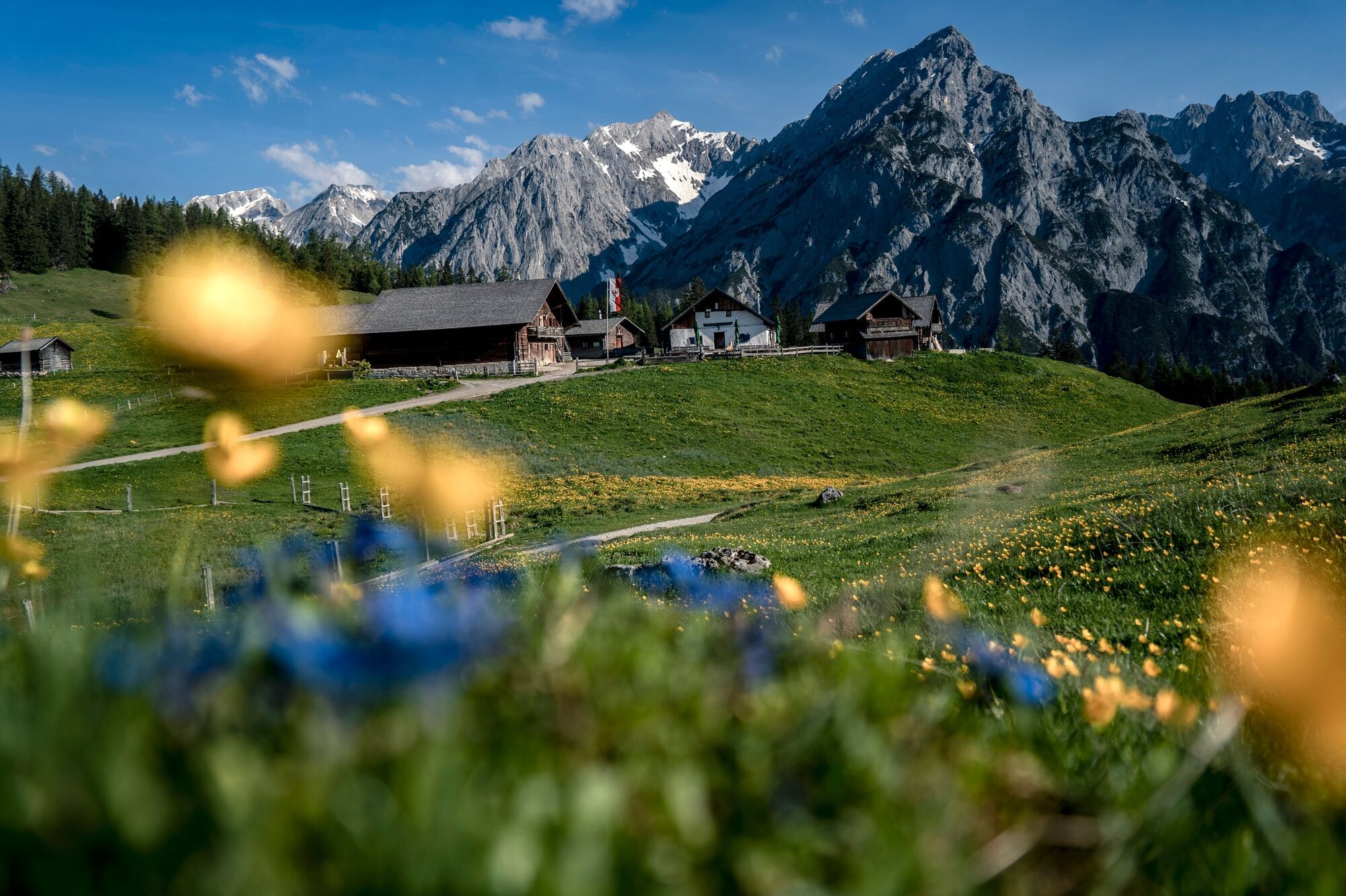
Steil hinauf zur wunderschön gelegenen Walderalm
- Difficulty
-
medium
- Rating
-
- Route
-
KranzachWalder Alm4.8 kmKranzach9.9 km
- Best season
-
JanFebMarAprMayJunJulAugSepOctNovDec
- Highest point
- 1,498 m
- Endpoint
-
Gnadenwald, Walderalm
- Height profile
-

-

-
AuthorThe tour Von Gandenwald/Kranzach zur Walderalm is used by outdooractive.com provided.
GPS Downloads


General info
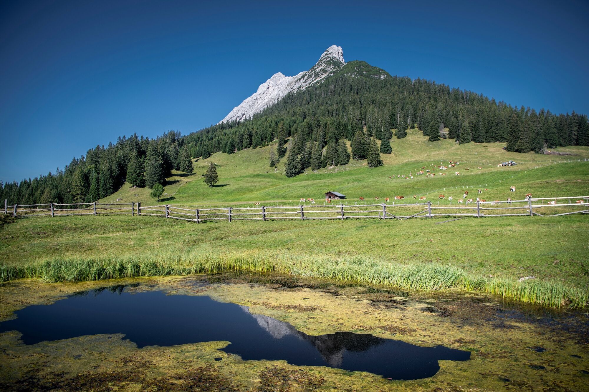
Refreshment stop
A lot of view
Other tours in the regions
-
Ferienregion Hall - Wattens
1491
-
Fritzens
323


