


- Brief description
-
This tour leads through the rugged Halltal (valley) to the almost lovely pass of the Lafatscherjoch into the Hinterautal to the Hallerangerhaus and the Hallerangeralm.
- Difficulty
-
medium
- Rating
-
- Route
-
Bergerkapelle0.6 kmBettelwurfeck1.9 kmJakobibründlquelle2.0 kmKohlanger2.9 kmJausenstation St. Magdalena (1,287 m)3.2 kmErzherzogberg (1,424 m)4.5 kmRuppertikapelle5.1 kmHerrenhäuser (1,490 m)5.1 kmIssjöchl (1,668 m)6.4 kmKohlstatt (1,978 m)8.5 kmDurchschlag10.4 kmHallerangerhaus11.2 kmHauskapelle11.6 kmHallerangeralm11.6 km
- Best season
-
JanFebMarAprMayJunJulAugSepOctNovDec
- Description
-
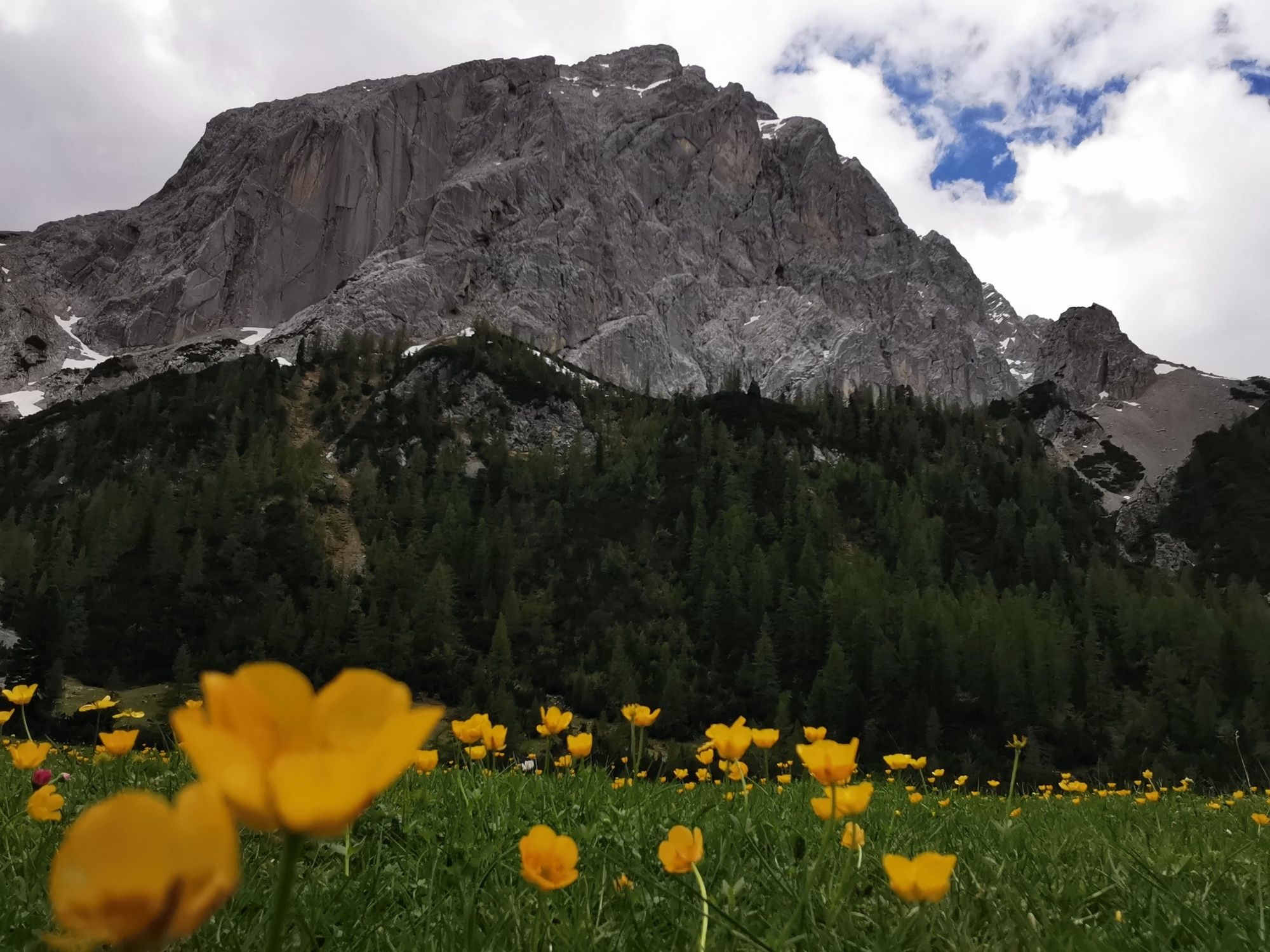
The heart of the Karwendel mountains impresses with its contrasts. The rugged mountain slopes of the Halltal (valley) and the Halleranger meadows as a destination. This hike is a part of the Munich - Venice long-distance trek.
- Directions
-
The hike start is at the Halltal entrance. Follow the way up to St. Magdalena and further on to the Herrenhäuser. Now the path continues to Issjöchl, where the Halltal widens and you come to the idyllic Issanger.
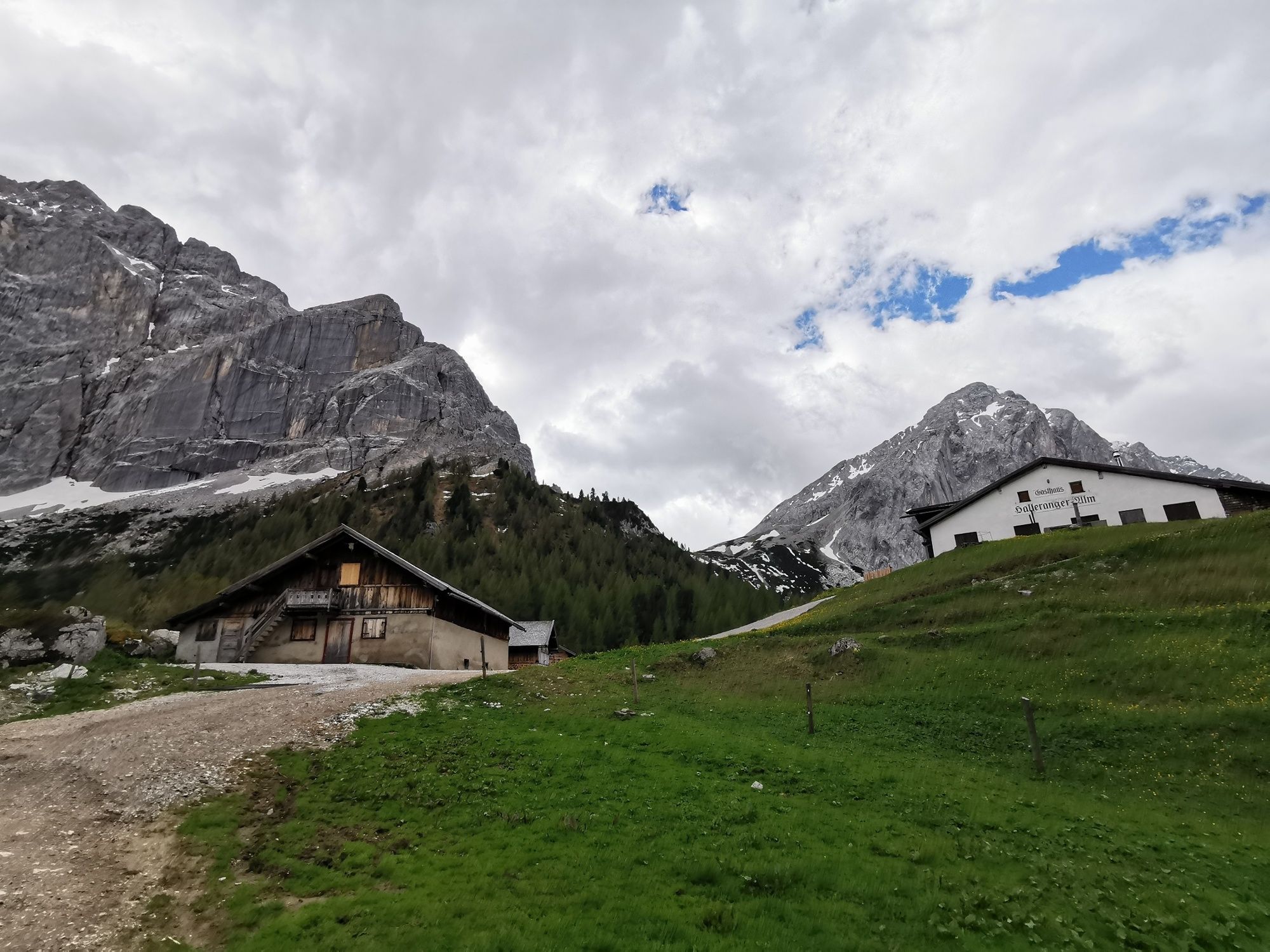
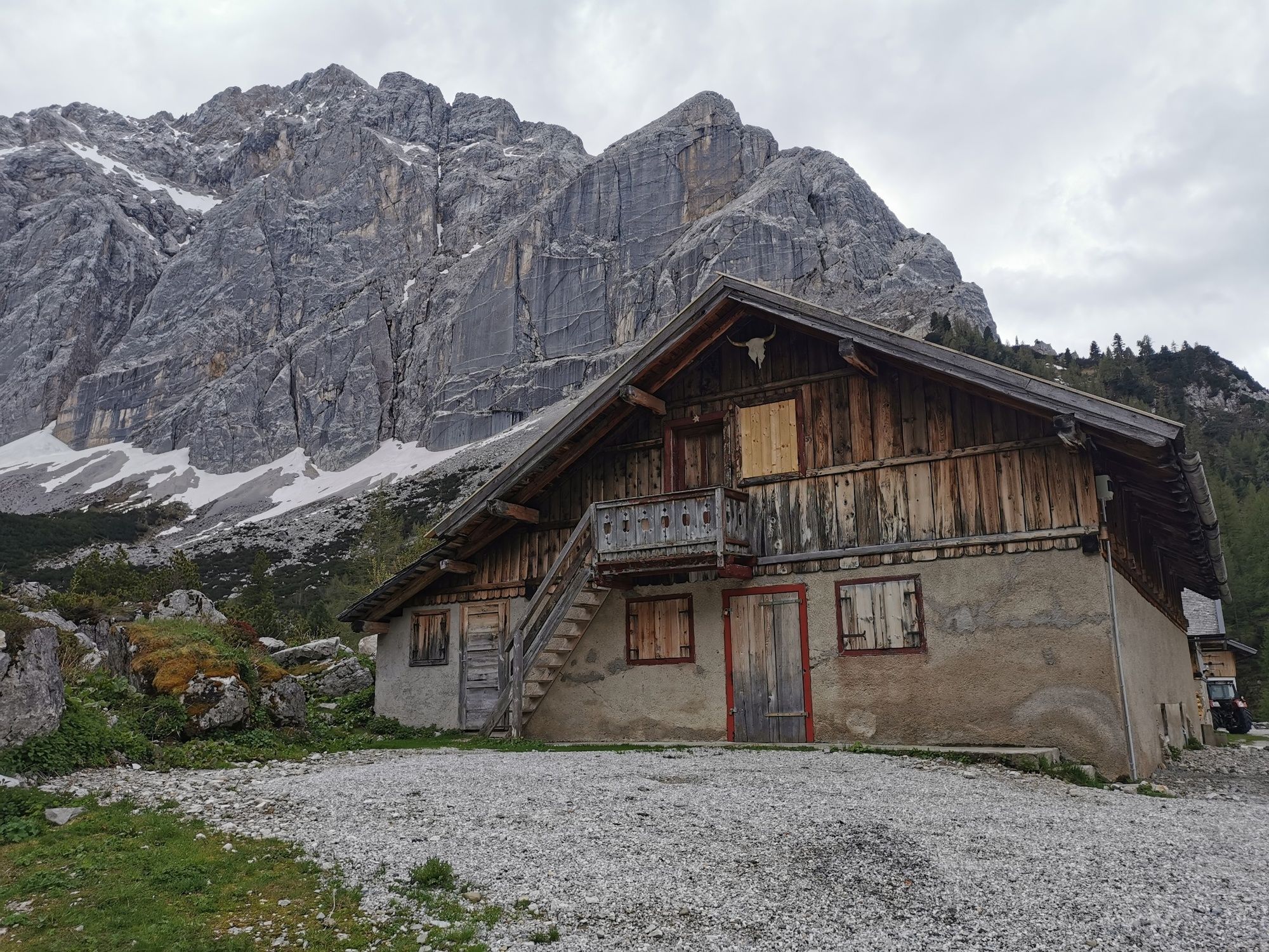
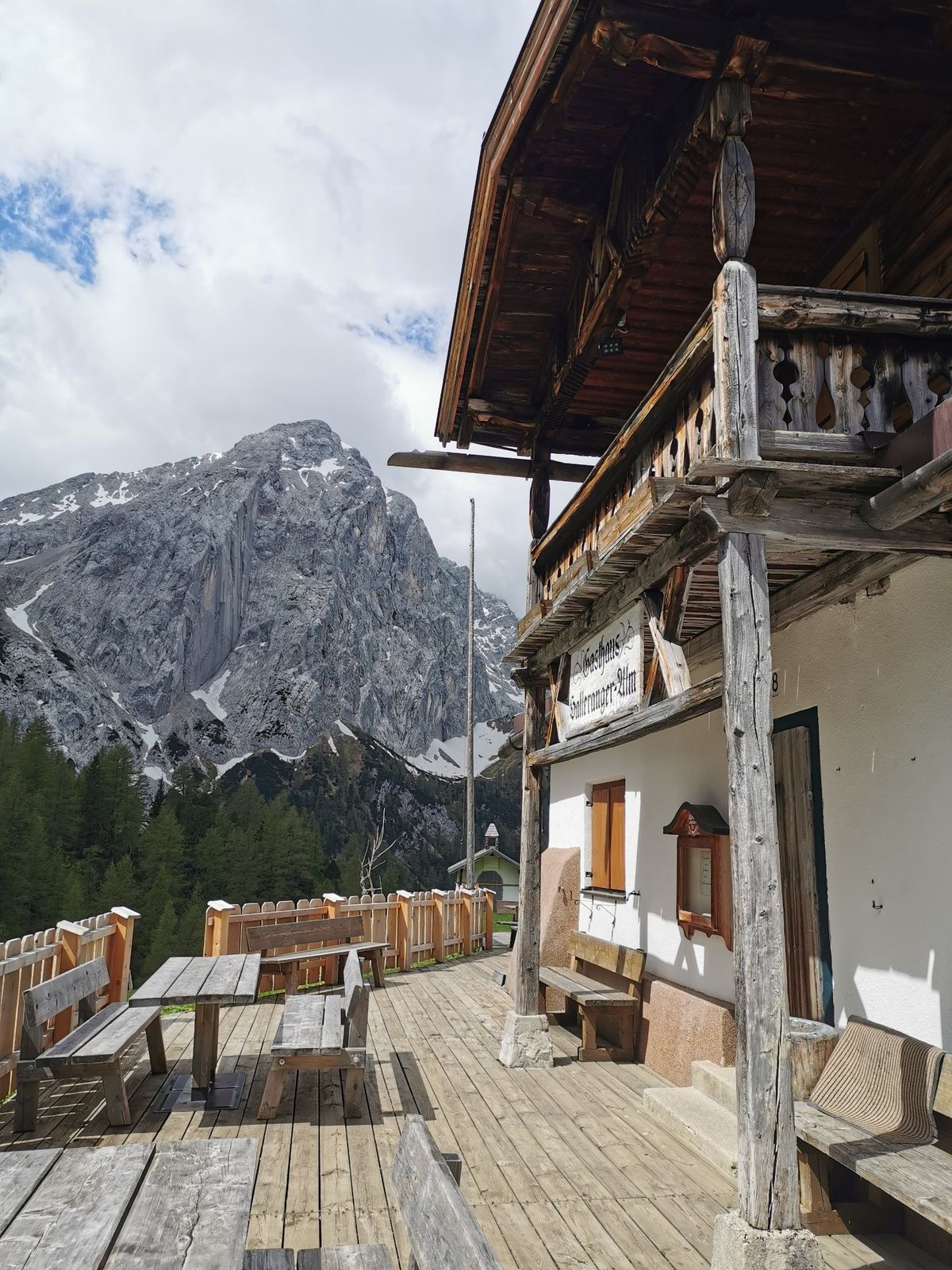
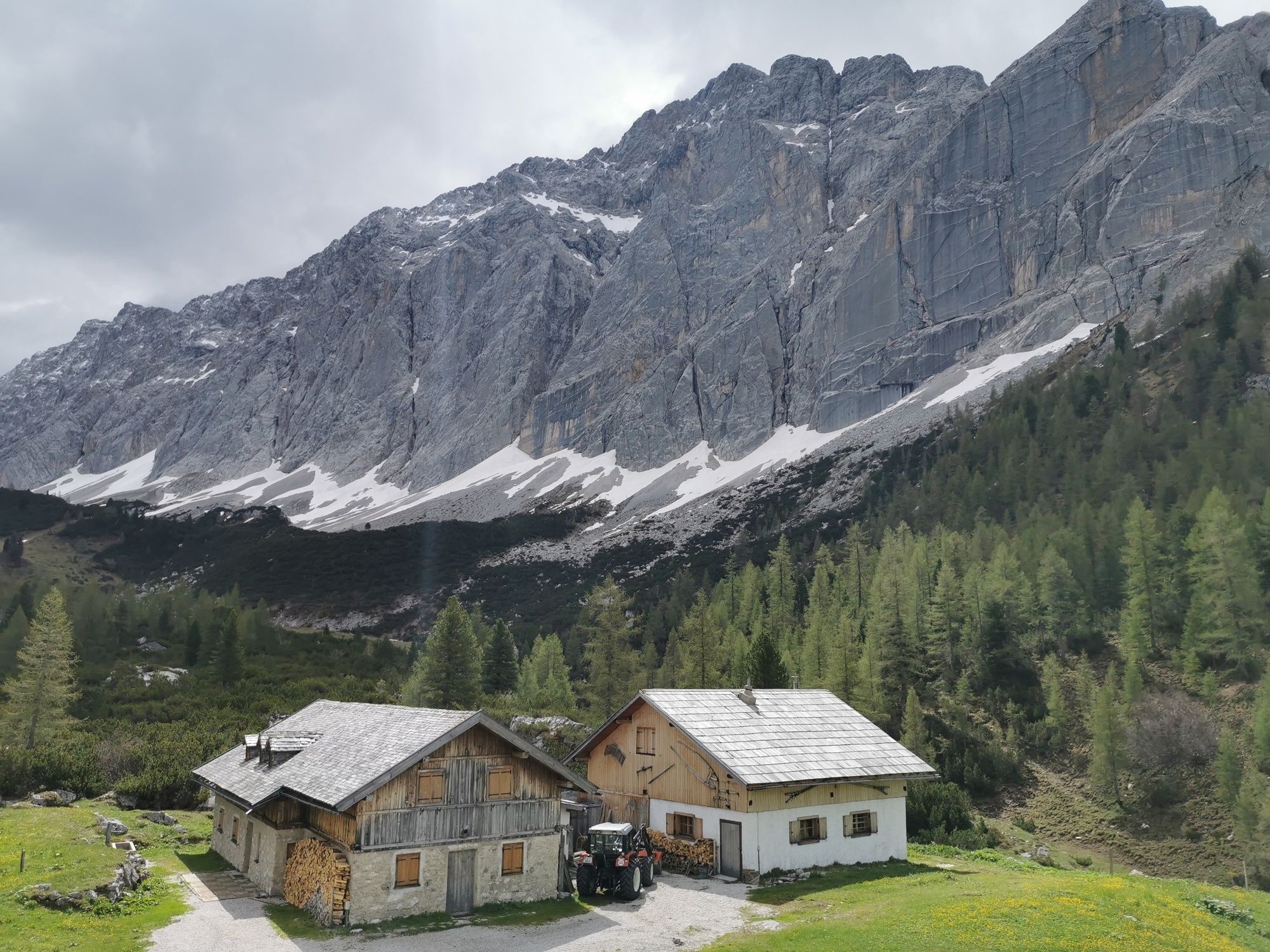
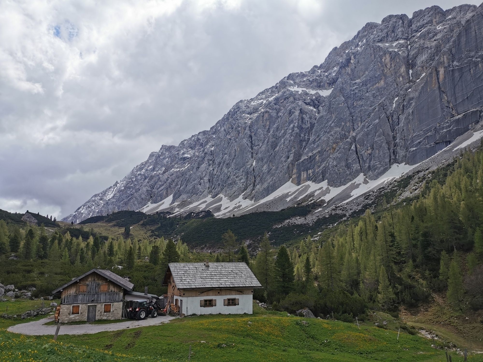
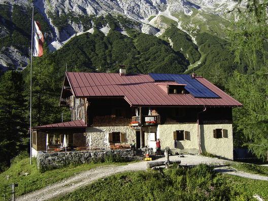
You continue steeply up to the Lafatscherjoch 2081m (pass). It can get quite warm here in summer between the mountain pines! Once at the top of the Lafatscherjoch, you have to enjoy the view on both sides before going down to the Halleranger. There you have the choice between the Hallerangeralm and the Hallerangerhaus.
The way back is the same.
The route can be shortened if you take a taxi shuttle to St. Magdalena. During summer months there is a regular shuttle on weekend. http://www.hall-wattens.at/de/halltal-taxi-shuttle-service-1.html
- Highest point
- 2,076 m
- Endpoint
-
Scharnitz, Hallerangeralm
- Height profile
-

- Tips
-
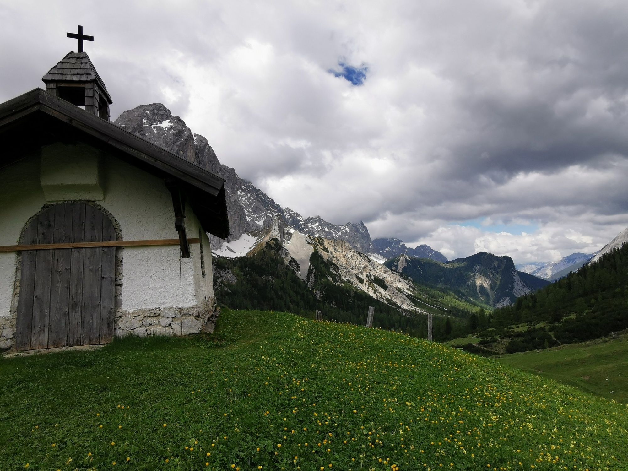
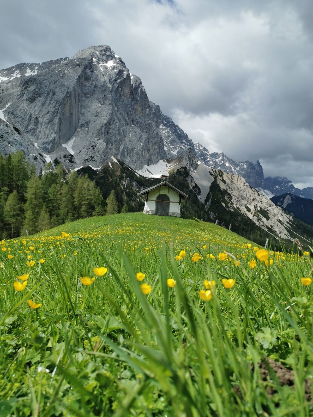
The north face of the Lafatscher looks like a huge natural monument behind the Halleranger chapel
- Public transportation
-
Bus 502/503 to Eichat/Bettelwurfsiedlung


- Author
-
The tour Through the Halltal (valley) to the Halleranger is used by outdooractive.com provided.


General info
-
Ferienregion Hall - Wattens
1478
-
Thaur
354


