

© Tourismusverband Region Hall-Wattens - Hall Wattens

© Tourismusverband Region Hall-Wattens - Hall Wattens

© Tourismusverband Region Hall-Wattens - Hall Wattens

© Tourismusverband Region Hall-Wattens - Hall Wattens

© Tourismusverband Region Hall-Wattens - Hall Wattens

© Tourismusverband Region Hall-Wattens - Hall Wattens

© Tourismusverband Region Hall-Wattens - Hall Wattens

© Tourismusverband Region Hall-Wattens - Hall Wattens

© Tourismusverband Region Hall-Wattens - Hall Wattens

© Tourismusverband Region Hall-Wattens - Hall Wattens

- Brief description
-
Without difficulties this trail takes you from the Hinterhornalm to the Walderalm
- Difficulty
-
easy
- Rating
-
- Starting point
-
Gnadenwald
- Route
-
Hinterhorn Alm0.0 kmWalder Alm1.7 kmHinterhorn Alm3.5 km
- Best season
-
JanFebMarAprMayJunJulAugSepOctNovDec
- Description
-
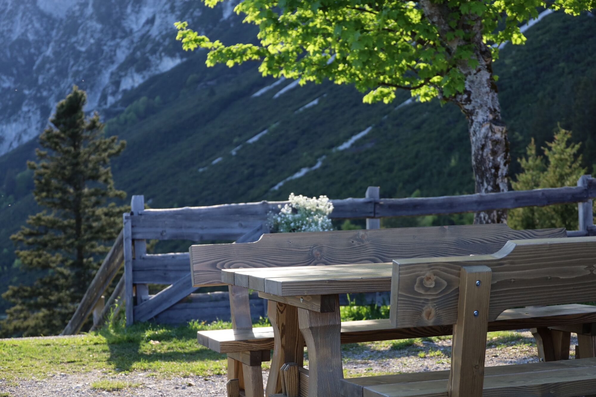
Panoramic view - one after the other
- Directions
-
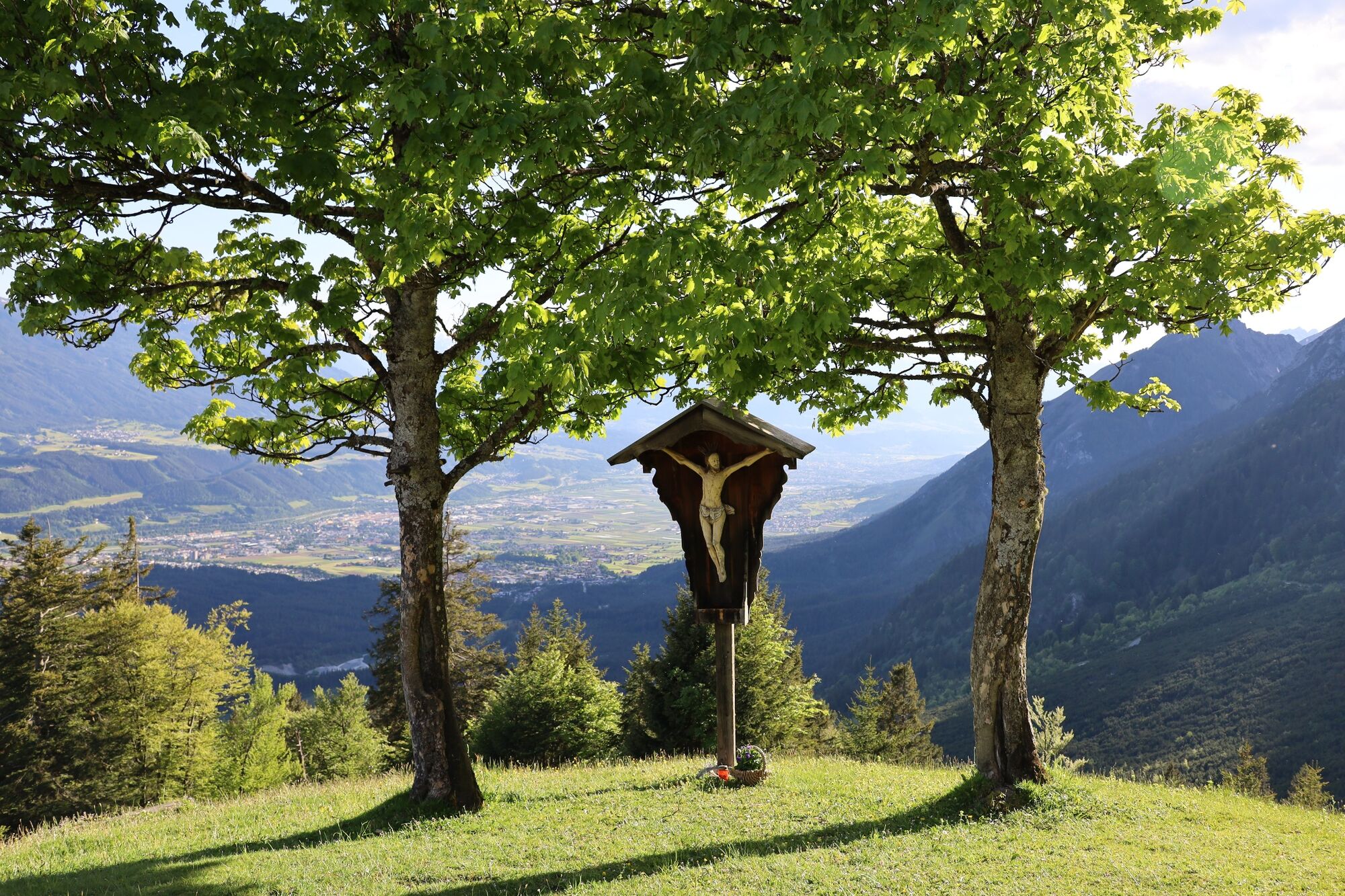
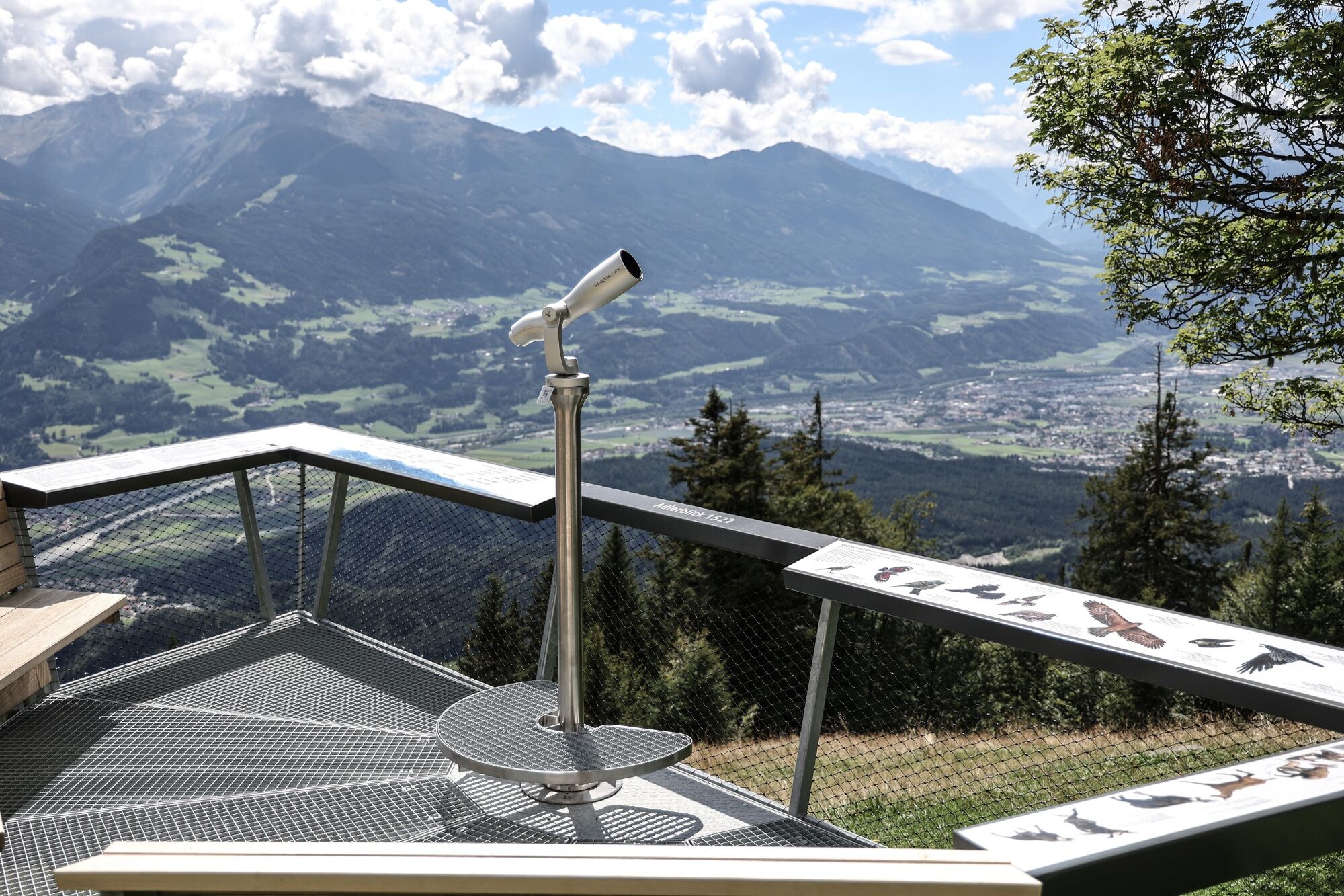
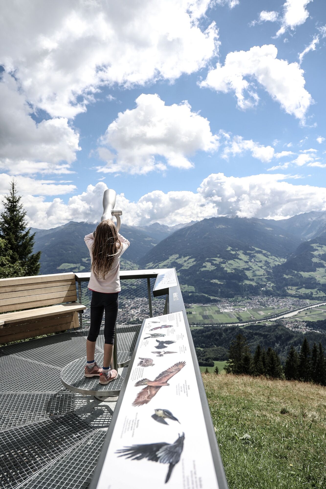
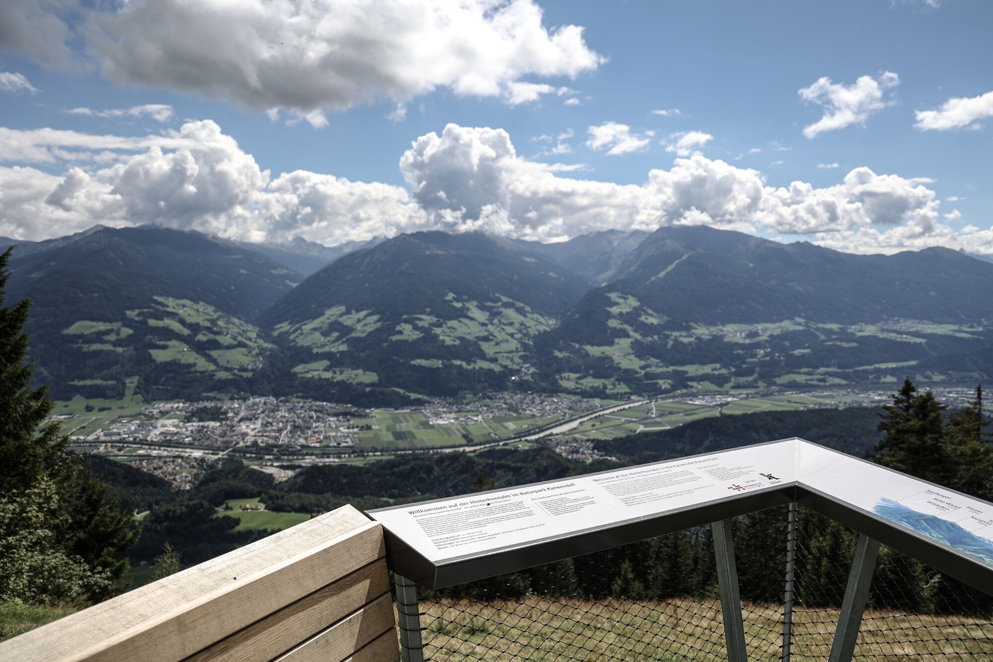
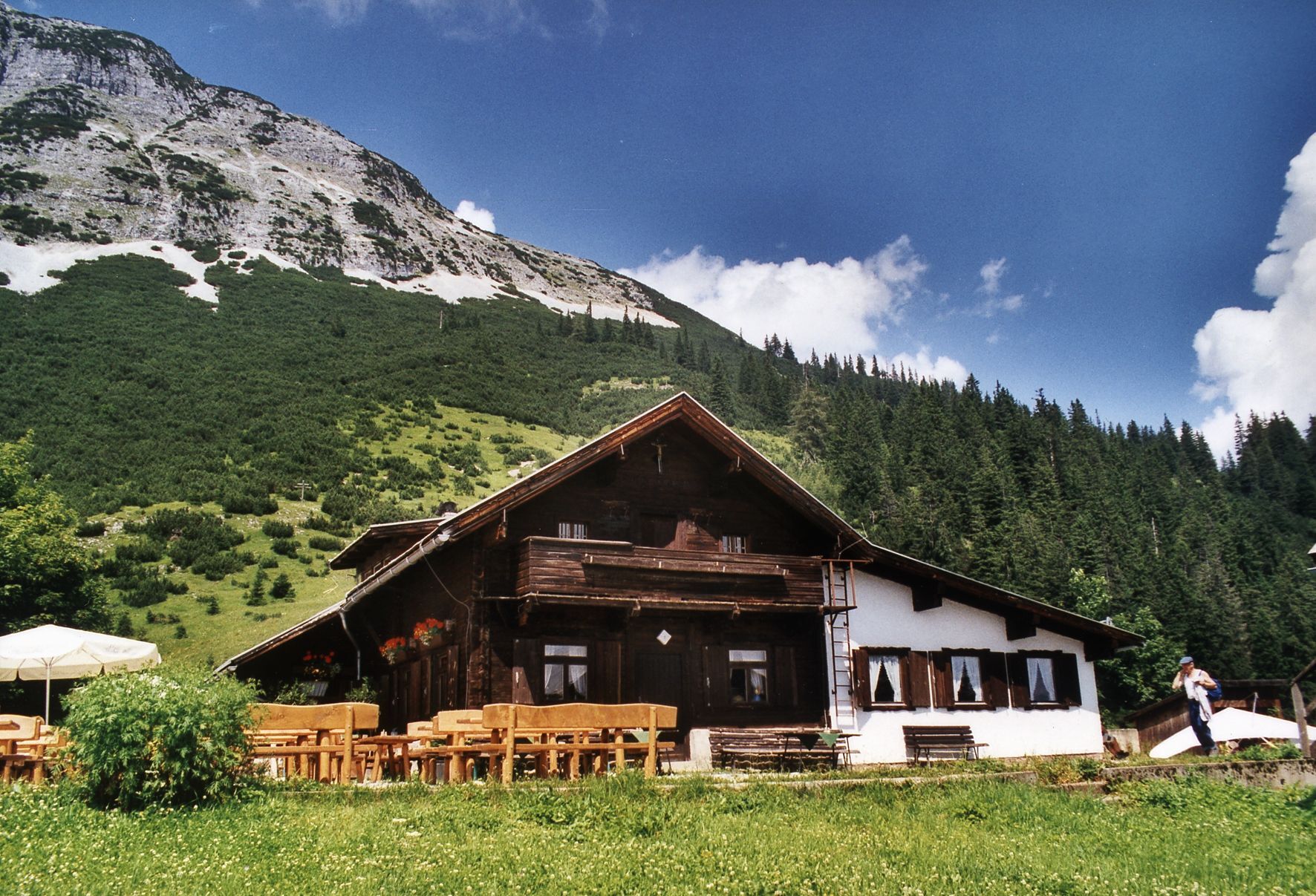
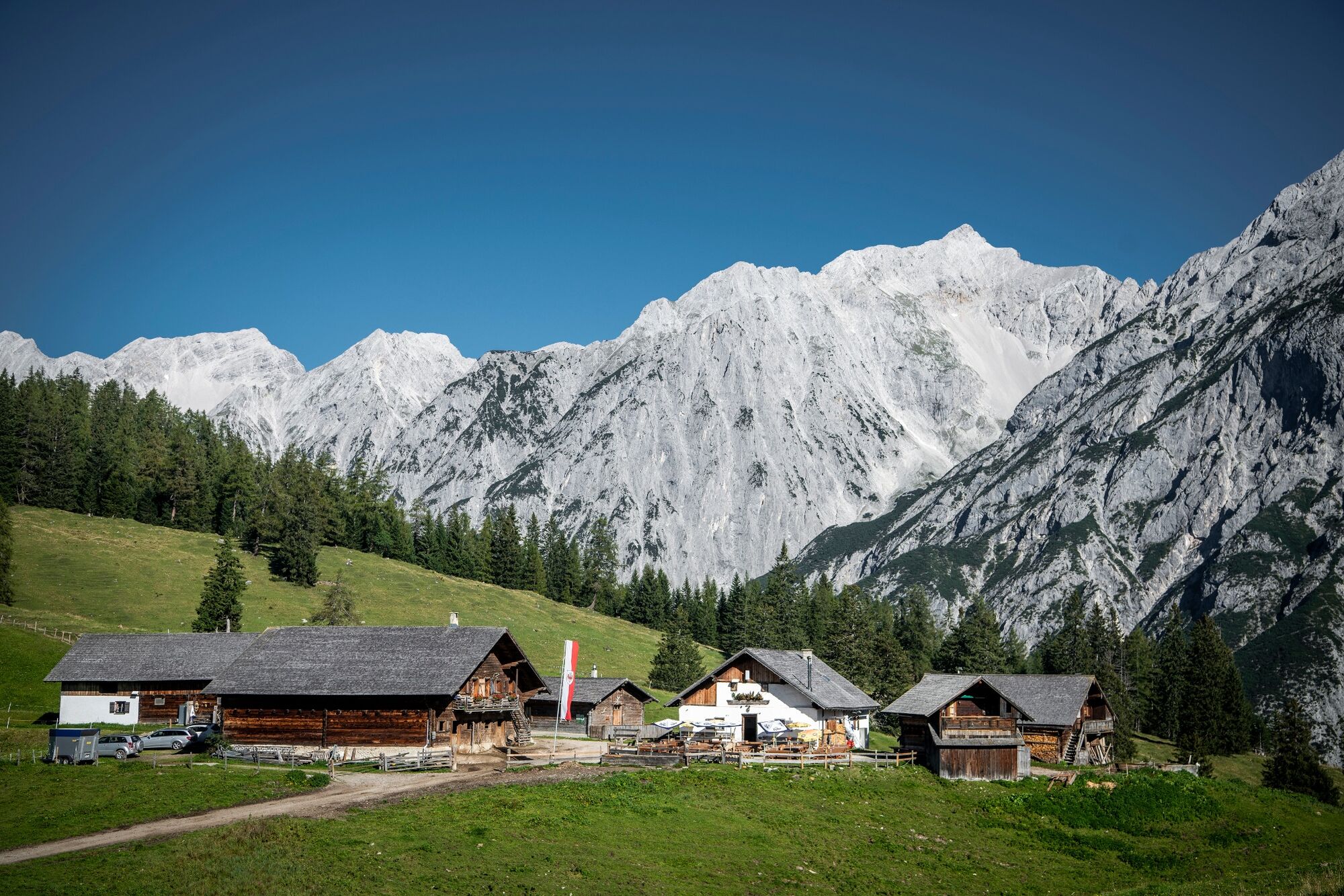
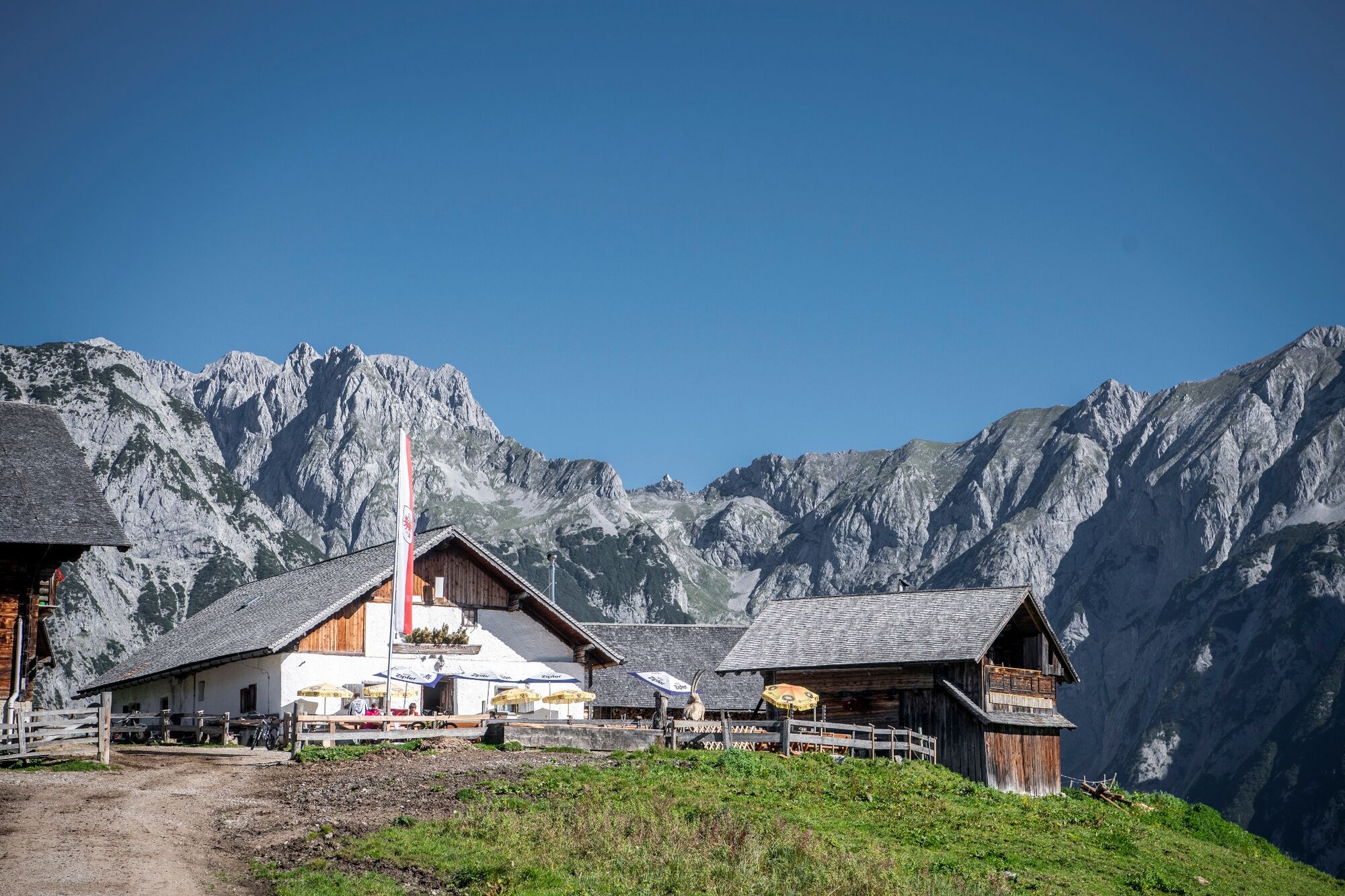
Take the toll road to Hinterhornalm (1,522 m/4,993 ft.; approx. 1½ h walk). The footpath to Walderalm mountain restaurant (1,511 m/4,957 ft.) is broad and virtually flat. Enjoy the beautiful view of the Karwendel Mountains; look south and see the Tux Alps and Zill Valley Alps bathed in sunlight.
- Highest point
- 1,625 m
- Endpoint
-
Gnadenwald
- Height profile
-

- Tips
-
A lot of different flowers in springtime


- Author
-
The tour Panoramic views at the trail Hinterhornalm - Walderalm is used by outdooractive.com provided.
GPS Downloads


General info
Refreshment stop
A lot of view
Other tours in the regions
-
Ferienregion Hall - Wattens
1475
-
Gnadenwald
350


