Tour data
2.43km
762
- 1,015m
237hm
02:30h
- Brief description
-
hiking tour with view on canyoning
- Difficulty
-
medium
- Rating
-
- Starting point
-
At the tourist office of Ambach
- Route
-
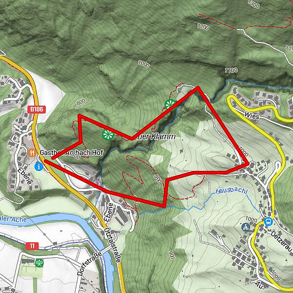
Ebene1.9 kmAmbach2.4 km
- Best season
-
JanFebMarAprMayJunJulAugSepOctNovDec
- Description
-
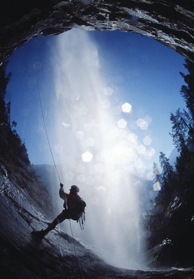
From the tourist office in Ambach (free parking) you walk to the small village Ebene. At the chapel you turn right and walk up through the forest. You stay next to the Canyon "Auer Kalmm" and you can see some people doing canyoning.
On the top you cross a wooden bridge and walkk down on the other side of the Canyon. - Highest point
- 1,015 m
- Alternatives
-
You can walk back the same way
You can walk through the village Oetzer Au on the top and from there directly back to Oetz. We reccommend to park in Oetz and go to Ambach with a bus! - Rest/Retreat
-
Gasthof Ambachhof
- Ticket material
-
Tourist Office Oetz
Tourist Office Ambach - Directions
-
From the tourist office of Ambach you walk to "Ebene" and tehre at the chapel starts the trail.
- Parking
-
At the tourist office of Ambach
GPS Downloads


Trail conditions
Asphalt
Gravel
Meadow
Forest
Rock
Exposed
Other tours in the regions
-
Outdoorregion Imst
1228
-
Sautens
335