


- Brief description
-
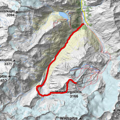
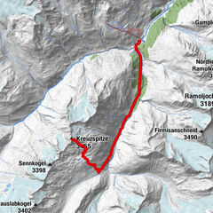
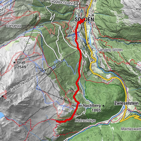
SÖLDEN -> GAISLACHALM -> SÖLDEN
- Difficulty
-
medium
- Rating
-
- Starting point
-
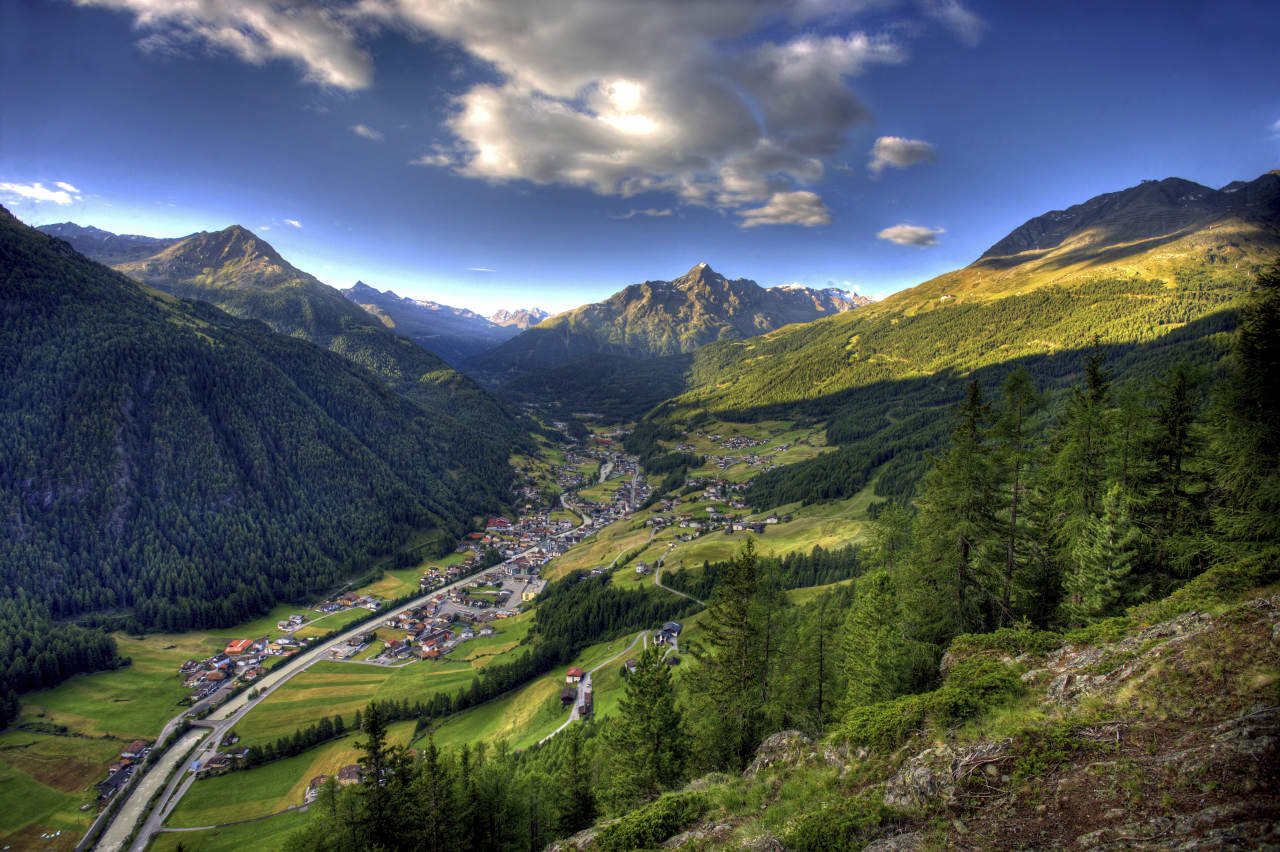
Sölden
- Route
-
Mariä Heimsuchung0.0 kmSölden (1,368 m)0.1 kmSee0.2 kmWald1.1 kmGaislachalm4.7 kmGasthaus Silbertal4.9 kmGaislachalm5.0 km
- Best season
-
JanFebMarAprMayJunJulAugSepOctNovDec
- Description
-
You can start your hike comfortably with the Zentrum Shuttle in Sölden or via the hiking trail past the church to the hamlet of Innerwald.
At the small chapel in the Innerwald, a small path leads along the mountain meadows towards Stiegele. From the Stiegele, you can then take the wide forest road in the direction of Gaislach Alm.
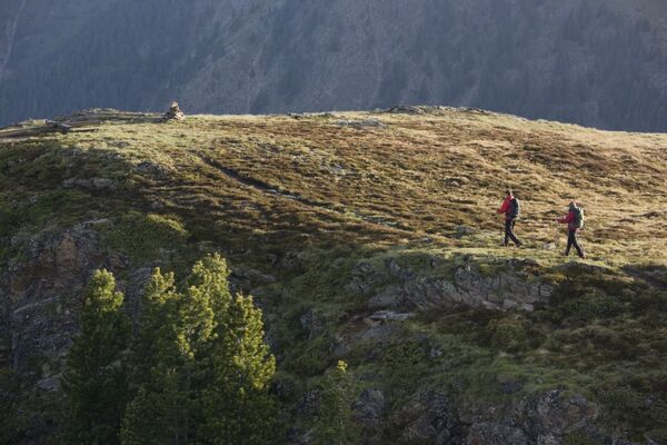
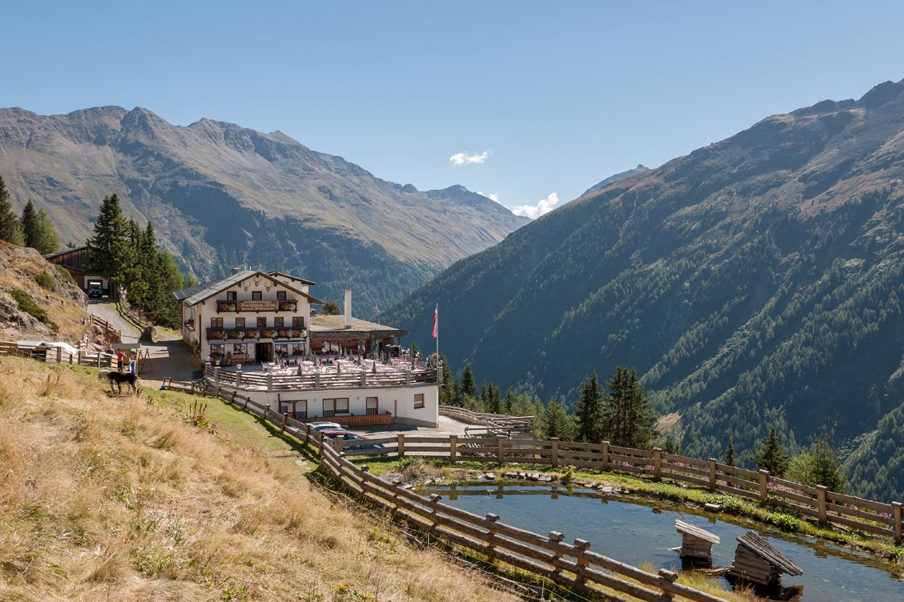
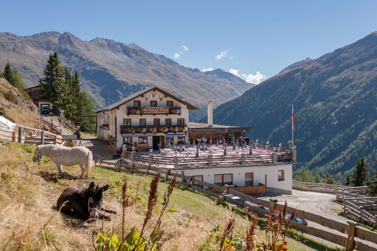
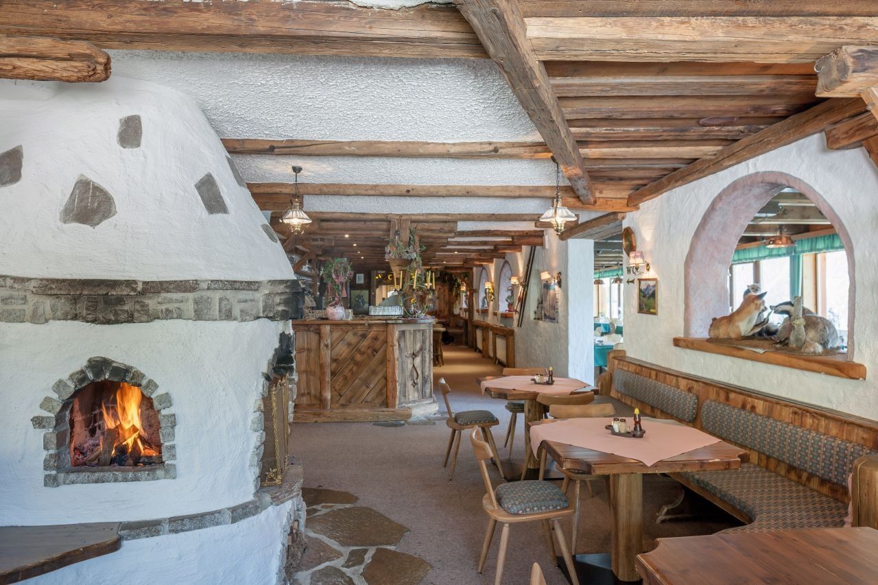
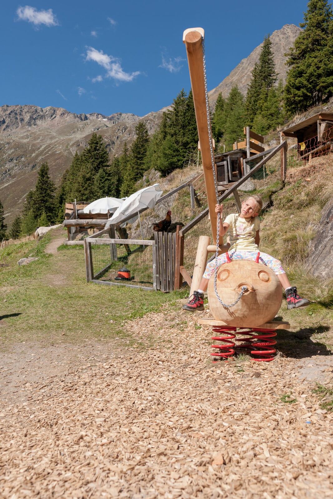
The hike to the Alpengasthof Gaislachalm is a cozy hike suitable for the whole family.
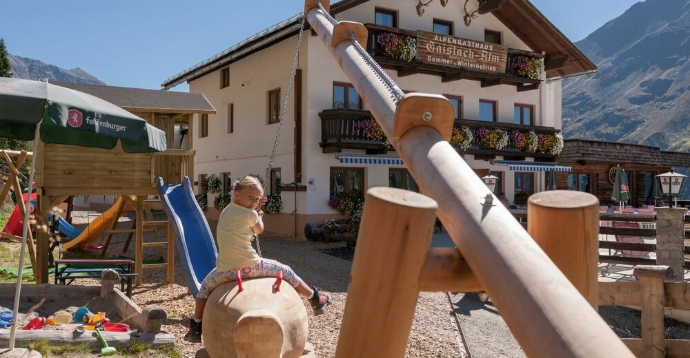
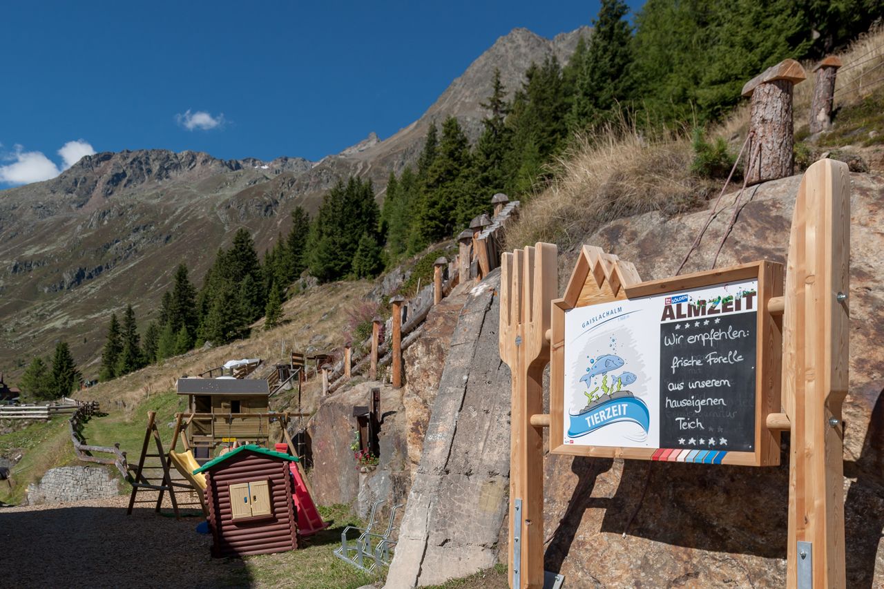
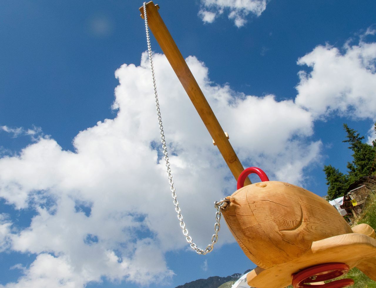
The Gaislchalm is a quaint Gasthof with a small petting zoo for children. The view from there to the Ventertal is breathtaking.
- Directions
-
Option 1: Start your hike comfortably from Sölden with the Zentrum Shuttle or via the hiking trail past the church to the hamlet of Innerwald. At the small chapel in the Innerwald, a small path leads along the mountain meadows towards Stiegele. From the Stiegele, you can then take the wide forest road in the direction of Gaislach Alm.
Option 2: You can take the Gaislachkogelbahn to the middle station, from there keep left and hike to the Gaislachalm.
The hike to the Alpengasthof Gaislachalm is a cozy hike suitable for the whole family.
The Gaislchalm is a quaint Gasthof with a small petting zoo for children. The view from there of the Ventertal is breathtaking.
- Highest point
- 1,991 m
- Endpoint
-
Gaislachalm
- Height profile
-

- Equipment
-
Appropriate equipment such as breathable suitable outdoor clothes for the weather, ankle-high walking boots,wind-, rain- & sun protection, hat, possibly gloves, is for all hikes and tours necessary. Please bring a first-aidbox, a mobile phone, a walking map and if there is no hut on the way a snack and enough to drink.
- Safety instructions
-
Easy hike; suitable for beginners and walkers.Please pay attention to the current weather report: www.oetztal.com/de/sommer.html
- Tips
-
The center shuttle is also open in summer, so the first meters in altitude can be comfortably overcome.
- Additional information
- Arrival
-
The car drive to the Ötztal valley. Situated in Tirol, the Ötztal valley set off in southerly direction and is thelongest side valley in the Eastern Alps. The journey with the car leads you through the Inntal valley to theentrance of the valley and further on through the valley. Among the toll motorways you can also use the countryroads. A route planner will show you the easiest and most convenient way: https://www.google.at/maps
- Public transportation
-
Travel safe and comfortable with the train to the Ötztal Bahnhof train station. Last stop and exit point is thetrain station Ötztal Bahnhof. Afterwards you can travel smoothly and quick with the public transport or our localtaxi companies through the valley to your desired destination. Please find the current bus timetable here:http://fahrplan.vvt.at
- Parking
-
The following parking facilities are available in Sölden:
- Parking lot
- parking lot Stiegele
- stair parking
- Giggijochbahn + underground garage
- Gaislachkoglbahn + underground garage
- Parking Hochsölden
- parking garage Hochsölden 1. parking lot
All parking is free during the day.
Parking for several days (eg hike tour):
- Parkticket either online or directly at the cash desk of the Gaislachkoglbahn

- Author
-
The tour Gaislachalm is used by outdooractive.com provided.


General info
-
Meraner Land
1722
-
Ötztal
1103
-
Sölden
328