- Brief description
-
PANORAMARESTAURANT HOCHOETZ -> Bielefelder Hütte -> WETTERKREUZ
- Difficulty
-
medium
- Rating
-
- Starting point
-
Panoramarestaurant Hochoetz
- Route
-
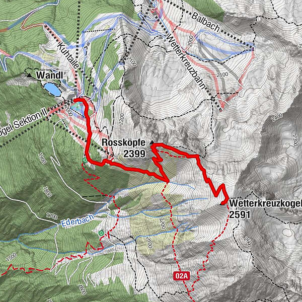
Panorama-RestaurantAcherkogelbahn Bergstation0.0 kmAcherkogel Sektion II0.0 kmNeue Bielefelder Hütte0.5 kmRossköpfe (2,399 m)1.9 kmWetterkreuzkogel (2,591 m)3.0 km
- Best season
-
JanFebMarAprMayJunJulAugSepOctNovDec
- Description
-
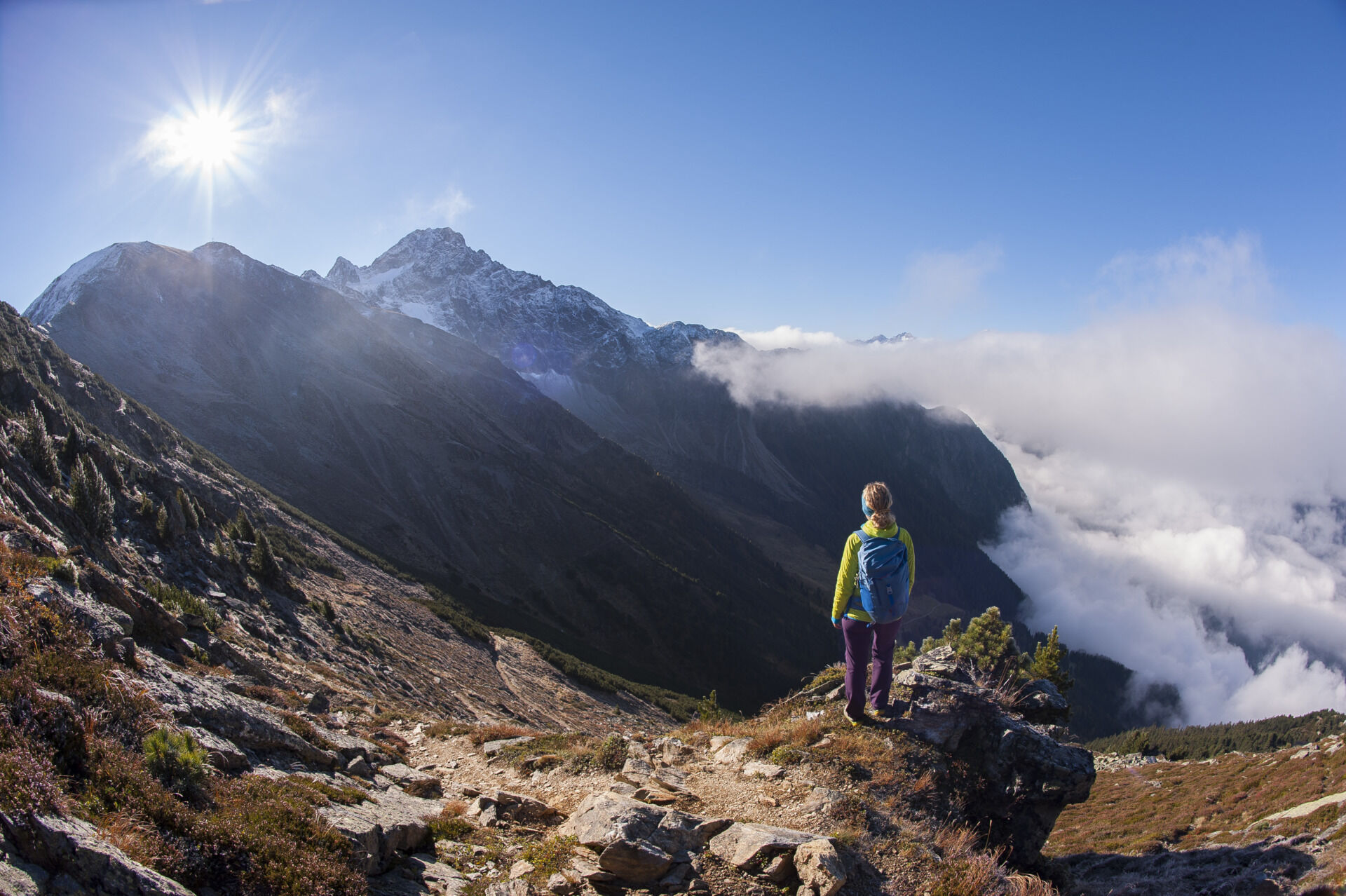
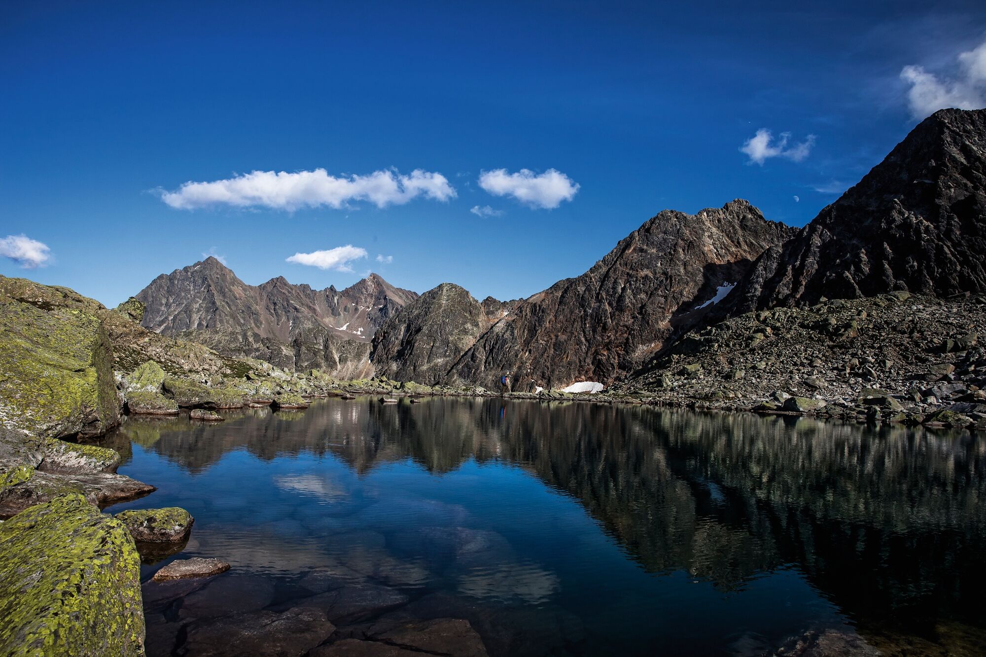
From top station of Acherkogel Mountain Gondola further on to Bielefelder Hütte (2.150 m). A perfectly passable hiking trail leads to Wetterkreuz (2.591 m). To walk back you have many different possibilities:
1) the same way
2) follow the miners trail to "Wörgetal" and Balbach Alm. Duration of the whole round tour 6 hours
3) hike down to the destroyed Old Bielefelder Hütte. This path is narrow and steep and requests alpine experience. From the old hut you can walk to Acherberg Alm and back up to the Panorama Restaurant.
- Directions
-
From top station of Acherkogel Mountain Gondola further on to Bielefelder Hütte (2.150 m). A perfectly passable hiking trail leads to Wetterkreuz (2.591 m). To walk back you have many different possibilities:
1) the same way
2) follow the miners trail to "Wörgetal" and Balbach Alm. Duration of the whole round tour 6 hours
3) hike down to the destroyed Old Bielefelder Hütte. This path is narrow and steep and requests alpine experience. From the old hut you can walk to Acherberg Alm and back up to the Panorama Restaurant.
- Highest point
- 2,578 m
- Endpoint
-
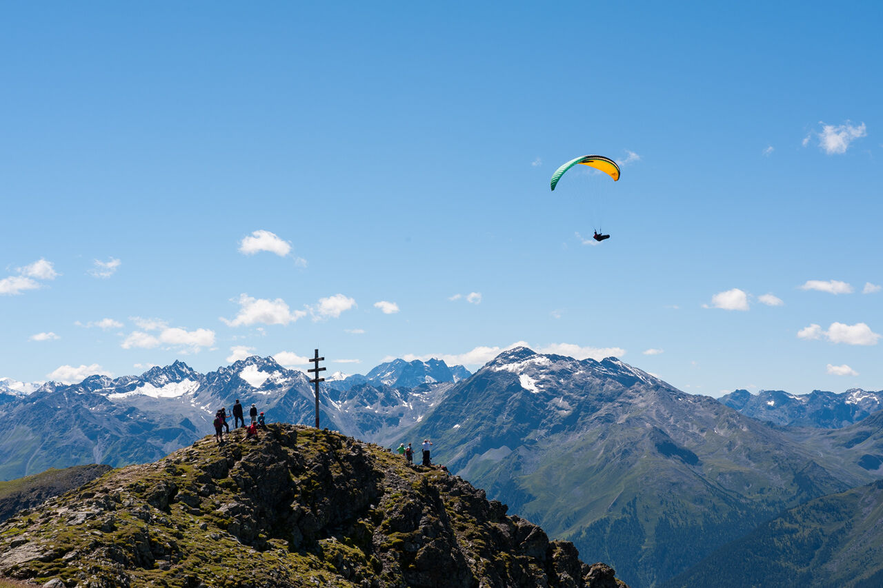
Wetterkreuz peak
- Height profile
-

- Equipment
-
Appropriate equipment such as breathable suitable outdoor clothes for the weather, ankle-high walking boots, wind-, rain- & sun protection, hat, possibly gloves, is for all hikes and tours necessary. Please bring a first-aid box, a mobile phone, a walking map and if there is no hut on the way a snack and enough to drink.
- Safety instructions
-
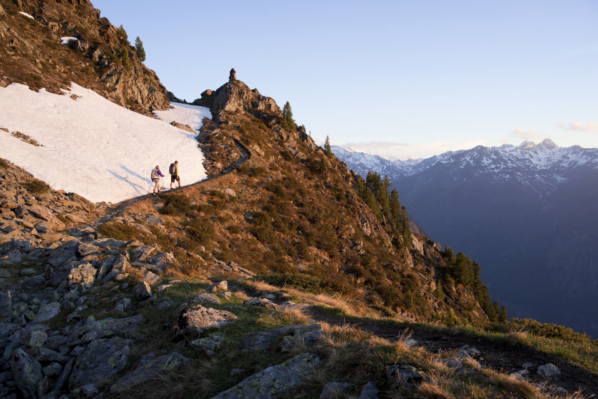
Moderate mountain trail; for sure-footed and experienced hikers. Good physical condition, mountain experience & mountain equipment (see notice equipment) necessary. Please pay attention to the current weather report: www.oetztal.com
- Tips
-
If you are not free from giddiness, you can cross the flank below the Rosskopf peak. So you can avoid the short ridge walk.
- Additional information
- Directions
-
The car drive to the Ötztal valley. Situated in Tirol, the Ötztal valley set off in southerly direction and is the longest side valley in the Eastern Alps. The journey with the car leads you through the Inntal valley to the entrance of the valley and further on through the valley. Among the toll motorways you can also use the country roads. A route planner will show you the easiest and most convenient way: www.google.at/maps
- Public transportation
- Parking
-
The following parking facilities are available:
- Parking Acherkogelbahn - free for guests of the gondola lift, camping prohibited
- Parking next to the river (at the end of Oetz on the right hand side) – free of charge, but limited parking; camping prohibited
- Parking Oetz town center- parking fee
- Parking at night during several days' tours: Parking Oetz town center, the ticket is available at the tourist office Oetz.
- Parking at the Ochsengartencable car station. free parking, camping prohibited
- Author
-
The tour Wetterkreuz peak via Hochoetz is used by outdooractive.com provided.


General info
-
Mieminger Plateau & Inntal
1686
-
Oetz
339