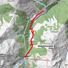
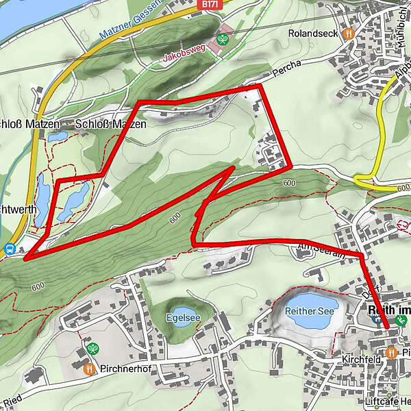
Tour data
3.45km
519
- 642m
82hm
02:00h
- Difficulty
-
easy
- Rating
-
- Starting point
-
Ortsmitte
- Route
-
Reith im Alpbachtal (638 m)Dekanatspfarrkirche St. Petrus0.1 kmSonnbichl0.1 kmBrixlegg1.5 kmPercha (568 m)1.6 km
- Highest point
- 642 m
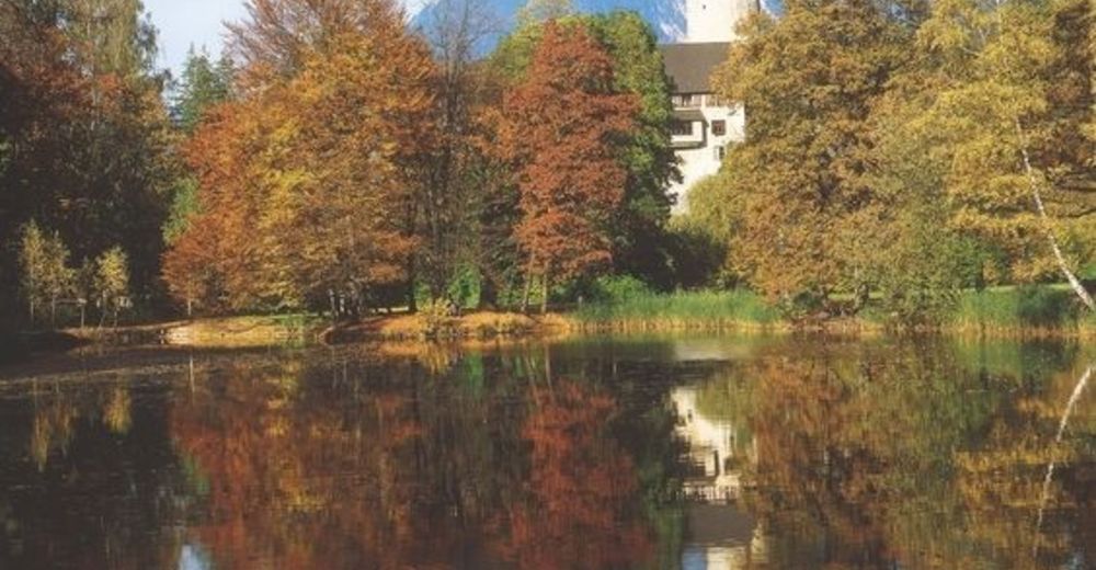
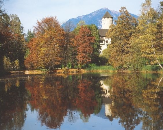
- Rest/Retreat
-
Gut Matzen, Café Gager, diverse Einkehrmöglichkeiten im Ortszentrum von Reith
- Ticket material
-
In allen Gästeinformationsbüro der Ferienregion Alpbachtal Seenland erhältlich
GPS Downloads


Trail conditions
Asphalt
Gravel
Meadow
Forest
Rock
Exposed
Other tours in the regions
-
Alpbachtal
1502
-
Reith im Alpbachtal
517