© Hohe Tauern - die Nationalpark-Region in Kärnten - Eva Oberrainer


© Hohe Tauern - die Nationalpark-Region in Kärnten - Eva Oberrainer

© Hohe Tauern - die Nationalpark-Region in Kärnten - Eva Oberrainer

© Hohe Tauern - die Nationalpark-Region in Kärnten - Eva Oberrainer

© Hohe Tauern - die Nationalpark-Region in Kärnten - Eva Oberrainer

- Brief description
-
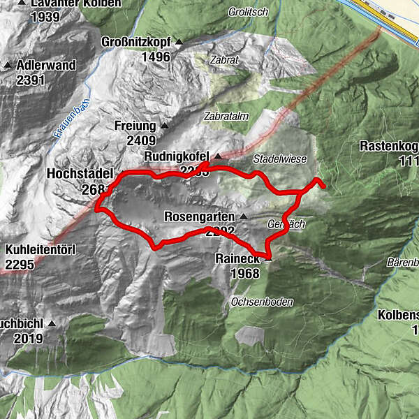
Panorama-Traumtour auf den König des Oberdrautales.
- Difficulty
-
medium
- Rating
-
- Route
-
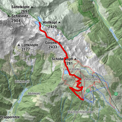
Raineck (1,968 m)1.4 kmLeitentörl3.7 kmSchneeklammkopf (2,642 m)4.5 kmHochstadel (2,681 m)4.6 kmHochstadelhaus7.8 km
- Best season
-
JanFebMarAprMayJunJulAugSepOctNovDec
- Highest point
- 2,628 m

- Author
-
The tour Gipfelwanderung zum Hochstadel is used by outdooractive.com provided.
GPS Downloads


General info
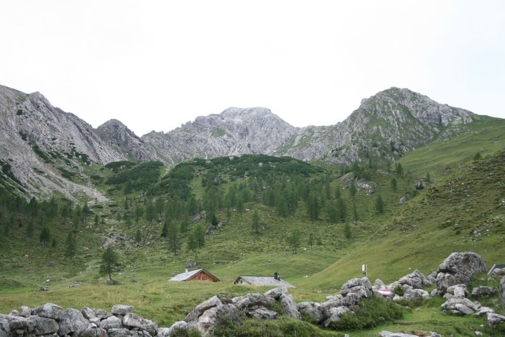
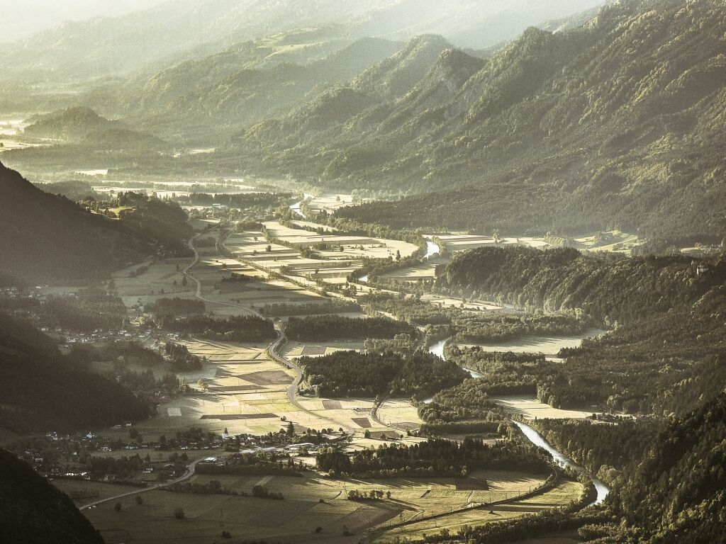
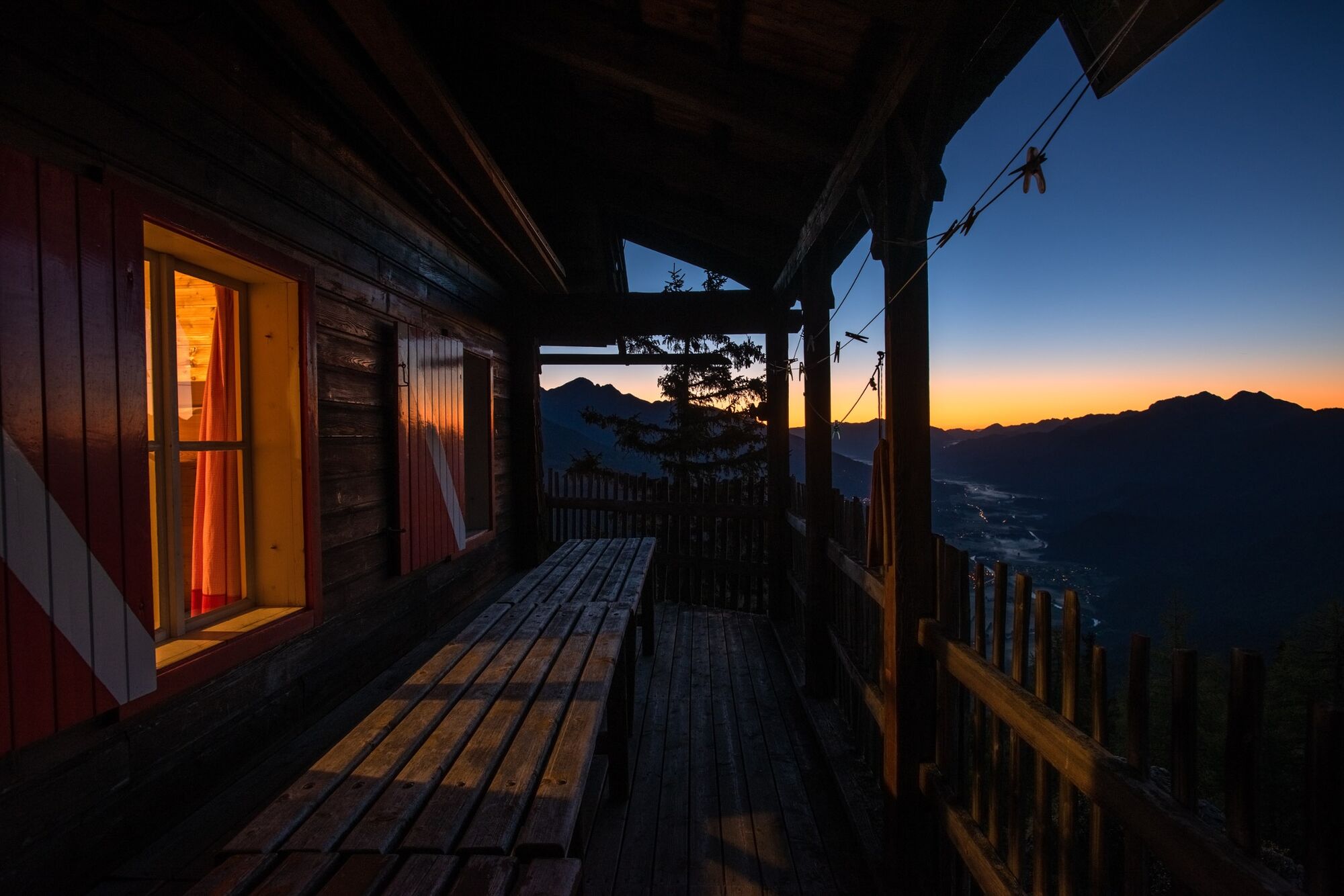
A lot of view
Other tours in the regions