

Tour data
3.73km
591
- 719m
193hm
02:30h
- Brief description
-
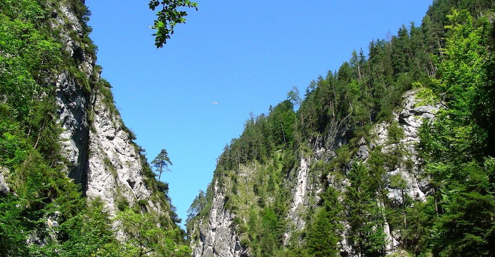
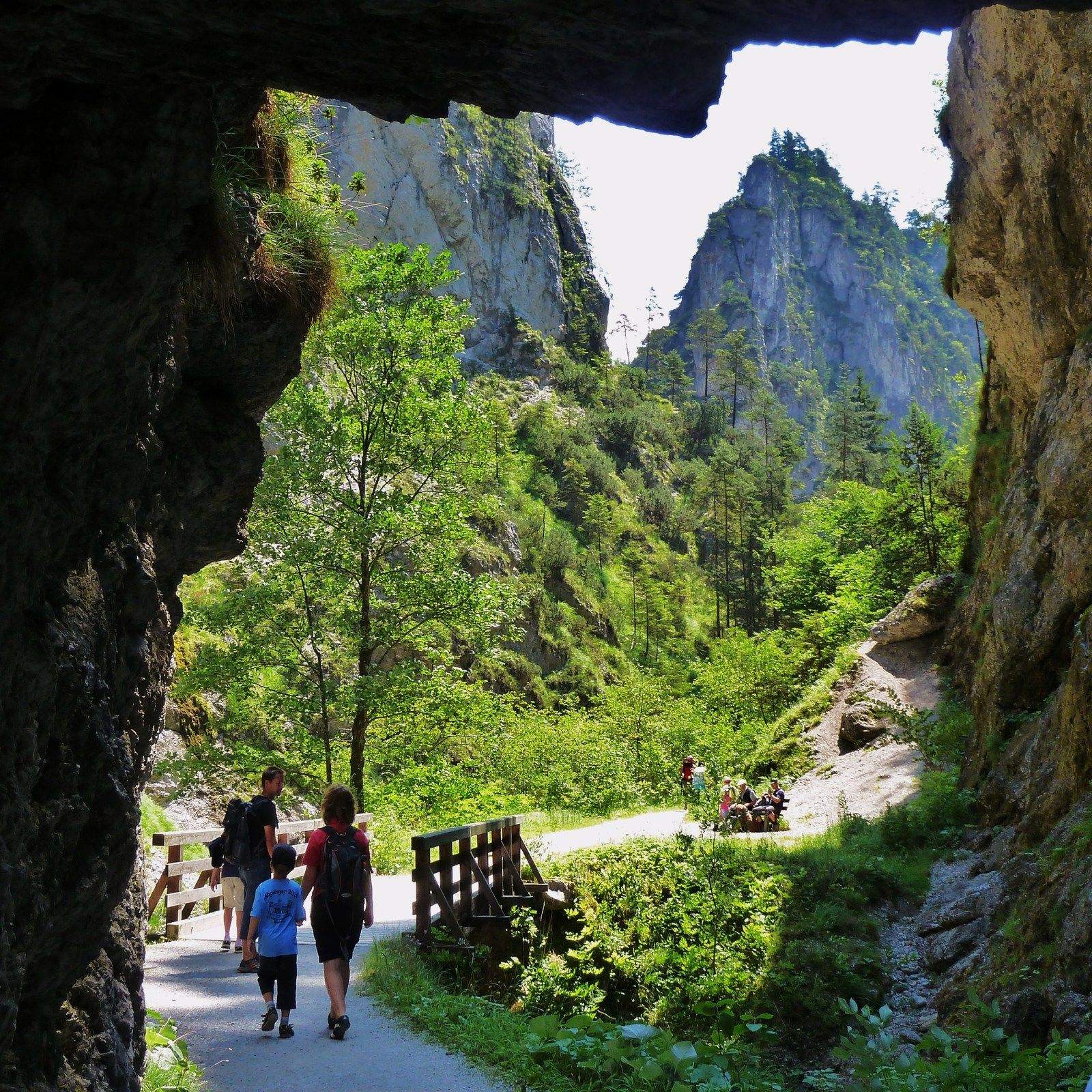
Leichte Wanderung für jedes Alter
- Difficulty
-
easy
- Rating
-
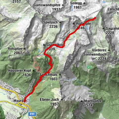
- Starting point
-
Mühltal - Wildschönau
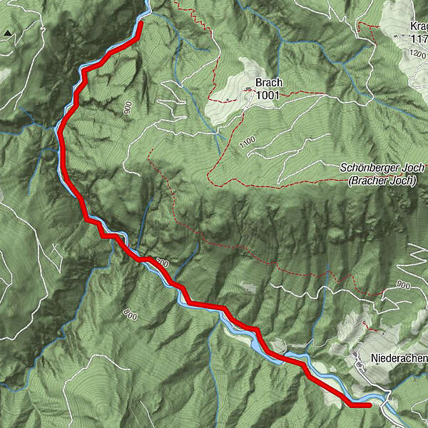
- Route
-
Gasthaus Kundler Klamm3.6 km
- Best season
-
JanFebMarAprMayJunJulAugSepOctNovDec
- Highest point
- 719 m
- Endpoint
-
Kundl im Inntal
- Rest/Retreat
-
Jausenstation Waidmannsruh, Gasthof Klammrast, Gasthof Kundler Klamm.
- Videos


GPS Downloads


Trail conditions
Asphalt
Gravel
Meadow
Forest
Rock
Exposed
Other tours in the regions
-
Wildschönau
1821
-
Kundl
470