


- Brief description
-
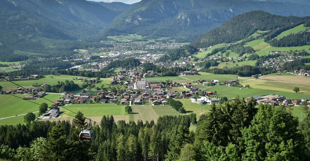
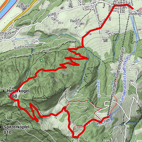
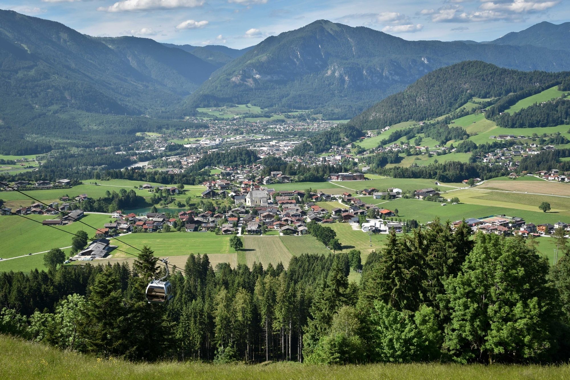
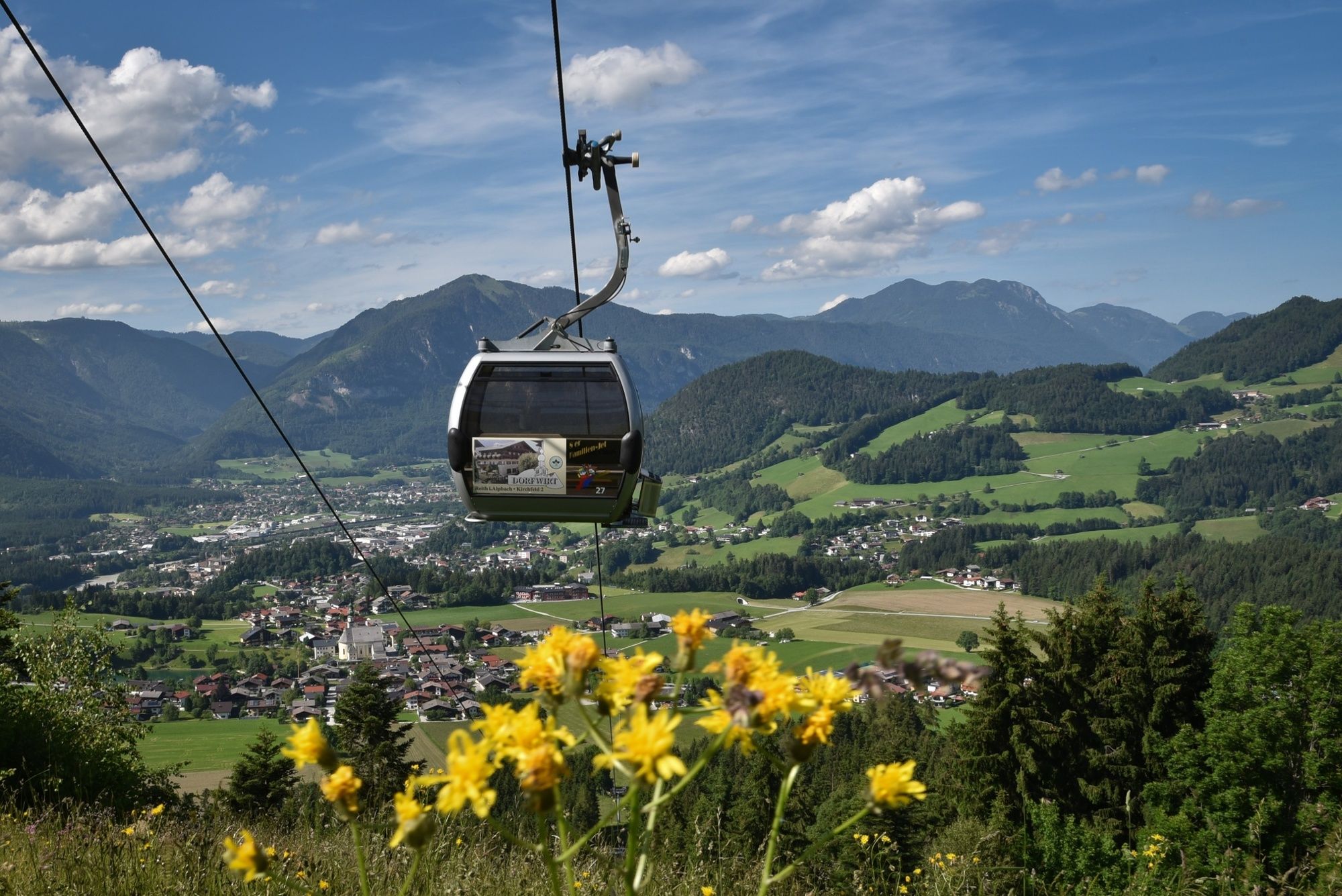
The panorama path leads from the Reitherkogelbahn top station down to Reith im Alpbachtal. Splendid views over four valleys - the Alpbach, Ziller, Inn and Achen Valleys.
- Difficulty
-
easy
- Rating
-
- Starting point
-
Reitherkogelbahn top station
- Route
-
Aussichtspunkt Hinterkogel1.9 kmHub Kapelle6.7 kmReith im Alpbachtal (638 m)7.9 km
- Best season
-
JanFebMarAprMayJunJulAugSepOctNovDec
- Description
-
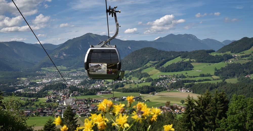
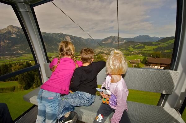
Take the 8-seater Reitherkogelbahn gondola (closed on Wednesdays) to the top. Walk along the path passing the Nisslhof to the Fürsten farm. Continue to the right direction Hinterkogel. The panorama path down to Reith im Alpbachtal starts here. Suitable for families. Beautiful views.
- Directions
-
Take the 8-seater Reitherkogelbahn gondola (closed on Wednesdays) to the top. Walk along the path passing the Nisslhof to the Fürsten farm. Continue to the right direction Hinterkogel. The panorama path down to Reith im Alpbachtal starts here.
- Highest point
- 1,218 m
- Endpoint
-
Reitherkogelbahn bottom station
- Height profile
-

- Equipment
-
Sturdy shoes
- Tips
-
Use of the Reitherkogelbahn gondola lift is free of charge with the Alpbachtal Card.
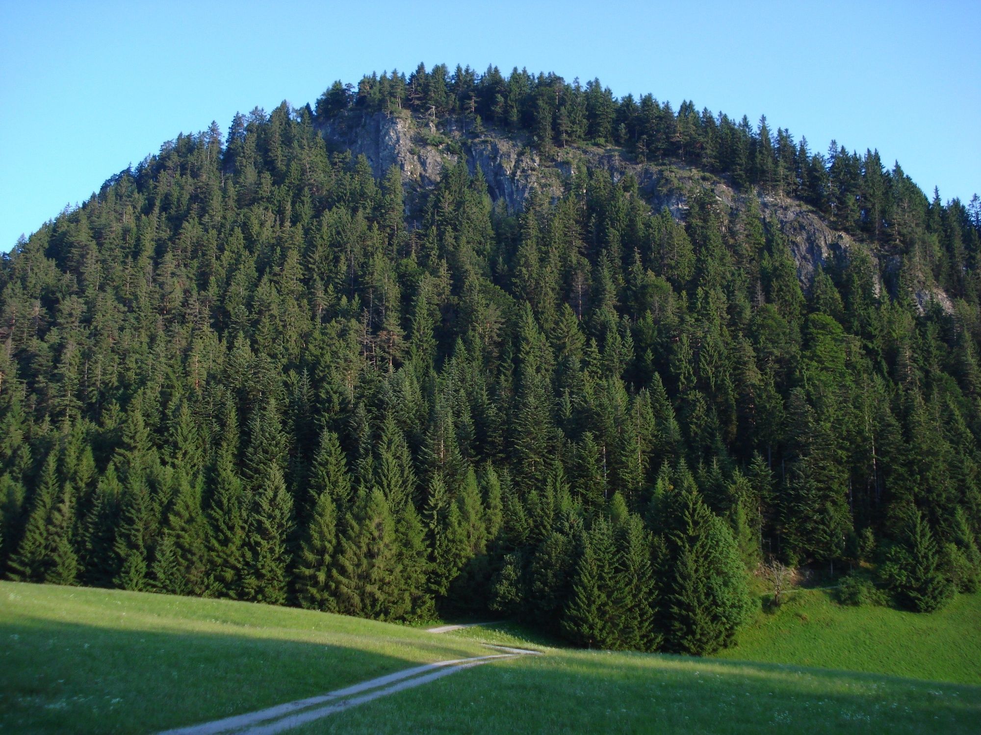
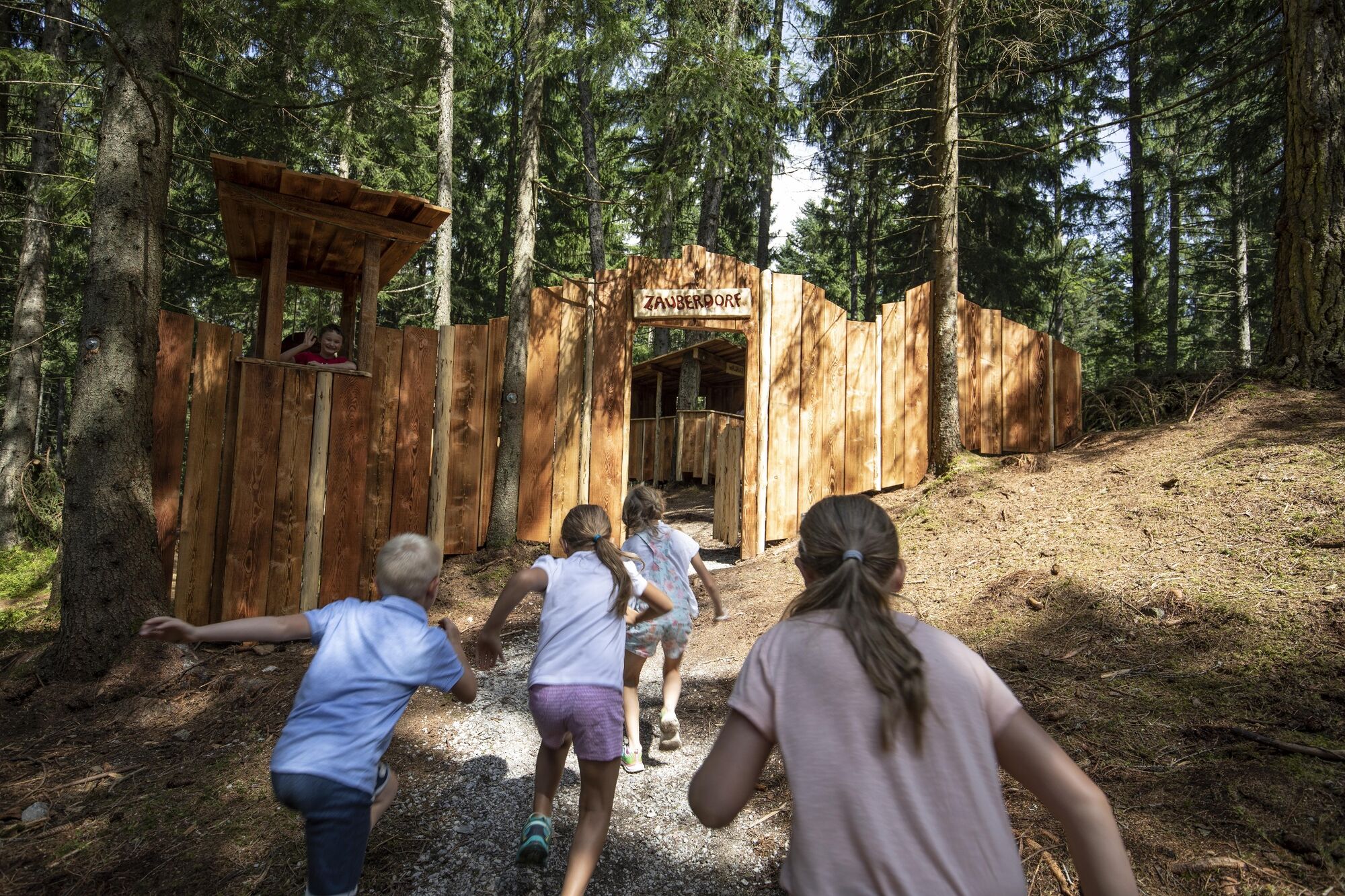
Great fun for children - "Zauberwald"
- Directions
-
A12, motorway exit Kramsach/Brixlegg, towards Brixlegg, Alpbachtal, through the tunnel, turn right after approx. 500 m to the Reitherkogelbahn
- Public transportation
- Parking
-
Reitherkogelbahn car park


- Author
-
The tour Reith Kogel panorama path is used by outdooractive.com provided.


General info
-
Alpbachtal
1502
-
Bruck am Ziller
538


