


- Brief description
-
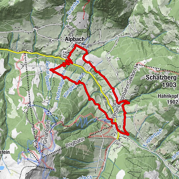
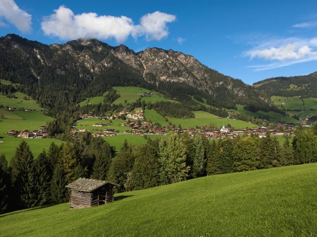
Looped trial - on the sunny side of the valley - to Inneralpach and back to the starting Point via "Neader". One can also make use of the free bus Service from from Inneralpbach to Alpbach!
- Difficulty
-
easy
- Rating
-
- Starting point
-
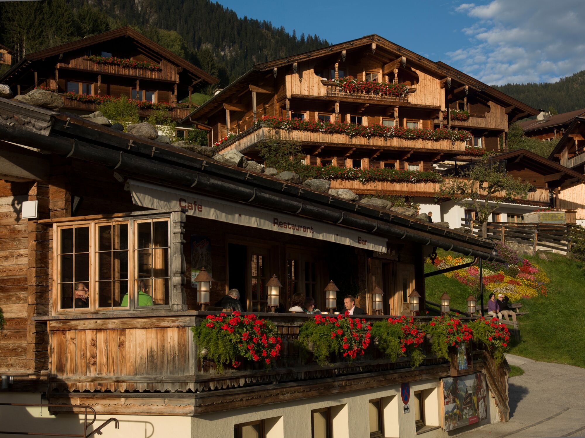
Alpbach
- Route
-
Alpbach (975 m)Heiligenkasten0.0 kmPfarrkirche Alpbach0.0 kmInneralpbach4.3 kmSchulmeisterkapelle4.4 kmHeiligenkasten9.2 kmPfarrkirche Alpbach9.2 kmAlpbach (975 m)9.2 km
- Best season
-
JanFebMarAprMayJunJulAugSepOctNovDec
- Description
-
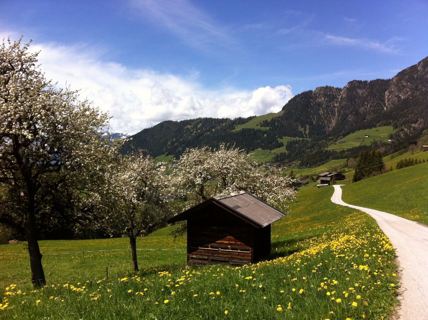
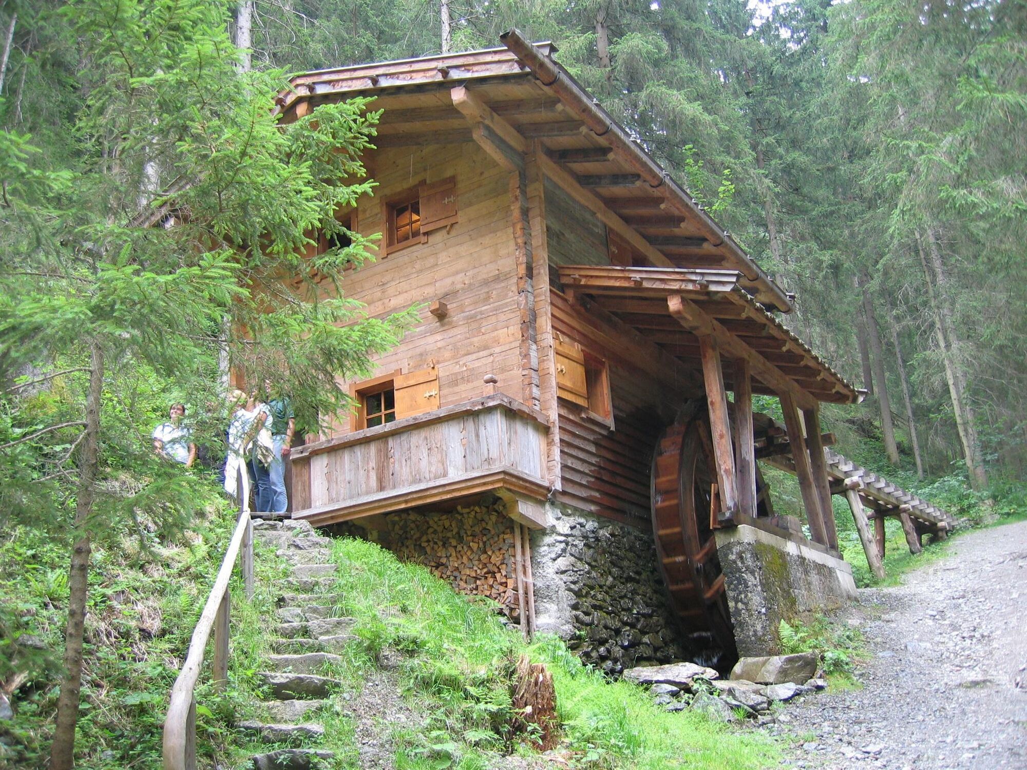
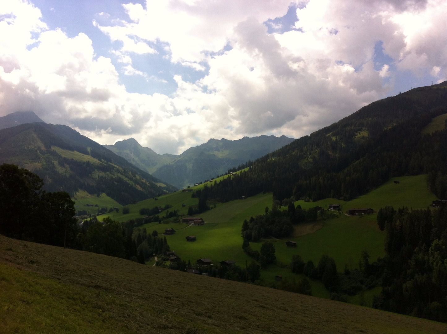
Starting at the church walk past the Hotel Alpbacherhof, cross the bridge and take the road to the right leading downhill to the Mühlbach bridge. Cross the bridge and turn right onto the A4 (the entrance to the Mühlbach Path – Path of Contemplation is to the left) leading past Stoffen. Take the A7 (Mittlerer Höhenweg) passing Stettau, the Brechelstube and the flour mill.
Follow the signs for Inneralpbach. The free Regiobus service runs from Inneralpbach to Alpbach!
Walk along the main road leading out of the valley and turn left after the fire brigade building. Continue along the A11 towards "Oberhaus". At „Oberhaus“ take the A9 downhill to the bridge and walk back up the valley (for approx. 200m). Take the road signposted "zum Sportplatz" and the A4 back to the starting point.
- Directions
-
Start at the church - walk past the Hotel Alpbacherhof - cross the bridge - take the road to the right leading downhill to the Mühlbach bridge - cross the bridge and turn right onto the A4 (the entrance to the Mühlbach Path – Path of Contemplation is to the left) leading past Stoffen - take the A7 (Mittlerer Höhenweg) - Stettau A7 - Rading - Inneralpbach Volksschule (primary school) - walk along the main road leading out of the valley (approx. 200m) - after the fire brigade building turn left - cross the stream - A11 Ausserache - Ausserkafner – to Dornegg – Klingler – Oberhaus – A9 – towards Kolberhof – continue downhill on the road up to the bridge – cross the bridge - turn left - towards the Recycling plant Gemeinde Alpbach – for approx. 100 m walk out the valley – turn right before the bridge – take the footpath towards Alpbach – Unterknolln – Alpbach.
- Highest point
- 1,093 m
- Endpoint
-
Alpbach
- Height profile
-

- Equipment
-
Sturdy shoes
- Tips
-
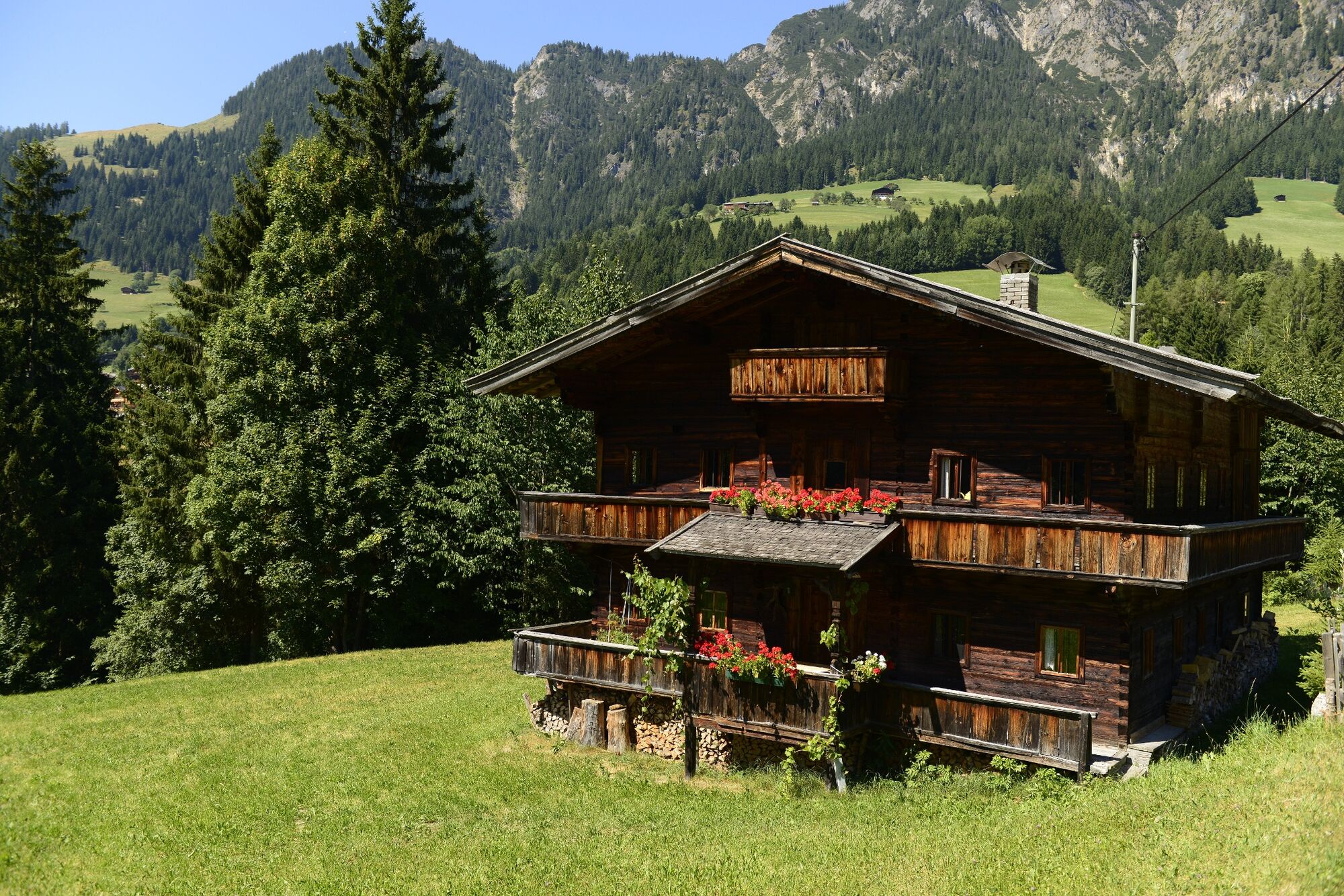
The Brechelstube and flour mill are interesting buildings.
- Directions
-
A12, motorway exit Kramsach/Brixlegg, towards Brixlegg, Alpbachtal to Alpbach
- Public transportation
- Parking
-
at the entrance to the village

- Author
-
The tour Mittlerer Höhenweg Alpbach is used by outdooractive.com provided.


-
Alpbachtal
1475
-
Alpbach
484


