
- Brief description
-
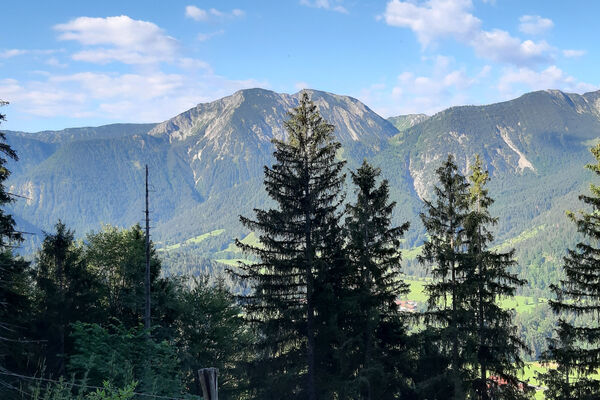
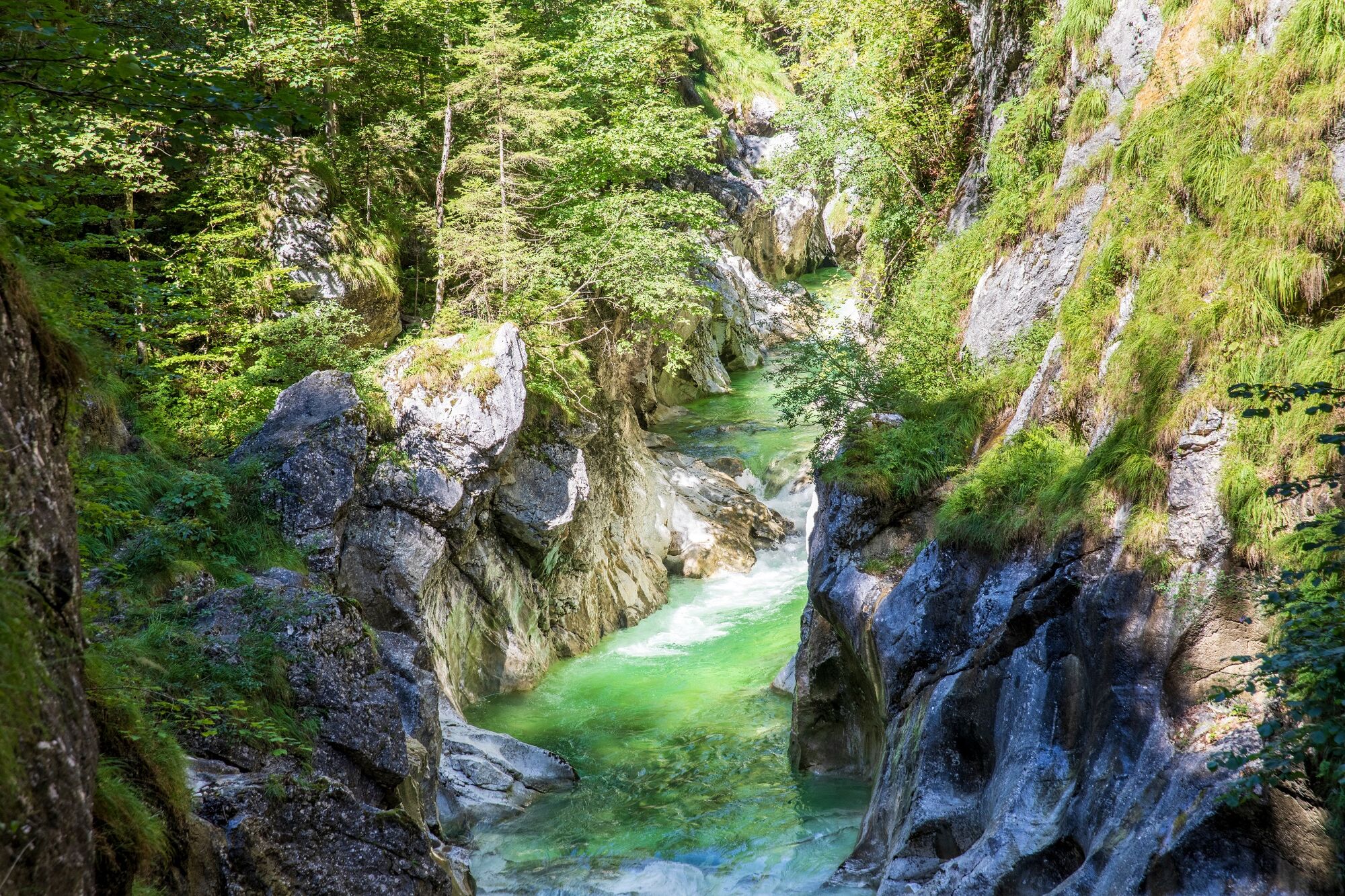
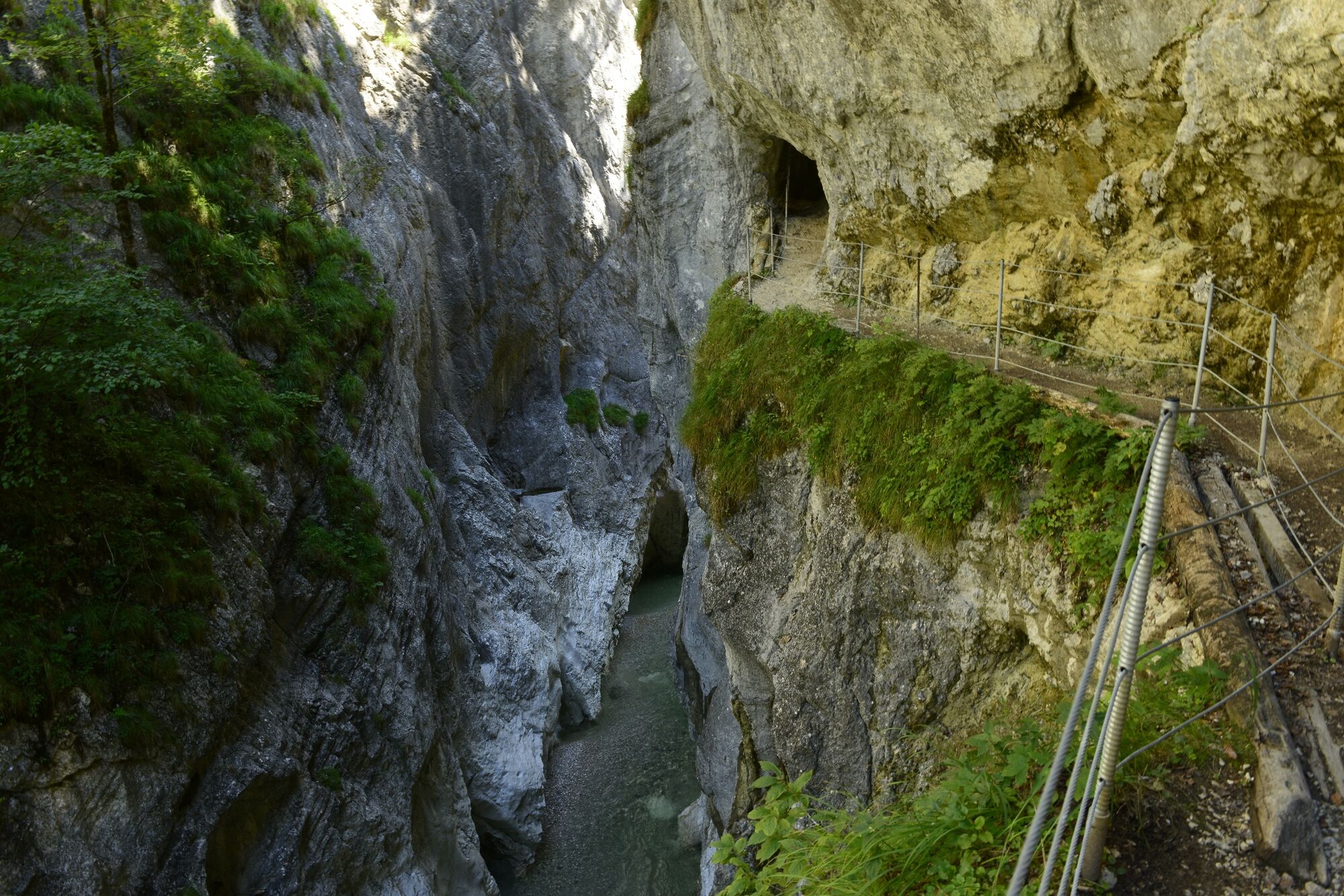
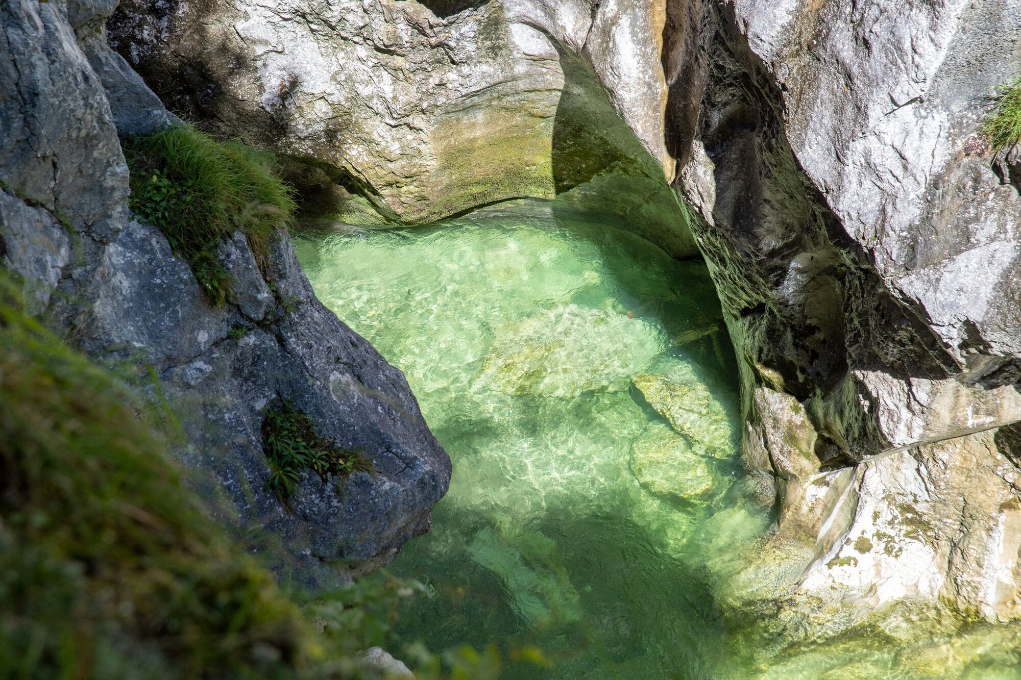
The gorge path takes you up and over a series of potholes formed by the action of the river eroding down through the bedrock.
- Difficulty
-
medium
- Rating
-
- Starting point
-
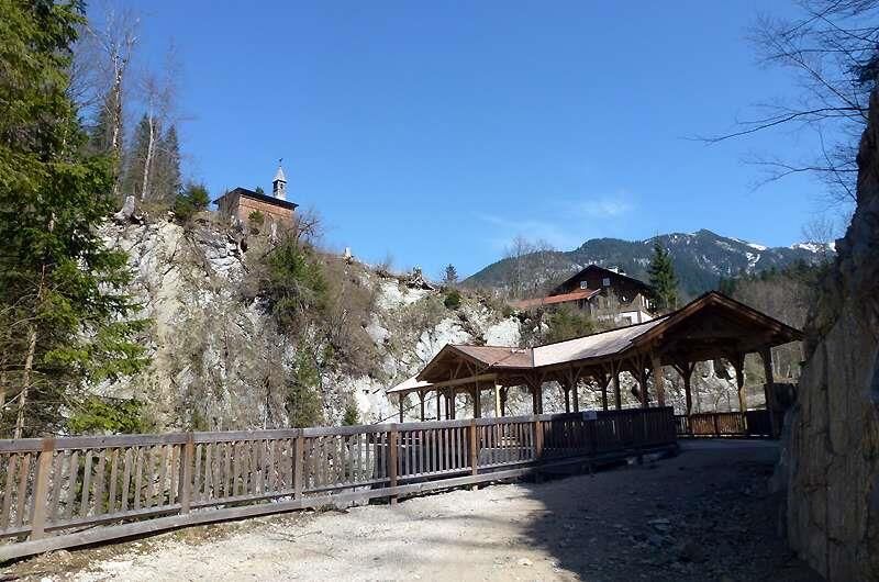
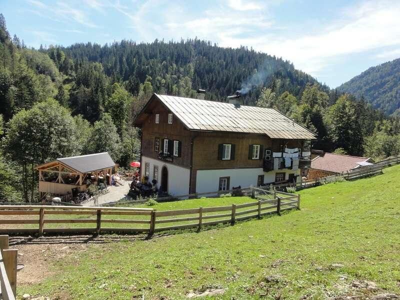
Brandenberg/Kaiserhaus
- Route
-
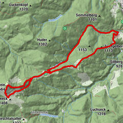
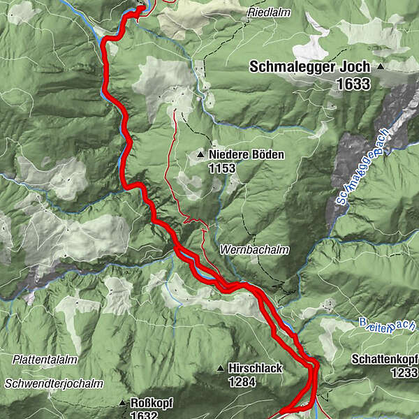
Erzherzog-Johann-Klause4.0 kmZollhütte (794 m)4.5 kmKaiserhaus11.4 km
- Best season
-
JanFebMarAprMayJunJulAugSepOctNovDec
- Description
-
Starting approx. 300m after the Kaiserhaus an almost level path leads to the gorge. The narrow gorge path with several tunnels and bridges follows the course of the impressive Brandenberg River upstream to the Trauersteg.
Towards the end of the gorge the landscape mellows and several beautiful spots lend themselves as ideal areas to spend some quality outdoor time in midst nature. Federal Forestry Office studies confirmed the Brandenberg Valley is a lepidopteran hotspot - the valley is home to 824 butterfly species. Several can been seen fluttering over the meadows and unimproved grasslands.
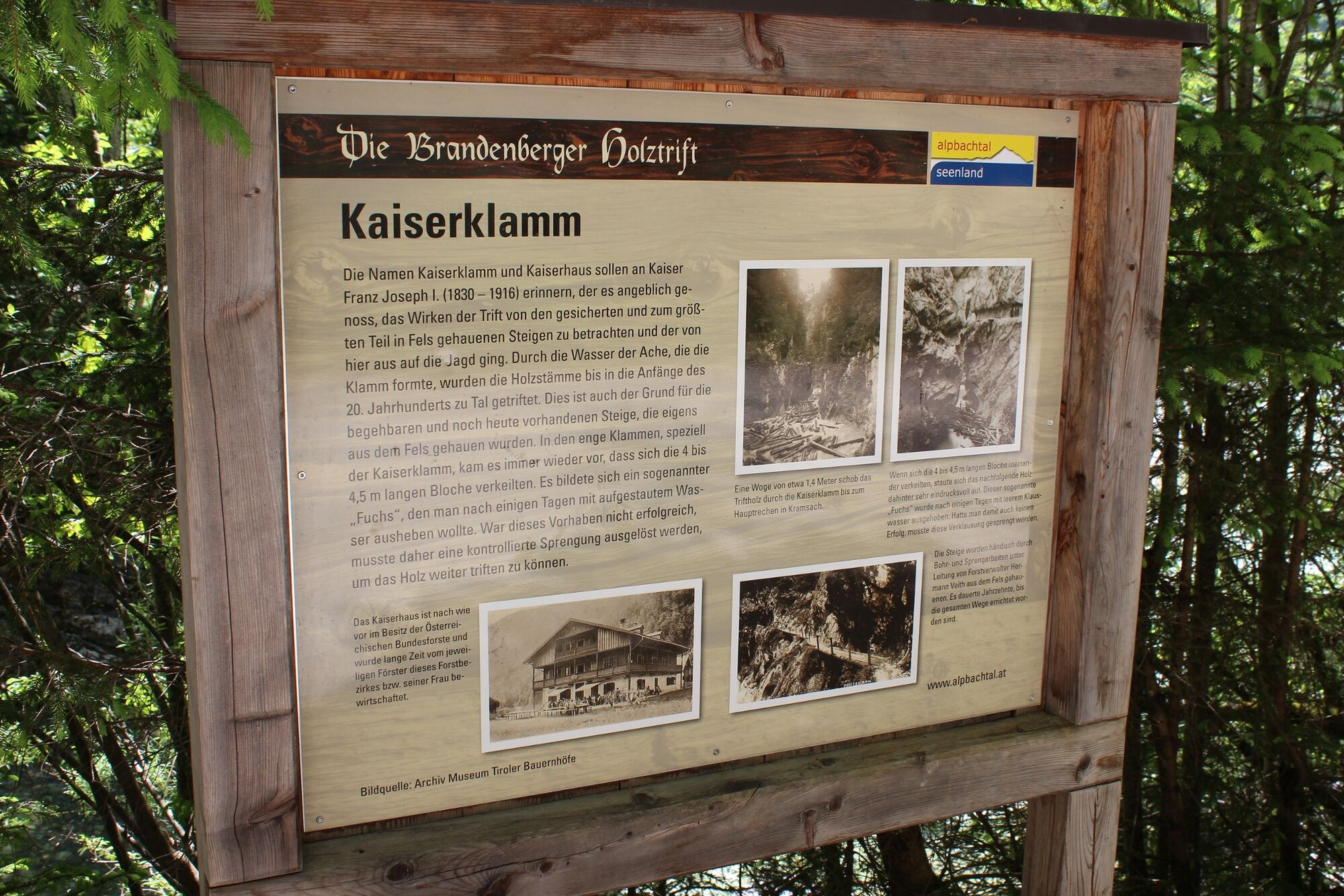
Cross the river at the next bridge and follow the forest track to the Erzherzog-Johann-Klause. In times past, the gorge was used for wood drifting and one can still see the impressive basin which was used to collect the logs.
Return via the forestry road or maybe you prefer a round trip tour back to the Kaiserhaus.
- Directions
-
Car park Kaiser Gorge - hike through gorge - upstream to the left of the stream - at the next bridge change sides and hike along the forest track to the Erzherzog-Johann-Klause - take the same route back or take the forest track up to shortly before the gorge - change sides and follow the forest track to the Kaiserhaus.
- Highest point
- 804 m
- Endpoint
-
Brandenberg/Kaiserhaus
- Height profile
-

- Equipment
-
Sturdy shoes and protective clothing
- Safety instructions
-
Sturdy shoes, sure-footedness and a head for heights are required. The gorges can also harbour dangers. We strongly recommend not to walk the gorges on days with heavy rainfall.
For a returnable fee harnesses can be hired at the following points: Sport OSSI in Kramsach and the Kaiserhaus in Brandenberg.
- Tips
-
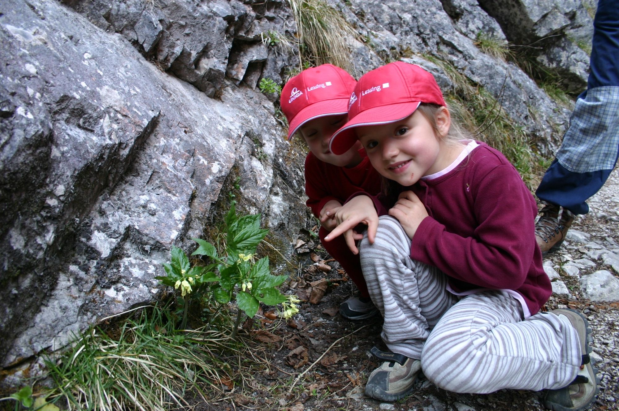
Young children should be supervised at all times!
- Directions
-
A12, motorway exit Kramsach, towards Kramsach, Sonnwendjochbergbahn, past the former chair lift and along the L4 to Pinegg. Take the turn to the left before the bridge and follow the signs for the Kaiserhaus.
- Public transportation
- Parking
-
Kaiserhaus
- Author
-
The tour Kaiser Gorge - Erzherhog Johann Klause is used by outdooractive.com provided.


General info
-
Alpbachtal
1501
-
Brandenberg
417