
- Brief description
-
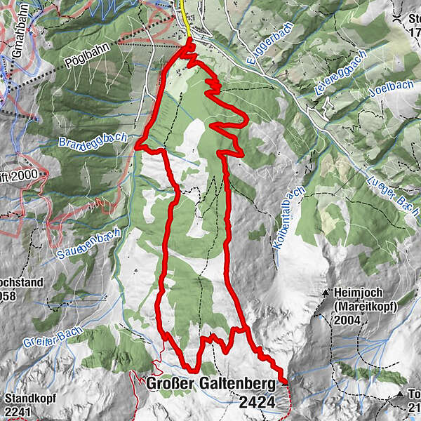
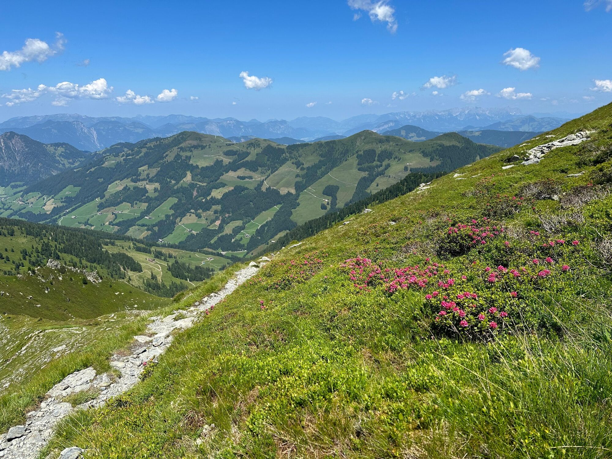
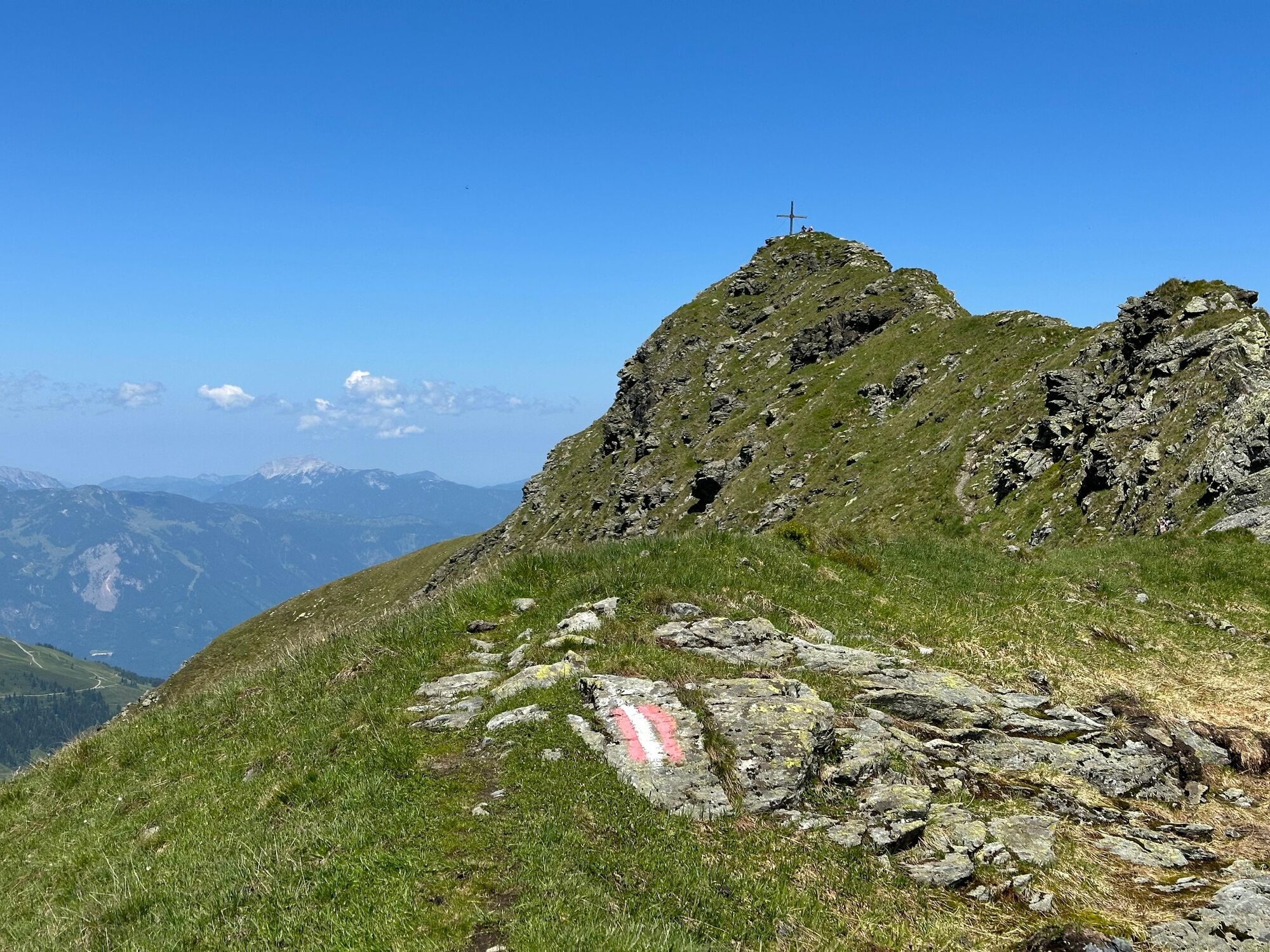
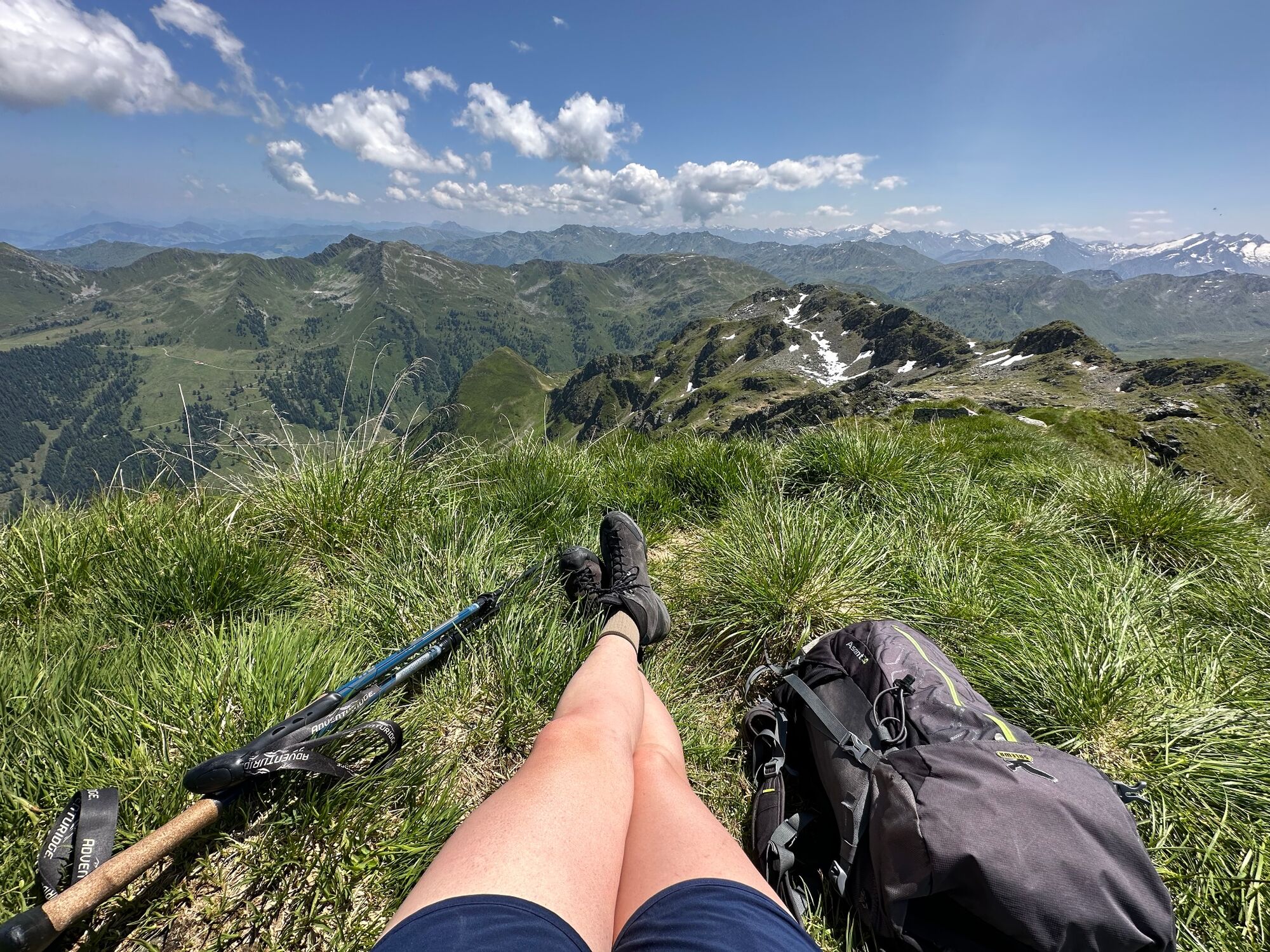
Großer Galtenberg in the Kitzbüheler Alps is the highest peak in the Kufstein district and rewards all those who climb up to the top with spectacular views.
- Difficulty
-
difficult
- Rating
-
- Starting point
-
Car park Inneralpbach, Alpbach
- Route
-
InneralpbachConny Tiroler WirtshausZirmalm0.4 kmHauskapelle0.7 kmJagdhütte Alpenkreuz (verfallen)4.3 kmGroßer Galtenberg (2,424 m)7.8 kmFarmkehralm Hochleger10.6 kmFarmkehralm Niederleger11.8 kmFarmkehralm11.8 kmFilialkirche Herz-Jesu16.5 kmInneralpbach16.5 kmConny Tiroler Wirtshaus16.6 km
- Best season
-
JanFebMarAprMayJunJulAugSepOctNovDec
- Description
-
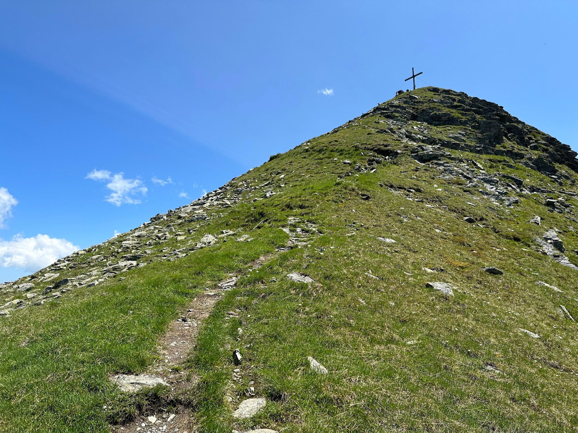
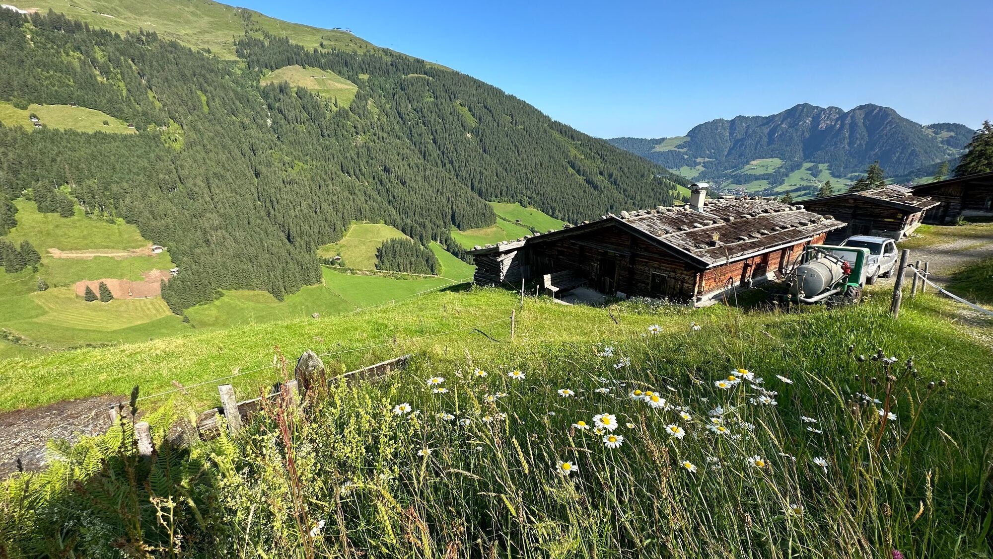
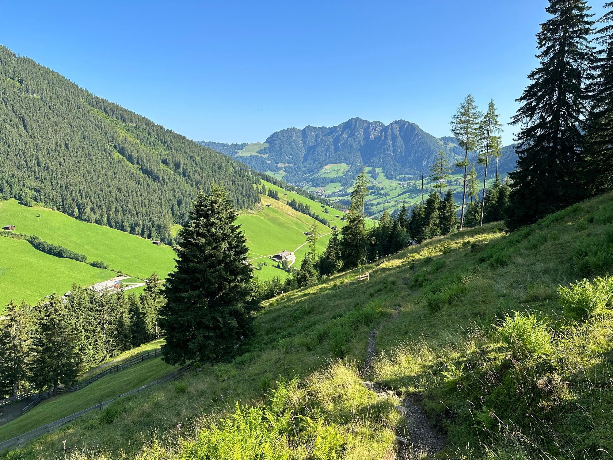
Start from Inneralpbach walk past the Hotel Galtenberg towards the Richtung Bergbauernmuseum (Farmhouse Museum) Inneralpbach. Take the A37 to the right of the museum and walk up to Alplkreuz (a woodland crossing approx. 1 h 45 min). Follow the signs for "Galtenberg" and walking along the ridge continue on to a fork (approx. 1 h 30 min from Alplkreuz) and stay on the A37 to Großer Galtenberg (total uphil walking time approx. 4 h).
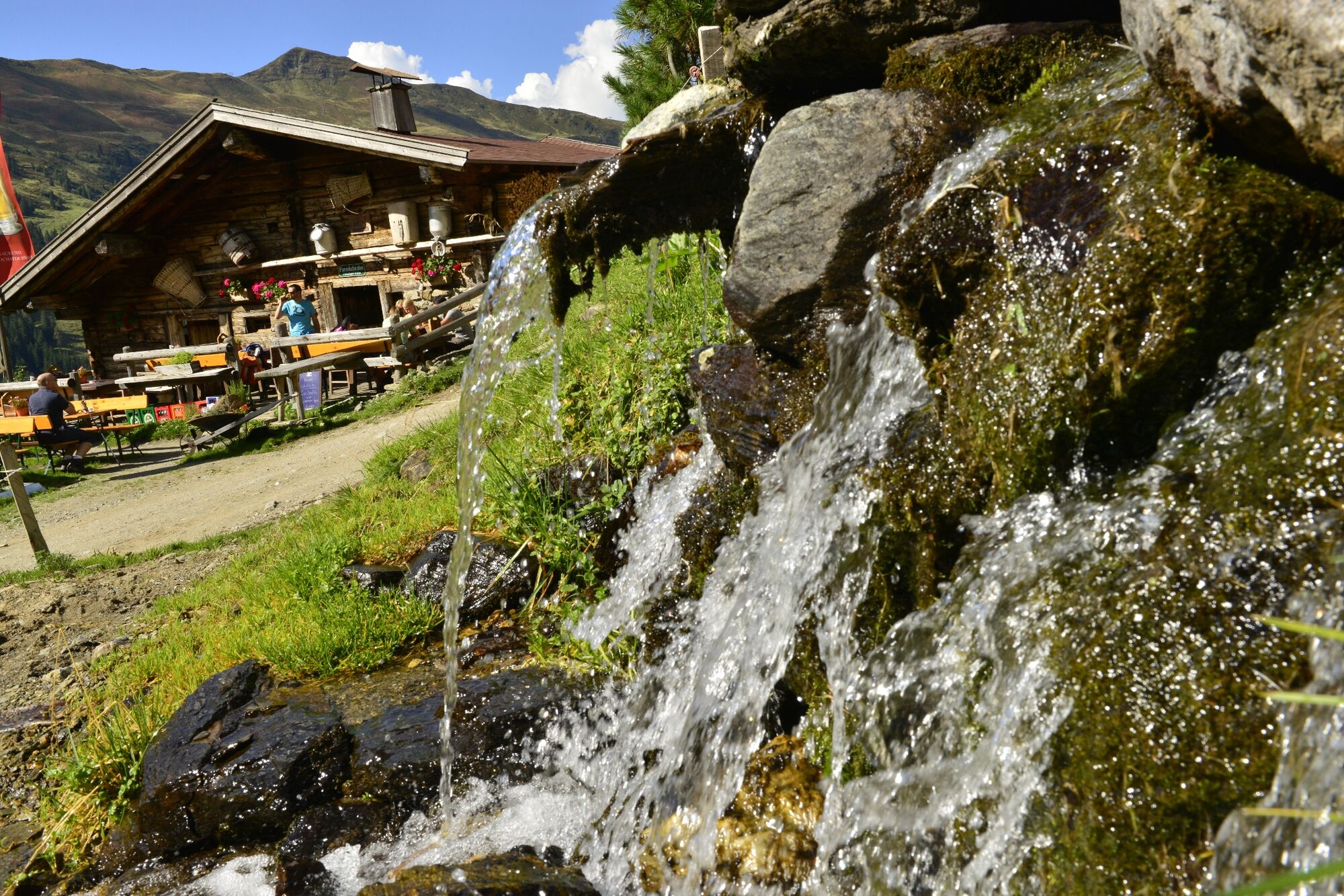
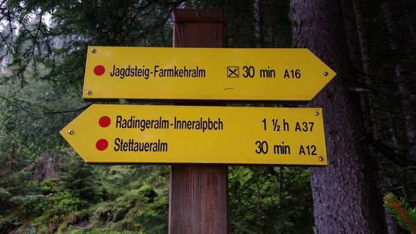
Descent option 1: walk back to the fork (saddle) take the path to the right towards Farmkehralm Hochleger and following the Schützensteig walk onto the Stettauer Alms and back to Inneralpbach. To reach the Farmkehralm (a rustic hut where food and drinks are served) instead of taking the Schützsteig at Farmkehralm Hochleger follow the downhill path to the Farmkehralm - approx. 20 minutes. Take the Jagdsteig back to Inneralpbach.
Descent option 2: hike in a southerly direction towards "Kleiner Galtenberg". At the next saddle take the steep path down to the "Farmkehr pan" and the Farmkehr Hochleger. Hike along the Schützensteig or the Jagdsteig via the Farmkehralm (a rustic hut where food and drinks are served) to Inneralpbach.
- Directions
-
Start from Inneralpbach walk past the Hotel Galtenberg towards the Richtung Bergbauernmuseum (Farmhouse Museum) Inneralpbach. Take the A37 to the right of the museum and walk up to Alplkreuz (a woodland crossing approx. 1 h 45 min). Follow the signs for "Galtenberg" and walking along the ridge continue on to a fork (approx. 1 h 30 min from Alplkreuz) and stay on the A37 to Großer Galtenberg (total uphil walking time approx. 4 h).
Descent option 1: walk back to the fork (saddle) take the path to the right towards Farmkehralm Hochleger and following the Schützensteig walk onto the Stettauer Alms and back to Inneralpbach. To reach the Farmkehralm (a rustic hut where food and drinks are served) instead of taking the Schützsteig at Farmkehralm Hochleger follow the downhill path to the Farmkehralm - approx. 20 minutes. Take the Jagdsteig back to Inneralpbach.
Descent option 2: hike in a southerly direction towards "Kleiner Galtenberg". At the next saddle take the steep path down to the "Farmkehr pan" and the Farmkehr Hochleger. Hike along the Schützensteig or the Jagdsteig via the Farmkehralm (a rustic hut where food and drinks are served) to Inneralpbach.
- Highest point
- 2,396 m
- Endpoint
-
Car park Inneralpbach, Alpbach
- Height profile
-

- Equipment
-
Hiking boots and suitable clothing
- Safety instructions
-
The hike leads through Alpine terrain. Sure-footedness is required at the peak.
Demanding tour!
- Tips
-
Take sufficient to drink and a snack - as you won't find anything on route for the first 6 hours of the hike.
- Directions
-
A12, motorway exit Kramsach/Brixlegg, towards Brixlegg, Alpbachtal to Inneralpbach
- Public transportation
- Parking
-
Car park Inneralpbach


- Author
-
The tour Großer Galtenberg is used by outdooractive.com provided.


General info
-
Alpbachtal
1502
-
Alpbach
494