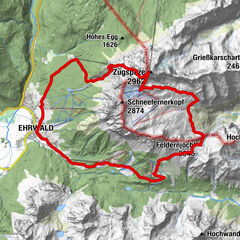
Tour data
11.26km
877
- 1,576m
769hm
06:30h
- Brief description
-
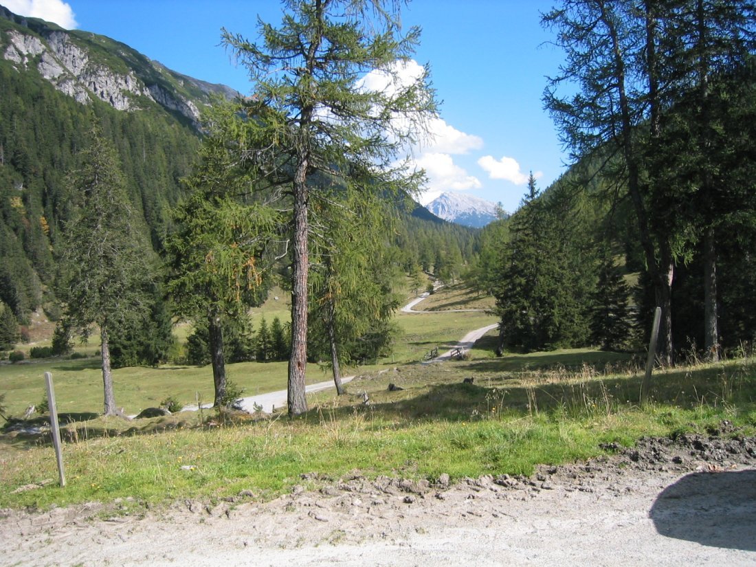
In das Tegestal geht es entlang des Tegesbaches entlang der Wegmarkierung E4.
Wir laufen durch Grotten holen und kleine wegen. Ein Erlebnis und Scheune Aussichten.
Am Tarrentonalm (1519m) ist die ruhe herrlich. - Difficulty
-
medium
- Rating
-
- Starting point
-
Brunnwald
- Route
-
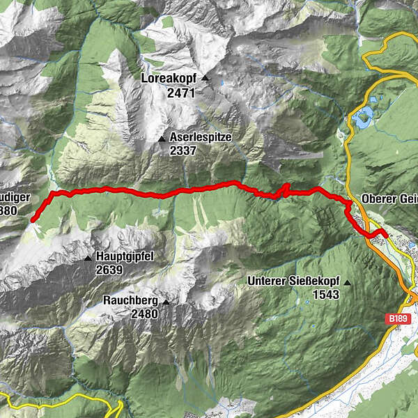
Tarrentonalm10.4 kmHinterbergalm (1,579 m)11.1 km
- Best season
-
JanFebMarAprMayJunJulAugSepOctNovDec
- Highest point
- Tarrenton Alm (1,576 m)
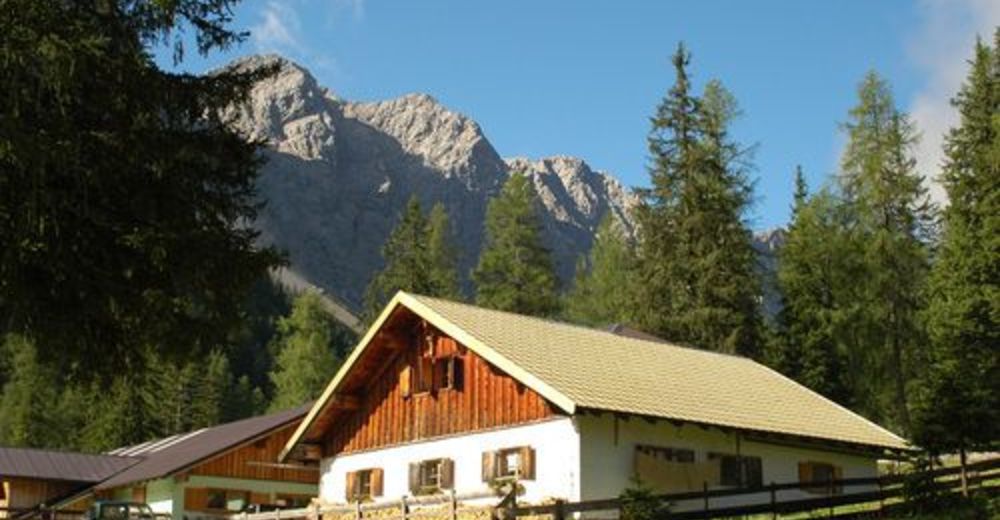
- Rest/Retreat
-
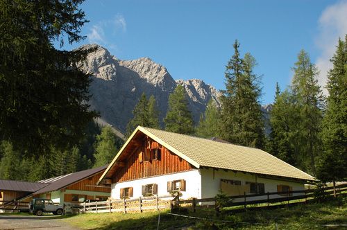
Tarrenton Alm oder Klötzhütte
- Ticket material
-
Freitag & Berndt - Imst, Landeck, Telfs, Fernpass - WK252
GPS Downloads


Other tours in the regions
-
Outdoorregion Imst
1227
-
Nassereith
329
 bzw. Vilsalpsee")