
- Brief description
-
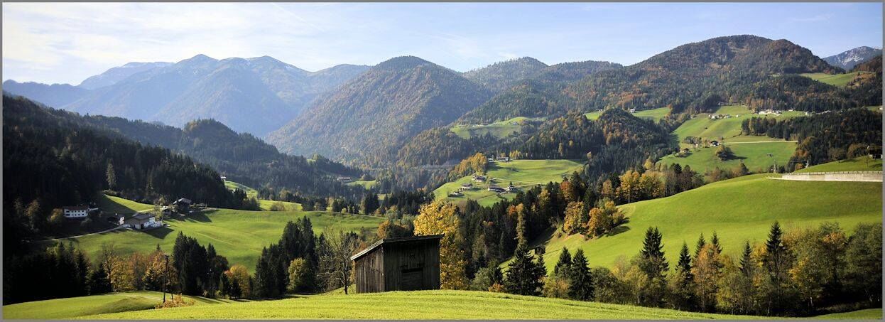
Day 1: from Kramsach via Voldöppberg/Voldöpper Spitze to Brandenberg --> approx. 5 - 6 h
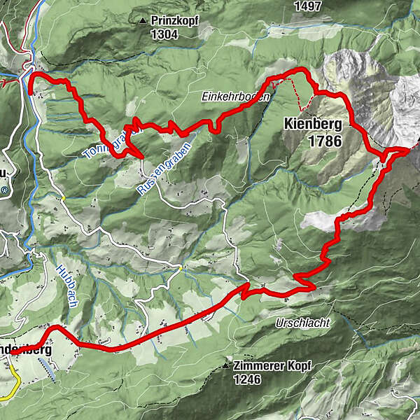
Day 2: from Brandenberg -> Jocheralm -> Kienberg -> Pinegg --> 6 - 7 h
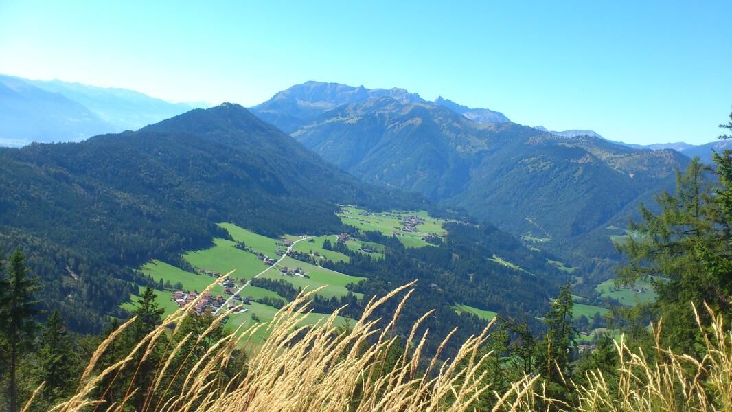
Day 3: from Pinegg via Aschau, Anderl´s Hütte to Lake Zirein and the Bayreuther Hütte --> approx. 7- 8 h
Day 4: from the Bayreuther Hütte - walk back down to the valley and the starting point --> approx. 2 h
- Difficulty
-
medium
- Rating
-
- Starting point
-
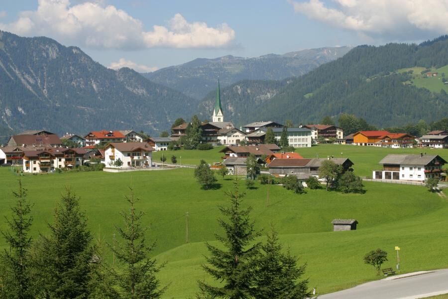
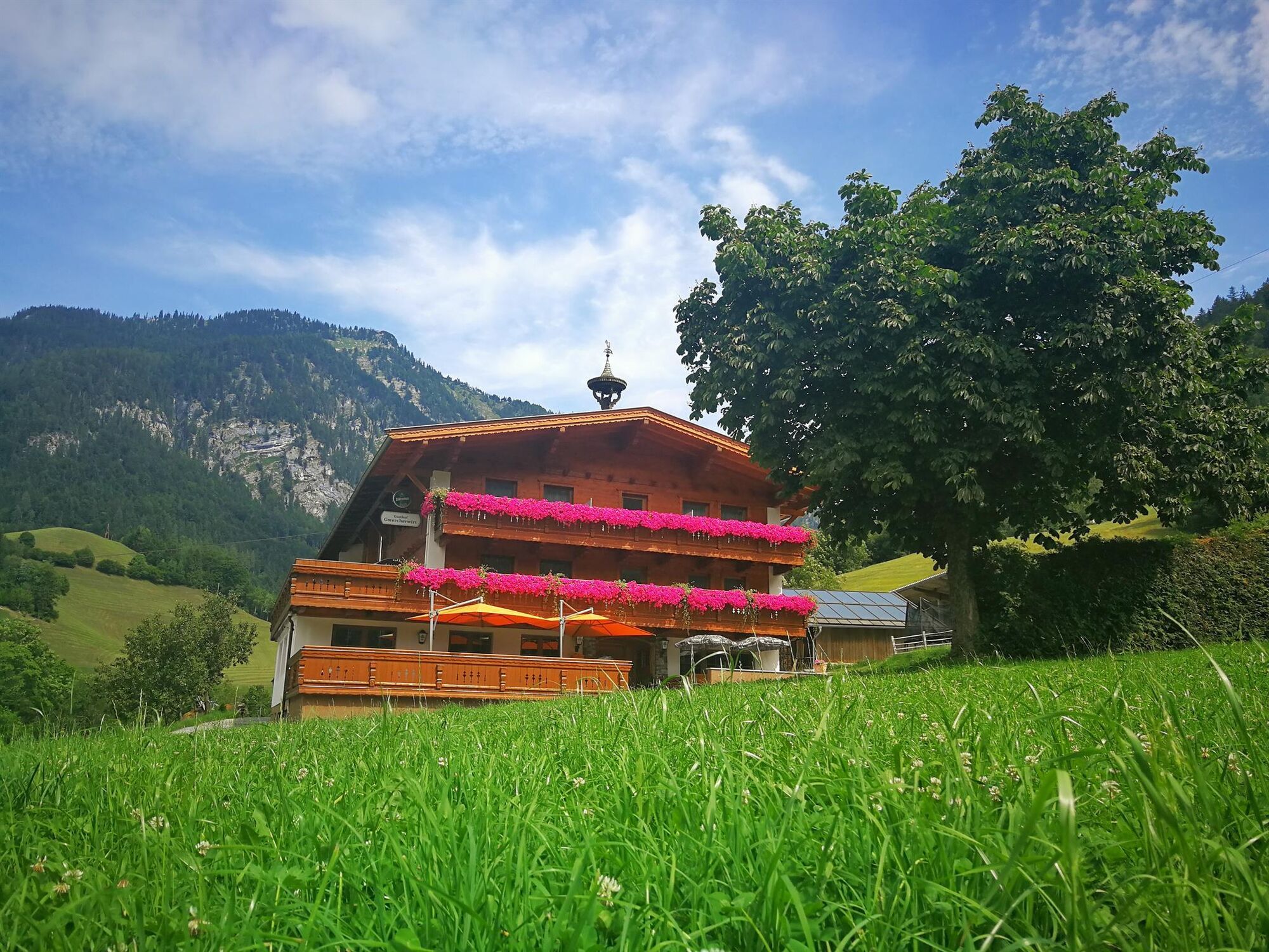
Brandenberg
- Route
-
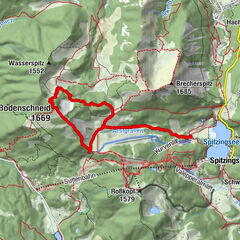
Ascherwirt0.0 kmBrandenberg0.0 kmHeiliger Georg0.0 kmNeuwirt0.1 kmJocheralm6.5 kmHeuberg7.7 kmKienberg (1,786 m)9.0 kmEinkehralm (1,446 m)10.6 kmHeubrandalm (1,321 m)13.4 kmPinegg20.1 kmKapelle Pinegg20.2 km
- Best season
-
JanFebMarAprMayJunJulAugSepOctNovDec
- Description
-
Day 2: from Brandenberg via the Jocheralm to Kienberg descent to Pinegg --> 6 - 7 hours
From Brandenberg walk along the pavement towards "Winkel" for approx. 3 km to the "Kink/Pumphaus" intersection. Follow the signs for Jocheralm/Kienberg/Plessenberg along the steep uphill road. At the cattle grid turn left approx. 300 m uphill via a forest track to the signpost "Alter Steig". One can now either follow the forest track to the Jocheralm or take the "Alter Steig" - a nice alternative to the tarmacked road (after the forest track intersection take the path to the right). From the Jocheralm turn left and follow the signs for "Kienberg/Plessenberg". For those up for a challenge hike along the route via Heuberg and the Heuberg saddle to the 1.743 m high Plessenberg (marvellous views over the Inn Valley – additional hiking time 1h 30 min) and back via the Heuberg saddle and towards Kienberg to the tours highest point at 1.786 m. The easier descent leads from the Jocheralm directly to Kienberg (in approx. 3 h 30 min, omiting the Plessenberg). From the cross hike downhill to the “Einkehr“ and „Heubrand“ huts on to "Prama" and then steep downhill to Pinegg.
- Highest point
- 1,775 m
- Endpoint
-
Brandenberg/Pinegg
- Height profile
-

- Equipment
-
Sturdy shoes and protective clothing
- Safety instructions
-
Descending from the Heuberg demands sure-footedness!
- Tips
-
Please note! There is nowhere along the way until Pinegg where one can buy food and drinks. Please bring sufficient with you!
- Directions
-
A12, motorway exit Kramsach, towards Kramsach and Brandenberg
- Public transportation
- Parking
-
Brandenberg village centre
- Author
-
The tour Day 2: 4 days - 4 summits tour is used by outdooractive.com provided.


General info
-
Alpbachtal
1502
-
Brandenberg
417