
- Brief description
-
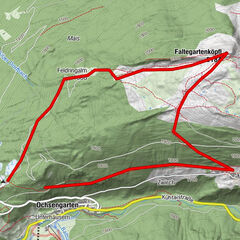
Hotel Falknerhof - Gruesee - Peistakogel - Finstertaler Sennhütte - Hotel Falknerhof
- Route
-
EnnebachNiederthai0.2 kmSennhof0.3 kmPeistakogel (2,644 m)5.1 kmKleinhorlachalm8.5 kmJausenstation Larstighof10.4 kmGrasstallfeld11.8 kmNiederthai13.9 kmEnnebach13.9 km
- Description
-
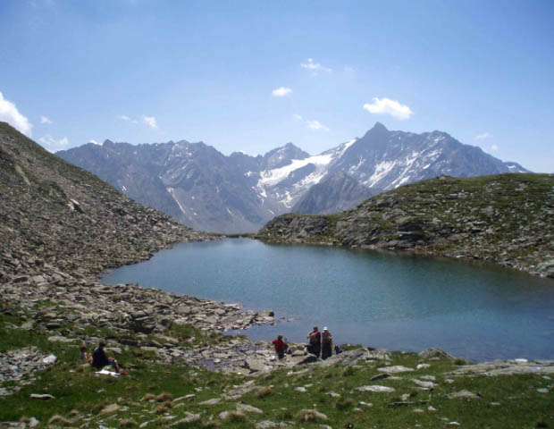
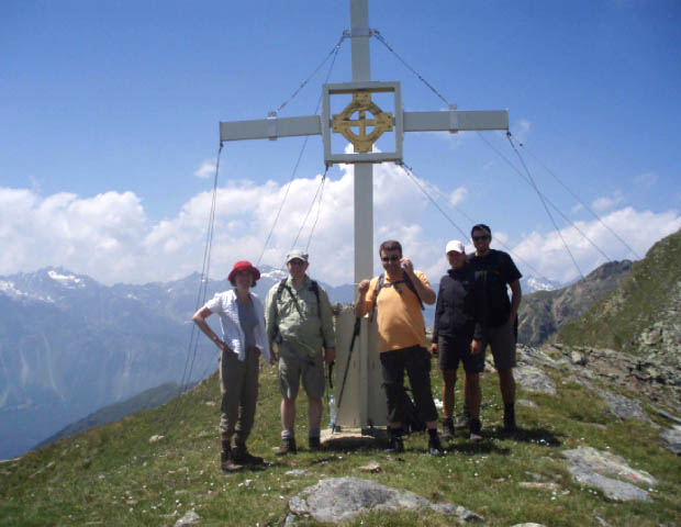
Passing the old "Sennhof”, you head towards the Bergmähderweg and then into the valley for about 2.3km until a route turns off on the left by a chapel towards the Gruesee. You then reach a steep, south-facing path. On days when it is hot, you must be sure to take drinking breaks because of the sun. After a plateau, the route continues very steeply again up to one of the most beautiful view points in the Horlachtal. From there, you can also see the side valleys opposite: the Larstigtal and the Grastal. Following the ridge, you reach the Peistakamm cross.
The descent is steep at first, then through the Wannenkar towards the Finstertaler Sennhütte. Then back to the forest route of Horlachtal.
- Highest point
- 2,634 m
- Height profile
-

- Author
-
The tour Peistakogl 2.640m is used by outdooractive.com provided.


-
Ötztal
1111
-
Niederthai
385