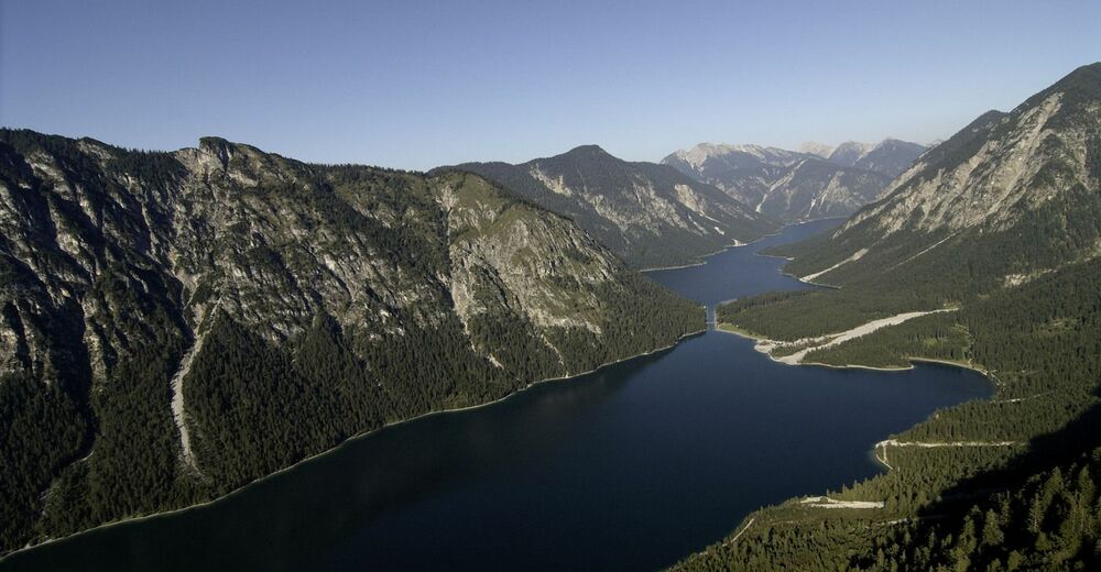
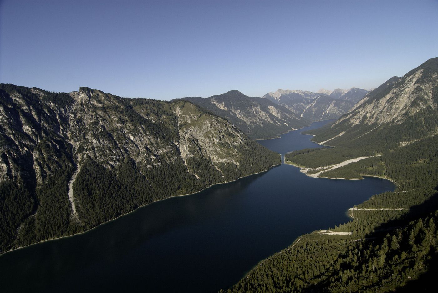
Rundwanderung Stuibenfälle

Logo Rundwanderung Stuibenfälle
Tour data
5.16km
873 - 1,011m
Distance
138hm
Ascent
02:00h
 
Duration
Brief description

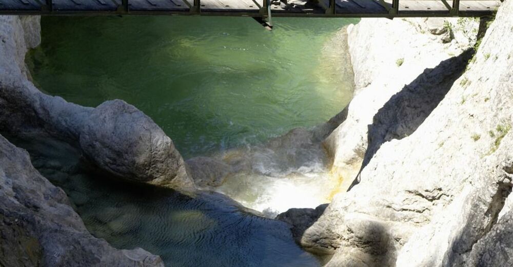
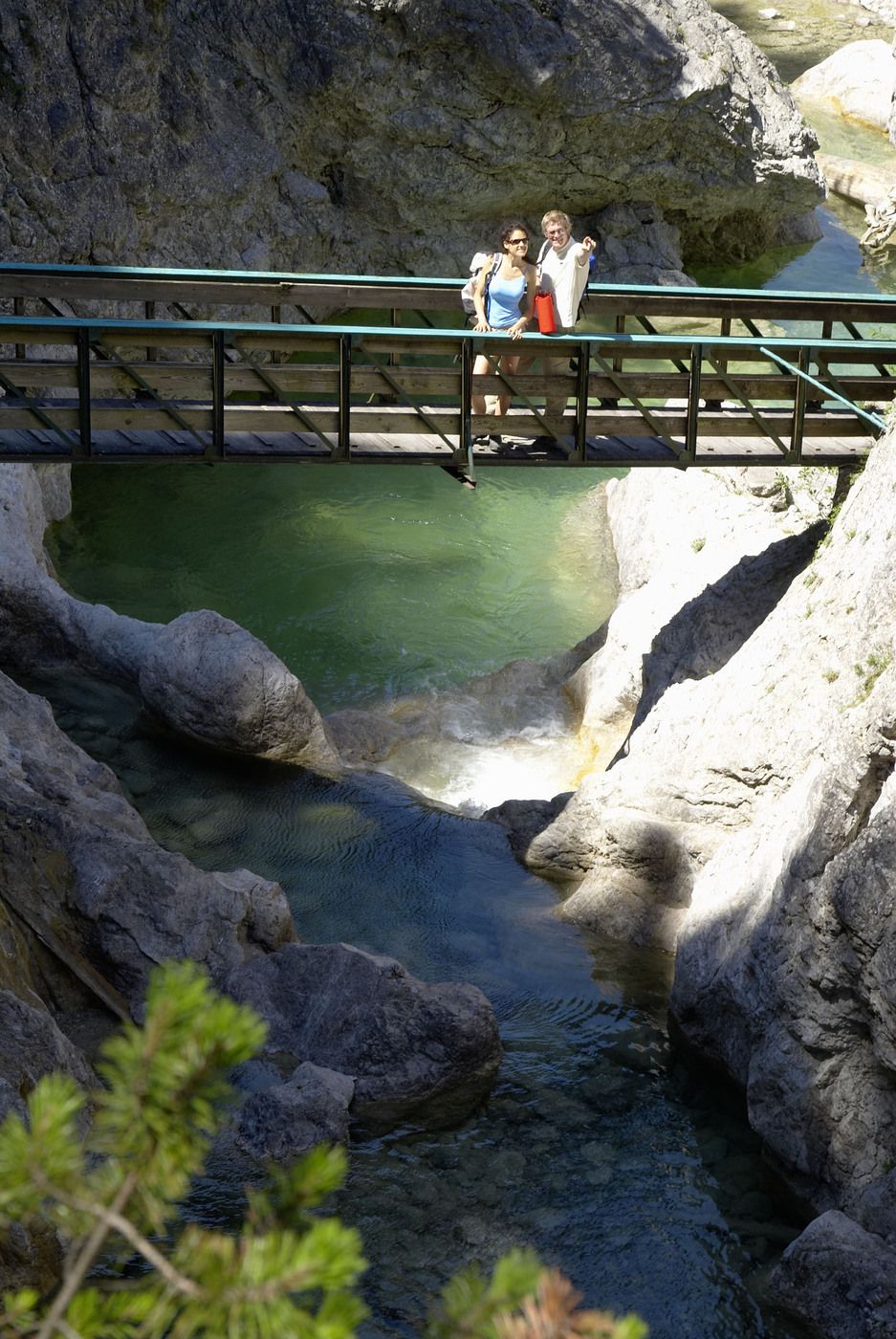
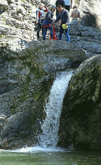
Schmale Pfade, leichtes Wandern

Difficulty
medium
Rating
Technique
Fitness
Landscape
Experience
Starting point

Umspannwerk Planseewerk, Reutte-Mühl

Route
Frauenbrünnele
2.8 km


Highest point
1,011 m

3,0
Overall rating

5

0

%

4

0

%

3

100

%

2

0

%

1

0

%

GPS Downloads
  • GPX GPS Exchange Format (XML)
  • KML Google Earth, Google Maps
QR Download Codes for Mobile Phones

Trail conditions

Asphalt
Gravel
Meadow
Forest
Rock
Exposed
Other tours in the regions

Popular tours in the area

From the Vilsalpsee to the Landsberger Hütte

medium Hiking
9.51km | 586hm | 03:55h

Drehhütte

easy Hiking
3.34km | 517hm | 02:30h

Adlerhorst und Haldensee

easy Hiking
8.86km | 264hm | 02:30h