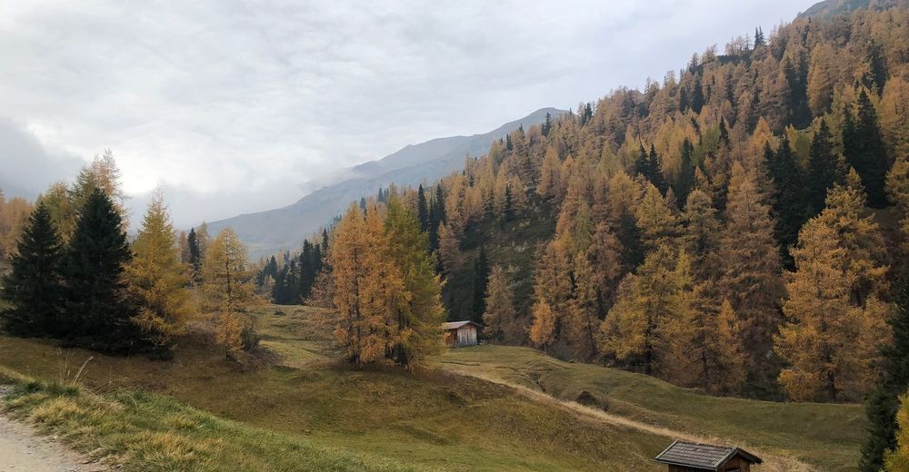
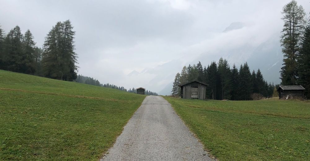
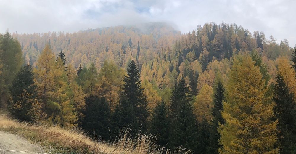
© Tourismusverband Wipptal - Benjamin Jenewein
© Tourismusverband Wipptal - Benjamin Jenewein
© Tourismusverband Wipptal - Benjamin Jenewein
© Tourismusverband Wipptal - Benjamin Jenewein
© Tourismusverband Wipptal - Benjamin Jenewein
© Tourismusverband Wipptal - Benjamin Jenewein
© Tourismusverband Wipptal - Benjamin Jenewein

© Tourismusverband Wipptal - Benjamin Jenewein

© Tourismusverband Wipptal - Benjamin Jenewein

© Tourismusverband Wipptal - Benjamin Jenewein

- Brief description
-
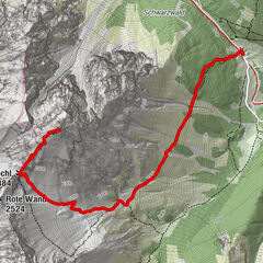
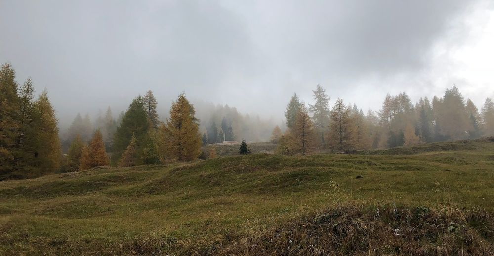
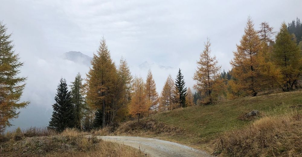
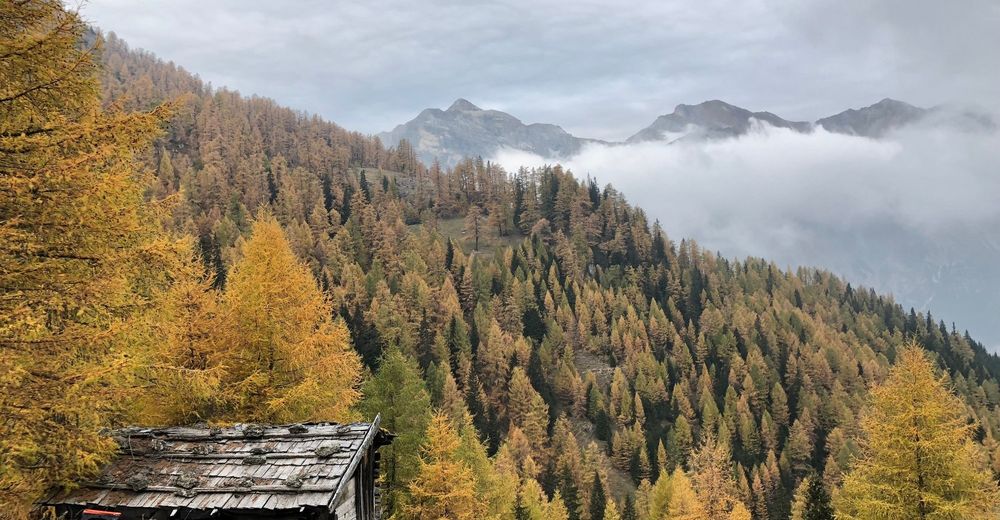
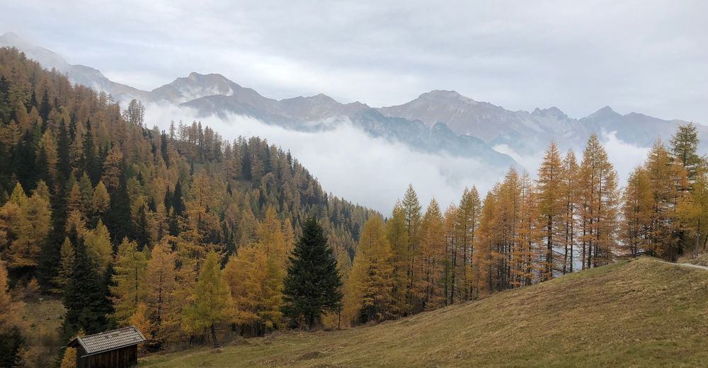
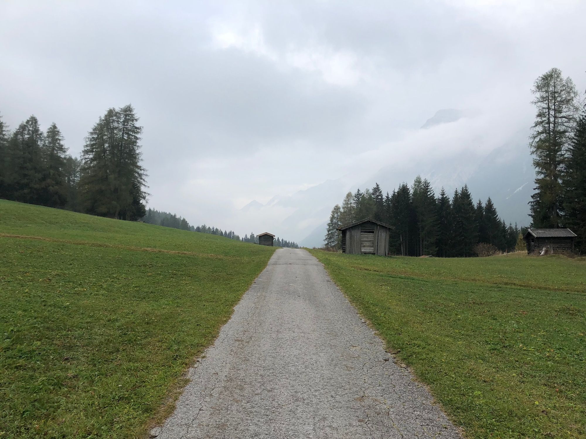
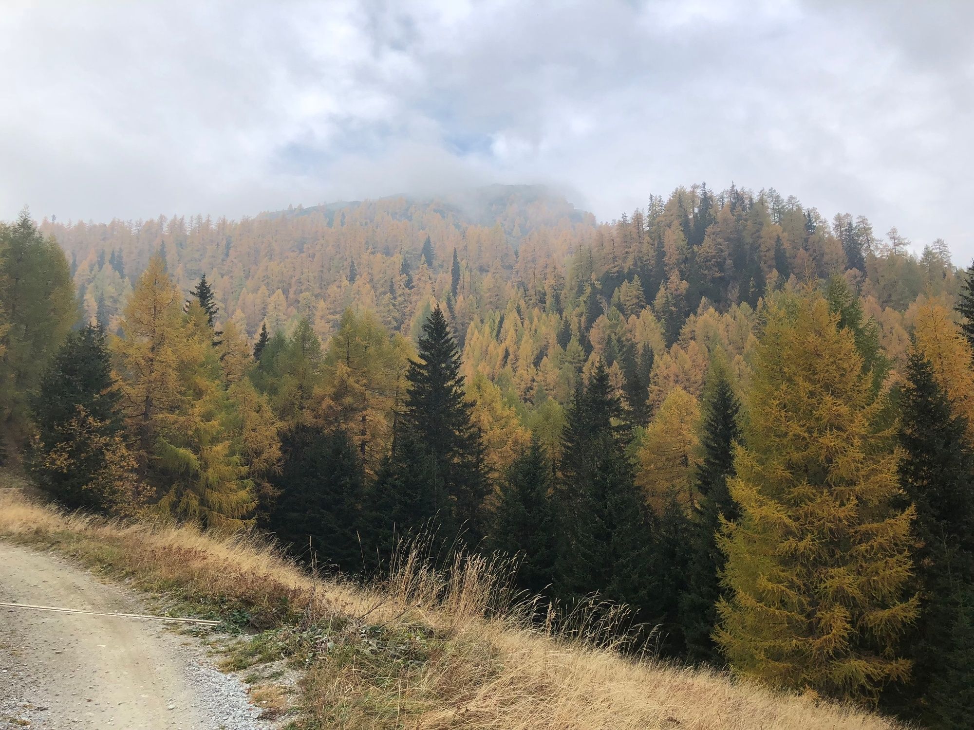
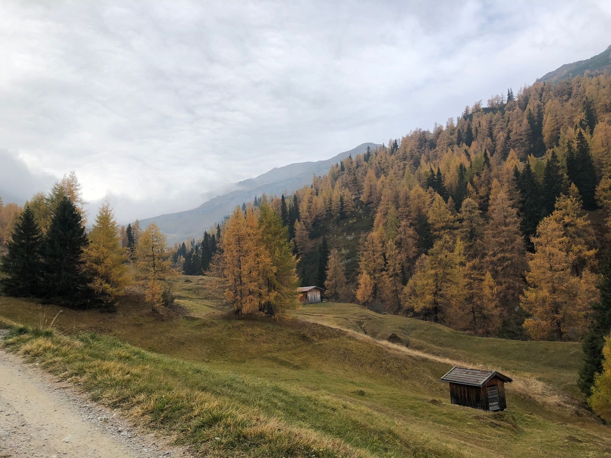
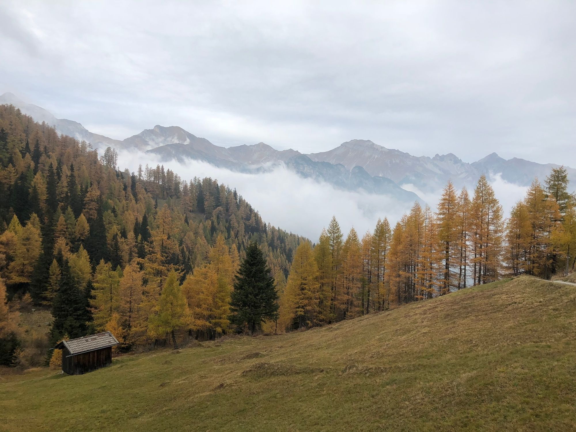
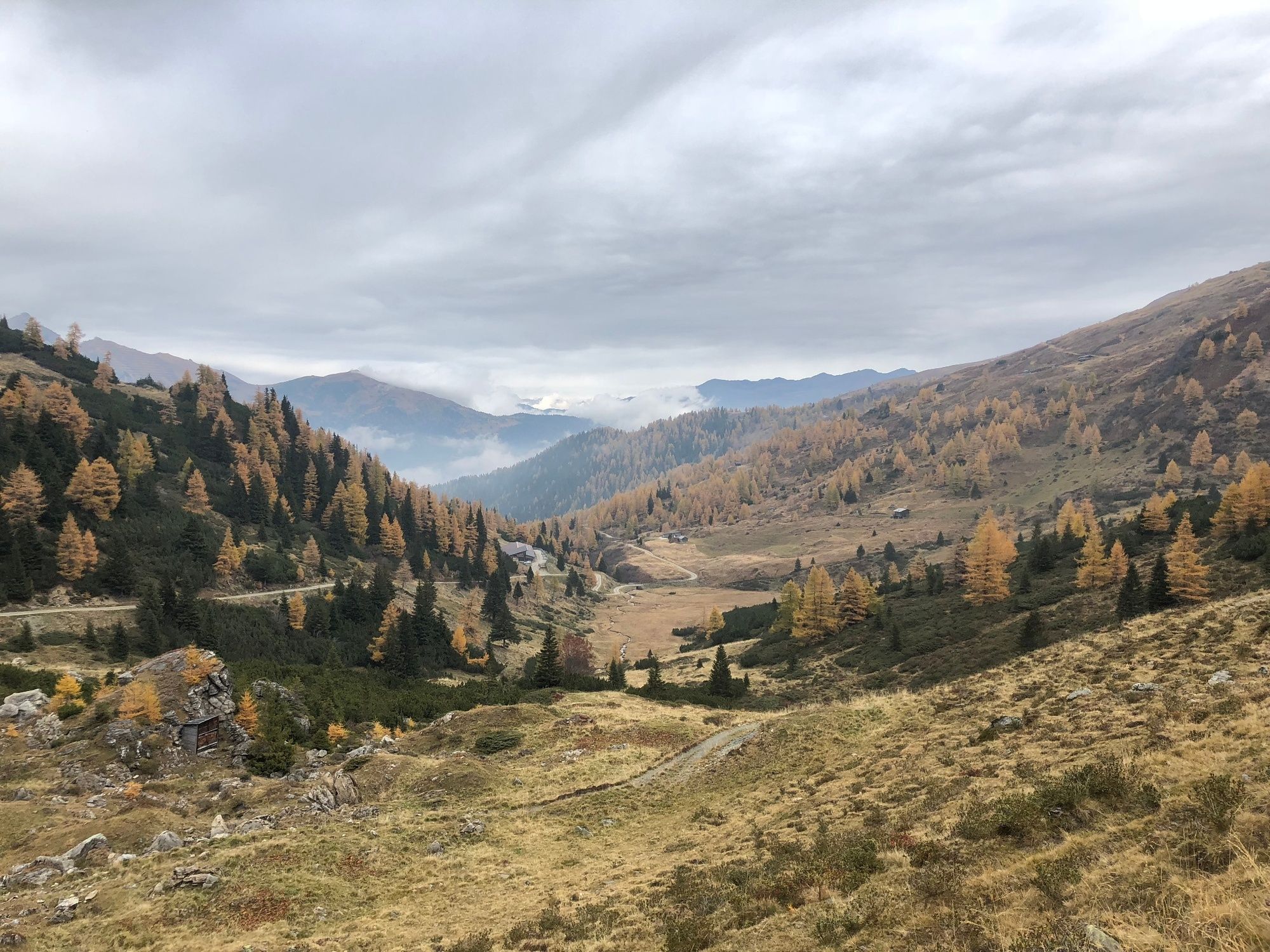
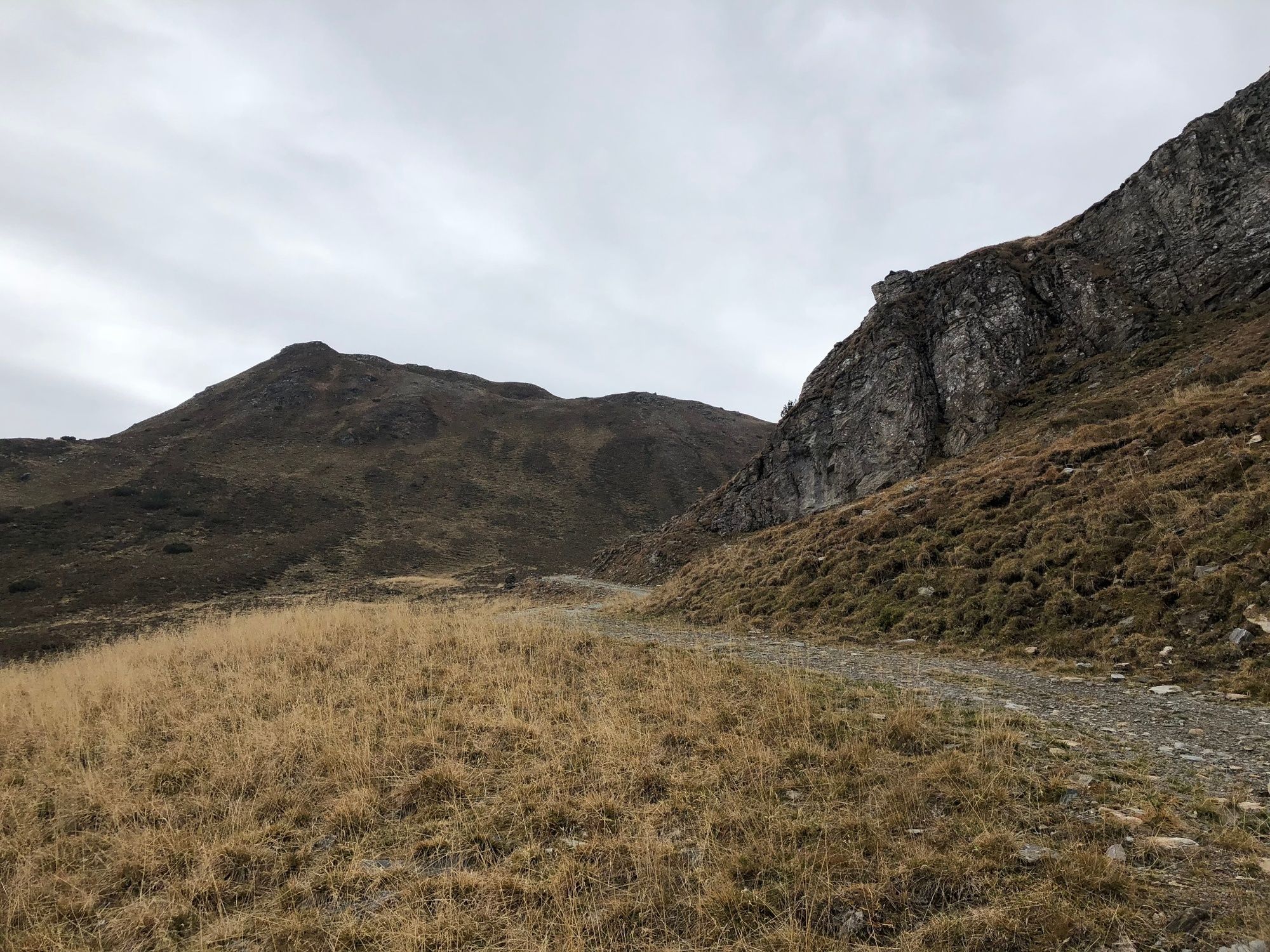
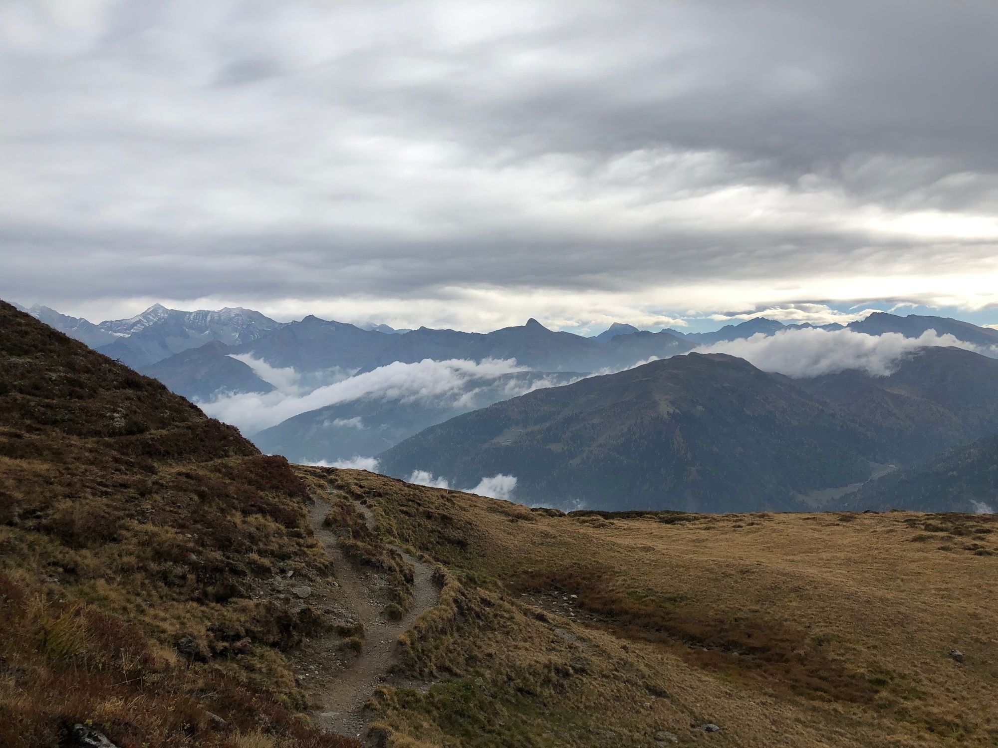
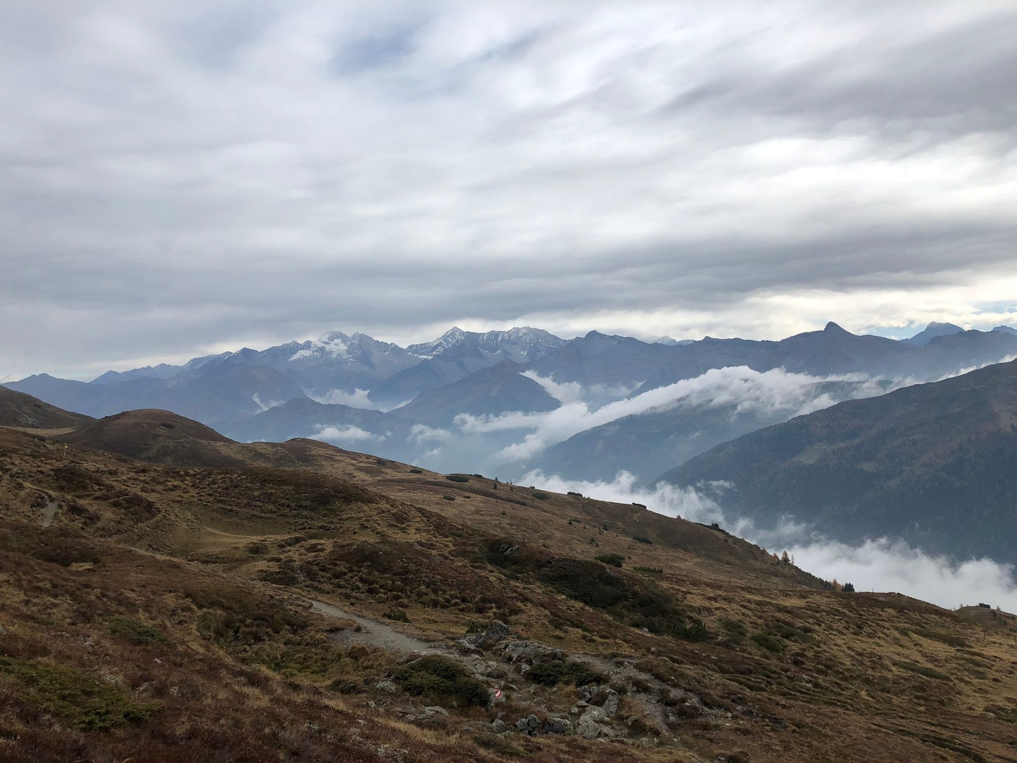
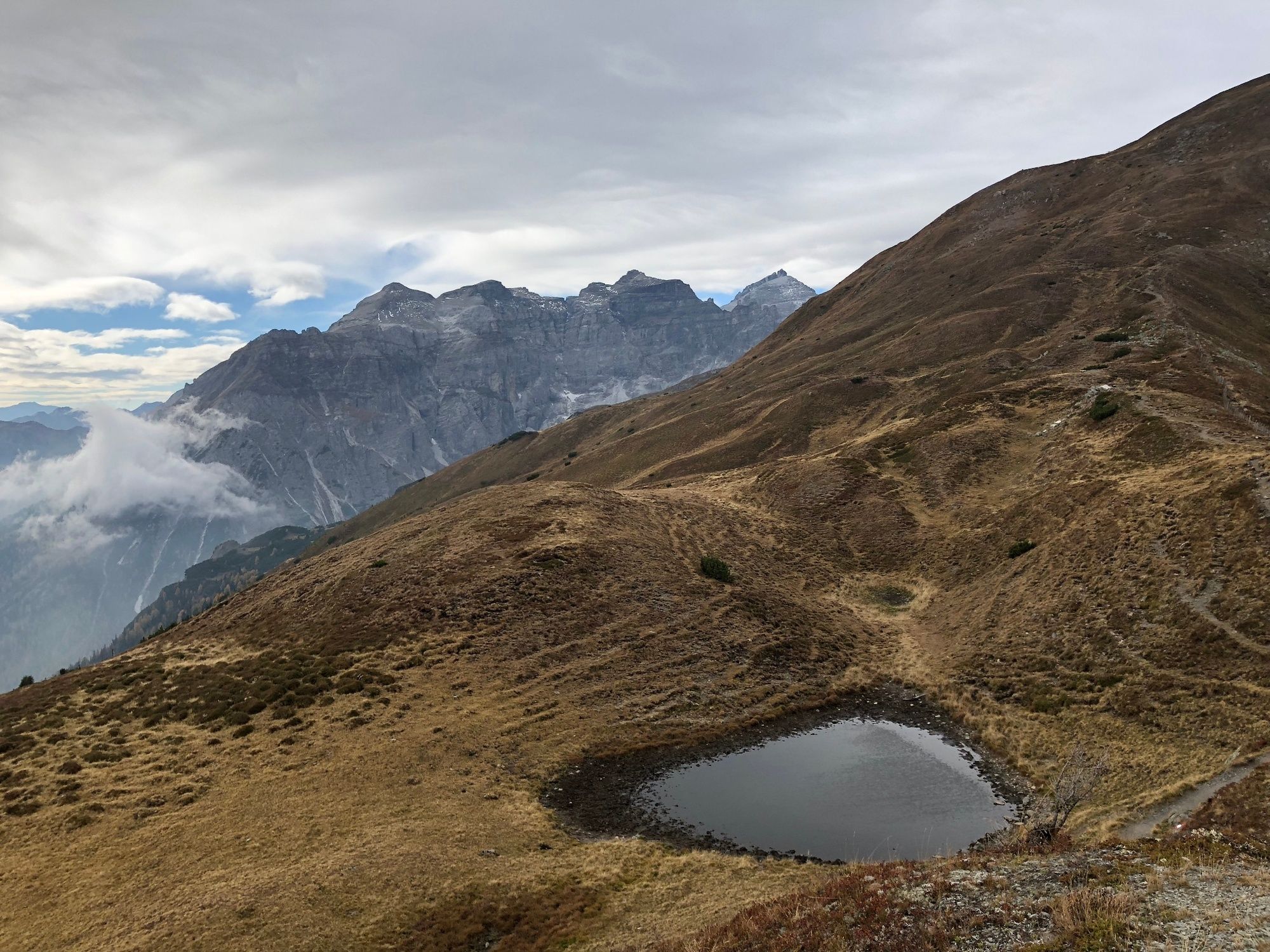
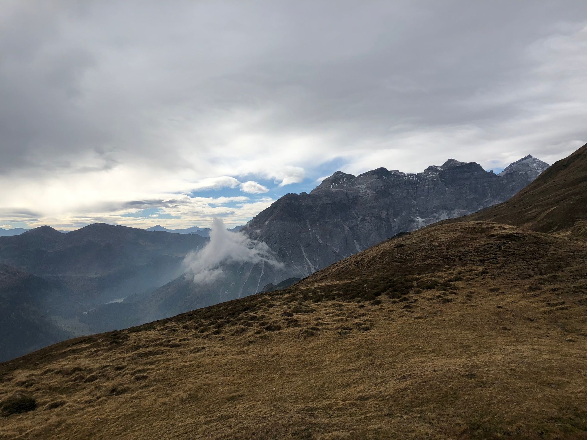
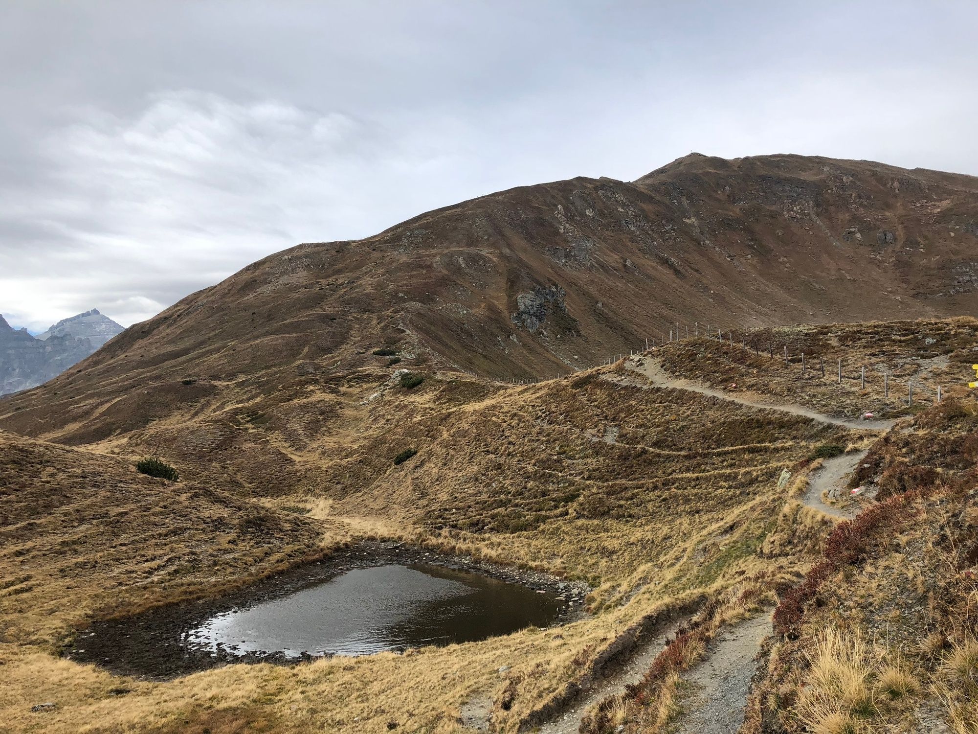
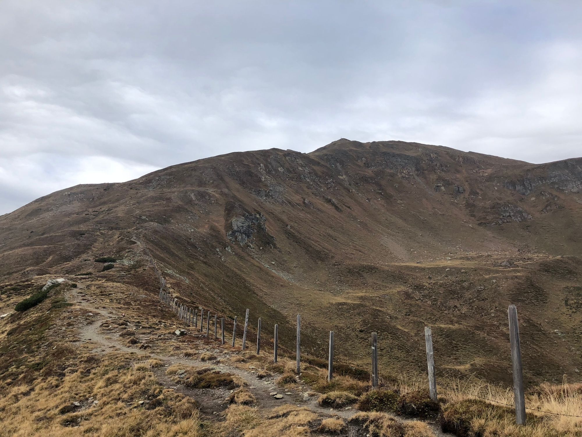
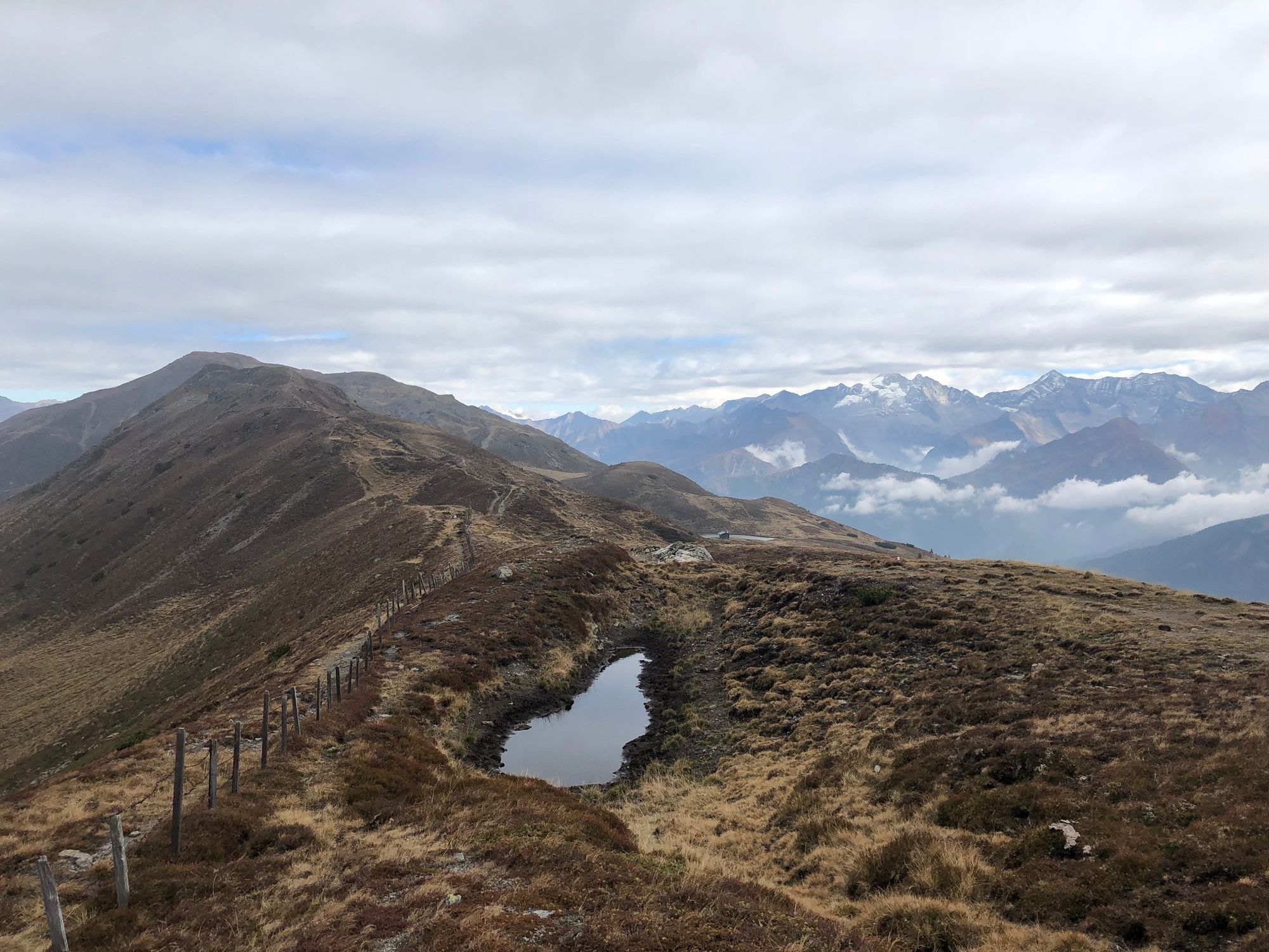
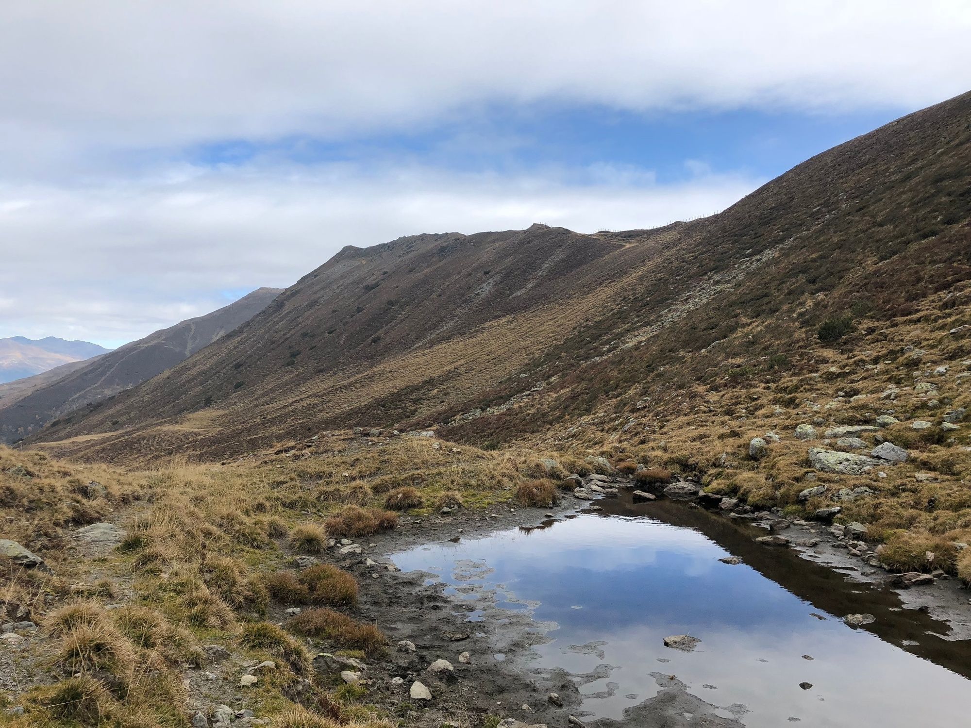
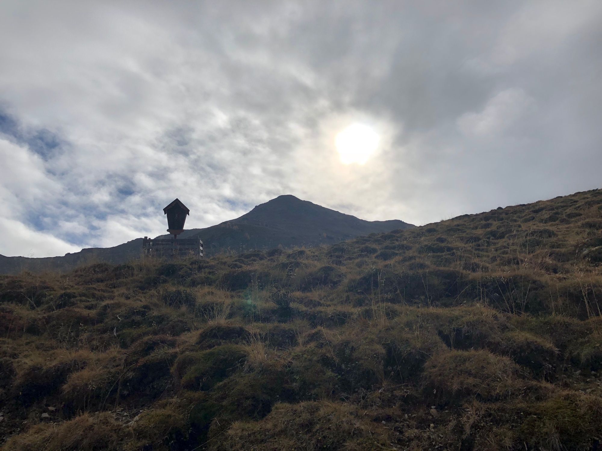
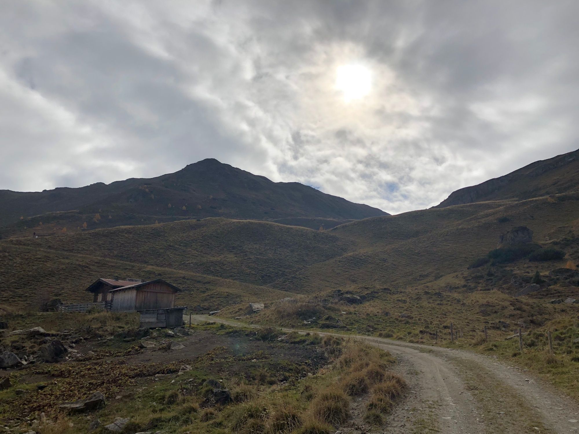
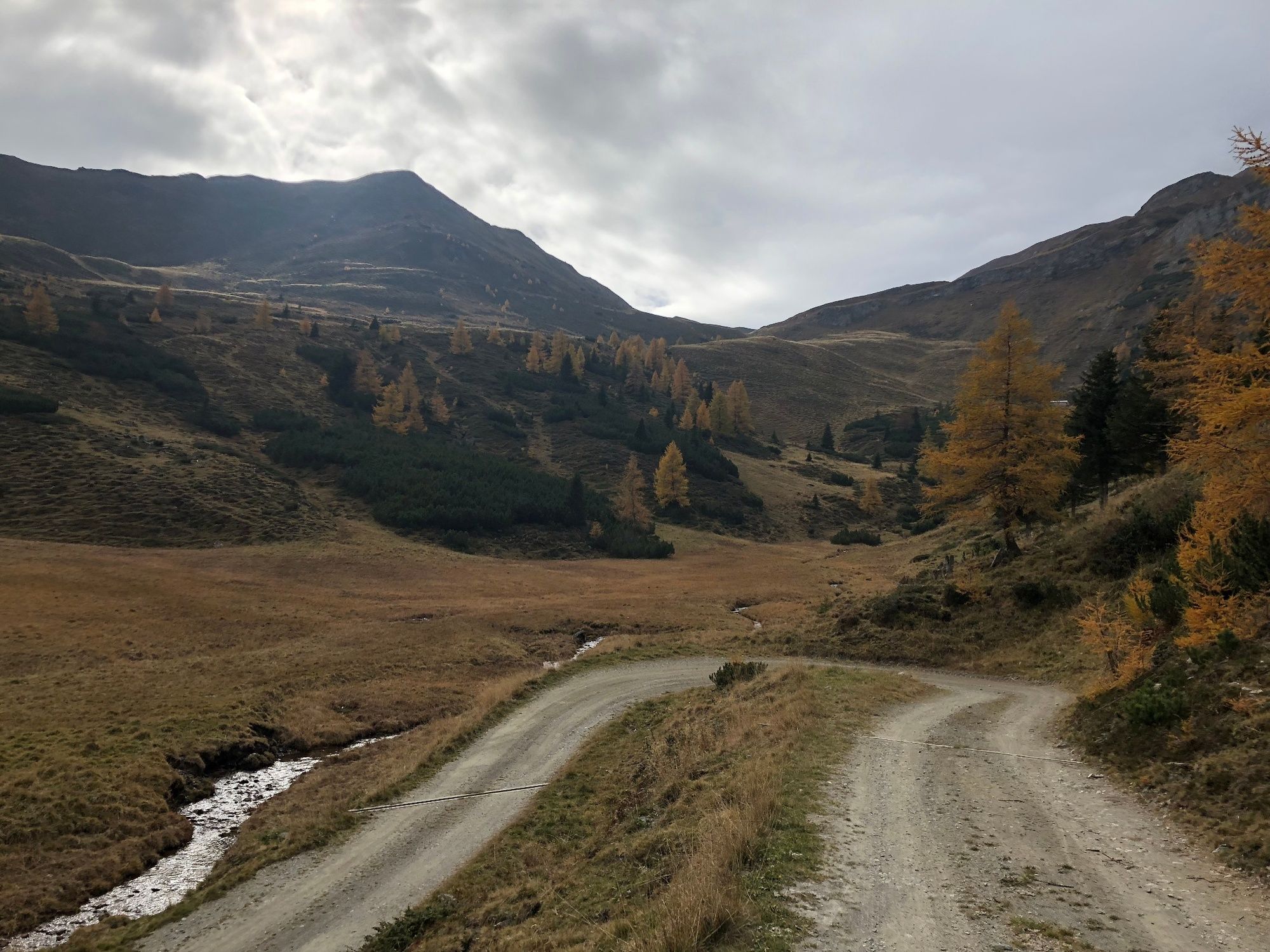
Landschaftlich wunderbare Bergtour von Trins über die Trunaalm und das Trunajoch auf die Rötgenspitz.
- Difficulty
-
difficult
- Rating
-
- Route
-
Liftstüberl0.0 kmTrunahütte6.3 kmTrunajoch (2,152 m)9.7 kmRötenspitze (2,481 m)10.9 km
- Best season
-
JanFebMarAprMayJunJulAugSepOctNovDec
- Highest point
- 2,460 m
- Endpoint
-
Parkplatz neben dem "Liftstüberl" in Trins
- Height profile
-


-

-
AuthorThe tour Trunajoch-Rötenspitz is used by outdooractive.com provided.
GPS Downloads


General info
Insider tip
Flora
A lot of view
Other tours in the regions
-
Brixen und Umgebung
1973
-
Gschnitztal
1032
-
Obernberg am Brenner
248