© Hotel Lumbergerhof - Hotel Lumberger Hof

© Hotel Lumbergerhof - Hotel Lumberger Hof

© Hotel Lumbergerhof - Hotel Lumberger Hof

- Brief description
-
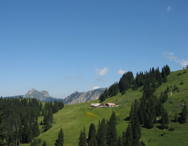
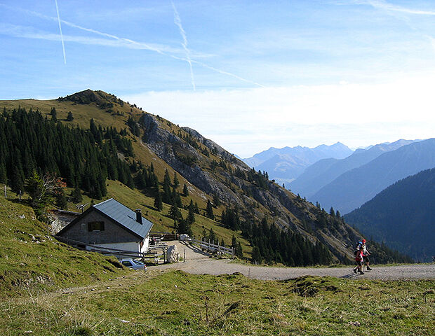
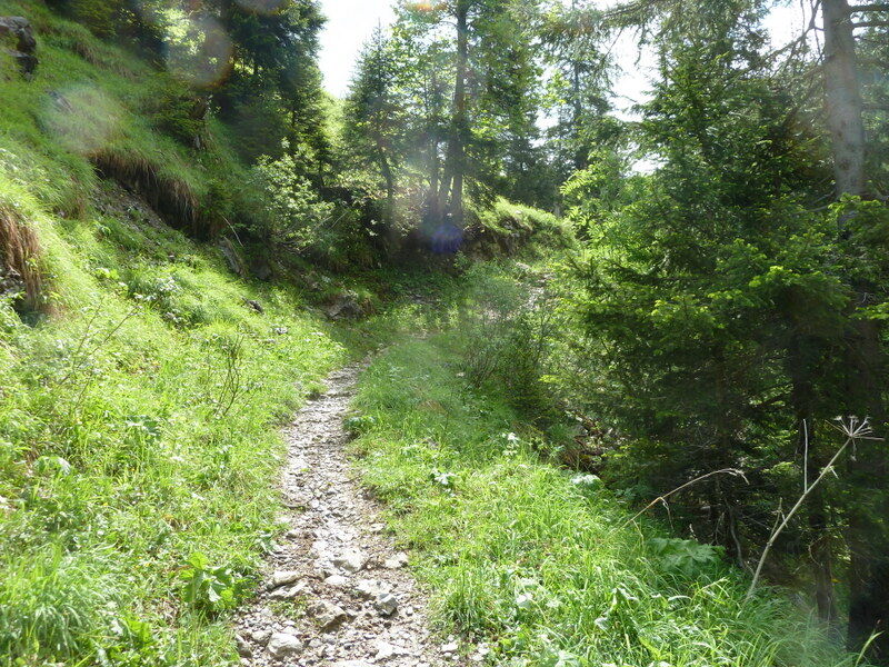
Walk uphill on the mountain trail, next to a small river and through alpine flowers. Downhill on an easy trail.
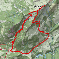
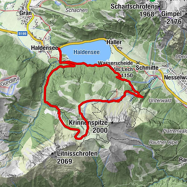
- Route
-
HaldenseeEdenalpe Nesselwängle5.2 kmKrinnenalpe6.7 kmHaldensee11.0 km
- Description
-
Car drive to the parking Haldensee. On the hiking trail direction Edenbachalm, after a while take the left trail to the Gräner Ödenalpe. Over a small bridge we walk the hiking trail uphill to the Ödenalpe. After the Brotzeit we follow the easy trail passing the Edenalpe, on the Alpenrosen-trail we walk to the Krinnenalpe. Follow the trail downhill, don’t miss the small path to the Haldensee nearly at the end. Next to the lake we walk back to the parking.
- Highest point
- 1,710 m
- Height profile
-

- Arrival
-
Hotel Lumbergerhof - Haldensee See Parking
- Public transportation
-
Wanderbus Tannheimertal. Haltestelle Grän - Haldensee.
-

-
AuthorThe tour Gräner Ödenalpe 1726m - Nesselwängler Edenalpe 1759m is used by outdooractive.com provided.
GPS Downloads


Other tours in the regions
-
Allgäu
2362
-
Tannheimer Tal
1453
-
Nesselwängle
589