


© Naturparkregion Reutte - Die Naturparkregion Reutte

- Brief description
-
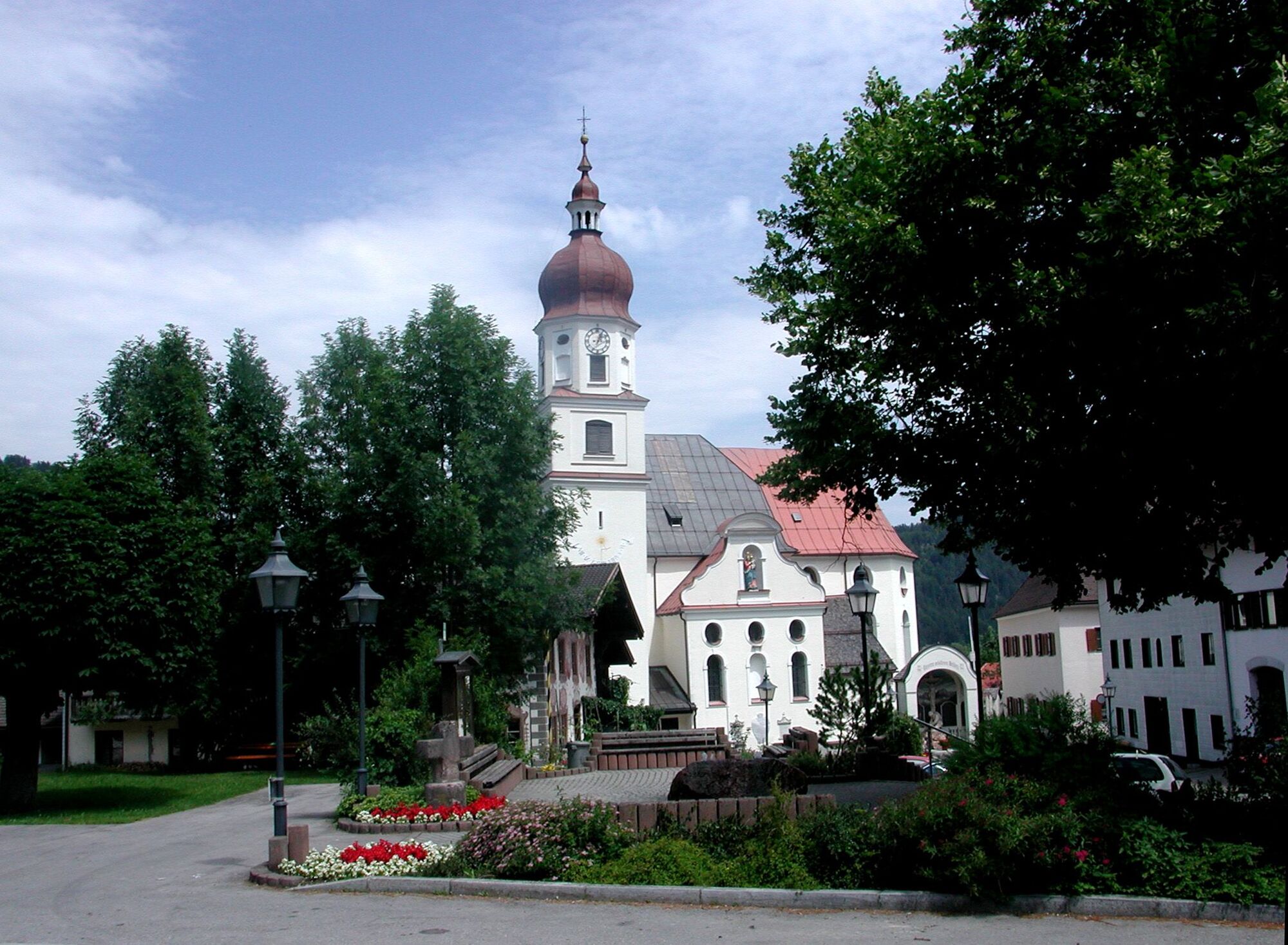
Der Lechfall ist ein in ganzer Breite überströmtes Stauwehr, das bereits Ende des 18 Jhd. erreichtet wurde. Er befindet sich am südlichen Stadtrand der Stadt Füssen im Allgäu.
- Difficulty
-
easy
- Rating
-
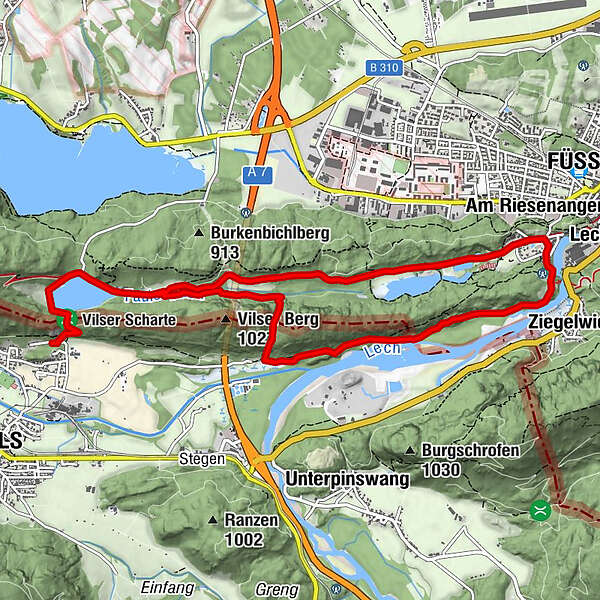
- Route
-
Hotel & Restaurant Alatsee1.4 kmBad Faulenbach5.3 kmSt. Max5.4 kmFüssen (808 m)5.5 kmLechfall6.0 kmUnterberg8.8 km
- Best season
-
JanFebMarAprMayJunJulAugSepOctNovDec
- Highest point
- 908 m
- Endpoint
-
Parkplatz am Alatsee in Vils
- Height profile
-


-

-
AuthorThe tour Lechfallrunde is used by outdooractive.com provided.
GPS Downloads


General info
Refreshment stop
Cultural/Historical
Insider tip
Flora
A lot of view


 bzw. Vilsalpsee")


