- Difficulty
-
medium
- Rating
-
- Route
-
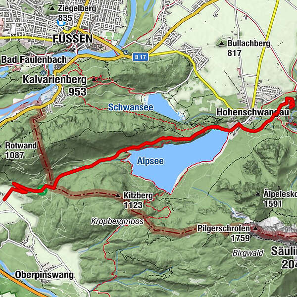
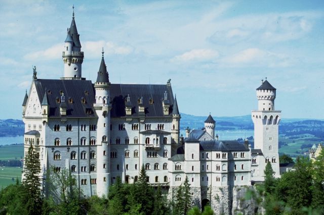
Hohenschwangau5.6 kmWasserfall unterm Schloss5.7 kmSchlossrestaurant Neuschwanstein6.2 km
- Best season
-
JanFebMarAprMayJunJulAugSepOctNovDec
- Highest point
- 938 m
- Endpoint
-
Königsschlösser
- Height profile
-

- Author
-
The tour Von Pinswang über die Fürstenstraße in Richtung Königsschlösser is used by outdooractive.com provided.
GPS Downloads


General info
Refreshment stop
Cultural/Historical
Insider tip
A lot of view
Other tours in the regions
-
Allgäu
2357
-
Naturparkregion Reutte
1432
-
Füssen
601