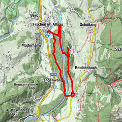
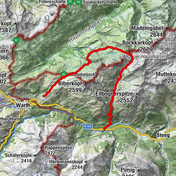
Tour data
14.51km
1,227
- 2,260m
802hm
1,077hm
07:00h
- Brief description
-
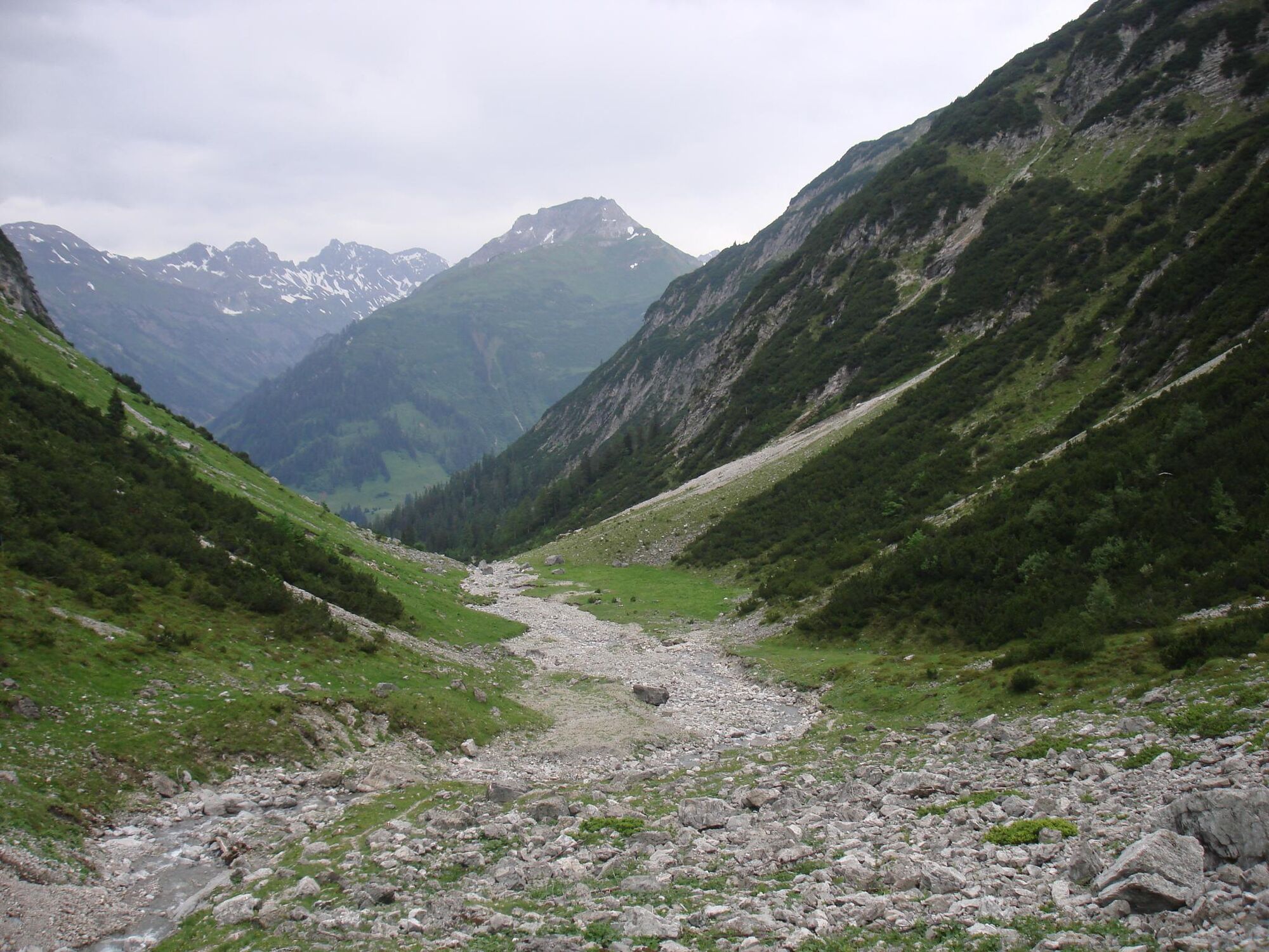
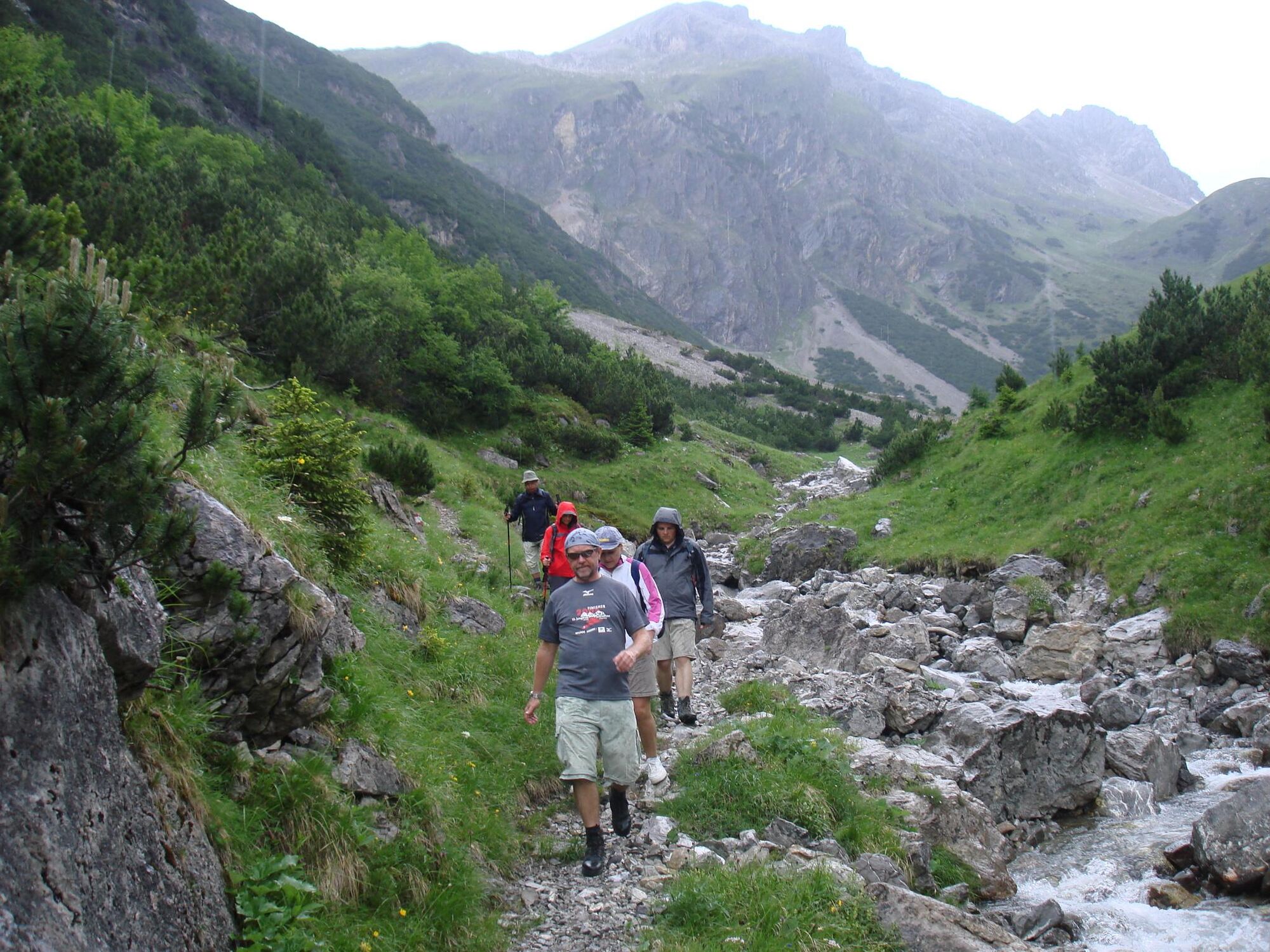
Sehr schöne Höhentour über Almwiesen in Tirol und Bayern mit Blick auf Oberstdorf und die Allgäuer Bergwelt
- Difficulty
-
difficult
- Rating
-
- Route
-
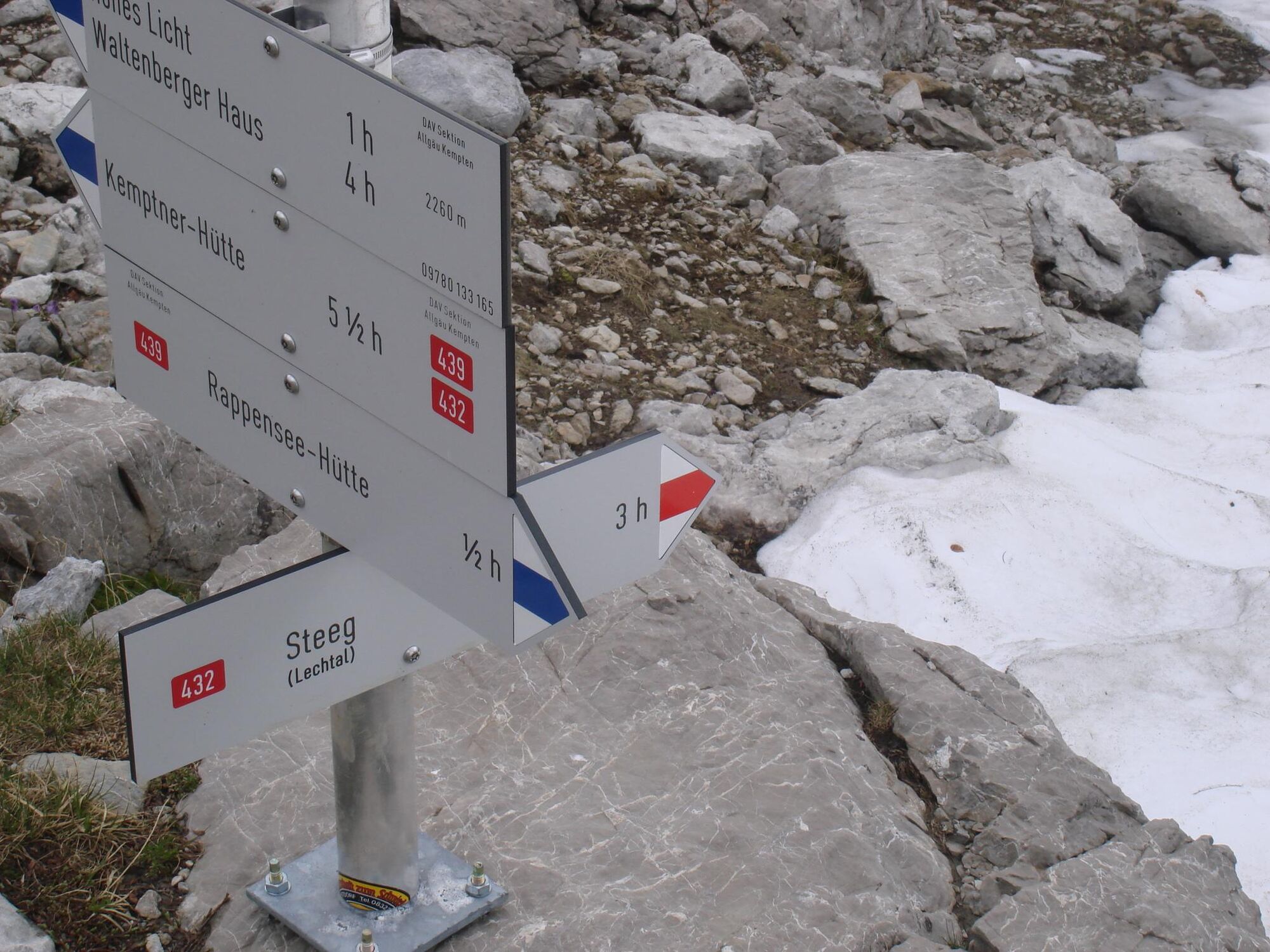
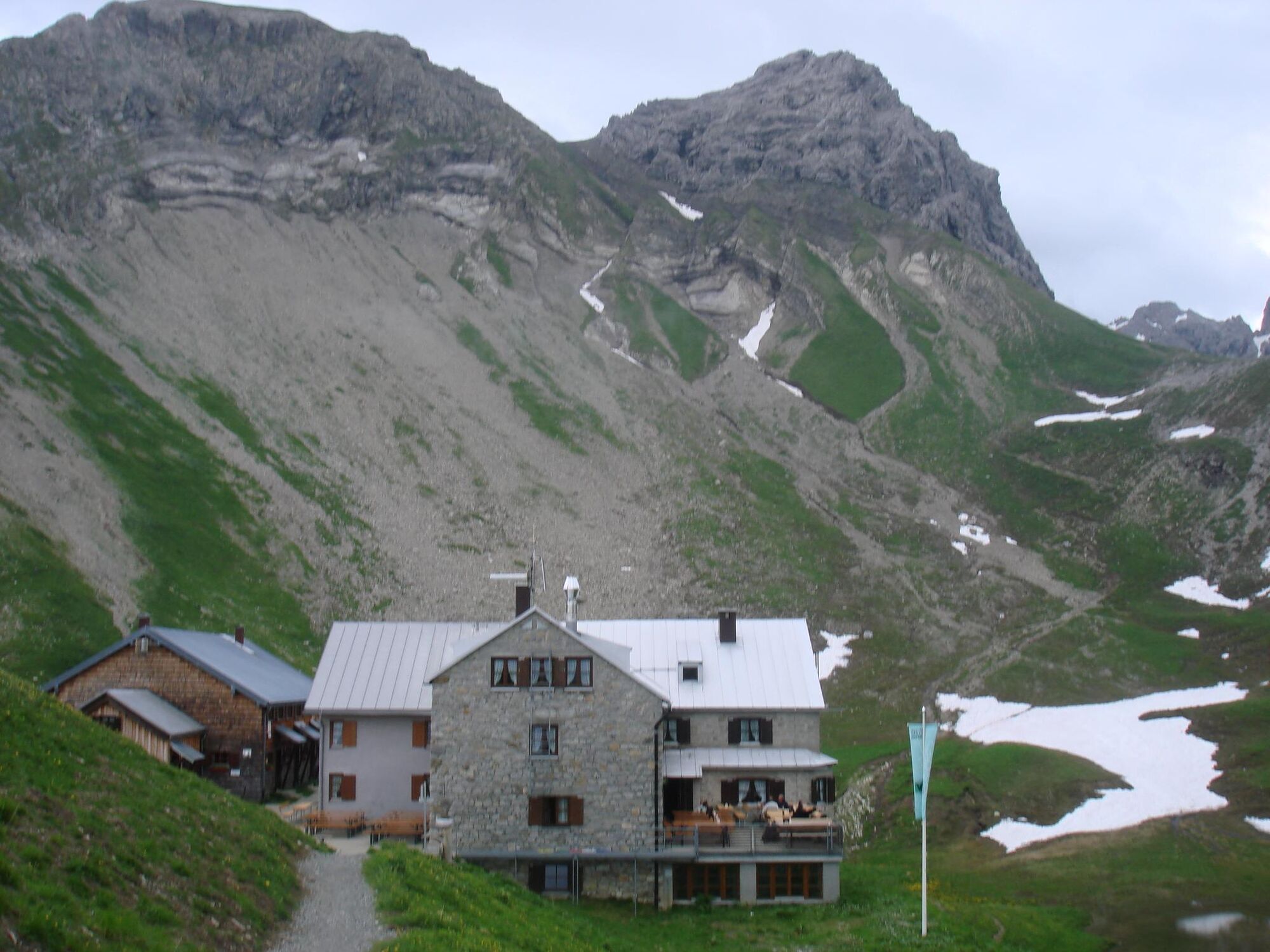
Rappenseehütte6.8 kmSteinetal13.1 km
- Best season
-
JanFebMarAprMayJunJulAugSepOctNovDec
- Highest point
- 2,260 m
- Endpoint
-
Hochalp Bushaltestelle an der Wegmacherhütte
- Height profile
-


- Author
-
The tour Rappensehütte und zurück übers Hochalptal is used by outdooractive.com provided.
GPS Downloads


General info
Refreshment stop
Flora
Fauna
A lot of view
Other tours in the regions
-
Kleinwalsertal
2055
-
Steeg im Lechtal
364