
Tour data
7.7km
981
- 2,470m
1,522hm
23hm
05:30h
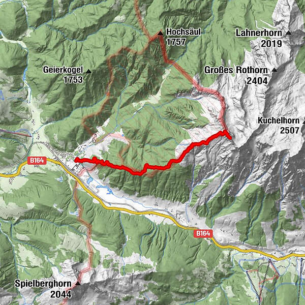
- Difficulty
-
difficult
- Rating
-
- Route
-
Hochdurchkopf (1,722 m)5.0 kmJungfrau (1,910 m)5.8 km
- Description
-
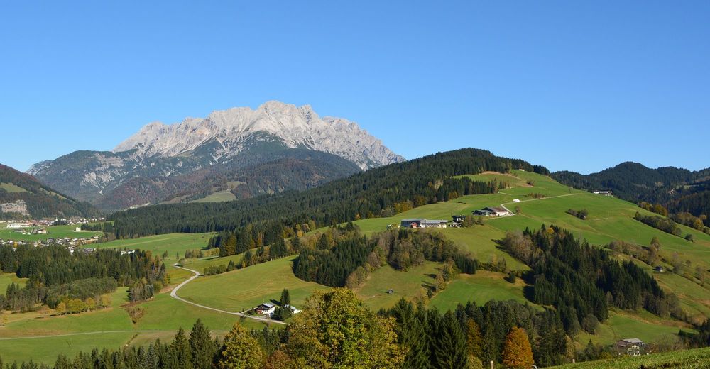
The hike starts at the „Regio-tech“ first over the Recheralm
- Willegghöh to Grießner Schafalm (1.508 m).
Now we adhere to the northeast, get over a forest back
to Hochdurchkogel (1.722 m), through a mountain pine
zone to the Jungfrau (1.910 m) and further on to the
Grießner Rotschartl (2.320 m). From there slightly descending
towards the southwest, then at the west-side
always below the ridge (partly fixed with ropes) and the
last few meters on the ridge to the peak. - Highest point
- 2,470 m

GPS Downloads


Other tours in the regions
-
Saalbach Hinterglemm
1575
-
Hochfilzen
410


