© EVAdinarica Project - EVA dinarica

© EVAdinarica Project - EVA dinarica

- Brief description
-
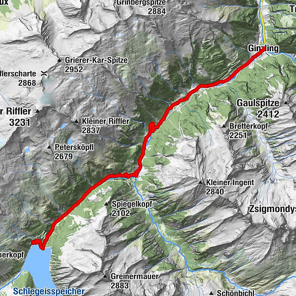
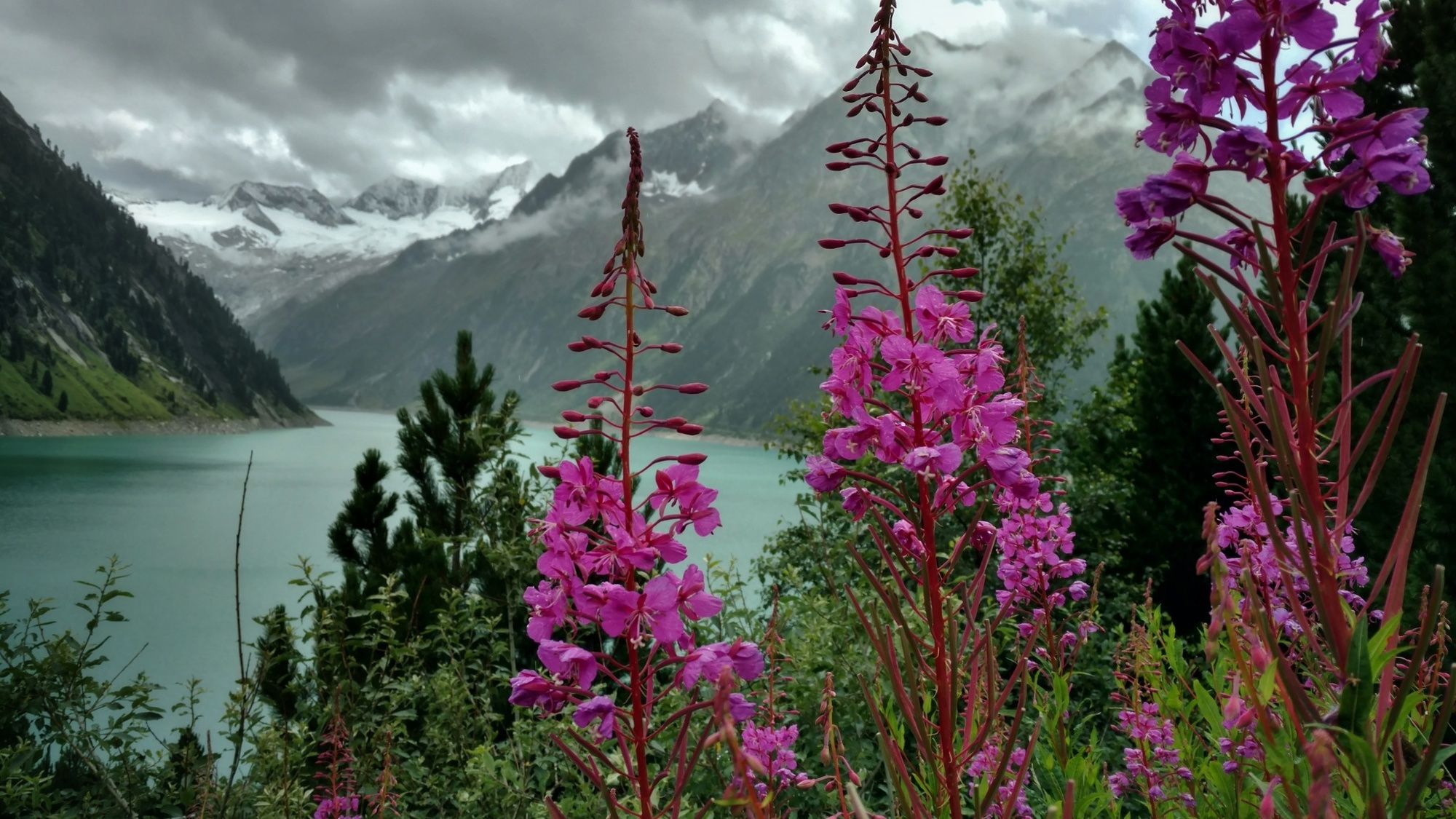
Hiking from Amsterdam to the Balkans: Via Alpina Red Trail R55 - R5 (Feldkirch to Predjama), this is my 22th stage in Austria.
- Difficulty
-
easy
- Rating
-
- Route
-
Altginzling0.1 kmGinzling0.1 kmDornauberg0.3 kmZemmtal0.5 kmRauth1.7 kmZemmtal5.7 kmAlpengasthaus Breitlahner8.4 km
- Best season
-
JanFebMarAprMayJunJulAugSepOctNovDec
- Directions
-
For turn by turn directions check out the Via Alpina website and go to the stage you want to follow. They give excellent directions plus further information.
http://www.via-alpina.org/en/page/237/the-red-trail
- Highest point
- 1,808 m
- Height profile
-

- Additional information
-

-
AuthorThe tour Via Alpina: Ginzling - Dominikus Hütte (day 99) is used by outdooractive.com provided.
GPS Downloads


General info
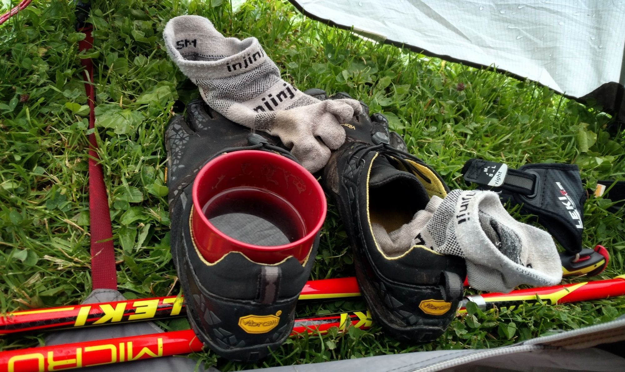
Refreshment stop
A lot of view
Other tours in the regions
-
Brixen und Umgebung
1973
-
Tux - Finkenberg
986
-
Ginzling
240