© Füssen Tourismus und Marketing - Sabine Hipp

© Füssen Tourismus und Marketing - Sabine Hipp

© Füssen Tourismus und Marketing - Sabine Hipp

© Füssen Tourismus und Marketing - Sabine Hipp

© Füssen Tourismus und Marketing - Sabine Hipp

© Füssen Tourismus und Marketing - Sabine Hipp

© Füssen Tourismus und Marketing - Sabine Hipp

© Füssen Tourismus und Marketing - Sabine Hipp

© Füssen Tourismus und Marketing - Sabine Hipp

© Füssen Tourismus und Marketing - Sabine Hipp

- Brief description
-
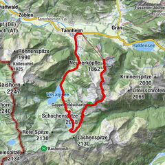
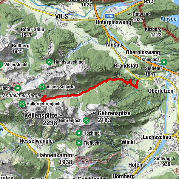
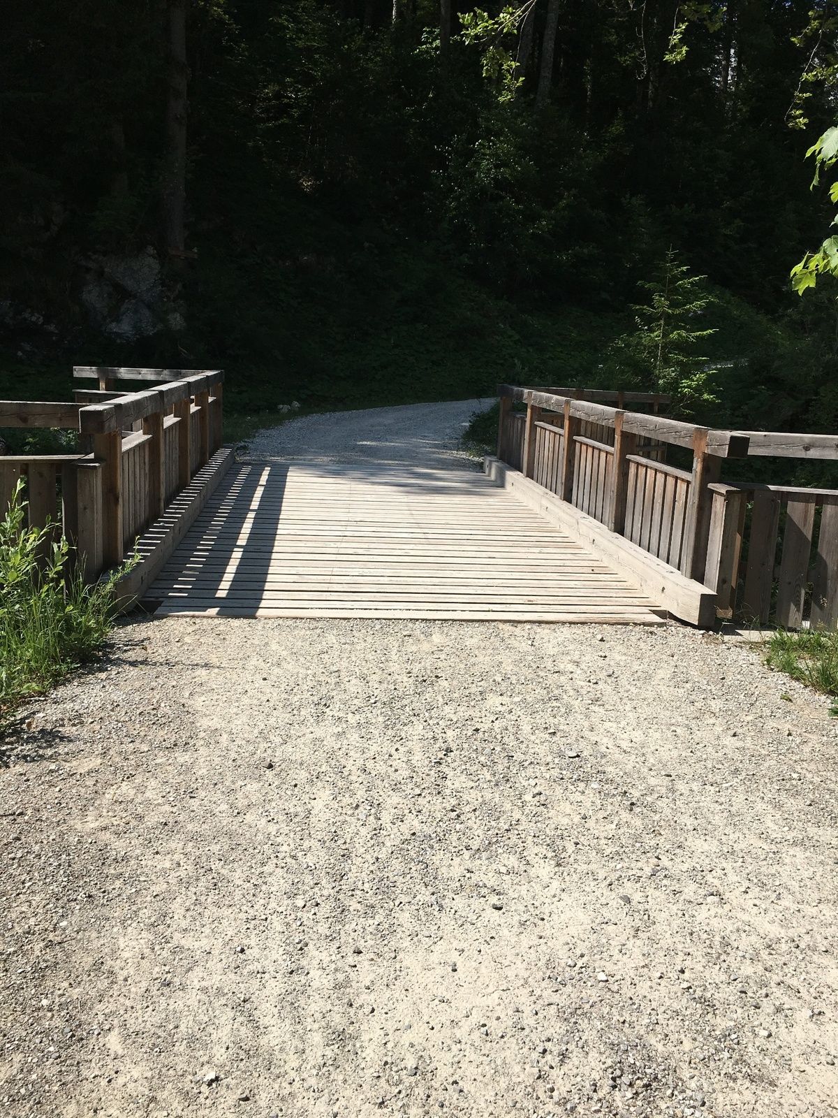
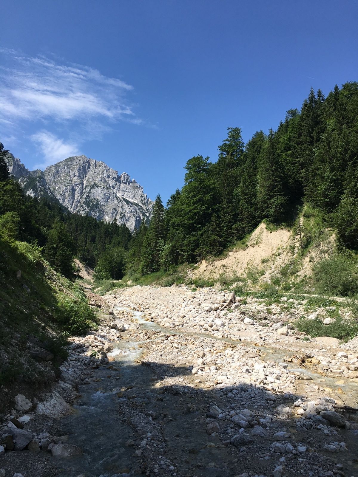
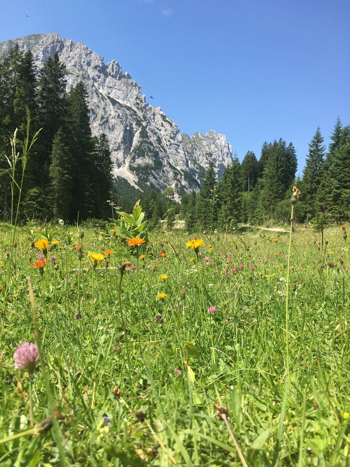
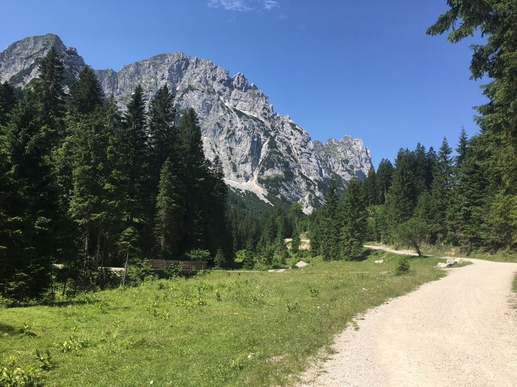
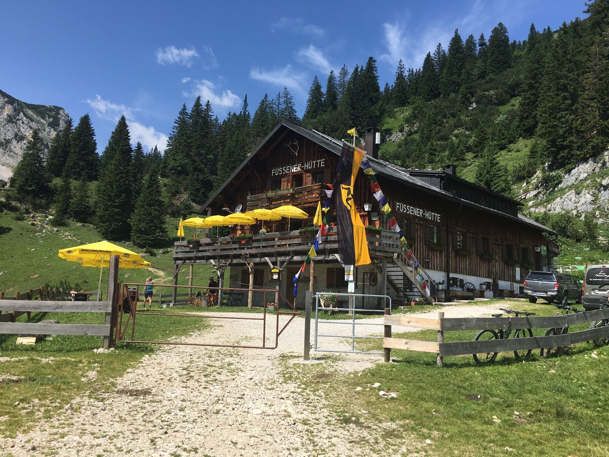
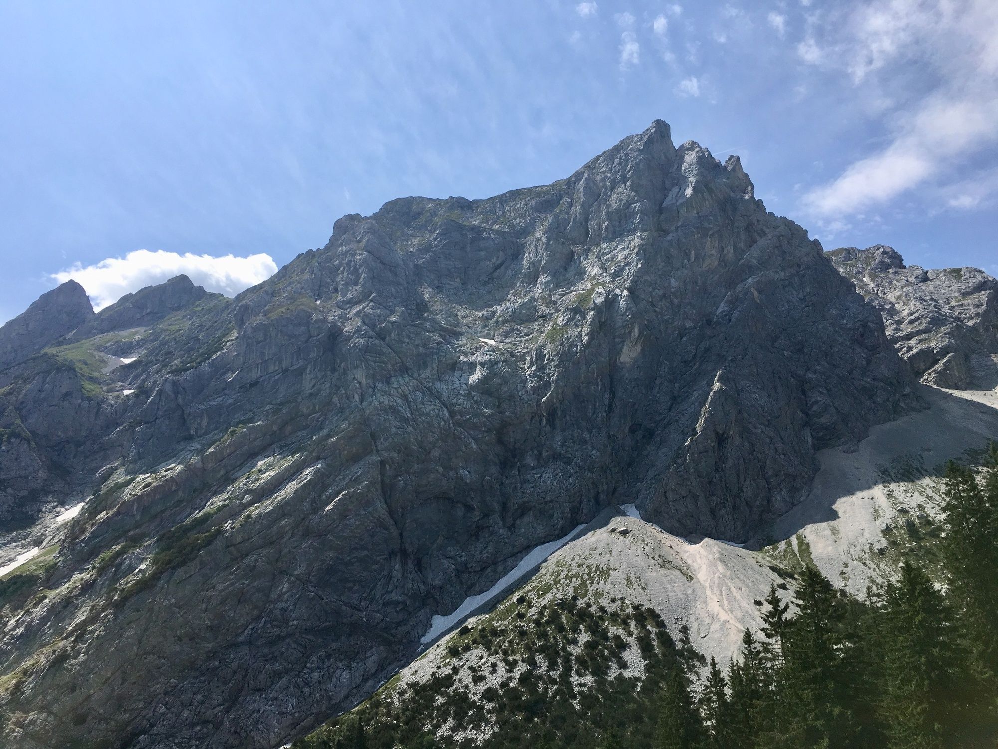
The hike to the Füssen hut follows easy paths into the world of the Tannheim mountains.
- Difficulty
-
medium
- Rating
-
- Starting point
-
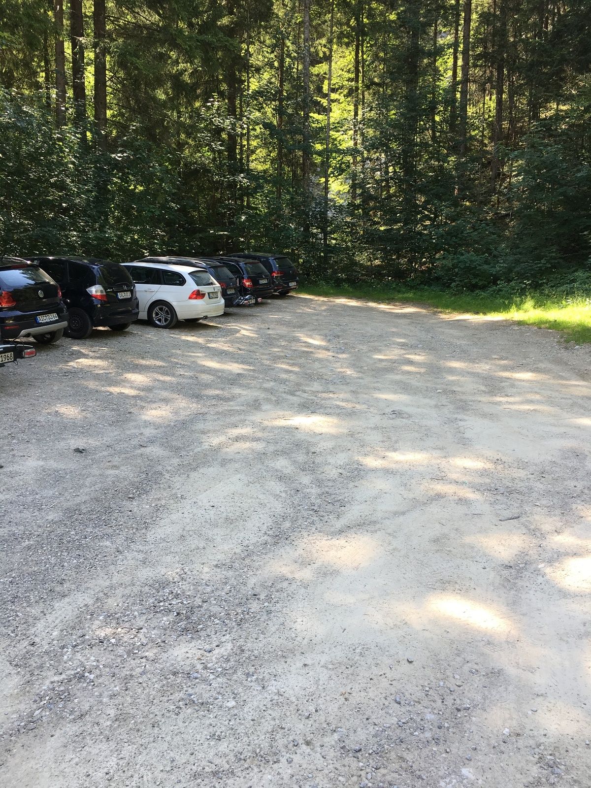
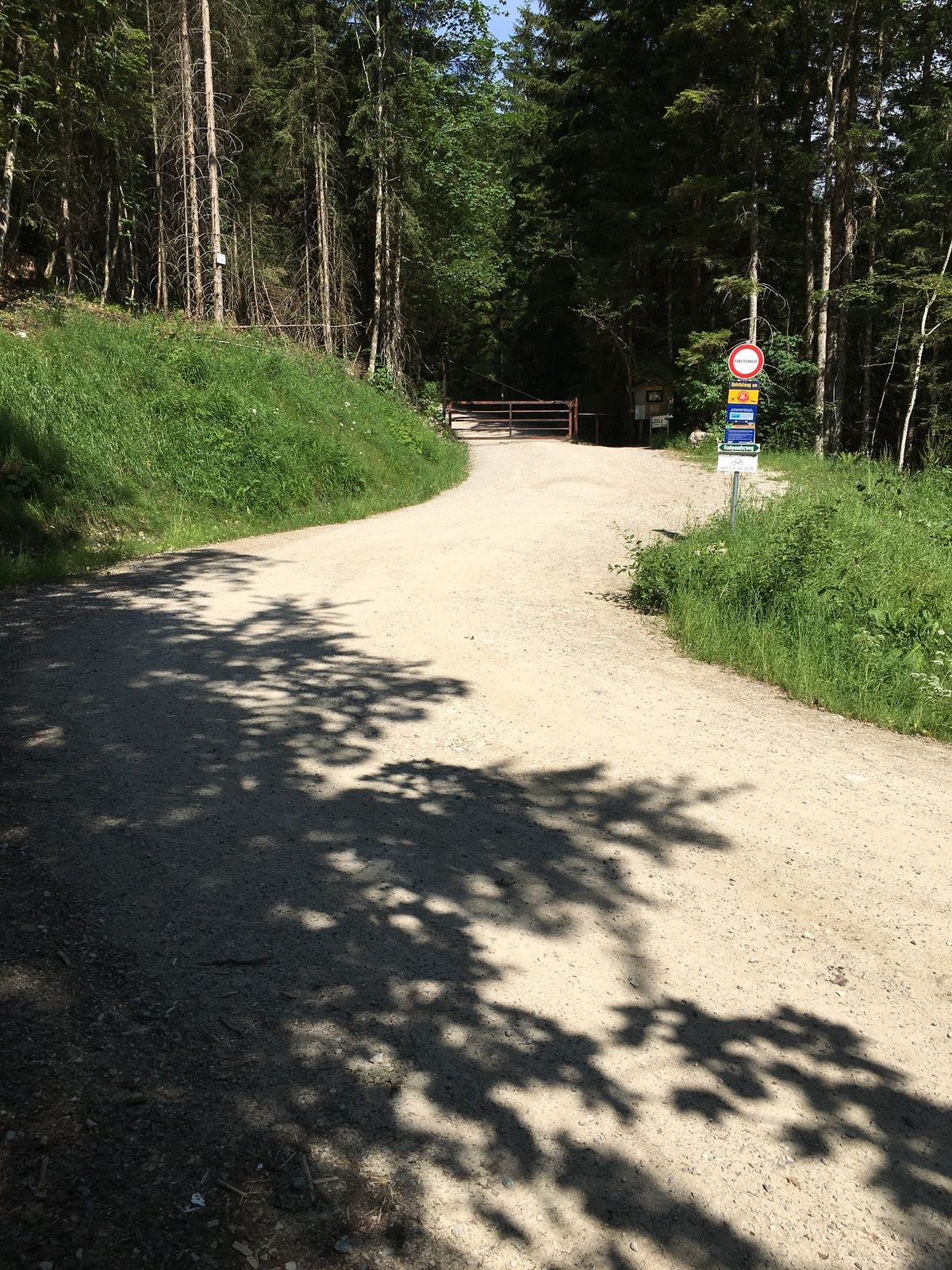
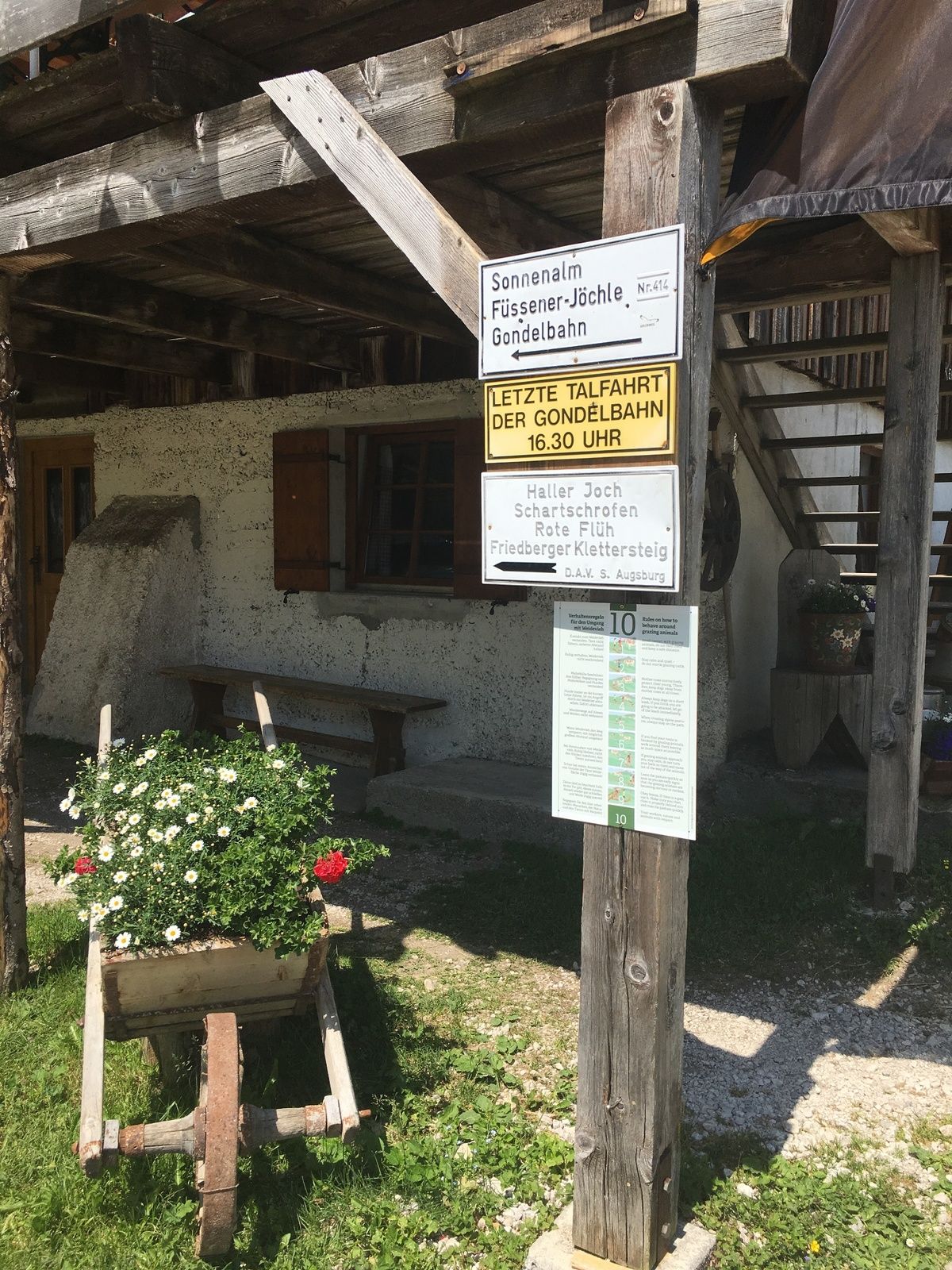
Roßschläg / parking lot Bärenfalle
- Route
-
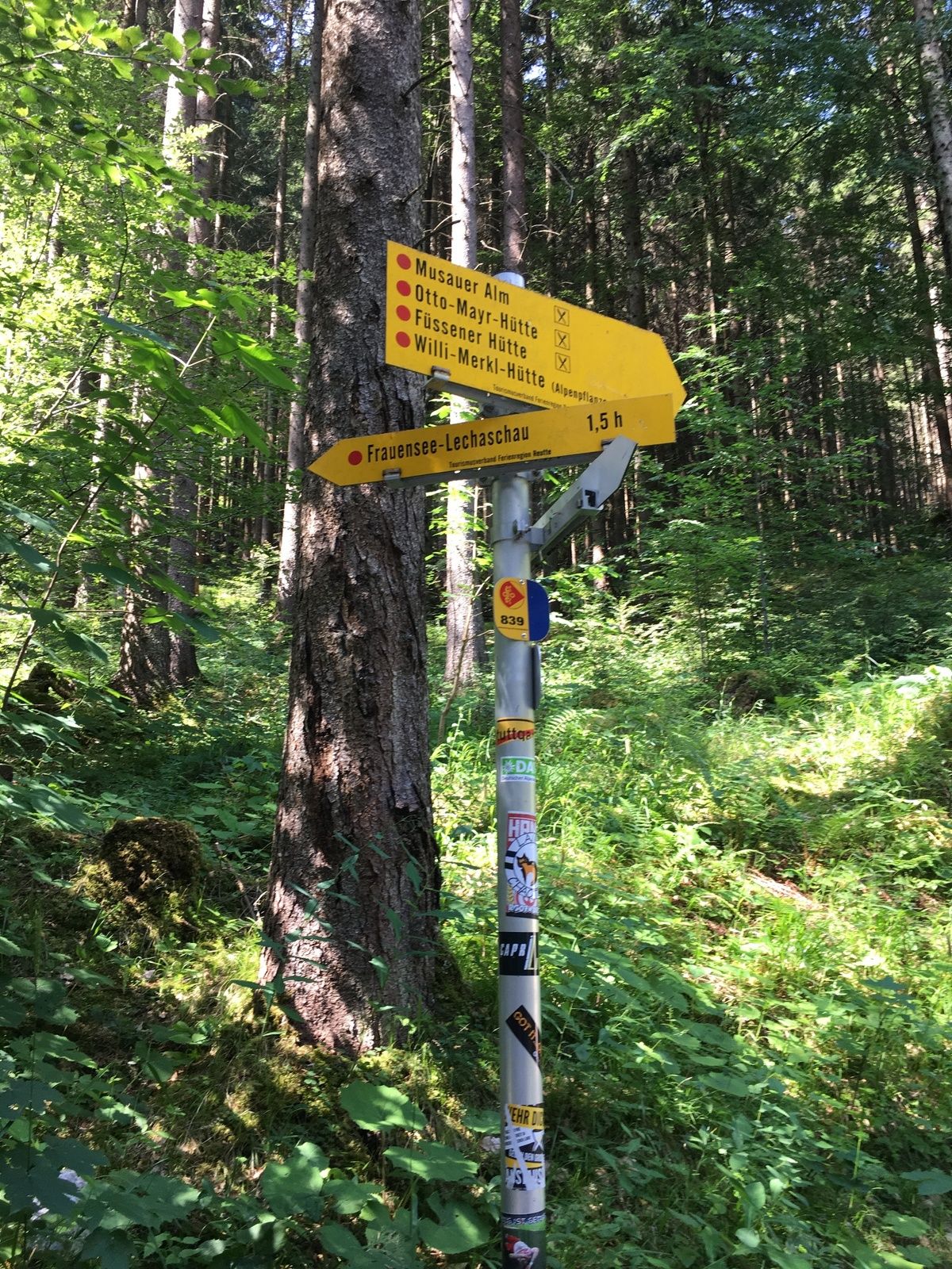
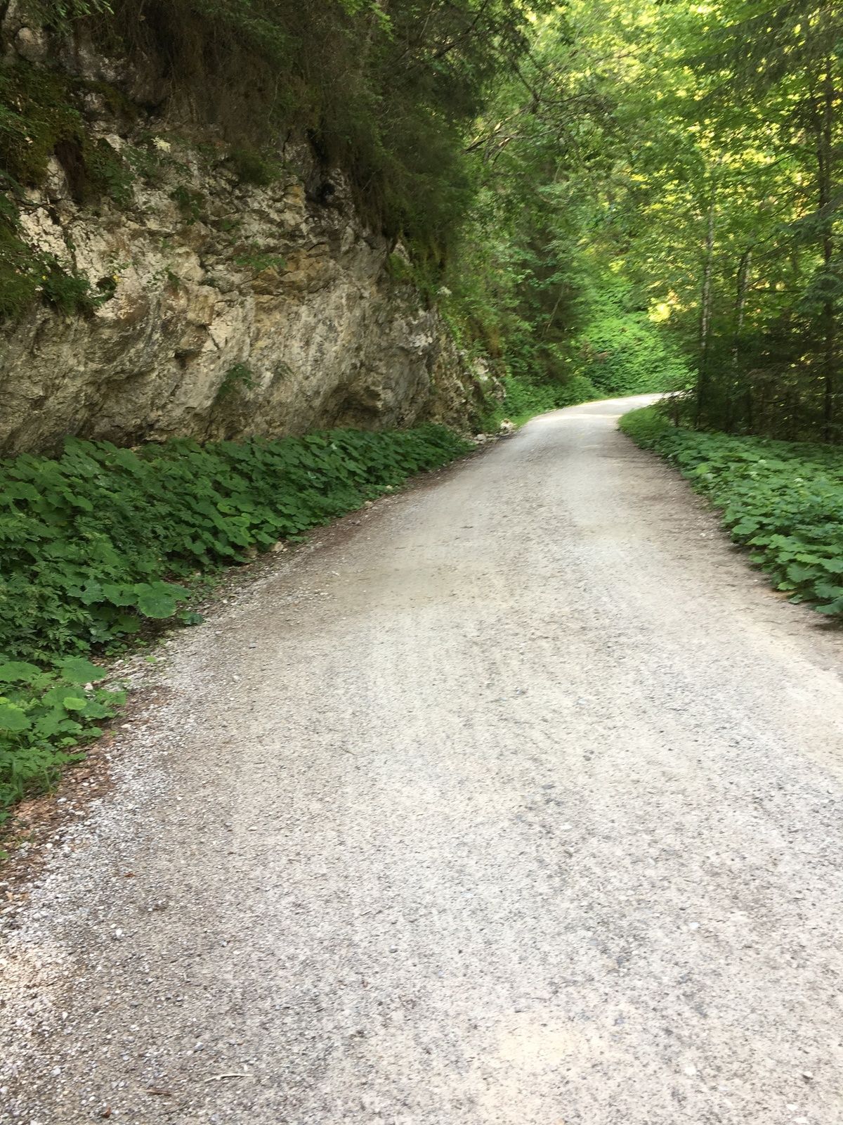
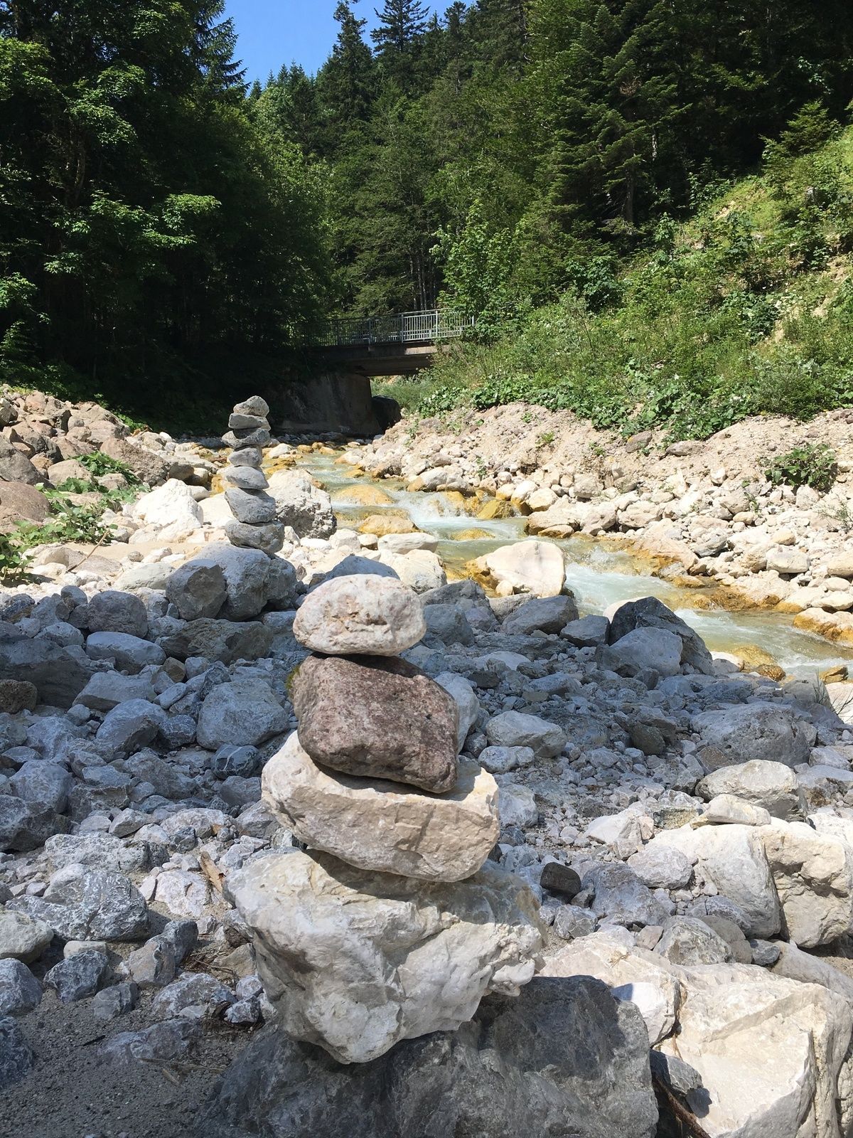
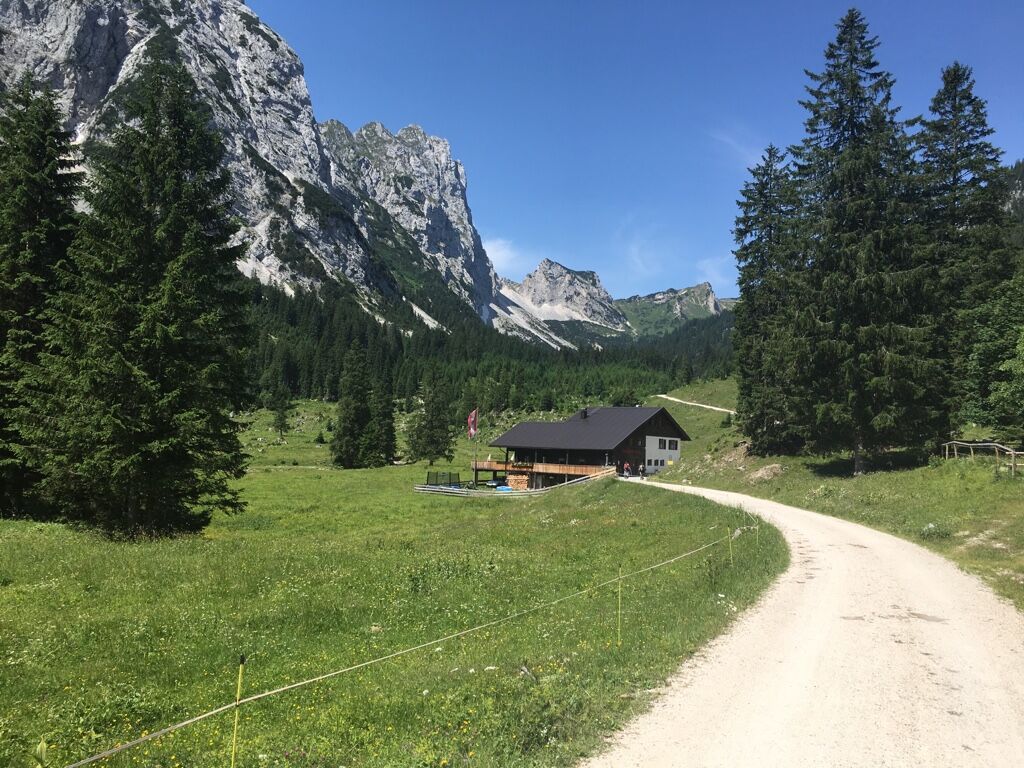
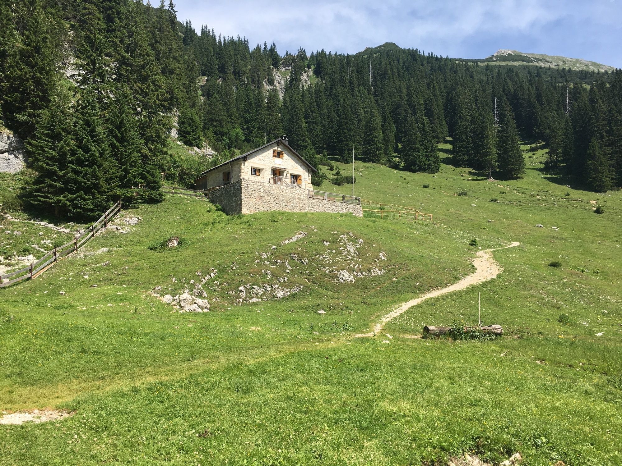
Bärenfalle0.0 kmReintal3.4 kmMusauer Alm5.1 kmFüssener Hütte7.9 kmMusauer Alm10.4 kmReintal12.2 kmBärenfalle15.7 km
- Best season
-
JanFebMarAprMayJunJulAugSepOctNovDec
- Highest point
- 1,538 m
- Endpoint
-
Roßschläg / parking lot Bärenfalle
- Height profile
-

- Tips
-
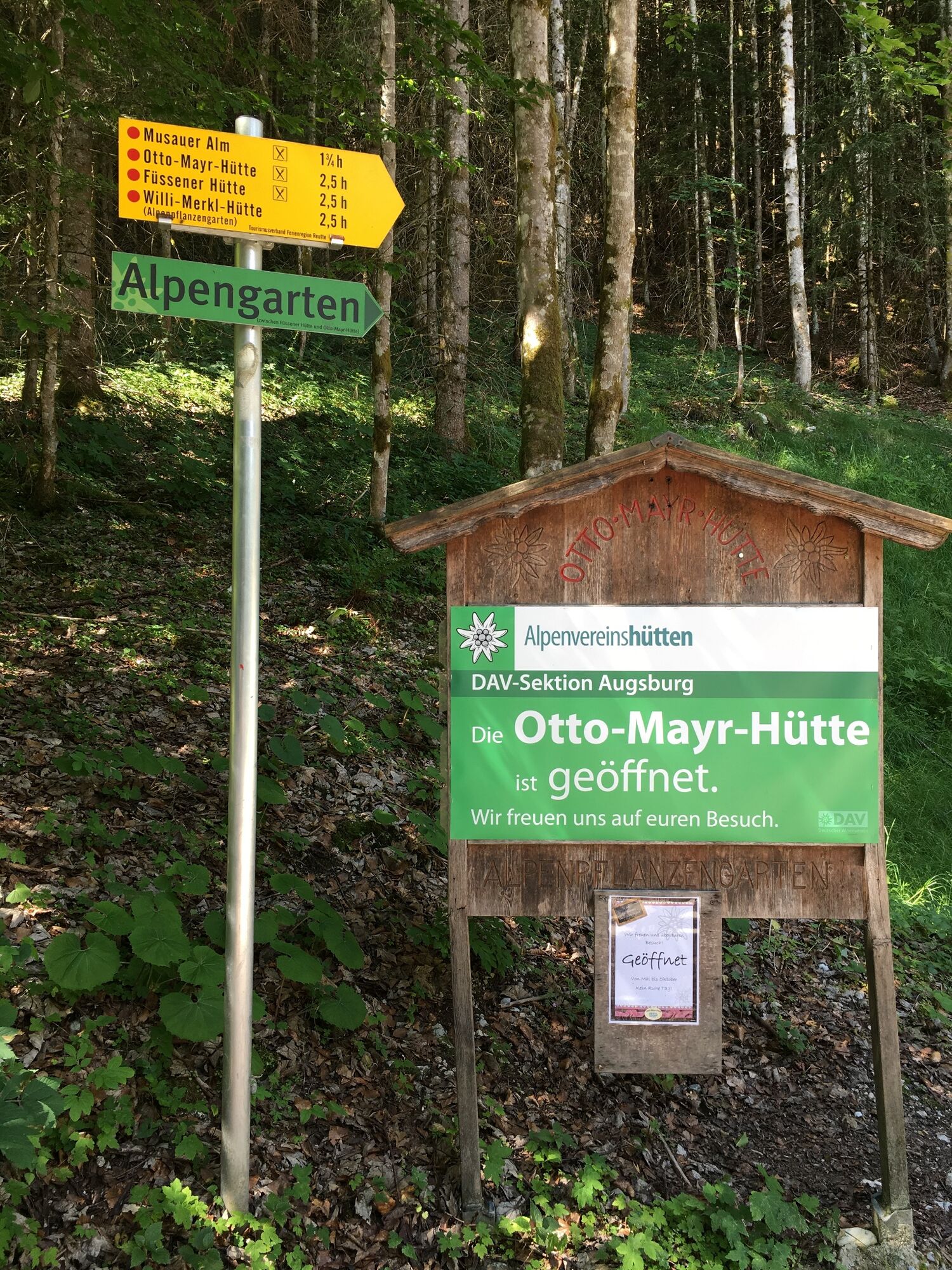
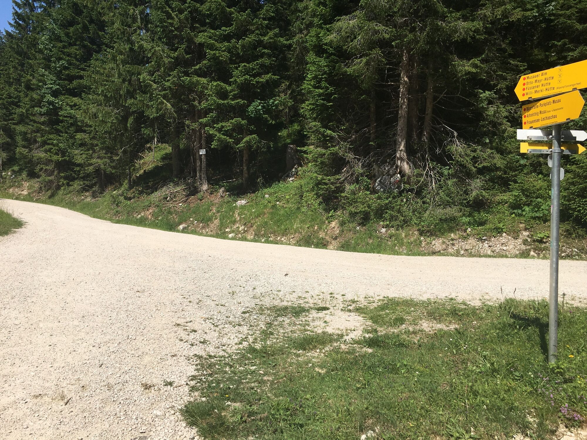
A few minutes after reaching the Musauer Alm hut, a signposted turnoff leads to the right through a climb in the forest, which ends directly at the hut Otto-Mayr and offers a change from the road. Arrived at the end of the climb, you can already see the Füssen hut and enjoy the well-deserved stop there.

- Author
-
The tour Raintal Tour to the Füssener Hut is used by outdooractive.com provided.
GPS Downloads


General info
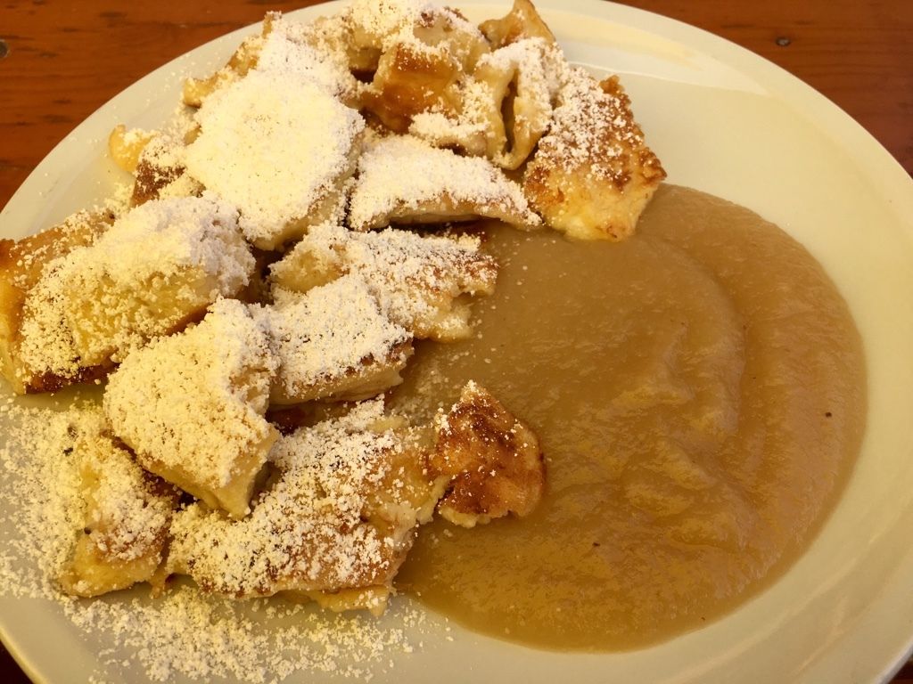
Refreshment stop
Insider tip
A lot of view
Other tours in the regions
-
Allgäu
2357
-
Naturparkregion Reutte
1432
-
Musau
623