


- Brief description
-
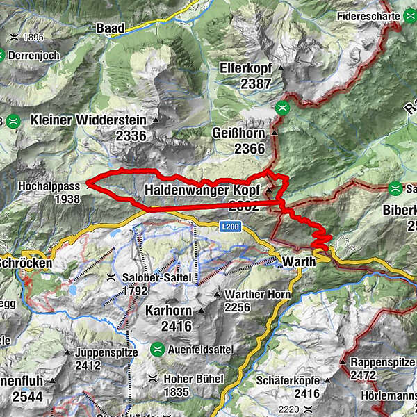
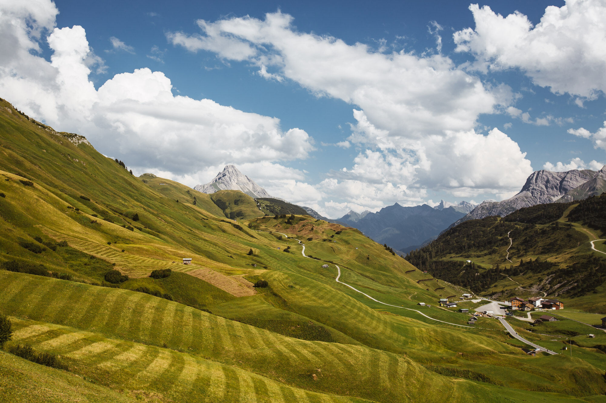
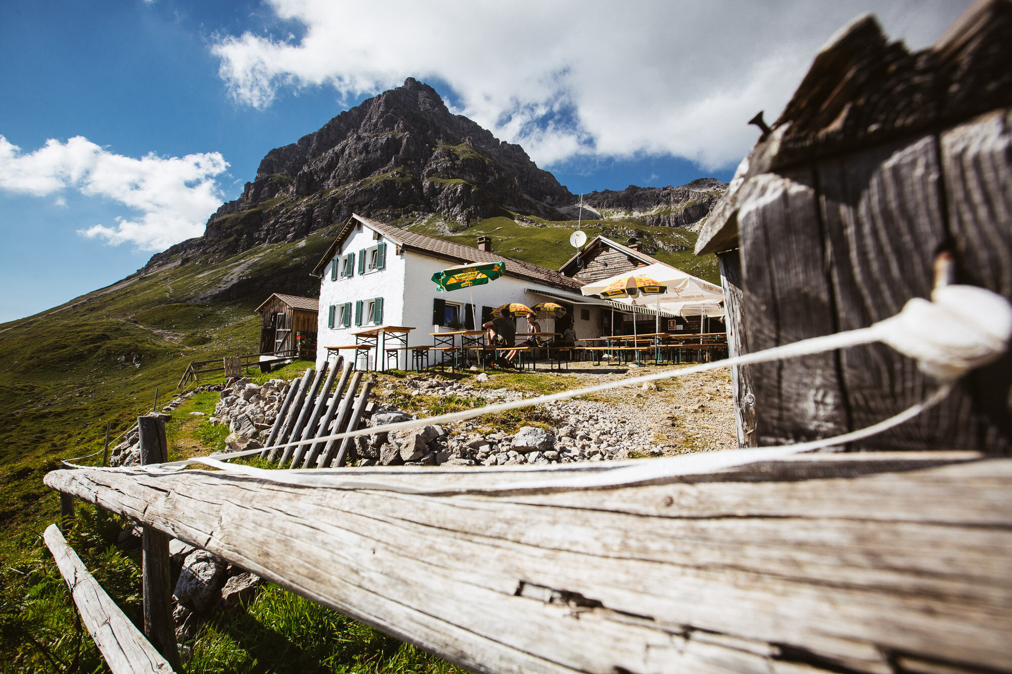
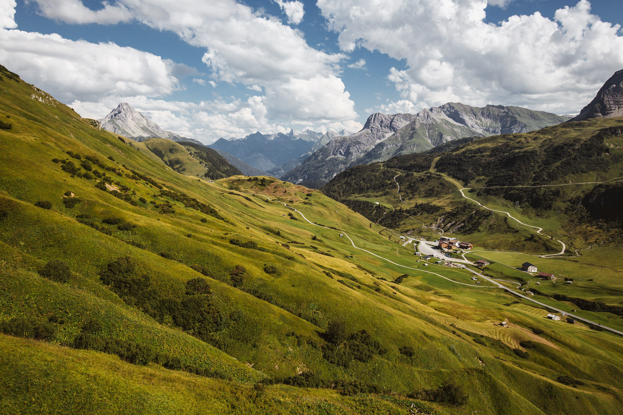
The hiking bus takes you comfortably to the bus stop “Gehren. ” From here you follow the municipal trail to the last house in Gehren, where you will find the entrance towards Gehrnerberg. Continue following the signs towards Koblatpass. You have already reached the first pass, continue to the Gemstelpass towards Widdersteinhütte. The gigantic view of the Hochtannbergpass is perfect for a short break in the Widdersteinhütte. From here the trail continues to the left towards Hochalppass. After reaching the Hochalppass, the descent follows to the Hochtannbergpass, where you can take the bus back.
- Difficulty
-
medium
- Rating
-
- Starting point
-
Gehren
- Route
-
Gehren0.3 kmHl. Nikolaus0.5 kmSchärtle (1,945 m)6.5 kmWiddersteinhütte7.8 kmSeekopf (2,039 m)9.0 kmBärgunt-Hütte9.5 kmHochalppass (1,938 m)9.9 kmHirschgehrenalpe14.0 km
- Best season
-
JanFebMarAprMayJunJulAugSepOctNovDec
- Description
-
Touring.
Gehren - Gehrnerberg - Koblatpass - Gemstelpass - Widdersteinhütte - Hochalppass - Hochtannbergpass
- Directions
-
Touring.
Gehren - Gehrnerberg - Koblatpass - Gemstelpass - Widdersteinhütte - Hochalppass - Hochtannbergpass
- Highest point
- 2,031 m
- Endpoint
-
Hochtannbergpass
- Height profile
-

- Equipment
-
This should never be missing on the mountain.
Backpack, First-Aid Set incl. Bladder plaster, telephone with emergency number, cash, drinking bottle, pocket knife, provisions, sun protection in good weather.
- Safety instructions
-
Emergency numbers.
140 - Alpine emergencies throughout Austria
144 - Alpine emergencies in Vorarlberg
112 - Euro emergency call
- Additional information
- Directions
- Public transportation
- Parking
-

-
AuthorThe tour 3 Passes Tour (Koblat, Gemstel and Hochalp pass) is used by outdooractive.com provided.


General info
-
Kleinwalsertal
2055
-
Mittelberg
601


