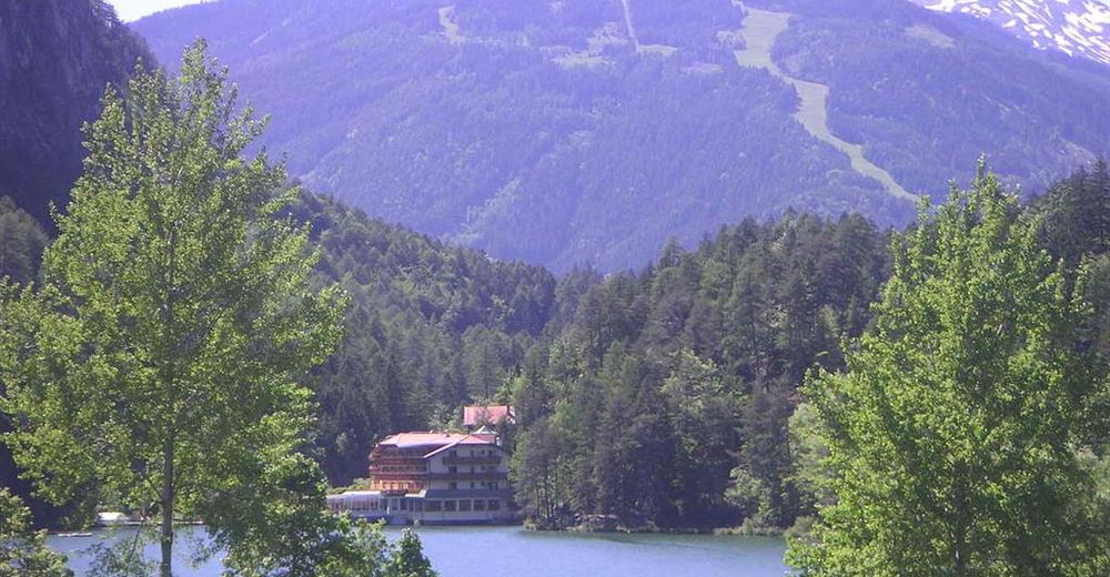
© Österreichs Wanderdörfer - Bernhard Pichler
Tour data
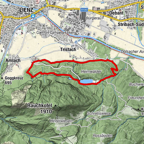
8.14km
661
- 889m
240hm
247hm
02:31h

Österreichs Wanderdörfer
- Difficulty
-
medium
- Rating
-
- Route
-
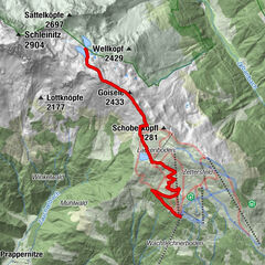
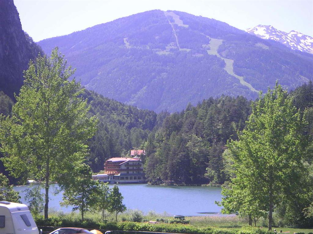
Ulrichsbichl0.0 kmGasthaus Seewiese3.6 kmTristach7.0 kmUlrichsbichl (686 m)8.1 km
- Best season
-
JanFebMarAprMayJunJulAugSepOctNovDec
- Highest point
- 889 m
- Endpoint
-
Ulrichsbichl, Amlach
- Height profile
-

-

-
AuthorÖsterreichs WanderdörferThe tour Tristachersee-Runde is used by outdooractive.com provided.
GPS Downloads


General info
Flora
Other tours in the regions