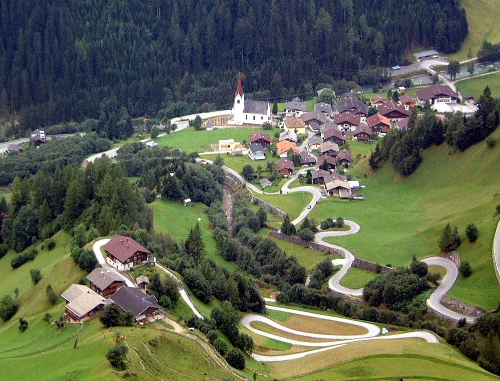
© Österreichs Wanderdörfer - Bernhard Pichler
Tour data
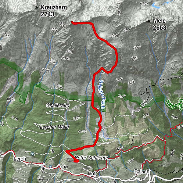
7.05km
1,561
- 2,681m
1,122hm
1,116hm
03:27h

Österreichs Wanderdörfer
- Difficulty
-
difficult
- Rating
-
- Route
-
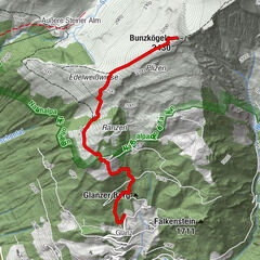
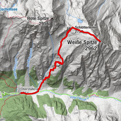
Stanzling (2,715 m)3.5 km
- Best season
-
JanFebMarAprMayJunJulAugSepOctNovDec
- Highest point
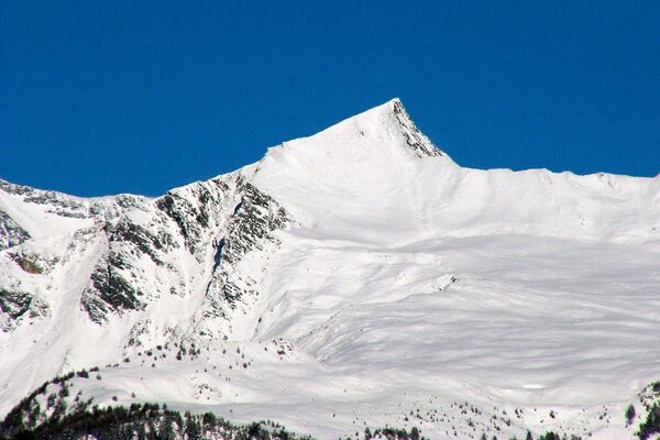
- 2,681 m
- Endpoint
-
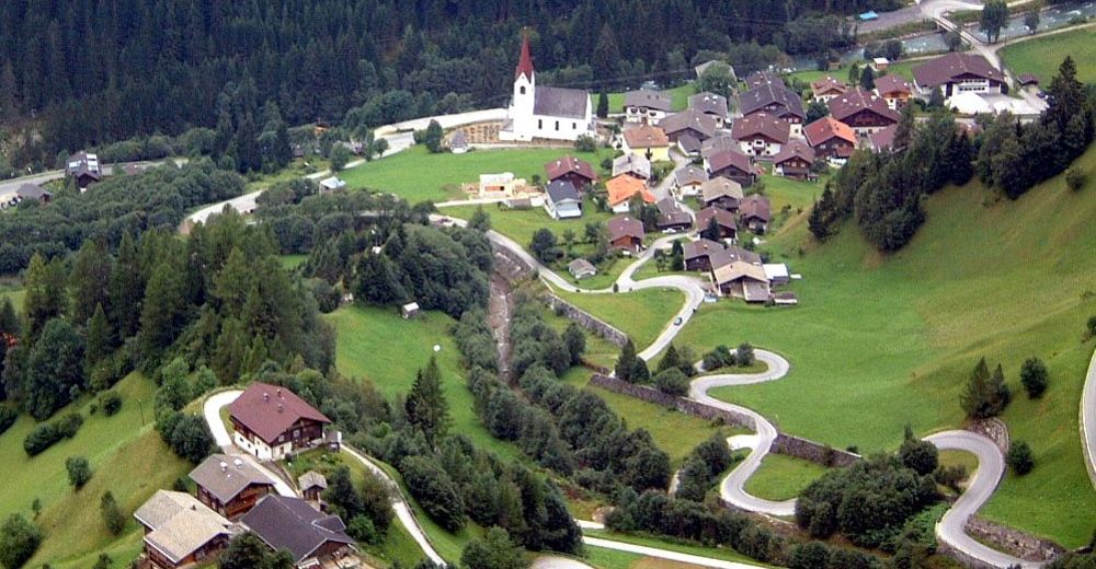
Stanzling
- Height profile
-

-

-
AuthorÖsterreichs WanderdörferThe tour Stanzling is used by outdooractive.com provided.
GPS Downloads


General info
Flora
Fauna
A lot of view
Other tours in the regions