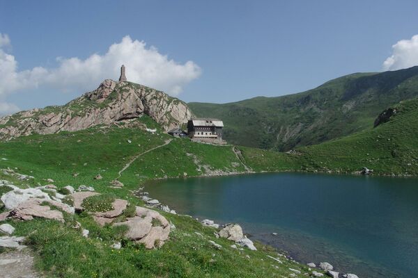
© Österreichs Wanderdörfer - Bernhard Pichler
Tour data
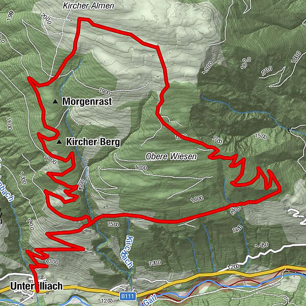
11.62km
1,262
- 2,036m
816hm
583hm
04:06h

Österreichs Wanderdörfer
- Difficulty
-
easy
- Rating
-
- Route
-
Untertilliach0.0 kmHeiliger Ingenuin und Albuin2.3 kmKircher Berg4.5 km
- Best season
-
JanFebMarAprMayJunJulAugSepOctNovDec
- Highest point
- 2,036 m
- Endpoint
-
Untertilliach
- Height profile
-

-

-
AuthorÖsterreichs WanderdörferThe tour Kircher Alm is used by outdooractive.com provided.
GPS Downloads


General info
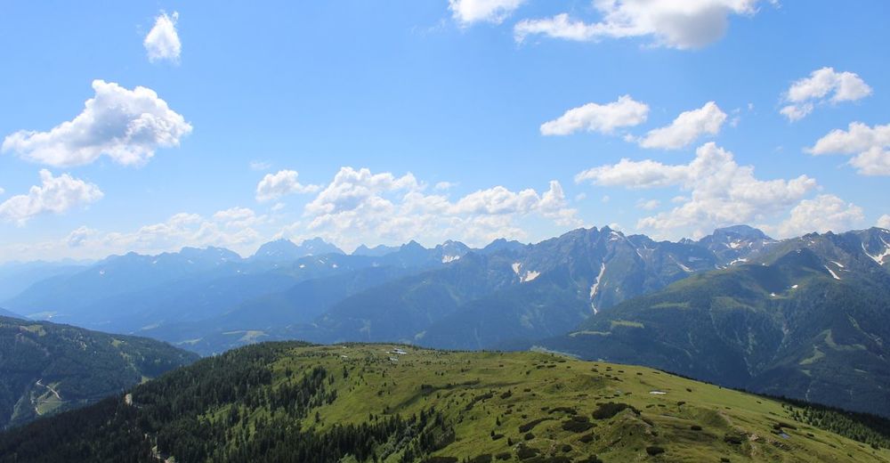
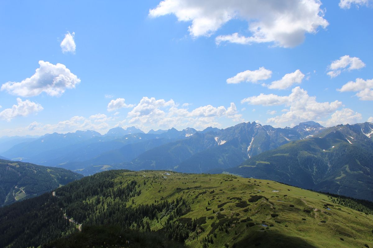
A lot of view
Other tours in the regions