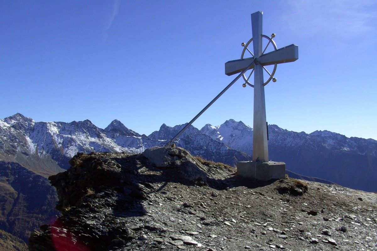
© Österreichs Wanderdörfer - Bernhard Pichler
Tour data
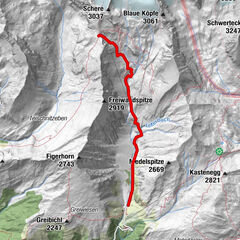
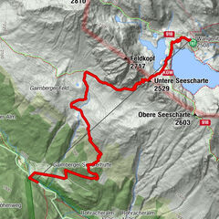
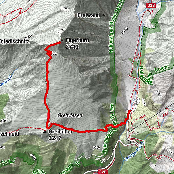
6.71km
1,916
- 2,726m
796hm
803hm
03:45h

Österreichs Wanderdörfer
- Brief description
-
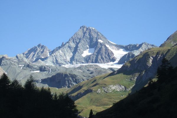
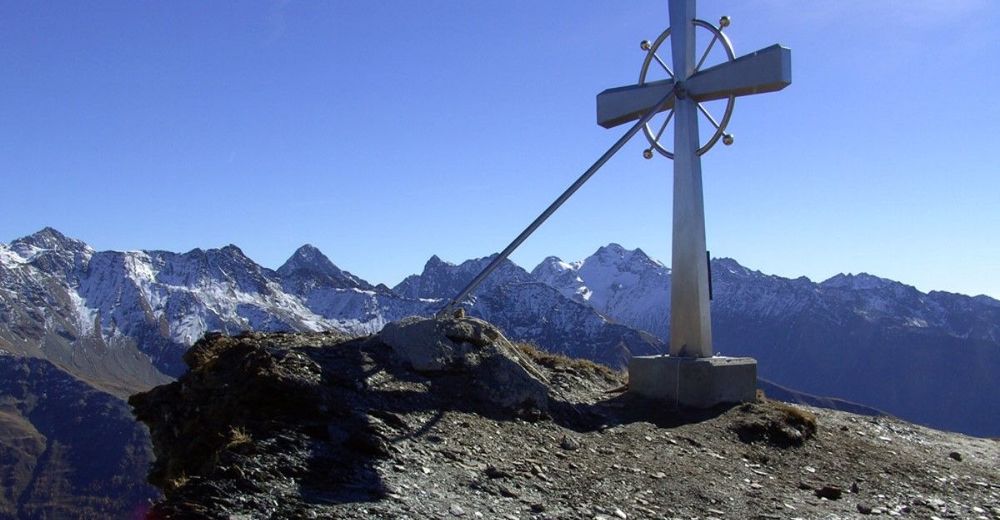
Hausberg der Kalser!
- Difficulty
-
medium
- Rating
-
- Route
-
Lucknerhaus (1,918 m)0.1 kmFigerhorn (2,743 m)3.4 kmLucknerhaus (1,918 m)6.6 km
- Best season
-
JanFebMarAprMayJunJulAugSepOctNovDec
- Highest point
- 2,726 m
- Endpoint
-
Figerhorn
- Height profile
-

-

-
AuthorÖsterreichs WanderdörferThe tour Figerhorn is used by outdooractive.com provided.
GPS Downloads


General info
A lot of view
Other tours in the regions