
- Brief description
-
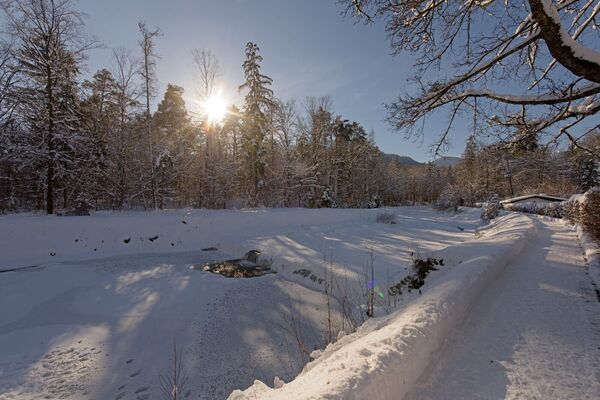
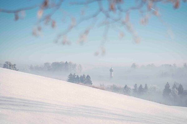
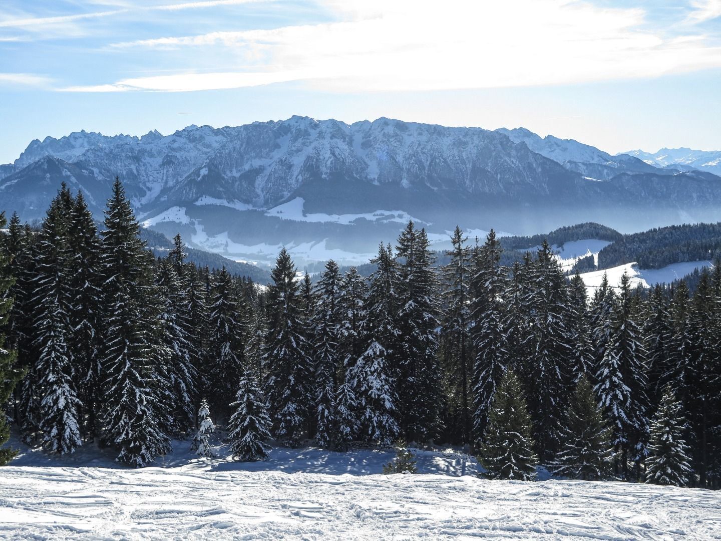
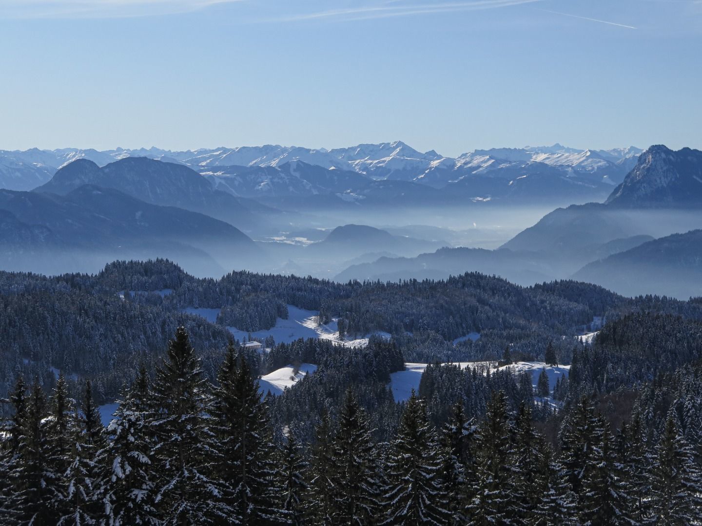
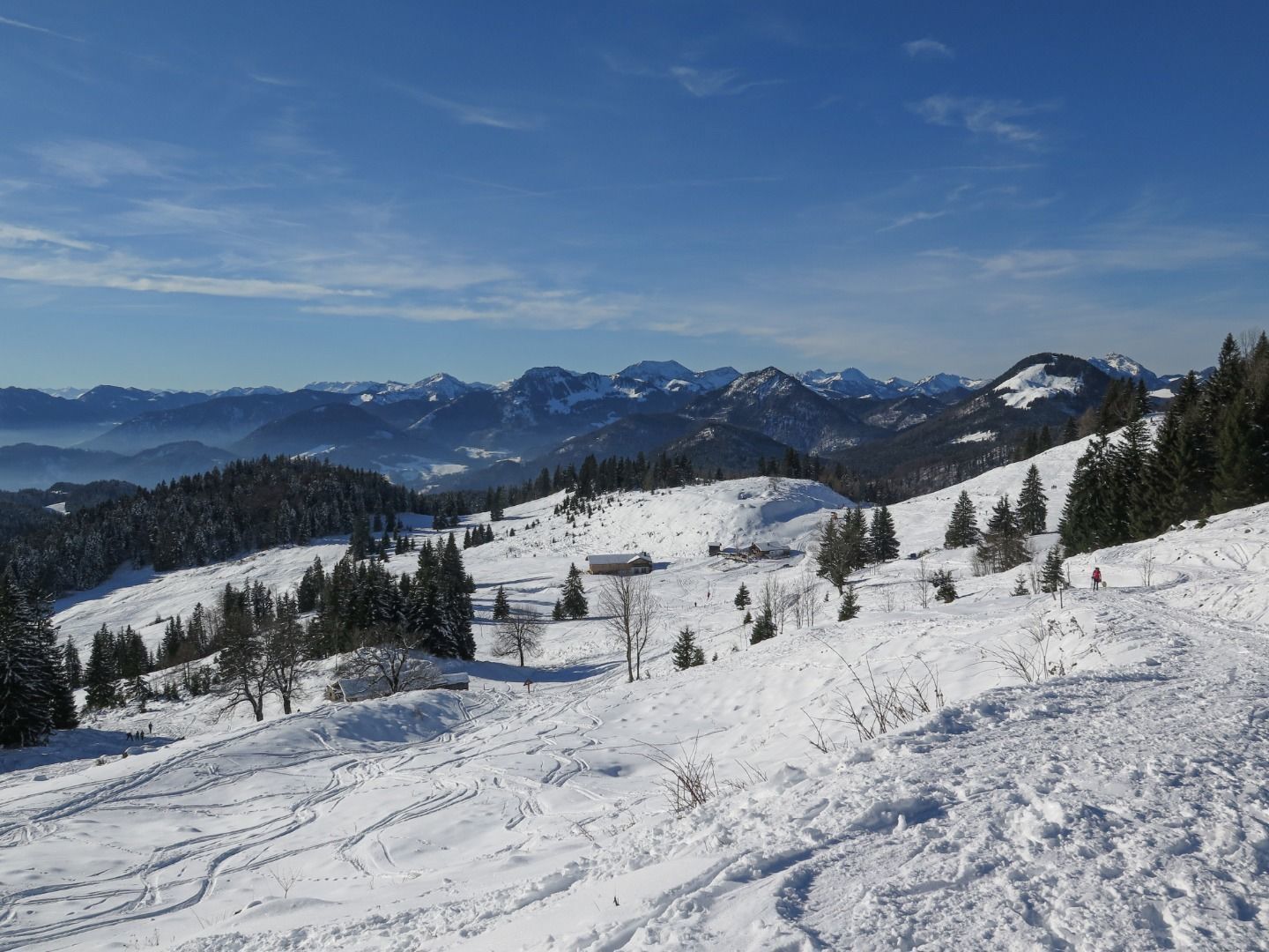
Sunny winter hiking with a fantastic view to the Kaiser Mountains and rewarding refreshment stops that leave you spoilt for choice.
- Difficulty
-
medium
- Rating
-
- Starting point
-
Parking place Erlerberg
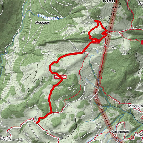
- Route
-
Spitzsteinhaus2.8 kmAltkaser Alm2.9 km
- Best season
-
AugSepOctNovDecJanFebMarAprMayJunJul
- Description
-
Starting at the parking "Erlerberg" follow the street in the direction of Spitzsteinhaus. After around 300m turn left on to the groomed way in the direction of Gogl-Alm, Spitzsteinhaus and Altkaser Alm. Follow this way through snowy meadows until you reach the Gogl-Alm, which is closed in winter. A little bit above the way leads you towards a crossover where you keep straight towards the Spitzsteinhaus. There you can decide whether to stop over there or to follow the way a few meters more and stop at the Altkaser Alm. After catch some power you follow the way back downwards to the parking.
- Highest point
- 1,271 m
- Endpoint
-
Parking place Erlerberg
- Height profile
-

- Equipment
-
Sturdy footwear with a good profile,
Clothing adapted to winter temperatures (warm, breathable, etc.),
Food and drink,
First aid equipment,
Mobile phone with full battery,
Hiking map and guide literature,
Sun protection (sunglasses, sunscreen and cap),
Telescopic poles,
Shoe spikes for walking on ice or snow - Directions
-
In the village center of Erl you stop diagonally opposite the village bakery and turn into the road towards Erlerberg. It is clearly marked with signs in the direction of Kranzhorn Alm & Spitsteinhaus. Follow this road always uphill, keep right at the fork to Kranzhorn Alm and follow the road in many curves further to the parking lot.
- Public transportation
-
There is no possibility to reach the starting point by public transport.
- Parking
-
Parking lot Erlerberg, free of charge.

- Author
-
The tour Winter hiking over the erlerberg is used by outdooractive.com provided.


-
Kufsteinerland
190
-
Niederndorferberg
39