

© Tourismusverband Region Hall-Wattens - Hall Wattens

© Tourismusverband Region Hall-Wattens - Hall Wattens

© Tourismusverband Region Hall-Wattens - Hall Wattens

© Tourismusverband Region Hall-Wattens - Hall Wattens

© Tourismusverband Region Hall-Wattens - Hall Wattens

© Tourismusverband Region Hall-Wattens - Hall Wattens

© Tourismusverband Region Hall-Wattens - Hall Wattens

© Tourismusverband Region Hall-Wattens - Hall Wattens

© Tourismusverband Region Hall-Wattens - Hall Wattens

© Tourismusverband Region Hall-Wattens - Hall Wattens
- Brief description
-
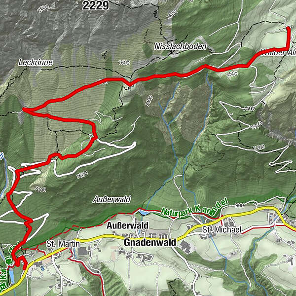
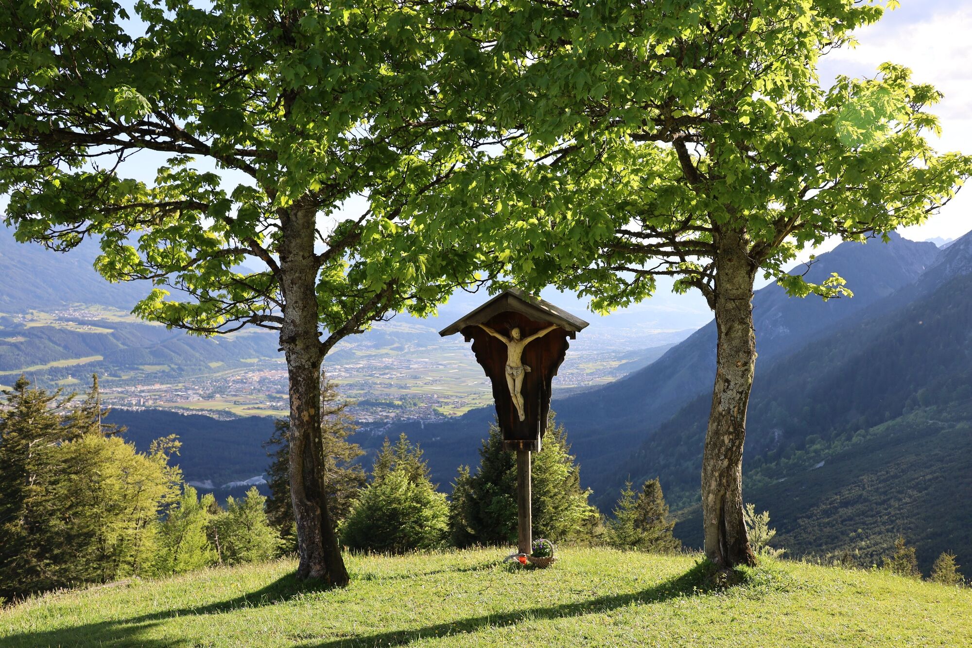
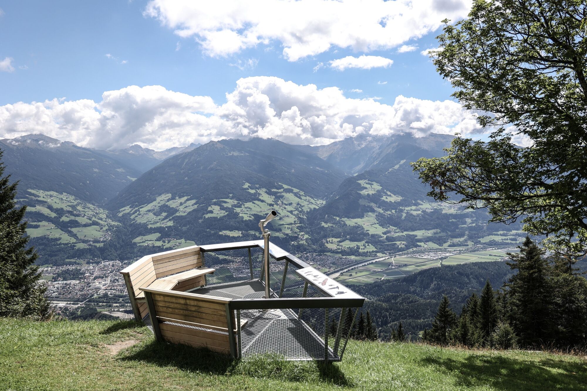
Wonderful Karwendel tour with many highlights. In addition to imposing views of the Inn valley and the mighty mountain ranges of the Tuxer Alps, flora and fauna of the Alps await you along the way. From the Gnadenwald Plateau you go to the Hinterhornalm and further to the Gandenwalder Alm Plateau. With a little luck you will see more than one golden eagle on this hike.
- Difficulty
-
medium
- Rating
-
- Route
-
Martlboden2.1 kmHinterhorn Alm3.8 kmWalder Alm5.6 km
- Best season
-
JanFebMarAprMayJunJulAugSepOctNovDec
- Description
-
From the Gnadenwald plateau you walk to the Hinterhornalm and on to the Gandenwalder Alm plateau. With a bit of luck you might see more than one golden eagle on the hike.
- Directions
-
From the car park at St. Martin (890 m) in Gnadenwald you follow the toll road at the beginning, but leave it after a short time and follow the signposted path towards Hinterhornalm (1,522 m). After about 1 1/2 hours you reach the Hinterhornalm. Here the view opens up shortly before and you can see the Inn valley and the Tuxer Alps.
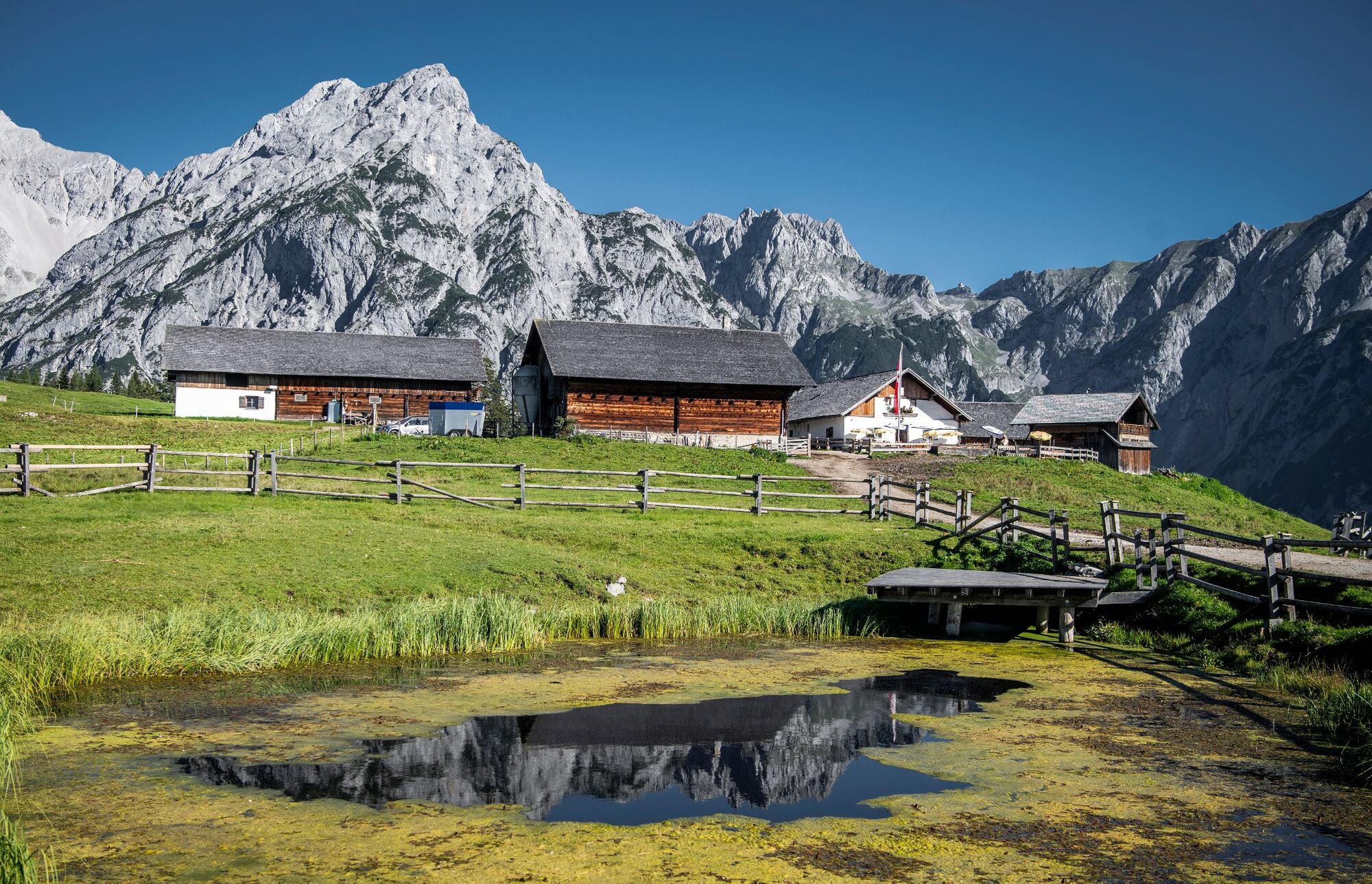
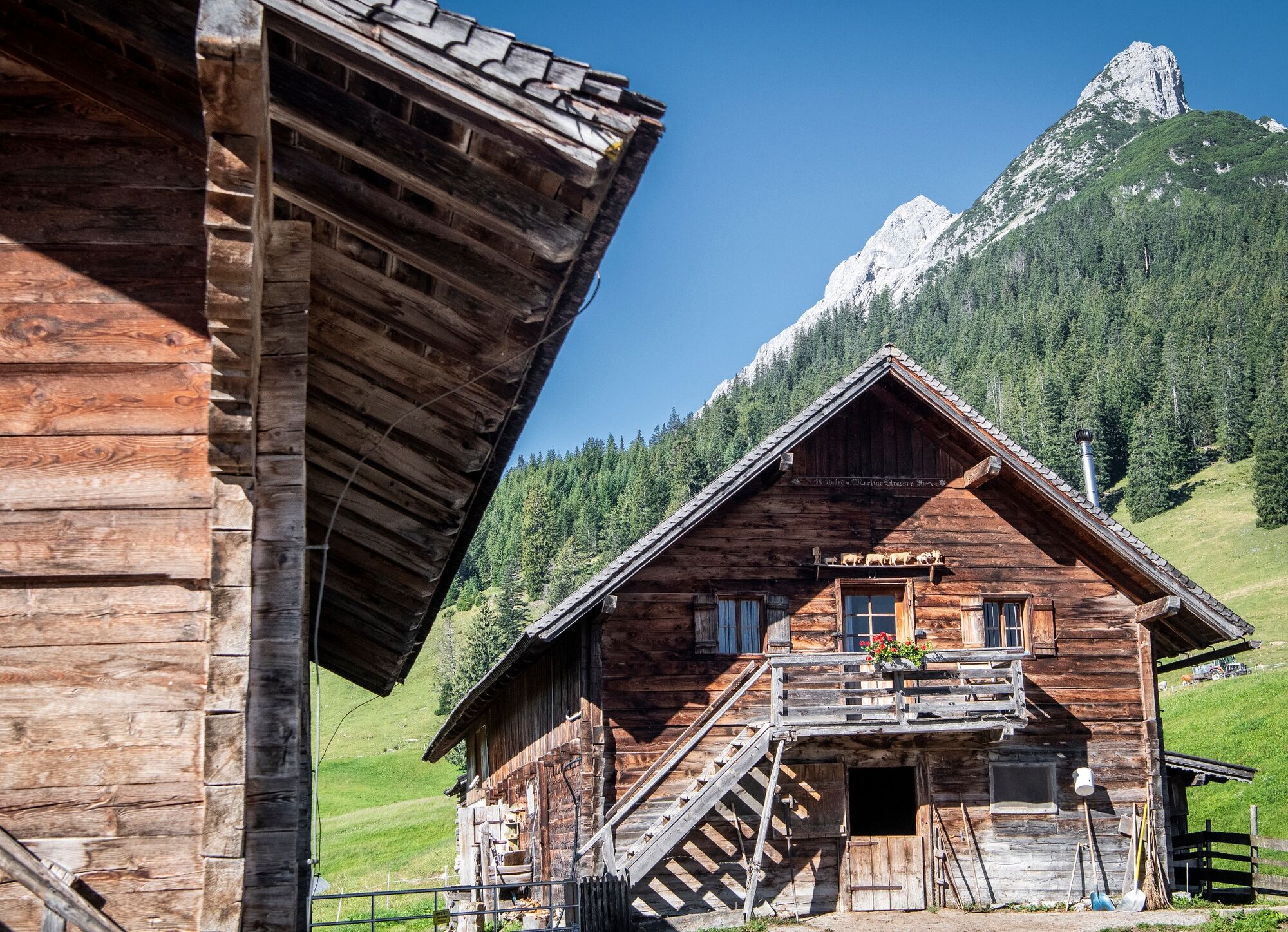
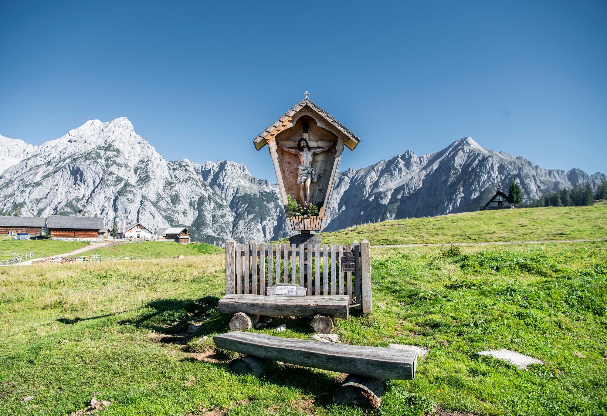
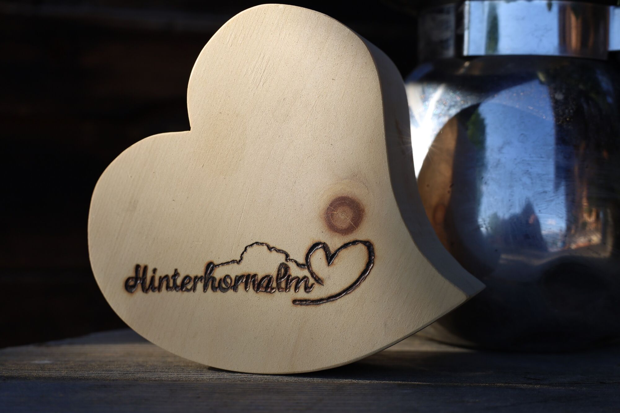
The path continues to the Walderalm. This rustic alp and the Karwendel behind is worth a photo opportunity!
The descent can be made along the same path as the ascent or shortly after the Walderalm in direction south. The forest path leads down to St. Michael, from where it then returns to the starting point at the forest line.
- Highest point
- 1,524 m
- Endpoint
-
Parkplatz Kloster St. Martin, Gnadenwald
- Height profile
-


- Author
-
The tour St. Martin - Hinterhornalm - Walderalm is used by outdooractive.com provided.
GPS Downloads


General info
Refreshment stop
Flora
Fauna
A lot of view
Other tours in the regions
-
Ferienregion Hall - Wattens
1479
-
Gnadenwald
351


