- Difficulty
-
medium
- Rating
-
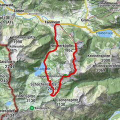
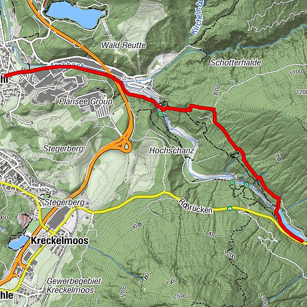
- Route
-
MühlKapelle St. Antonius0.0 km
- Best season
-
JanFebMarAprMayJunJulAugSepOctNovDec
- Highest point
- 1,006 m
- Endpoint
-
Frauenbrünnele
- Height profile
-

- Author
-
The tour Ministersteig is used by outdooractive.com provided.
GPS Downloads


General info
Insider tip
Flora
Fauna
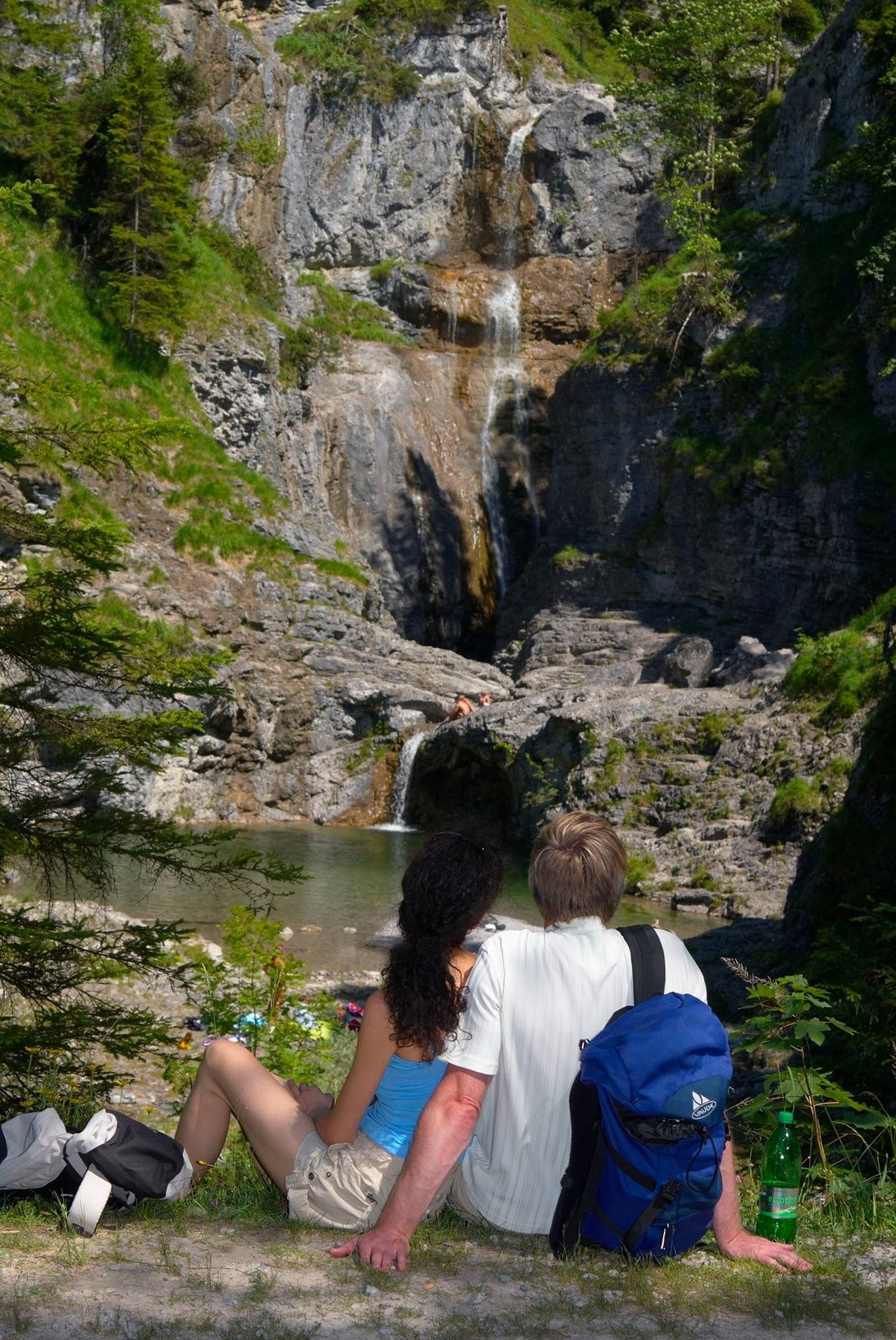
A lot of view
Other tours in the regions
-
Naturparkregion Reutte
1432
-
Breitenwang
505