


- Brief description
-
LÄNGENFELD/AU -> Winklen -> Riddle Path Winkelberg -> Winkelbergsee -> Winklen -> LÄNGENFELD/AU
- Difficulty
-
easy
- Rating
-
- Starting point
-
Winklen/Au
- Route
-
Winklen0.5 kmHexen-Höhle1.6 km
- Best season
-
JanFebMarAprMayJunJulAugSepOctNovDec
- Description
-
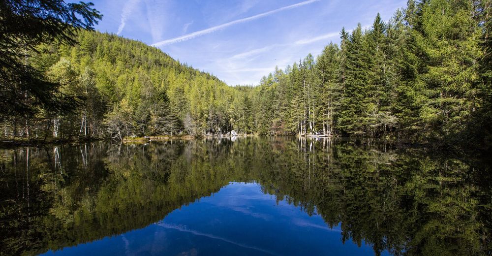
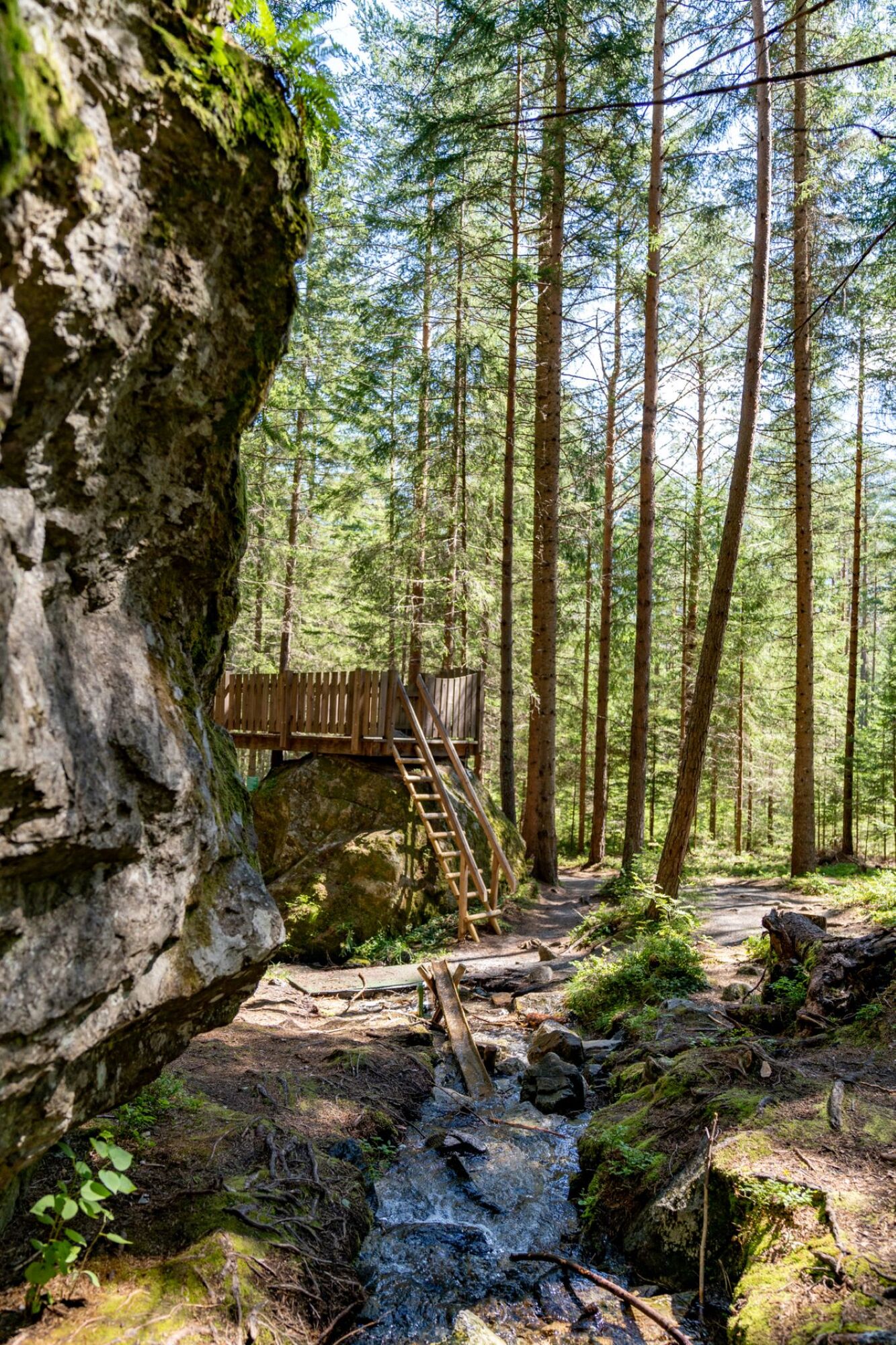
From the parking lot in Winklen / Au near Längenfeld, follow the road in the direction of Winklen to the Rätselweg signpost. The path leads through meadows at the beginning, but leads straight into dense forest in which granite boulders as high as a house are scattered. Although the huge rock fall was 10,000 years ago, the traces are still clearly visible today. The geology is explained in a child-friendly way along the way. A walk-in witch's house should not be missing in a "fairytale forest". There is a natural water playground right on the lake that awakens the joy of playing in young and old. The descent is via the forest path or a forest path back to Winklen to the parking lot.
- Directions
-
From the parking lot in Winklen / Au near Längenfeld the path leads over the Rätselweg and on through the forest to the Winkelbergsee. At Winkelbergsee there is a water playground that awakens the playfulness of young and old.
- Highest point
- 1,245 m
- Endpoint
-
Winklen/Au
- Height profile
-

- Equipment
-
Appropriate equipment such as breathable suitable outdoor clothes for the weather, ankle-high walking boots,
wind-, rain- & sun protection, hat, possibly gloves, is for all hikes and tours necessary. Please bring a first-aid
box, a mobile phone, a walking map and if there is no hut on the way a snack and enough to drink.
- Safety instructions
-
Easy hike; suitable for beginners and walkers. Please pay attention to the current weather report.
- Tips
-
Those who like to go on a treasure hunt will find what they are looking for here at Winkelberg. You can get the matching treasure map from the Längenfeld information office.
Since there is no rest stop on the whole way, we recommend to take a snack.
- Additional information
- Arrival
-
The car drive to the Ötztal valley. Situated in Tirol, the Ötztal valley set off in southerly direction and is the
longest side valley in the Eastern Alps. The journey with the car leads you through the Inntal valley to the
entrance of the valley and further on through the valley. Among the toll motorways you can also use the country
roads. A route planner will show you the easiest and most convenient way: https://www.google.at/maps
- Public transportation
-
Travel safe and comfortable with the train to the Ötztal Bahnhof train station. Last stop and exit point is the
train station Ötztal Bahnhof. Afterwards you can travel smoothly and quick with the public transport or our local
taxi companies through the valley to your desired destination. Please find the current bus timetable here:
http://fahrplan.vvt.at
- Parking
-
The following parking facilities are available in Längenfeld:
Parking in Au before the bridge / Elektro Optimal - free of charge


- Author
-
The tour Riddle Path Winkelberg - Längenfeld is used by outdooractive.com provided.


-
Ötztal
1108
-
Niederthai
385