
- Brief description
-
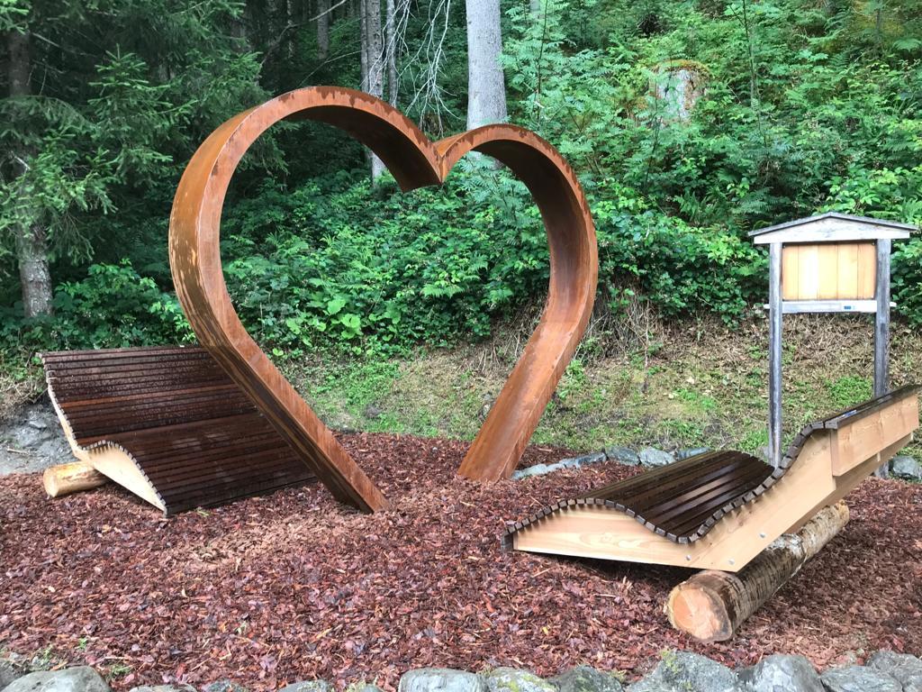
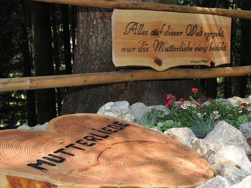
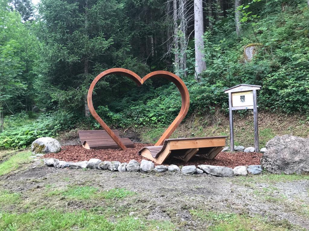
The looped trail is suitable for pushchairs / buggies and has several features: a pond, a fountain, a playground, several sculptures and areas to stop to rest. The gravel path is approx. 1,20 m wide along the whole course.
- Difficulty
-
easy
- Rating
-
- Starting point
-
Alpbach tourist office
- Route
-
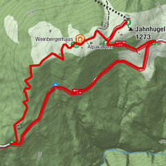
Alpbach (975 m)Heiligenkasten0.0 kmPfarrkirche Alpbach0.0 km
- Best season
-
JanFebMarAprMayJunJulAugSepOctNovDec
- Description
-
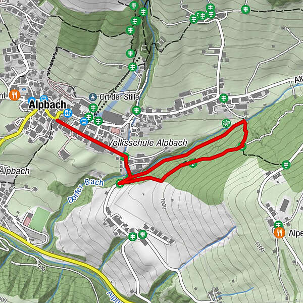
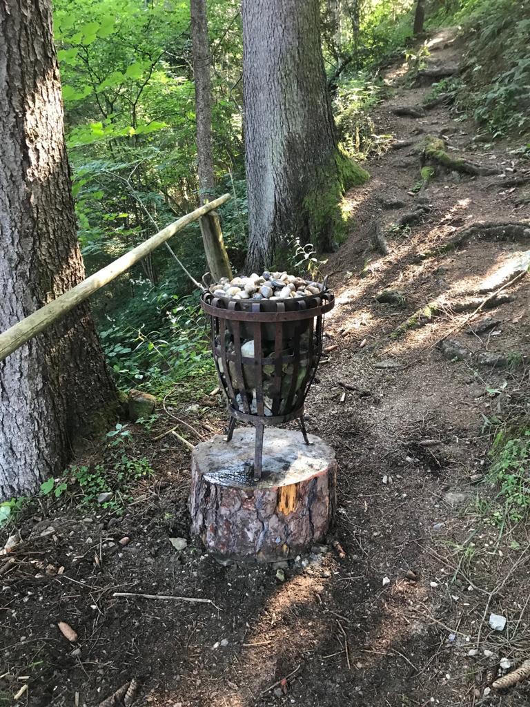
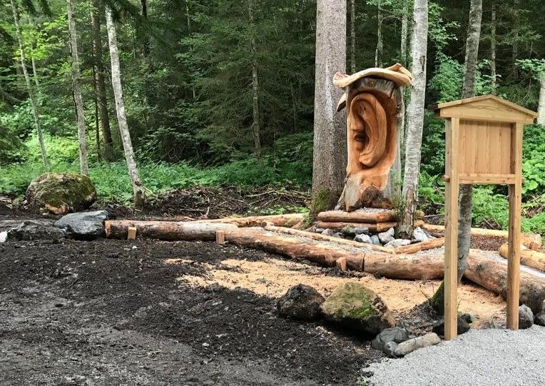
The Mühbach Path starts at the Mühlbach bridge. From the tourist office walk past the Hotel Alpbacherhof up until the Mühlbach bridge. The paths course follows the Mühlbach stream and leads past a herb garden (in summer) various sculptures, a pond area with water channel, millwheel, Kneipp basin and a small playground. Follow the uphill path past the “Point of Central Energy”, the cairns (stone stacks) and a further sculpture. From this point the path leads gently downhill over a 17m long wooden bridge past the “Well of Health” and back to the start at the Mühlbach bridge.
- Directions
-
Starting from the village centre - walk past the church, the tourist information office and past the Hotel Alpbacherhof up to the Mühlbach bridge (approx. 400m) - the entrance to the Path of Contemplation is to the left - its course follows the Mühlbach stream leads - past a herb garden (in summer) various sculptures and a playground and pond area - follow the path uphill (one reaches a junction that connects with the „Oberer Höhenweg“) - from here, the path leads downhill - past the “Well of Health” and “Point of Central Energy” - back to the start at the Mühlbach bridge.
- Highest point
- 1,021 m
- Endpoint
-
Alpbach tourist office
- Height profile
-

- Equipment
-
Sturdy shoes
- Directions
-
A12, motorway exit Kramsach/Brixlegg, towards Brixlegg, Alpbachtal to Alpbach
- Public transportation
- Parking
-
at the entrance to the village


- Author
-
The tour Mühlbach Path - Path of Contemplation is used by outdooractive.com provided.


General info
-
Alpbachtal
1502
-
Alpbach
494