- Brief description
-
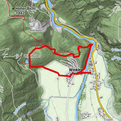
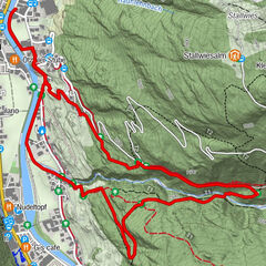
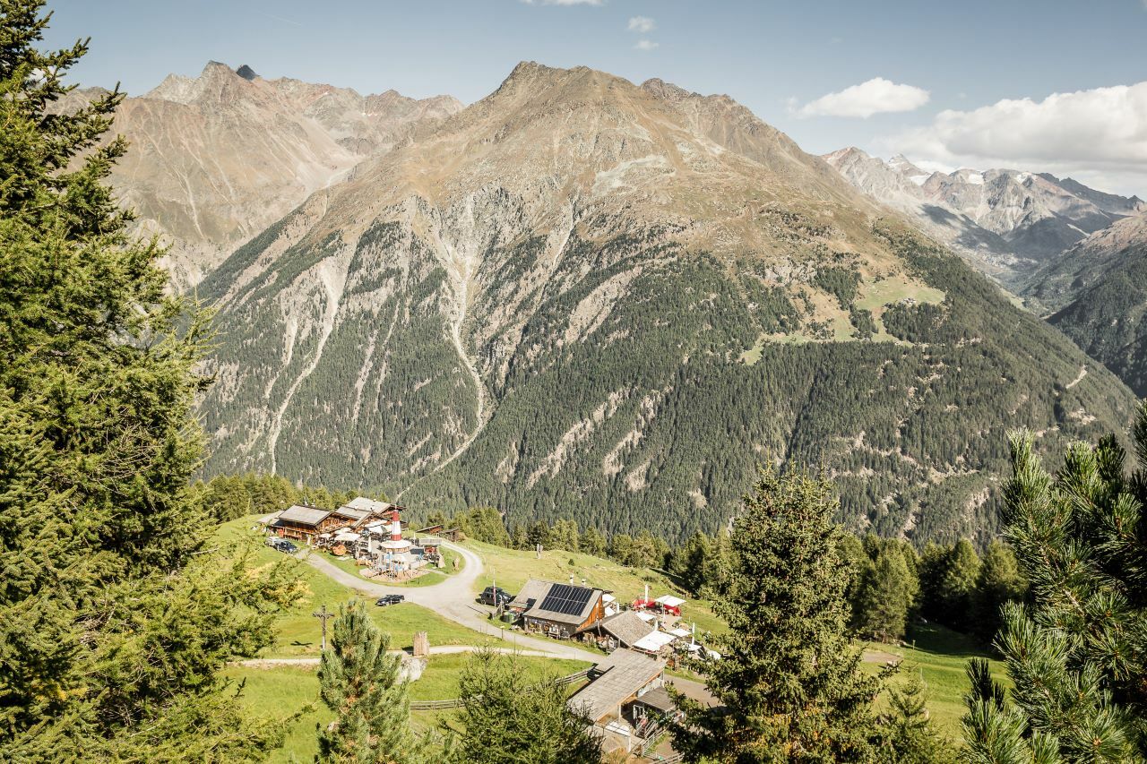
From the middle station of the Gaislachkoglbahn across the ski area from Sölden to the Edelweiss hut.
- Difficulty
-
easy
- Rating
-
- Starting point
-
Middle Station Gaislachkogl Gondola
- Route
-
FalconHühnersteign2.4 kmHochsölden (2,083 m)4.9 kmEdelweißhütte6.9 km
- Best season
-
JanFebMarAprMayJunJulAugSepOctNovDec
- Description
-
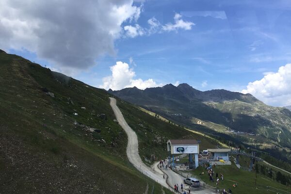
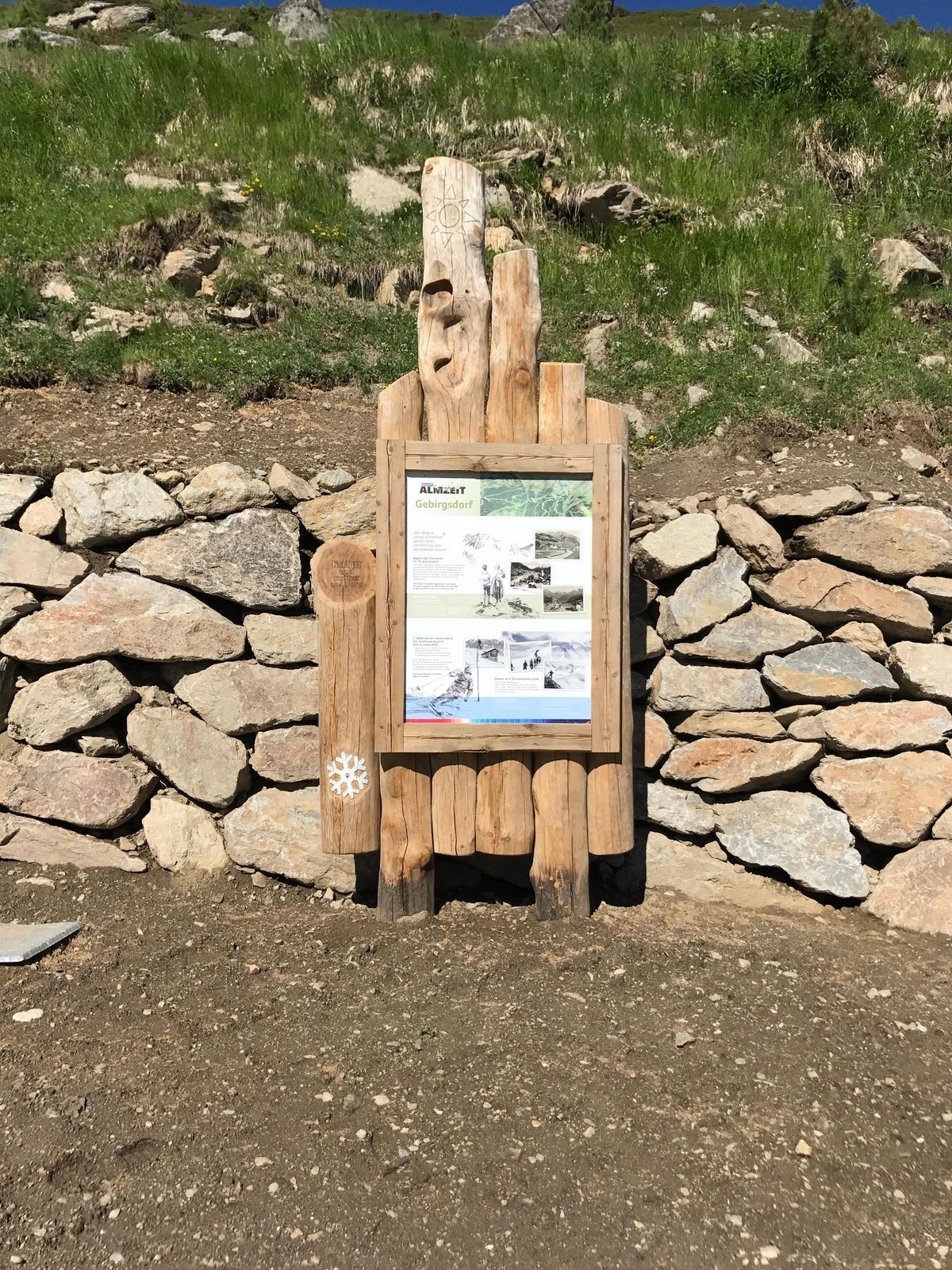
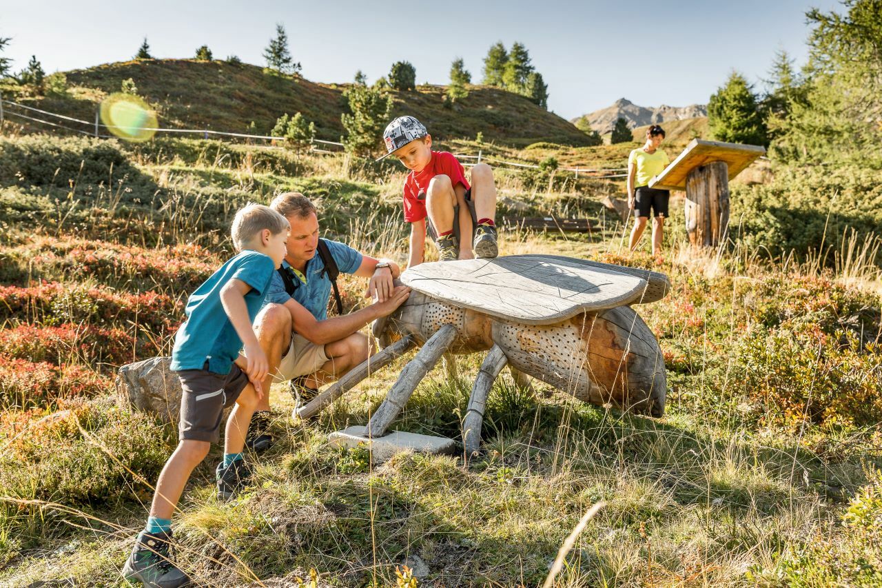
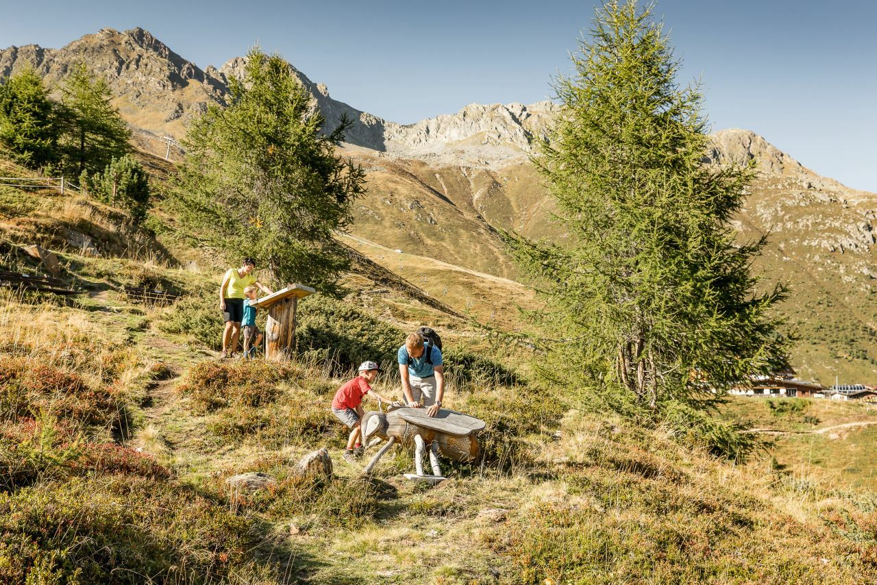
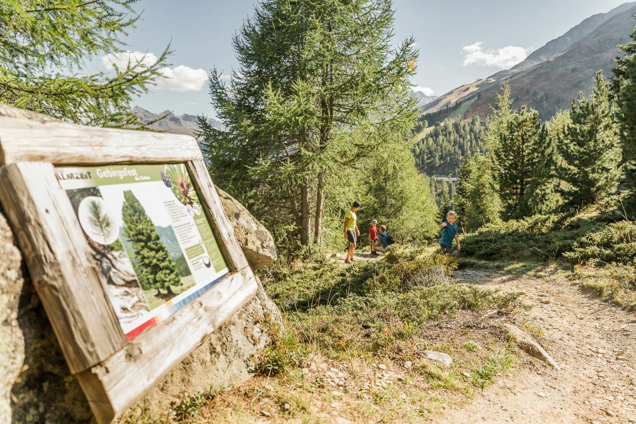
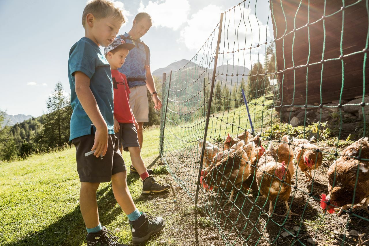
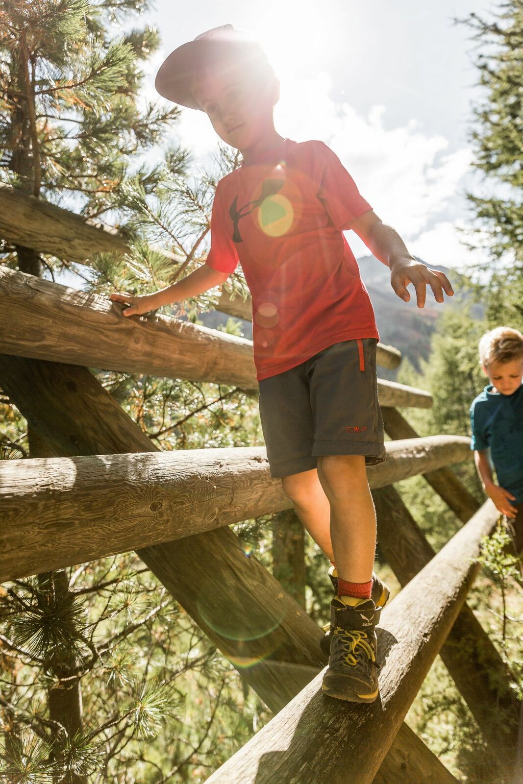
The nature trail is a wonderful hiking trail for young and old. It runs across the Sölden ski area and runs along the forest boundary. You will be off at the Gaislachkoglbahn middle station and then you will pass eleven small stations and four large stations before the end of the route at the Edelweiss hut. This way, you can find that the existence of ski resorts and nature can be very much in line with one another. The educational trail includes many exciting topics. Whether it is the fauna and flora of the Ötztal or ancient customs and traditions, all of this is being worked through here authentically. Furthermore, this route offers insights into life on pastures of past generations and shows you the dangers on the mountain.Of course, a hiking trail is also characterized by its tasty retreats and of which there are some on this trail. If you want to quench your knowledge, but also what you want to do for hunger, this is the right place.
- Directions
-
From the middle station of the Gaislachkoglbahn you go along the hiking trail to the toll on the Gletscherstraße. From there you continue on the Hühnersteige to the Gampe Alm or Gampe Thaya and continue to Hochsölden. Once you arrive in Hochsölden, follow the Hochsölderstraße until you reach the 5th turn and turn right onto the hiking trail, which you follow up to the Edelweiss hut.
- Highest point
- 2,170 m
- Endpoint
-
Leiterbergalm
- Height profile
-

- Equipment
-
Appropriate equipment such as breathable suitable outdoor clothes for the weather, ankle-high walking boots, wind-, rain- & sun protection, hat, possibly gloves, is for all hikes and tours necessary. Please bring a first-aid box, a mobile phone, a walking map and if there is no hut on the way a snack and enough to drink.
- Safety instructions
-
Moderate mountain trail; for sure-footed and experienced hikers. Good physical condition, mountain experience & mountain equipment (see notice equipment) necessary. Please pay attention to the current weather report:
- Additional information
- Directions
-
The car drive to the Ötztal valley. Situated in Tirol, the Ötztal valley set off in southerly direction and is the longest side valley in the Eastern Alps. The journey with the car leads you through the Inntal valley to the entrance of the valley and further on through the valley. Among the toll motorways you can also use the country roads. A route planner will show you the easiest and most convenient way: www.google.at/maps
- Public transportation
- Parking
-
The following parking facilities are available in Sölden:
- Parking lot Postplatz
- parking lot Stiegele
- stair parking
- Giggijochbahn + underground garage
- Gaislachkoglbahn + underground garage
- Parking Hochsölden
- parking garage Hochsölden 1. parking lot
All parking is free during the day.
Parking for several days (eg hike tour):
- Parkgarage Gaislachkoglbahn, Parkticket either online or directly at the cash desk of the Gaislachkoglbahn


- Author
-
The tour Nature Exploration Trail is used by outdooractive.com provided.


General info
-
Ötztal
1103
-
Hochsölden
328