
- Brief description
-
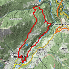
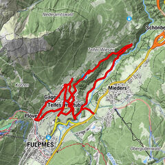
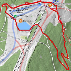
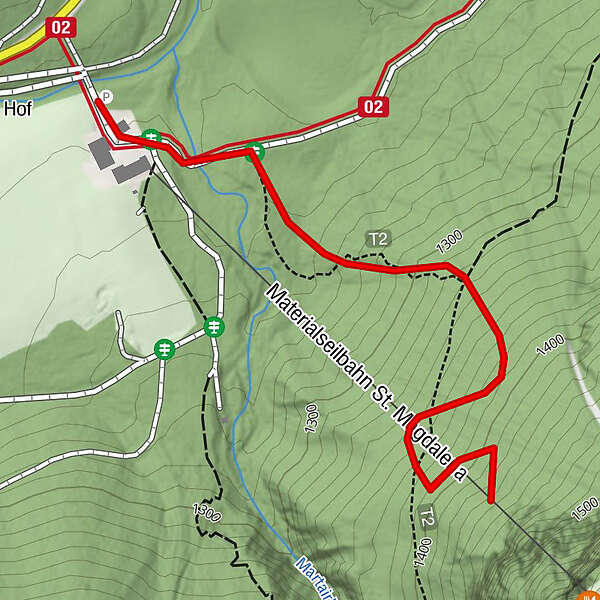
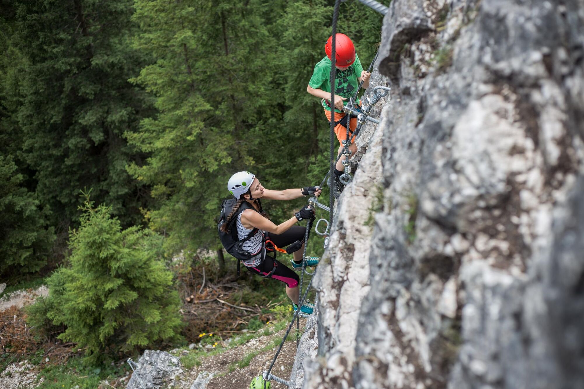
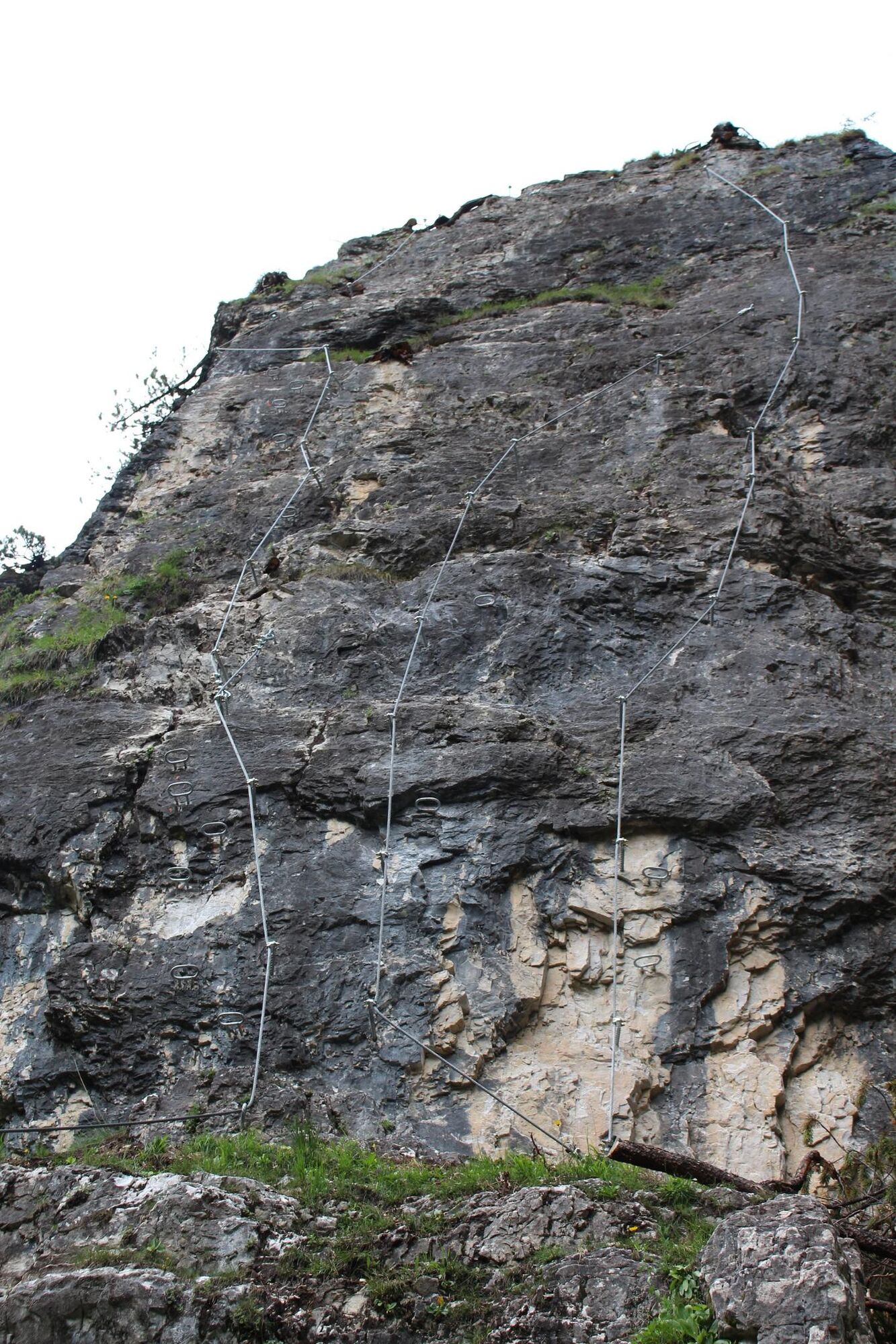
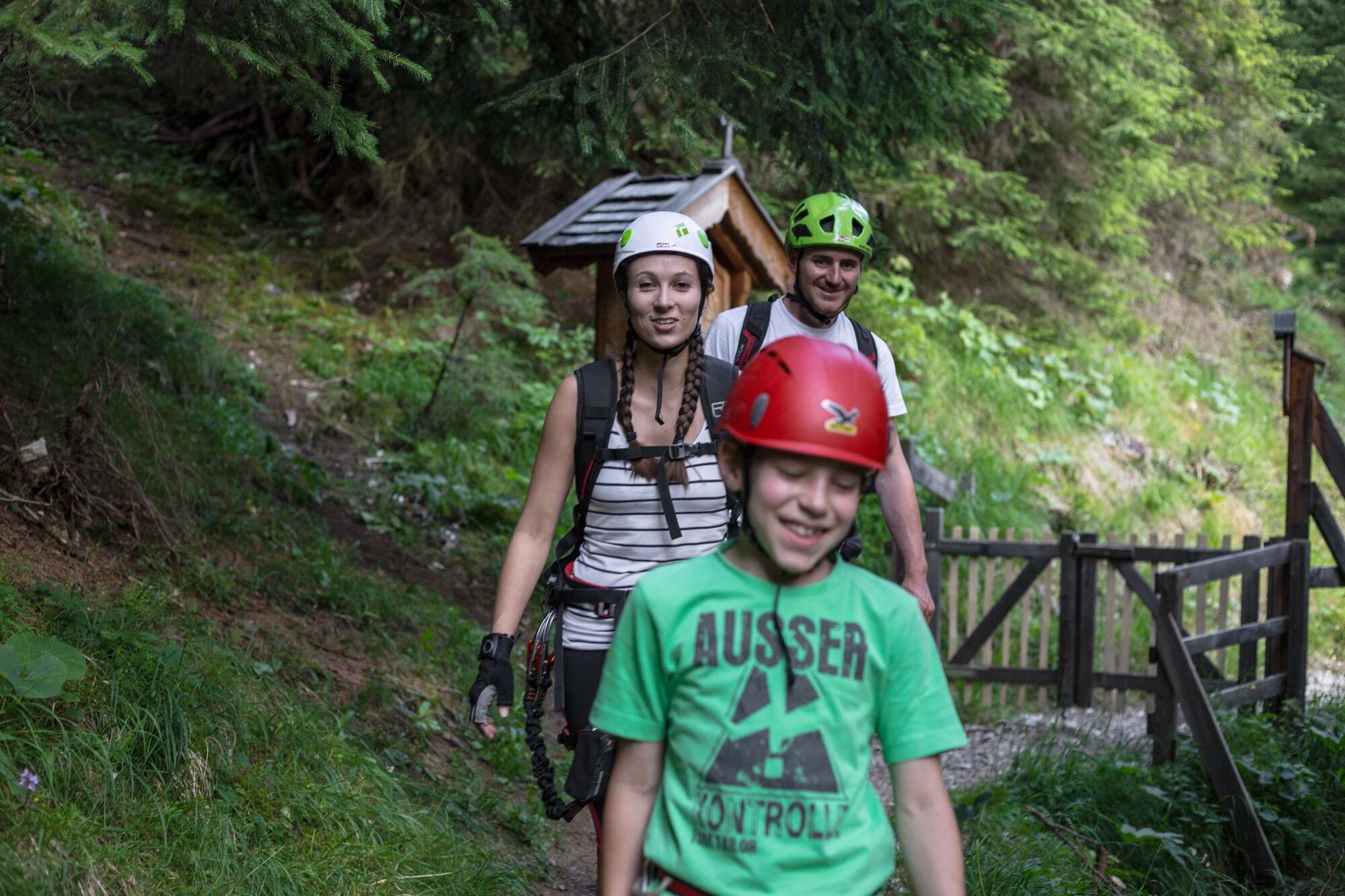
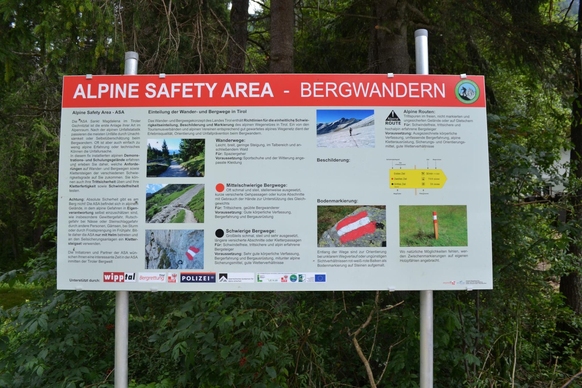
Die Alpine Safety Area ist ein Trainingsgelände, wo Besucher anhand von anschaulichen Informationen das richtige Bergwandern im alpinen Gelände trainieren können. Dieses Schulungsgelände ist die erste Anlage ihrer Art im Alpenraum und wurde aufgrund der steigenden alpinen Unfallzahlen eingerichtet. Die ASA ist ein LEADER Projekt und wurde mit Unterstützung vom Regionalmanagement Wipptal, Land, Bund und Europäischer Union errichtet.
- Difficulty
-
medium
- Rating
-
- Best season
-
JanFebMarAprMayJunJulAugSepOctNovDec
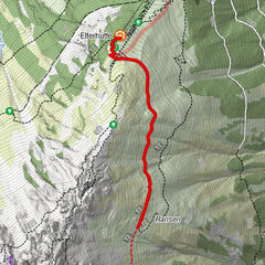
- Highest point
- 1,417 m
- Endpoint
-
Aussichtsplattform "Habichtblick"
- Height profile
-


-

-
AuthorThe tour ASA Alpine Safety Area is used by outdooractive.com provided.
GPS Downloads


General info
A lot of view
Other tours in the regions
-
Brixen und Umgebung
1976
-
Gschnitztal
1039
-
Gschnitz
331