- Brief description
-
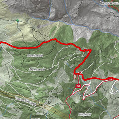
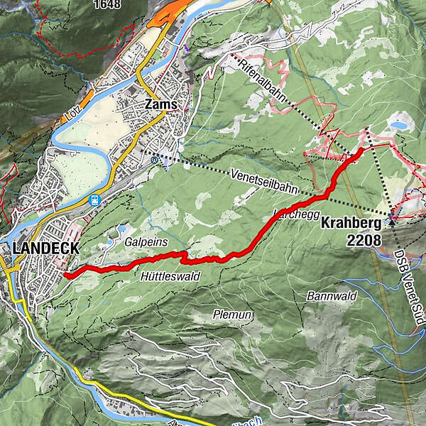
Von der evangelischen Markuskirche über die Trams hinauf zur Zammer Alm
- Route
-
Landeck (817 m)Markuskirche0.0 kmKolpenruan0.1 kmSkihütte Zams4.5 kmJakobikapelle4.7 kmZammer Alm4.9 km
- Highest point
- 1,761 m
- Endpoint
-
Zammer Alm
- Height profile
-

- Author
-
The tour Landeck - Zammer Alm is used by outdooractive.com provided.
GPS Downloads


Other tours in the regions
-
Tirol West
13
-
Zams
7