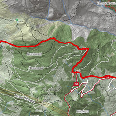
Parkplatz Gogles Alm - Fließer Schihütte

Logo Parkplatz Gogles Alm - Fließer Schihütte
Tour data
6.47km
1,523 - 1,873m
Distance
371hm
359hm
Ascent
02:55h
 
Duration
Brief description

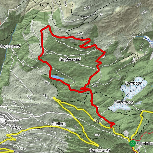
Von der Abzweigung Richtung Gogles Alm geht es den Forstweg entlang bis zu Abzweigung Waldweiher und Fließer Schihütte.

Highest point
1,873 m
Height profile

Author

Overall rating

5

0

%

4

0

%

3

0

%

2

0

%

1

0

%

Error
An error has occurred. Please try again.
Thank you for your review

Rating has been deleted

GPS Downloads
  • GPX GPS Exchange Format (XML)
  • KML Google Earth, Google Maps
QR Download Codes for Mobile Phones
Other tours in the regions

Popular tours in the area

Grins/Grist - Dawin Alpe

Snowshoe
4.12km | 636hm | 02:45h