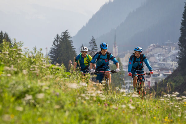
© St. Anton / Arlberg - Wolfgang Ehn
Tour data
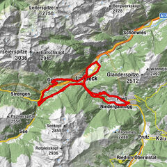
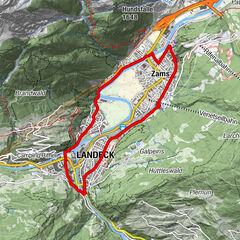
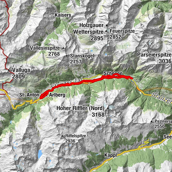
26.68km
1,141
- 1,302m
140hm
138hm
01:52h
St. Anton / Arlberg
- Brief description
-
Simple, beautiful, and family-friendly round trip along the Rosanna in the Stanzertal between Sankt Anton and Flirsch.
- Route
-
St. Anton am Arlberg (1,284 m)0.2 kmSt. Anton am Arlberg (1,309 m)0.8 kmSankt Jakob am Arlberg3.3 kmGrillplatz und Biotop Vadiesen5.8 kmPettneu am Arlberg (1,222 m)7.5 kmSchnann10.6 kmTotenkapelle13.0 kmPfarrkirche hl. Bartholomäus13.0 kmFlirsch (1,154 m)13.1 kmBasur Stub'n13.1 kmSeelenkapelle14.5 kmPfarrkirche hl. Rochus15.5 kmFriedhofskapelle Schnann15.5 kmSchnann15.6 kmPettneu am Arlberg (1,222 m)18.6 kmGrillplatz und Biotop Vadiesen20.4 kmSankt Jakob am Arlberg23.0 kmPfarrkirche St. Anton und Mariahilf25.6 kmSt. Anton am Arlberg (1,284 m)26.0 km
- Description
-
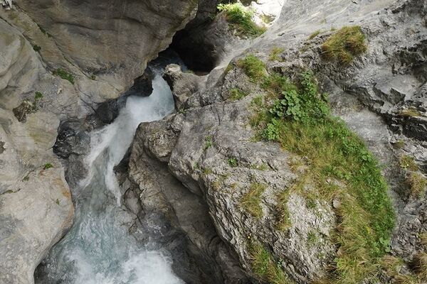
Take the asphalted path from the Wellness & Convention Centre Arlberg-well.com east up to the Nasserein gondola station, from here go straight ahead on the Nasserein road until the second bridge, before the bridge take a right into the woods over the railway tunnel and down again to the Rosanna river. Go along the right hand bank past the Sport centre in Pettneu and on to Schnann. A rewarding side excursion is to the Schnann gorge from the centre of the village. Cross over the river in Schnann and return along the other bank as far as St. Jakob.
Variant: Go through the village of St. Jakob and visit the parish church. Cross over the Rosanna and cycle back to St. Anton up to the Arlberg-well.com.
- Highest point
- 1,302 m
- Height profile
-


- Author
-
St. Anton / ArlbergThe tour Stanzertaler Cycling Track is used by outdooractive.com provided.
GPS Downloads


Other tours in the regions