KulTour Heilwasserweg (theme path - curative water) Kramsach - route 37


- Brief description
-
Easy cycling route following the trail of Kramsach's thermal waters.
Water is a cultural asset! Explore the beautiful nature around the streams, fountains and lakes along the KulTOUR Heilwasser route in Kramsach.
- Difficulty
-
easy
- Rating
-
- Starting point
-
Rattenberg
- Route
-
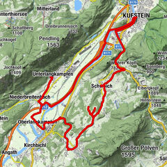
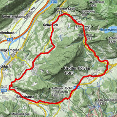
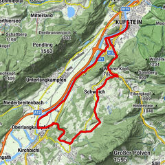
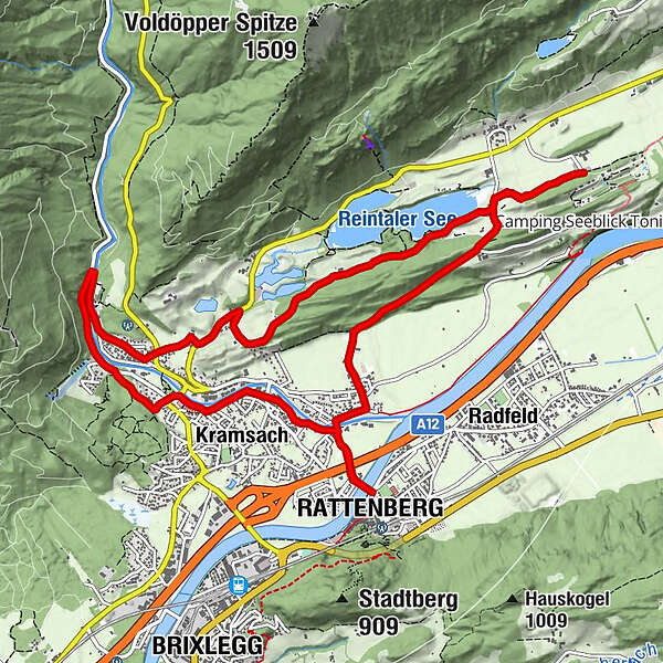
RattenbergBadl0.0 kmWeidachkapelle0.6 kmWeidach0.6 kmFachental0.8 kmClaudiaplatz0.8 kmZentrum1.1 kmBergfeld1.2 kmAchenrain1.5 kmLänd1.6 kmKramsach1.6 kmWittberg (526 m)2.1 kmLiftstüberl2.8 kmRadetzkyweg2.8 kmKalvarienbergkapelle3.7 kmWallfahrtskirche (Basilika) Hl.Dominikus zu Mariathal3.9 kmGasthaus Mariathal4.0 kmMariatal (533 m)4.1 kmEbnat4.5 kmSeebühel5.9 kmPlattform Barrierefrei7.6 kmAntoniuskapelle7.8 kmBrantlhof7.9 kmSeehof9.7 kmNeudegger Kapelle10.1 kmVoldöpp (515 m)11.8 kmKirchfeld12.2 kmFachental12.3 kmWeidachkapelle12.3 kmWeidach12.4 kmBadl12.7 kmRattenberg12.8 km
- Best season
-
JanFebMarAprMayJunJulAugSepOctNovDec
- Description
-
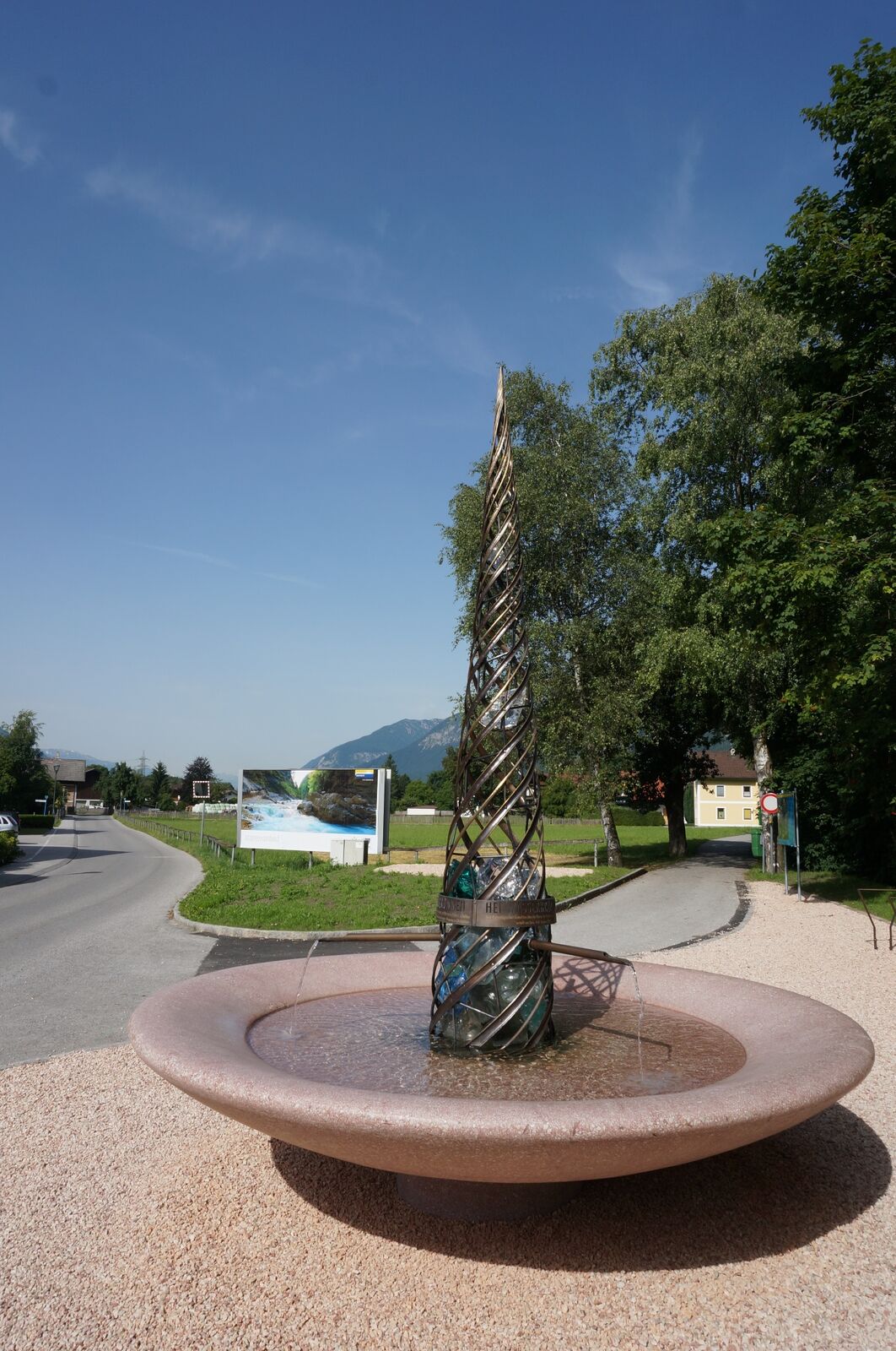
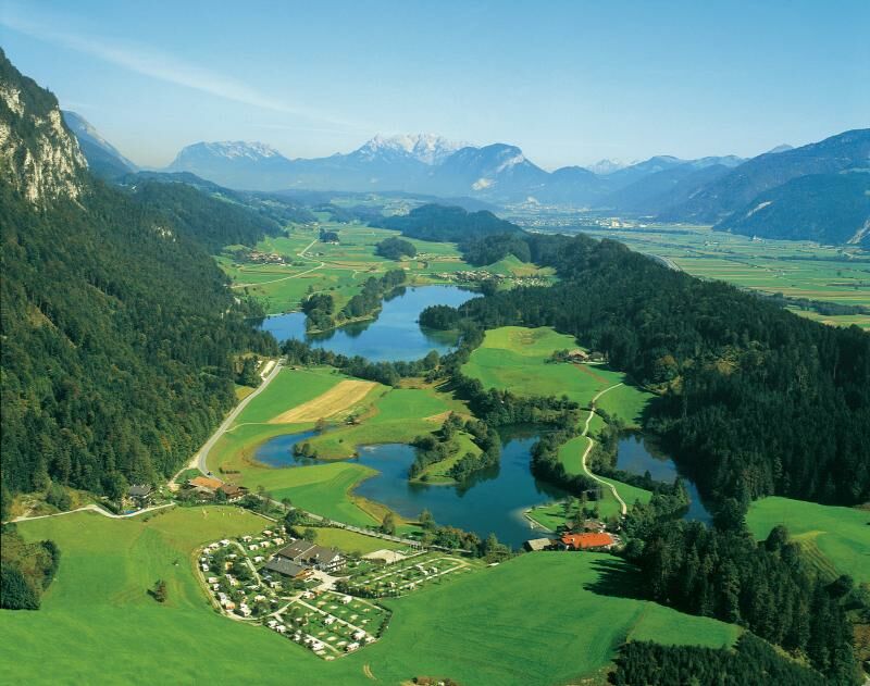
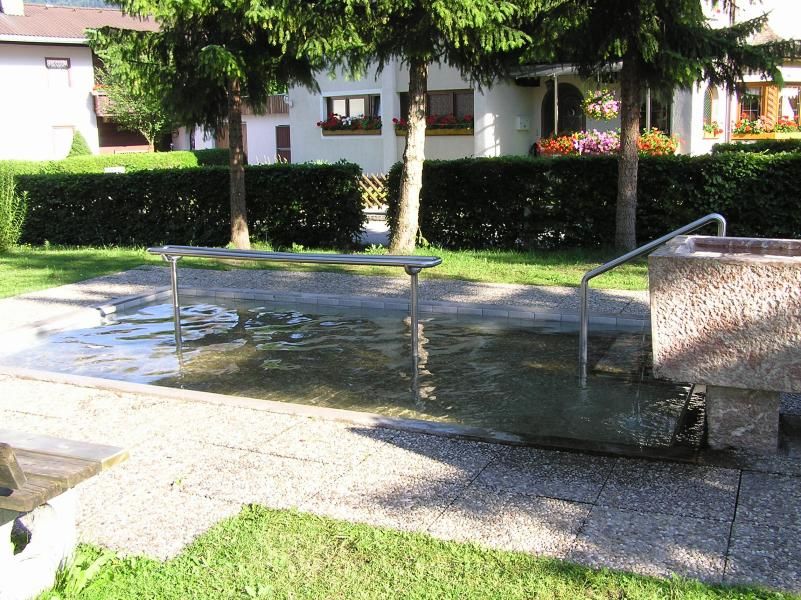
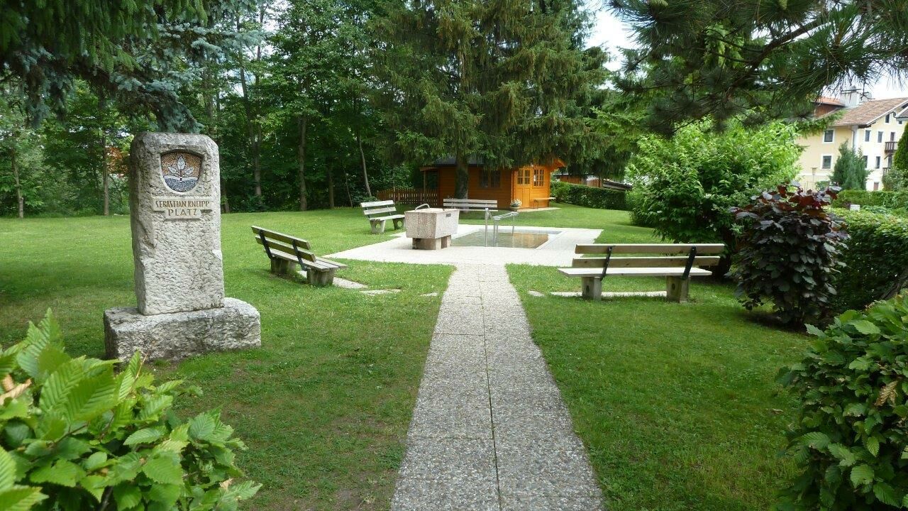
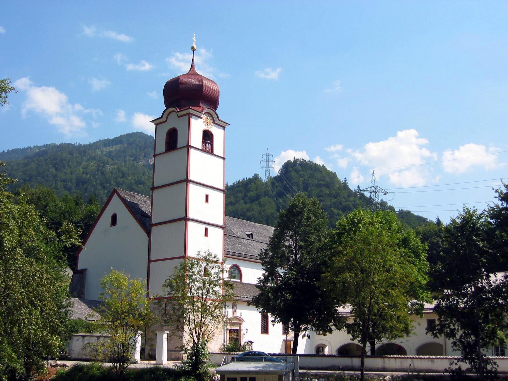
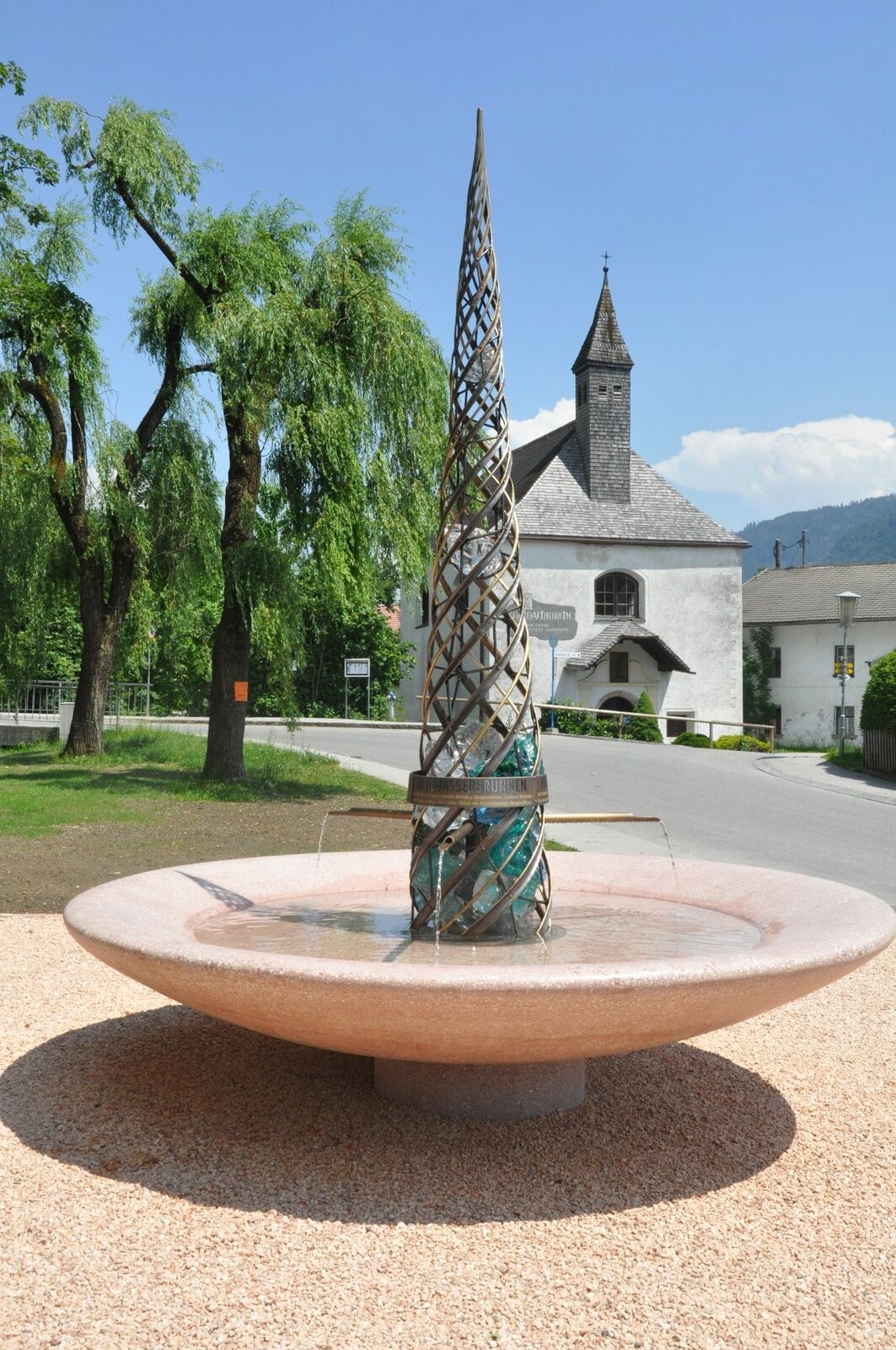
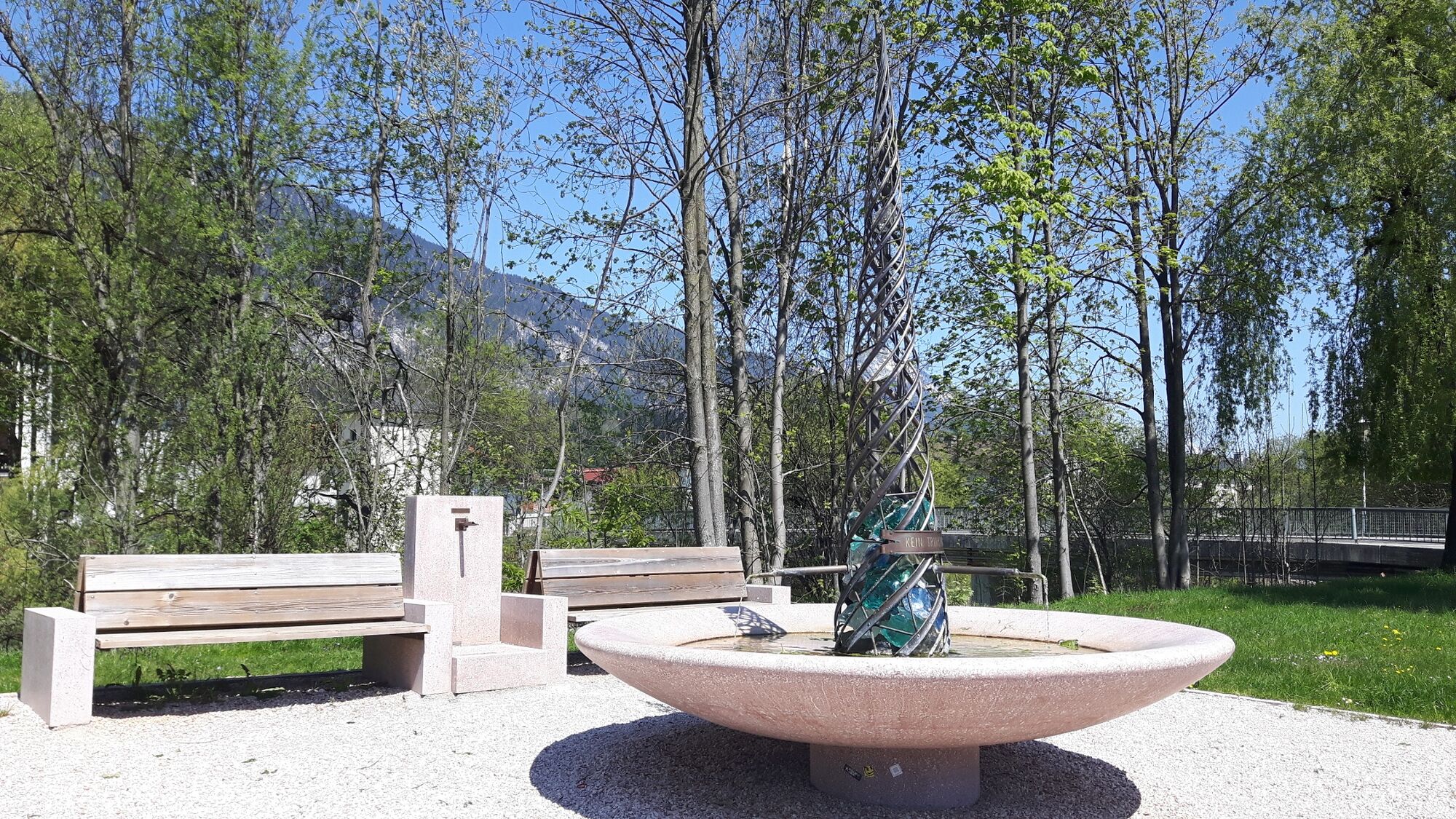
The tour starts at the Inn Valley cycle path no. 2, at the Rattenberg/Kramsach bridge over the Inn. Cycle towards Kramsach and follow the signs to the “Heil- & Thermalwasserbrunnen” (thermal water fountain) in Kramsach/Waidach. Cycling to the left of the Brandenberg River the route leads towards Kramsach centre and on to the Kramsach Kneipp facilities and the former "Holztrift" (wood used to be transported down the river). Following a short uphill cycle, pass the defunct Sonnwendjochbahn and continue along the L4 towards Brandenberg/Aschau. At the second wooden bridge cross the river and continue towards the Mariathal Basilica and the Kramsach lakes. Bear right at the mill (first mentioned in a document in 1658) water wheel the mill uphill via "Seebühel", through a short stretch of woods and on to Lake Reintal. Take the main road to cycle back towards Kramsach and the “Heil- & Thermalwasserbrunnen” (thermal water fountain). Take the same route you took to start the tour to return to the starting point.
Alternatively, cycle along the hiking/biking trail to the east of Lake Reintal near the camping sites for approx. 5 minutes to the Museum of Tyrolean Farmhouses. A visit to the largest open-air museum in the Tyrol is always worthwhile (duration approx. 1 1/2 hours).
Finish this beautiful bike tour in Rattenberg, Austria's smallest town with coffee and cake or with a tour of the town.
Note: Total time incl. visits and stops: approx. 3-4 hours
- Directions
-
Inn cycle path 2, Inn bridge Rattenberg/Kramsach - Kramsach - Kramsach/Waidach - Kramsach centre - Wittberg - main road towards Brandenberg/Aschau - cross stream at second wooden bridge - Mariathal basilica - Seebühel - main road towards Lake Reintaler/Moosen - Museum of Tyrolean Farmhouses - via Neudegger Höhenweg - Voldöpp - Fachental - Inn bridge Rattenberg/Kramsach, Inn cycle path 2
- Highest point
- 614 m
- Endpoint
-
Rattenberg
- Height profile
-

- Equipment
-
Sun and all weather protection, bike with gears (in part uphill)
- Tips
-
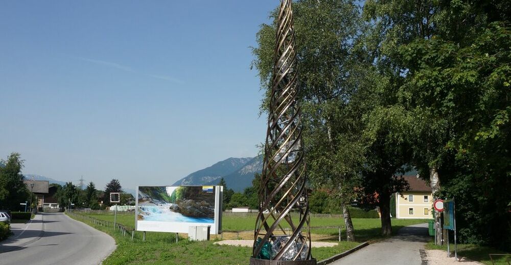
The thermal water fountain in Kramsach is made of marble sourced in Kramsach!
- Directions
-
A12, motorway Kramsach, towards Rattenberg
Main road B171 to Rattenberg
- Public transportation
- Parking
-
Rattenberg East P5 (free parking), cemetery car park


- Author
-
The tour KulTour Heilwasserweg (theme path - curative water) Kramsach - route 37 is used by outdooractive.com provided.


General info
-
Alpbachtal
44
-
Kramsach
10