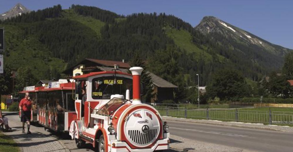
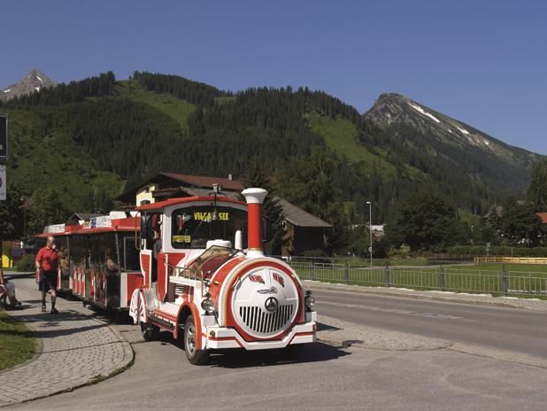
© Tourismus Tannheimer tal - Reinhard Walk
Tour data
10.44km
1,065
- 1,173m
81hm
35hm
00:45h

- Brief description
-
Mit dem Rad unterwegs in der traumhaften Bergkulisse des Tannheimer Tales.
- Difficulty
-
easy
- Rating
-
- Route
-
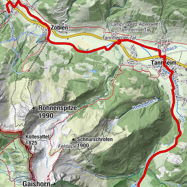
Schattwald (1,072 m)0.5 kmWies0.7 kmHaus Schattwald (1,100 m)0.8 kmFricken1.0 kmZöblen (1,087 m)1.9 kmFischteich3.3 kmTannheim (1,097 m)5.9 kmSt. Nikolaus6.1 kmMariahilf-Kapelle6.7 kmBogen7.0 kmSchmieden7.3 km
- Best season
-
JanFebMarAprMayJunJulAugSepOctNovDec
- Highest point
- 1,173 m
- Endpoint
-
Bergbahn Schattwald
- Height profile
-

- Author
-
The tour Mit dem Rad zum Vilsalpsee is used by outdooractive.com provided.
GPS Downloads


General info
Refreshment stop
A lot of view
Other tours in the regions
-
Allgäu
389
-
Tannheimer Tal
151
-
Tannheim
30