

© Tourismusverband Region Hall-Wattens - Hall Wattens
- Brief description
-
An ideal short route for the slightly advanced runners and Nordic walkers
- Difficulty
-
medium
- Rating
-
- Best season
-
JanFebMarAprMayJunJulAugSepOctNovDec
- Description
-
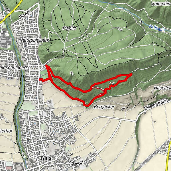
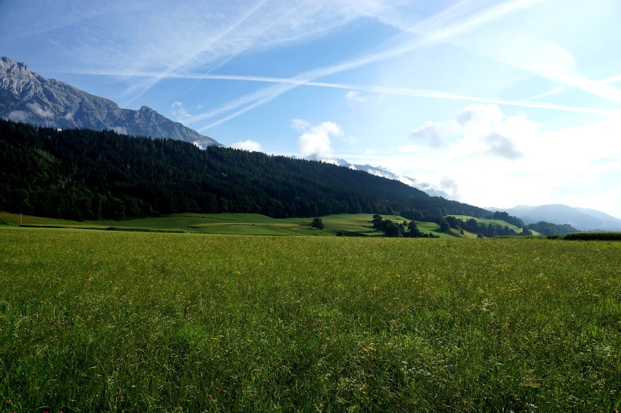
A forest circuit with relatively easygoing gradients and various views of the Mils fields, the Inntal Valley and the Glungezer.
- Directions
-
Starting at the Mils Sports Ground, the route initially heads toward Mooskreuz. When reaching the first junction, you head uphill on the initially slight gradient of the attractive Haslach Circuit. This leads along a pleasant forest trail, which allows occasional views of the Mils fields and the Glungezer. After a sweeping turn, the route leads toward the edge of the forest and then along meadows and fields right back to the starting point.
- Highest point
- 737 m
- Endpoint
-
Milser Sportplatz
- Height profile
-

- Author
-
The tour Haslach circuit is used by outdooractive.com provided.
GPS Downloads


General info
A lot of view
Other tours in the regions