
© Tourismusverband Region Hall-Wattens - Anne W.

© Tourismusverband Region Hall-Wattens - Anne W.
- Brief description
-
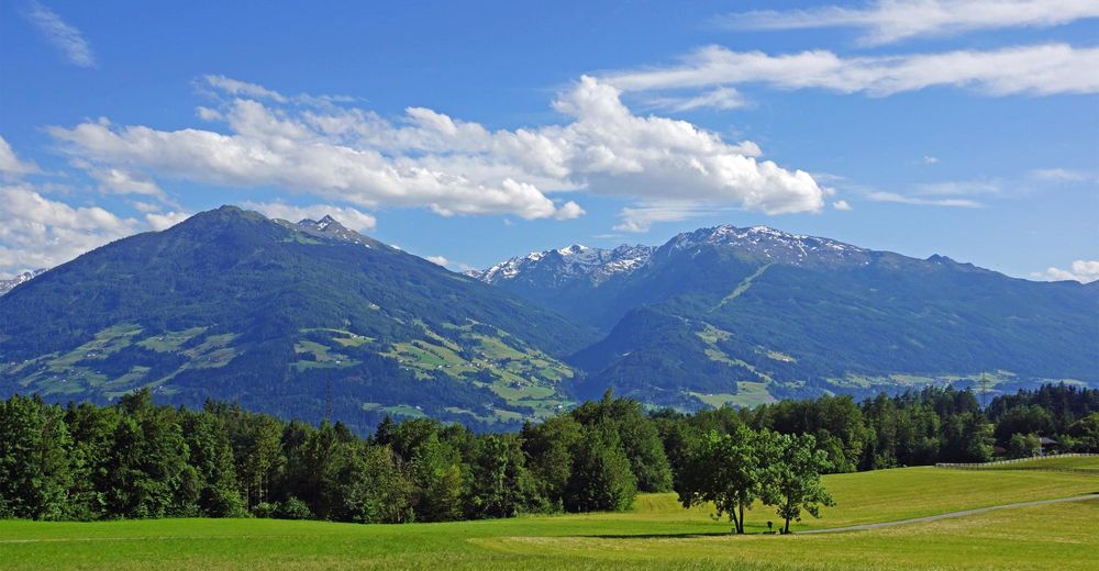
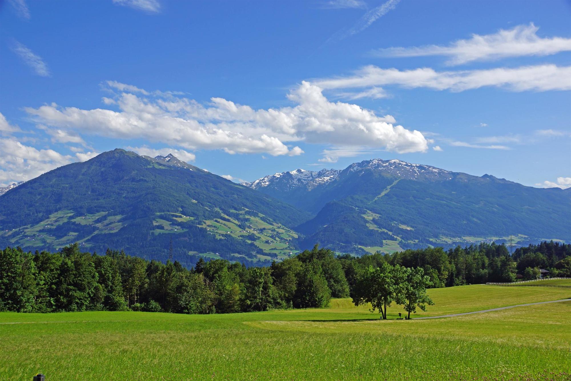
A route through the beautiful mixed forest, mostly even with slight gradients. The route is only interrupted by two strength-sapping climbs. These present challenges to the stamina
- Difficulty
-
easy
- Rating
-
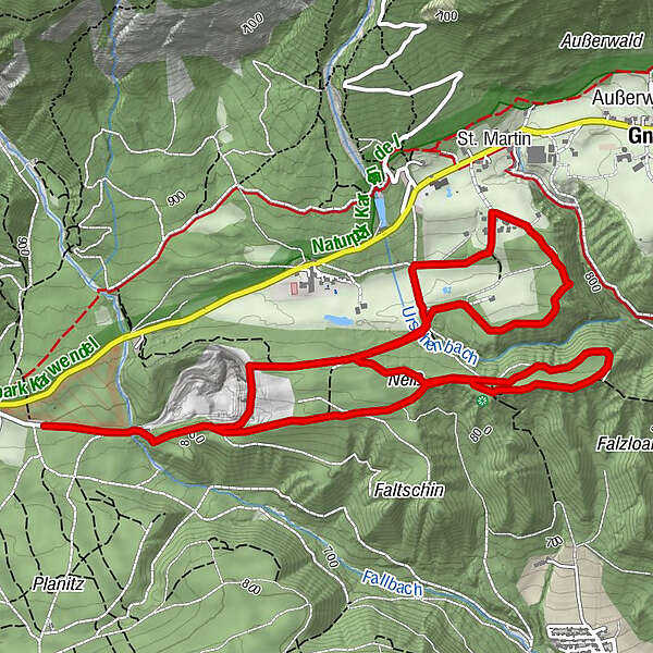
- Route
-
Neiß3.2 km
- Best season
-
JanFebMarAprMayJunJulAugSepOctNovDec
- Description
-
Through a shady forest.
- Directions
-
The route leads from the starting point at the Bogner Aste toward Schottergrube (gravel pit), then the root takes a steep uphill gradient for more than 1 km along the edge of the forest and then runs on an almost even plane through the beautiful mixed forest of the Neiss. After making a loop, the route then heads down toward fields and meadows before climbing up toward Speckbacherhof. Heading back through a sparse woodland, you then double back along a short section, continue along the forest mile and the Schottergrube (gravel pit) until you return to the starting point.
- Highest point
- 878 m
- Endpoint
-
Mils, Bogner Aste
- Height profile
-

- Author
-
The tour Gnadenwald circuit is used by outdooractive.com provided.
GPS Downloads


General info
A lot of view
Other tours in the regions