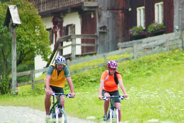
© Naturparkregion Reutte - Stefanie Pauli
© Naturparkregion Reutte - Stefanie Pauli

- Brief description
-
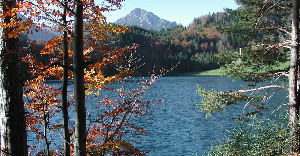
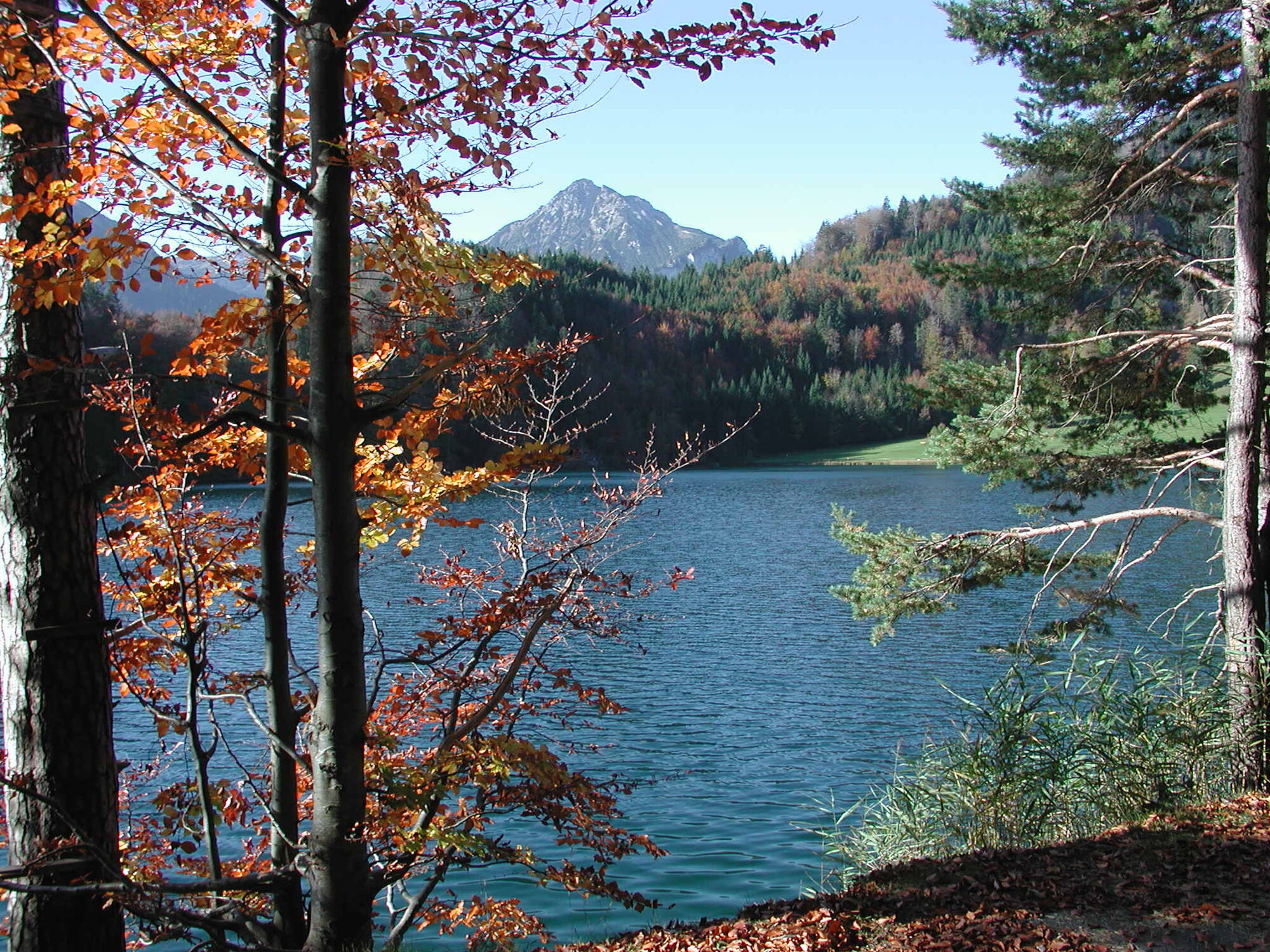
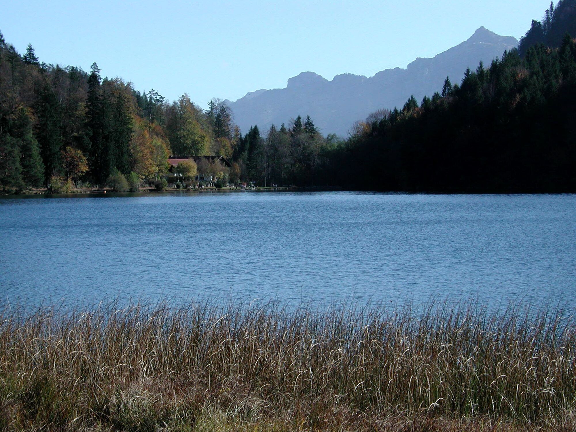
Ein ruhiges Tal, eine kleine Stadt und ein schöner See – all das macht diese Tour zu einem Erlebnis!
- Difficulty
-
medium
- Rating
-
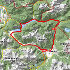
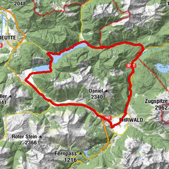
- Route
-
OberletzenMariae Heimsuchung1.4 kmRoßschläg1.5 kmHl. Antonius2.0 kmBrandstatt (842 m)2.0 kmSaba2.7 kmLeite3.0 kmMusau (821 m)3.7 kmRiedle3.7 kmMusau / Platte4.0 kmVils (826 m)7.8 kmSt. Anna9.0 km
- Best season
-
JanFebMarAprMayJunJulAugSepOctNovDec
- Highest point
- 898 m
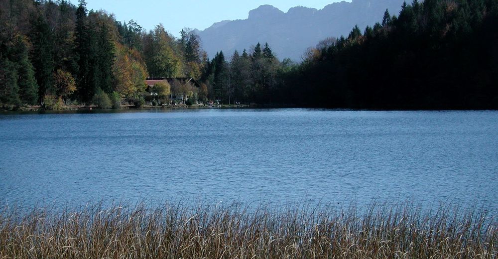
- Endpoint
-
Alatsee
- Height profile
-

- Author
-
The tour Zum Alatsee is used by outdooractive.com provided.
GPS Downloads


General info
Refreshment stop
Other tours in the regions
-
Allgäu
188
-
Naturparkregion Reutte
219
-
Pinswang
78