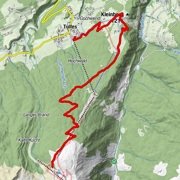
Tour data
10.03km
947
- 2,033m
740hm
740hm
03:15h
- Brief description
-
Anspruchsvolle Tour in Richtung Glungezer
- Difficulty
-
medium
- Rating
-
- Starting point
-
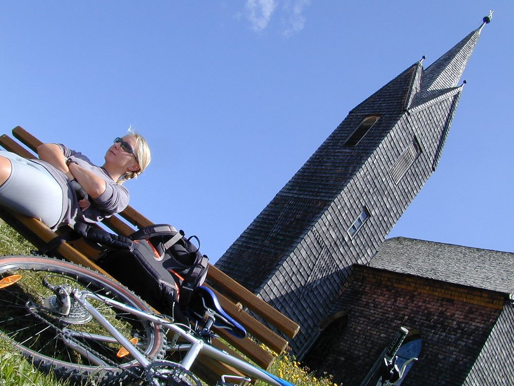
Tulfer Kirche
- Route
-
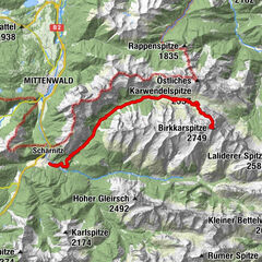
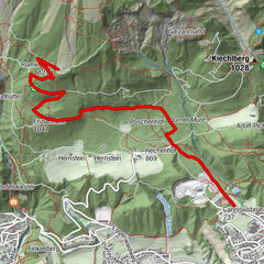
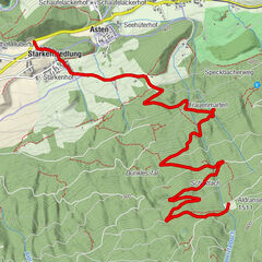
Tulfes (923 m)Kirche Windegg2.4 kmWindegg2.5 kmPanoramagasthaus Neue Gufl3.7 kmGluckserhütte4.0 kmTulfein Alm10.0 km
- Best season
-
JanFebMarAprMayJunJulAugSepOctNovDec
- Highest point
- Tulfein Alm (2,033 m)
- Rest/Retreat
-
Tulfeinalm
Bei anderer Abfahrt: Rinner Alm, Gasthof Halsmarter, Gluckserhütte - Ticket material
-
Den Moutainbike Führer der gesamten Region Hall bekommen Sie beim
TVB Region Hall
Wallpachgasse 5, A - 6060 Hall in Tirol
Tel.: +43 5223 56929 Fax: -30
www.regionhall.at
office@regionhall.at
GPS Downloads


Surfaces
Asphalt
Gravel
Mountain paths
Single trails
Trial
Traffic
Other tours in the regions