Tour data
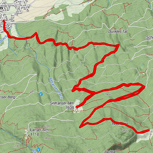
16.52km
962
- 1,882m
971hm
953hm
01:45h
- Brief description
-
Gut zu fahren auf sehr gutem Forstweg. Gegen Ende wird der Forstweg ruppiger.
- Difficulty
-
medium
- Rating
-
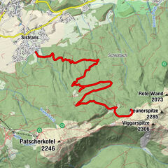
- Route
-
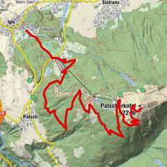
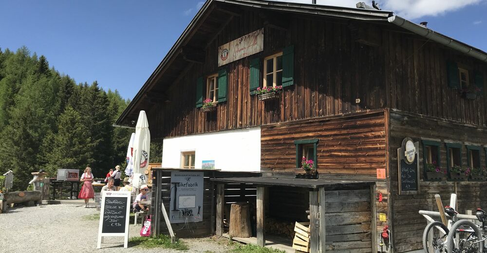
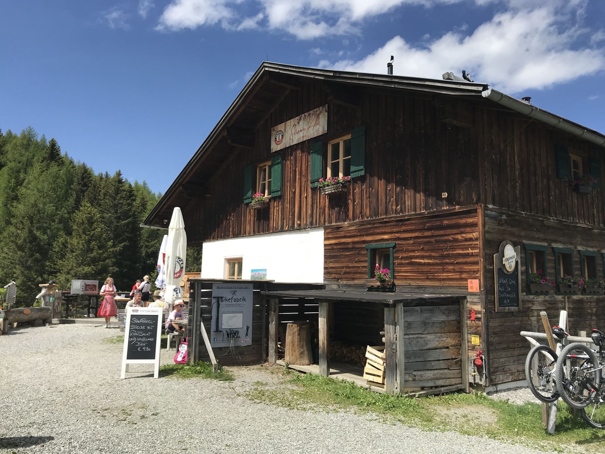
Sistrans (919 m)Unterer Berg0.6 kmIssboden7.9 kmSistranser Alm (1,609 m)11.9 kmUnterer Berg15.8 kmSistrans (919 m)16.5 km
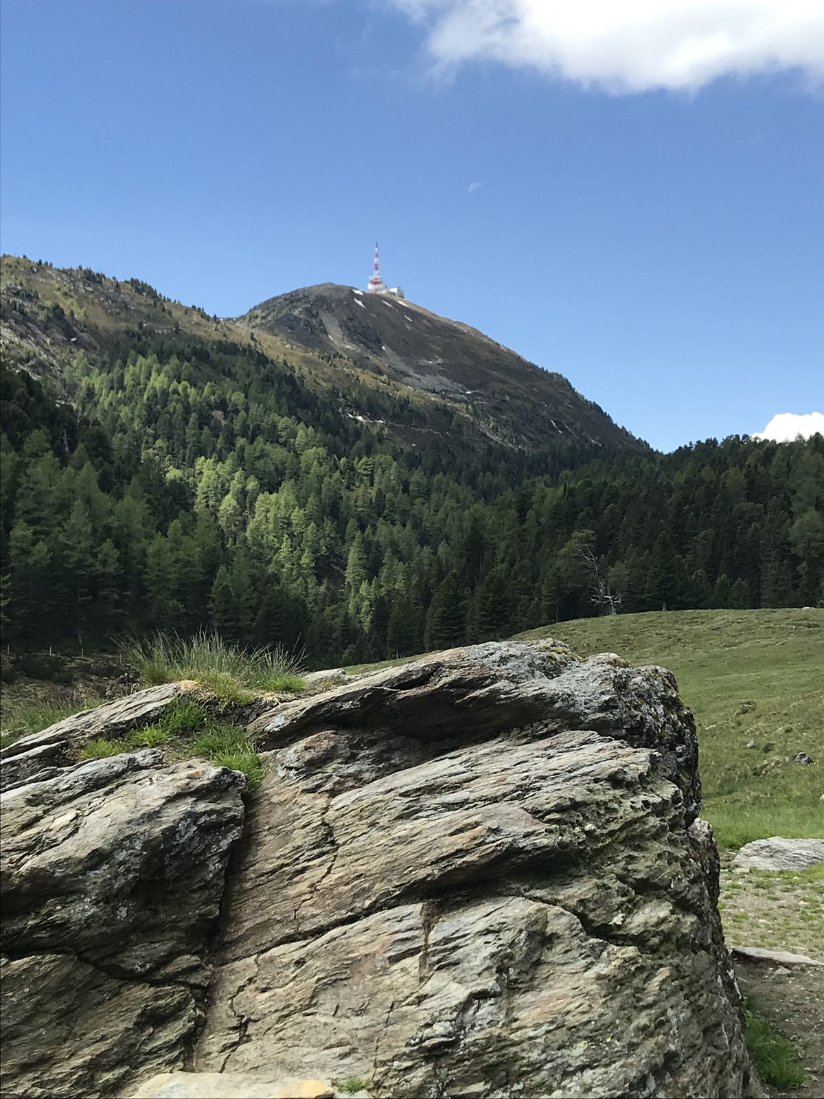
- Highest point
- 1,882 m
GPS Downloads


Other tours in the regions

")