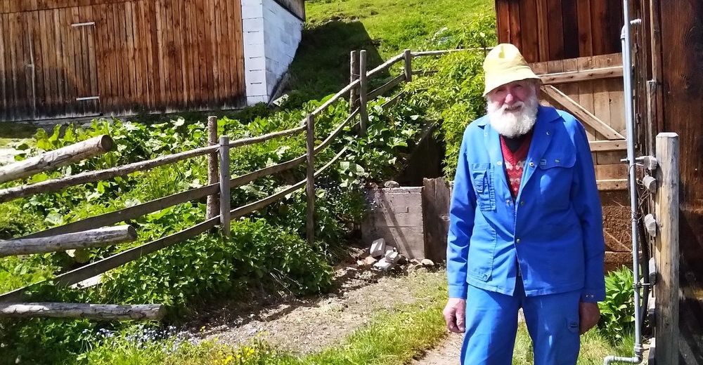
© Jörg
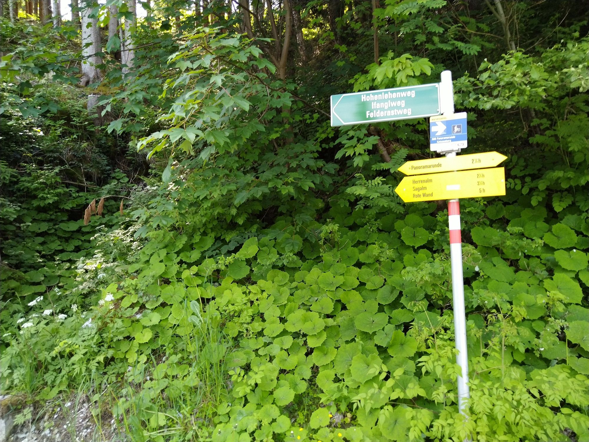
© Jörg
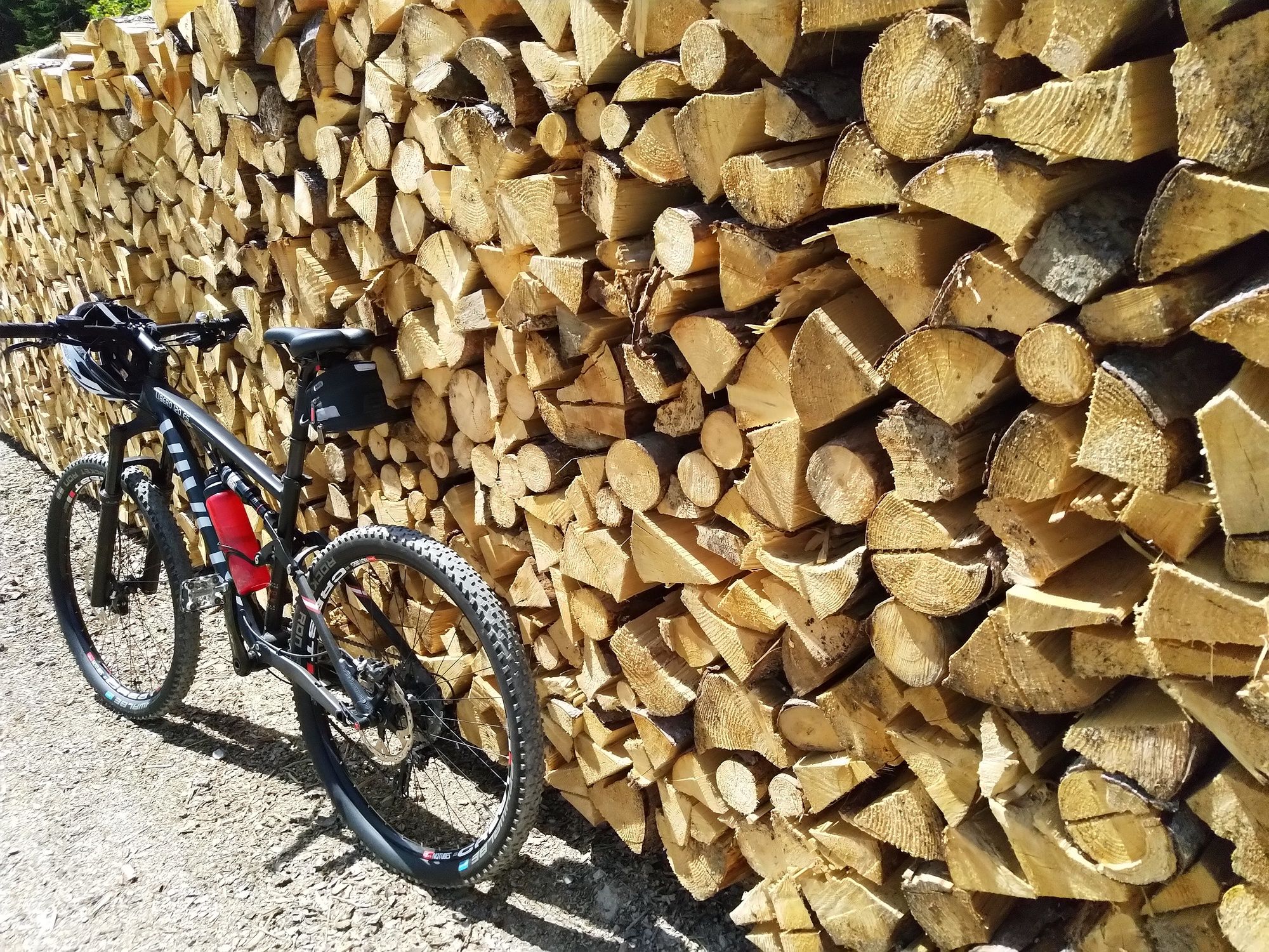
© Jörg
© Jörg
© Jörg
© Jörg
© Jörg

© Jörg
© Jörg
© Jörg
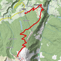
Tour data
9.16km
897
- 1,723m
848hm
848hm
03:00h

- Brief description
-
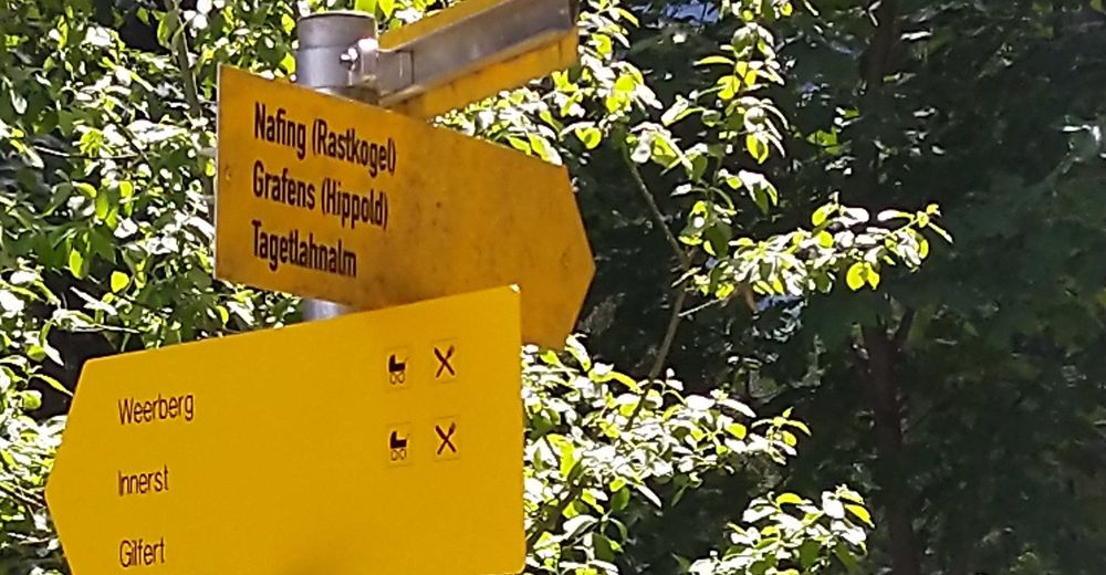
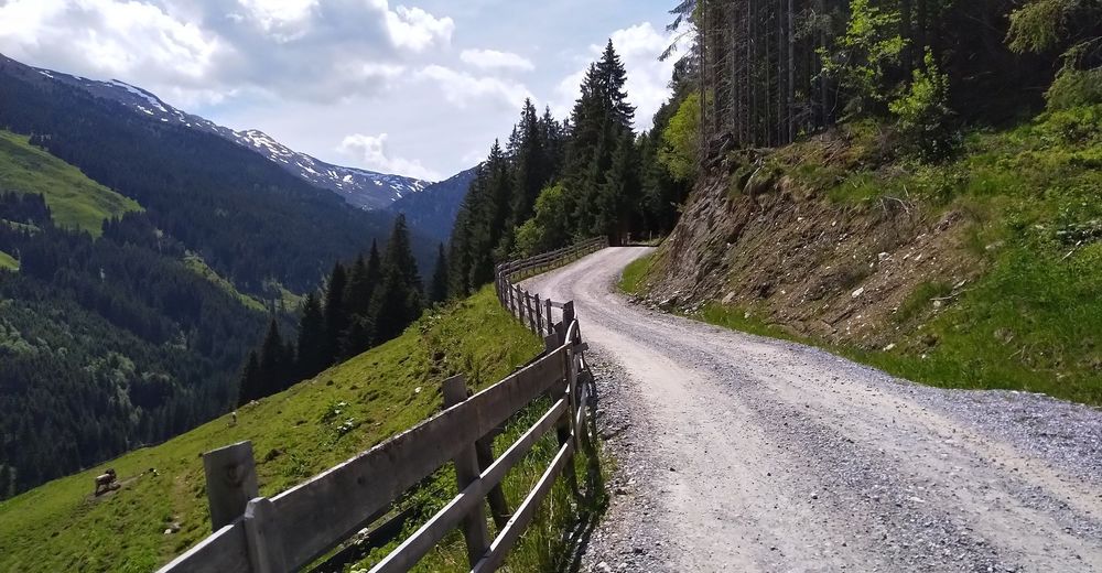
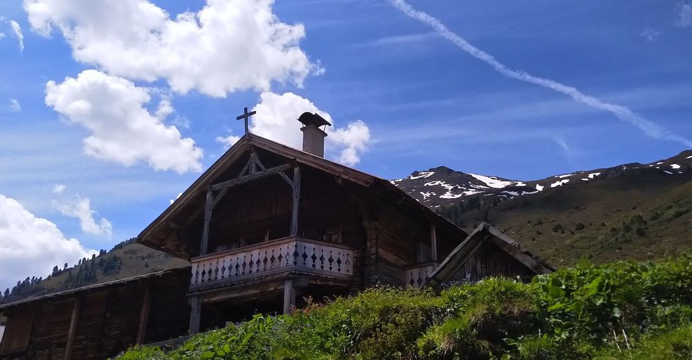
Schöner Wege bis zur wunderscönen Alm unter dem Wildofen
- Difficulty
-
medium
- Rating
-
- Starting point
-
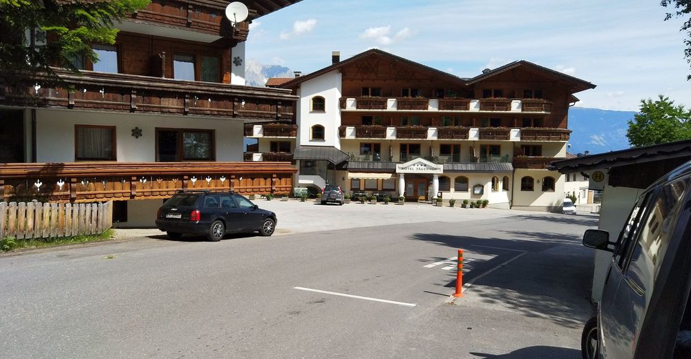
GH Jägerhof
- Route
-
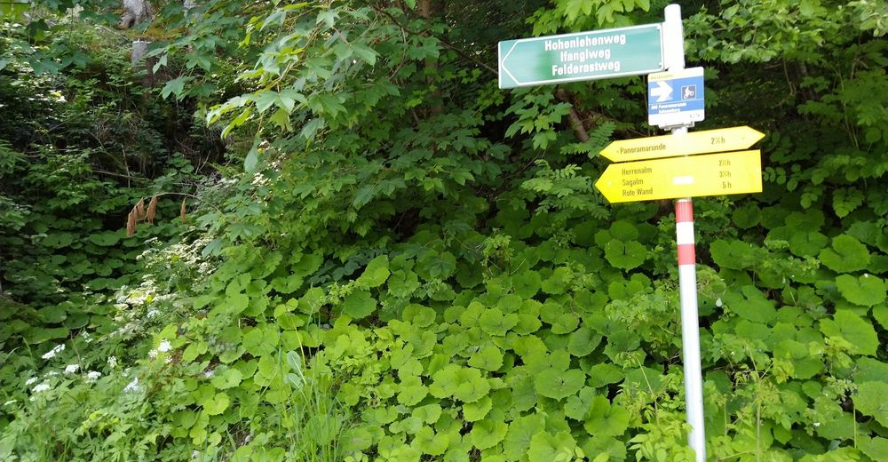
Kolsassberg (906 m)0.0 kmTagetlahnalm9.1 km
- Best season
-
JanFebMarAprMayJunJulAugSepOctNovDec
- Highest point
- Tagetlahnalm (1,723 m)
- Endpoint
-
Targetlahnalm
- Rest/Retreat
-
keine
- Ticket material
-
Kompass 34


- Info phone
-
keines
- Link
- https://www.facebook.com/EMountainbikeHuettenga...
- Source
- Jrg Pircher
GPS Downloads


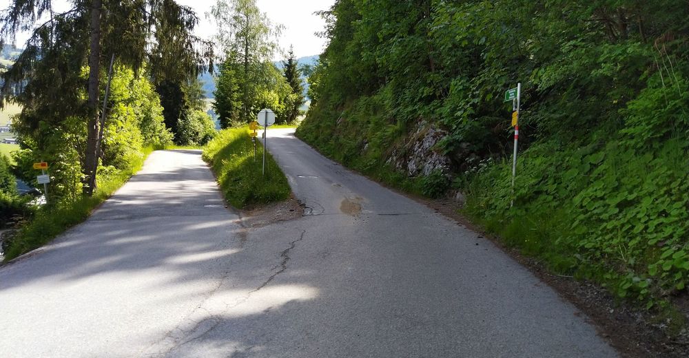
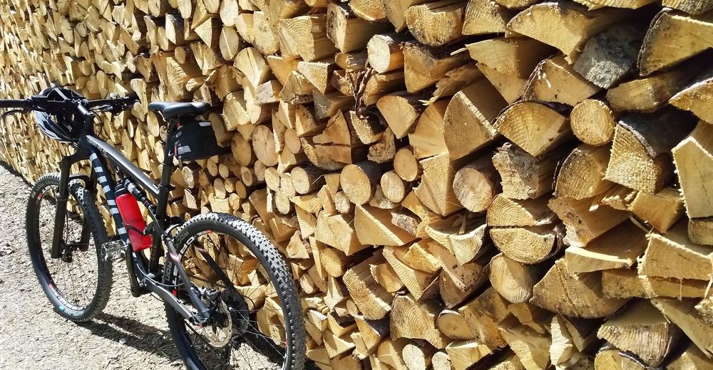
Surfaces
Asphalt
(40%)
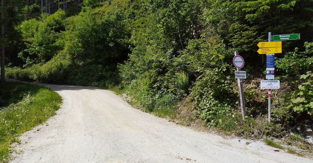
Gravel
(60%)
Forest
Mountain paths
Single trails
Trial
Traffic
(Almen)
Other tours in the regions